|
Pterostylis Nutans
''Pterostylis nutans'', commonly known as the nodding greenhood or the parrot's beak orchid, is a species of orchid endemic to eastern Australia. Nodding greenhoods have flowers which "nod" or lean forwards strongly, have a deeply notched sinus and a curved, hairy labellum. Description ''Pterostylis nutans'' has a rosette of between three and six egg-shaped to elliptic leaves, each leaf long and wide. The leaves are dark green, have a wavy edge and a distinct petiole. A single translucent white flower with green stripes and brown colouration is borne on a flowering spike high, the flower strongly "nodding" or leaning forwards. The flowers are long, wide. There is a wide gap at each side of the flower between the petals and the lateral sepals. The lateral sepals curve forwards, have a tapering tip, long and there is a deeply notched sinus between them. The labellum protrudes from the flower and is long, wide, curved, blunt, green and brown and covered with short, bri ... [...More Info...] [...Related Items...] OR: [Wikipedia] [Google] [Baidu] |
Orchid
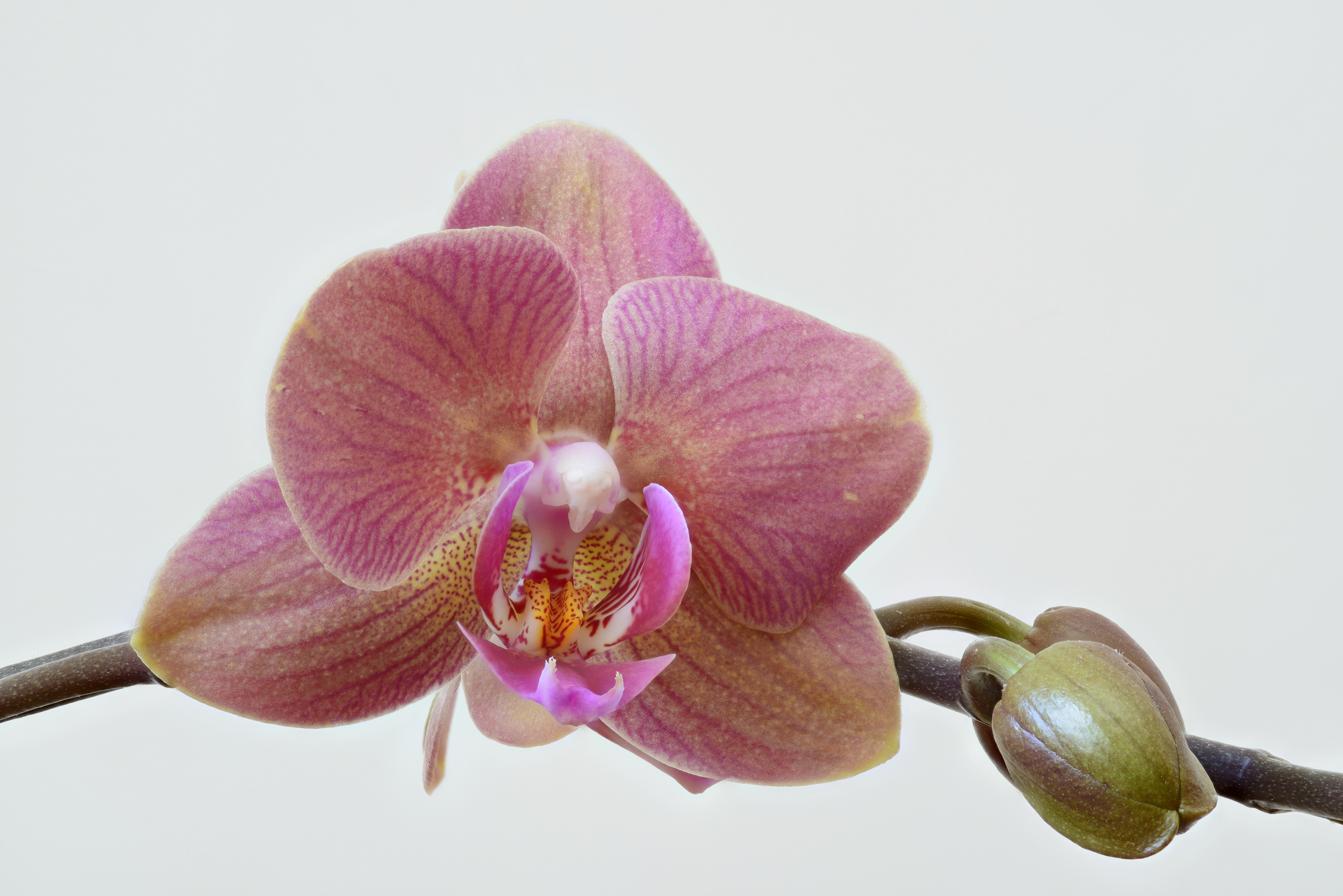
Orchids are plants that belong to the family Orchidaceae (), a diverse and widespread group of flowering plants with blooms that are often colourful and fragrant. Along with the Asteraceae, they are one of the two largest families of flowering plants. The Orchidaceae have about 28,000 currently accepted species, distributed in about 763 genera. (See ''External links'' below). The determination of which family is larger is still under debate, because verified data on the members of such enormous families are continually in flux. Regardless, the number of orchid species is nearly equal to the number of bony fishes, more than twice the number of bird species, and about four times the number of mammal species. The family encompasses about 6–11% of all species of seed plants. The largest genera are ''Bulbophyllum'' (2,000 species), ''Epidendrum'' (1,500 species), ''Dendrobium'' (1,400 species) and ''Pleurothallis'' (1,000 species). It also includes ''Vanilla'' (the genus of the ... [...More Info...] [...Related Items...] OR: [Wikipedia] [Google] [Baidu] |
Victoria (Australia)
Victoria is a state in southeastern Australia. It is the second-smallest state with a land area of , the second most populated state (after New South Wales) with a population of over 6.5 million, and the most densely populated state in Australia (28 per km2). Victoria is bordered by New South Wales to the north and South Australia to the west, and is bounded by the Bass Strait to the south (with the exception of a small land border with Tasmania located along Boundary Islet), the Great Australian Bight portion of the Southern Ocean to the southwest, and the Tasman Sea (a marginal sea of the South Pacific Ocean) to the southeast. The state encompasses a range of climates and geographical features from its temperate coastal and central regions to the Victorian Alps in the northeast and the semi-arid north-west. The majority of the Victorian population is concentrated in the central-south area surrounding Port Phillip Bay, and in particular within the metropolit ... [...More Info...] [...Related Items...] OR: [Wikipedia] [Google] [Baidu] |
Kairomone
A kairomone (a coinage using the Greek καιρός ''opportune moment'', paralleling pheromone"kairomone, n.". OED Online. September 2012. Oxford University Press. http://www.oed.com/view/Entry/241005?redirectedFrom=kairomone (accessed 3 October 2012).) is a semiochemical, emitted by an organism, which mediates interspecific interactions in a way that benefits an individual of another species which receives it and harms the emitter. This "eavesdropping" is often disadvantageous to the producer (though other benefits of producing the substance may outweigh this cost, hence its persistence over evolutionary time). The kairomone improves the fitness of the recipient and in this respect differs from an allomone (which is the opposite: it benefits the producer and harms the receiver) and a synomone (which benefits both parties). The term is mostly used in the field of entomology (the study of insects). Two main ecological cues are provided by kairomones; they generally either indicat ... [...More Info...] [...Related Items...] OR: [Wikipedia] [Google] [Baidu] |
Fungus Gnat
Fungus gnats are small, dark, short-lived gnats, of the families Sciaridae, Diadocidiidae, Ditomyiidae, Keroplatidae, Bolitophilidae, and Mycetophilidae (order Diptera); they comprise six of the seven families placed in the superfamily Sciaroidea. Description The larvae of most species feed on fungi growing on soil, helping in the decomposition of organic matter. However some species are predatory, including those in the genus ''Arachnocampa'' of family Keroplatidae – the "glowworms" of Australia and New Zealand. The adults are long, and are occasionally pollinators of plants and carriers of mushroom spores. They also may carry diseases such as pythium (which causes "damping-off" to kill seedlings) on their feet. Most fungus gnats are weak fliers, and can often be seen walking rapidly over plants and soil, rather than flying. However when airborne, the gnats may be quite annoying to humans by flying into their faces, eyes, and noses, both indoors and outdoors. These flies ... [...More Info...] [...Related Items...] OR: [Wikipedia] [Google] [Baidu] |
Castor Bay
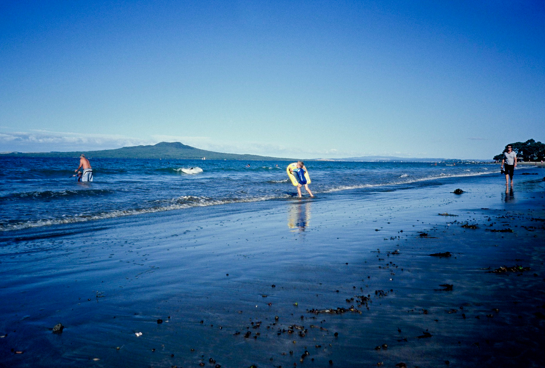
Castor Bay is a bay and suburb of the North Shore, located in Auckland which is in the North Island of New Zealand. Located between Milford and Campbells Bay, it is part of the East Coast Bays. To the east lies the islands of Rangitoto and Motutapu, which are easily visible from land. The suburb is in the North Shore ward, one of the thirteen administrative divisions of Auckland Council. The bay itself is quite small and is well sheltered by an artificial breakwater that extends from the northern edge of the bay, running towards the south. A small bark and grass area with several large pohutukawa trees offering shelter complements the beachfront and an extended coastline stretches out to the north towards Campbells Bay. History The northern headland of Castor Bay is the site of an old Maori pā, Rahopara, also known as Te Rahopara o Peretū. Archaeological studies of the pā indicate that it was used by many generations of Tāmaki Māori peoples, who adapted the pā overtime ... [...More Info...] [...Related Items...] OR: [Wikipedia] [Google] [Baidu] |
Kaitaia
Kaitaia ( mi, Kaitāia) is a town in the Far North District of New Zealand, at the base of the Aupouri Peninsula, about 160 km northwest of Whangārei. It is the last major settlement on New Zealand State Highway 1, State Highway 1. Ahipara, Ahipara Bay, the southern end of Ninety Mile Beach, New Zealand, Ninety Mile Beach, is 5 km west. The main industries are forestry and tourism. The population is as of which makes it the second-largest town in the Far North District, after Kerikeri. The name Kaitāia means ample food, kai being the Māori language, Māori word for food. The Muriwhenua are a group of six northern Māori people, Māori iwi occupying the northernmost part of the North Island surrounding Kaitaia. History and culture European settlement The Kaitaia Mission Station was established between 1833 and 1834 after a series of visits by Church Missionary Society (CMS) representatives including Samuel Marsden, and at different times, Joseph Matthews and Wi ... [...More Info...] [...Related Items...] OR: [Wikipedia] [Google] [Baidu] |
Vagrancy (biology)
Vagrancy is a phenomenon in biology whereby an individual animal (usually a bird) appears well outside its normal range (biology), range; they are known as vagrants. The term accidental is sometimes also used. There are a number of poorly understood factors which might cause an animal to become a vagrant, including internal causes such as navigatory errors (endogenous vagrancy) and external causes such as severe weather (exogenous vagrancy). Vagrancy events may lead to colonisation and eventually to speciation. Birds In the Northern Hemisphere, adult birds (possibly inexperienced younger adults) of many species are known to continue past their normal breeding range during their spring migration and end up in areas further north (such birds are termed spring overshoots). In autumn, some young birds, instead of heading to their usual wintering grounds, take "incorrect" courses and migrate through areas which are not on their normal migration path. For example, Siberian passeri ... [...More Info...] [...Related Items...] OR: [Wikipedia] [Google] [Baidu] |
New Zealand
New Zealand ( mi, Aotearoa ) is an island country in the southwestern Pacific Ocean. It consists of two main landmasses—the North Island () and the South Island ()—and over 700 smaller islands. It is the sixth-largest island country by area, covering . New Zealand is about east of Australia across the Tasman Sea and south of the islands of New Caledonia, Fiji, and Tonga. The country's varied topography and sharp mountain peaks, including the Southern Alps, owe much to tectonic uplift and volcanic eruptions. New Zealand's capital city is Wellington, and its most populous city is Auckland. The islands of New Zealand were the last large habitable land to be settled by humans. Between about 1280 and 1350, Polynesians began to settle in the islands and then developed a distinctive Māori culture. In 1642, the Dutch explorer Abel Tasman became the first European to sight and record New Zealand. In 1840, representatives of the United Kingdom and Māori chiefs ... [...More Info...] [...Related Items...] OR: [Wikipedia] [Google] [Baidu] |
Flinders Island
Flinders Island, the largest island in the Furneaux Group, is a island in the Bass Strait, northeast of the island of Tasmania. Flinders Island was the place where the last remnants of aboriginal Tasmanian population were exiled by the colonial British government. Today Flinders Island is part of the state of Tasmania, Australia. It is from Cape Portland and is located on 40° south, a zone known as the Roaring Forties. History Prehistory Flinders Island was first inhabited at least 35,000 years ago, when people made their way from Australia across the then land-bridge which is now Bass Strait. A population remained until about 4,500 years ago, succumbing to thirst and hunger following an acute El Niño climate shift. European discovery Some of the south-eastern islands of the Furneaux Group were first recorded in 1773 by British navigator Tobias Furneaux, commander of , the support vessel with James Cook on Cook's second voyage. In February 1798, British navigator Ma ... [...More Info...] [...Related Items...] OR: [Wikipedia] [Google] [Baidu] |
King Island (Tasmania)
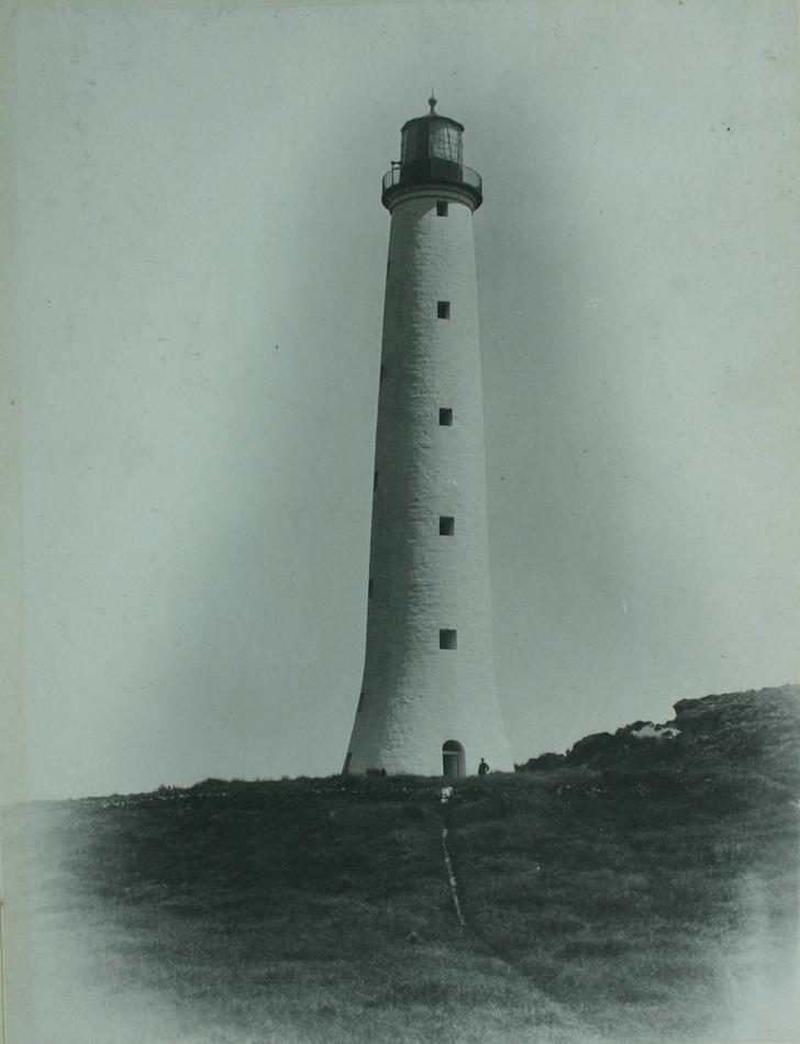
King Island is an island in the Bass Strait, belonging to the Australian state of Tasmania. It is the largest of three islands known as the New Year Group, and the second-largest island in Bass Strait (after Flinders Island). The island's population at the was 1,585 people, up from 1,566 in 2011. The local government area of the island is the King Island Council. The island forms part of the official land divide between the Great Australian Bight and Bass Strait, off the north-western tip of Tasmania and about halfway to the mainland state of Victoria. The southernmost point is Stokes Point and the northernmost point is Cape Wickham. There are three small islands immediately offshore: New Year Island and Christmas Island situated to the northwest, and a smaller island Councillor Island to the east, opposite Sea Elephant Beach. King Island was first visited by Europeans in the late 18th century. It was named after Philip Gidley King, Colonial Governor of New South Wales, who ... [...More Info...] [...Related Items...] OR: [Wikipedia] [Google] [Baidu] |
Atherton Tableland
The Atherton Tableland is a fertile plateau which is part of the Great Dividing Range in Queensland, Australia. The principal river flowing across the plateau is the Barron River. It was dammed to form an irrigation reservoir named Lake Tinaroo. Tinaroo Hydro, a small 1.6 MW hydroelectric power station, is located near the spillway. Physiography This area is a distinct physiographic section of the larger North Queensland Highlands province, which in turn is part of the larger East Australian Cordillera physiographic division. South of the Tablelands is the Bellenden Ker Range. Geological history About 100 million years ago, the eastern edge of the Australian continent extended much further to the east, before tectonic forces fractured the eastern margin, pulling it apart. At the same time, slowly rising mantle material caused a doming up of the continental crust. As the eastern part of the continent broke away, it gradually sank below sea level. Since that time, the up ... [...More Info...] [...Related Items...] OR: [Wikipedia] [Google] [Baidu] |


