|
Pointe De La Plaine Morte
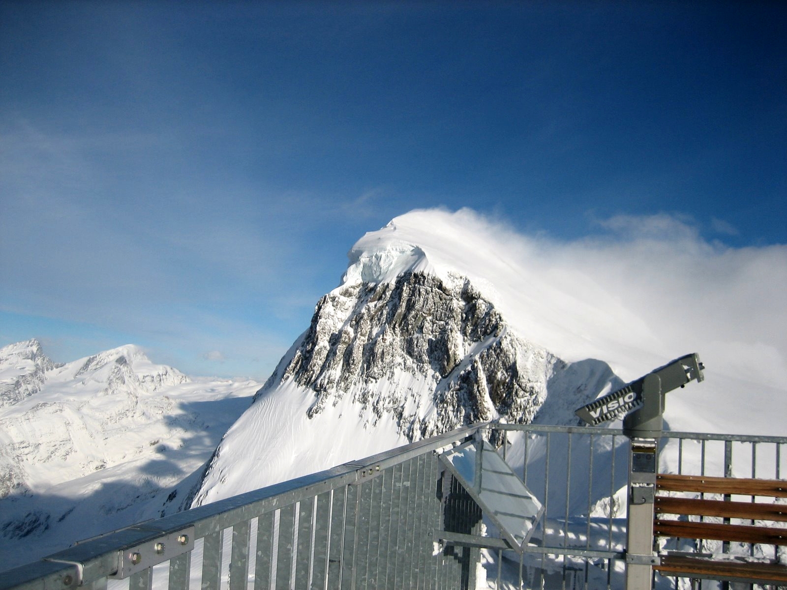
The Pointe de la Plaine Morte () is a mountain of the Bernese Alps, located on the border between the Swiss cantons of Bern and Valais. It overlooks the large and flat glacier named ''Plaine Morte Glacier'', from the south-west side. The Pointe de la Plaine Morte is part of the Crans-Montana ski area and can be easily accessed by a cable car via Les Violettes. The upper terminus is located east of the summit at a height of . Only a short walk is necessary to reach the summit. On the summit, there is a radar installation that has been operated by MeteoSwiss since 2014. meteosuisse.admin.ch. Retrieved on 9 February 2014< ... [...More Info...] [...Related Items...] OR: [Wikipedia] [Google] [Baidu] |
Swisstopo
Swisstopo is the official name for the Swiss Federal Office of Topography (in German language, German: ''Bundesamt für Landestopografie''; French language, French: ''Office fédéral de topographie''; Italian language, Italian: ''Ufficio federale di topografia''; Romansh language, Romansh: ''Uffizi federal da topografia''), Switzerland's national mapping agency. The current name was made official in 2002. It had been in use as the domain name for the institute's homepage, swisstopo.ch, since 1997. Maps The main class of products produced by Swisstopo are topographical maps on seven different Scale (map), scales. Swiss maps have been praised for their accuracy and quality. Regular maps * 1:25.000. This is the most detailed map, useful for many purposes. Those are popular with tourists, especially for famous areas like Zermatt and St. Moritz. These maps cost CHF 13.50 each (2004). 208 maps on this scale are published at regular intervals. The first map published on this scale ... [...More Info...] [...Related Items...] OR: [Wikipedia] [Google] [Baidu] |
Mont Blanc
Mont Blanc (french: Mont Blanc ; it, Monte Bianco , both meaning "white mountain") is the highest mountain in the Alps and Western Europe, rising above sea level. It is the second-most prominent mountain in Europe, after Mount Elbrus, and it is the eleventh most prominent mountain summit in the world. It gives its name to the Mont Blanc massif which straddles parts of France, Italy and Switzerland. Mont Blanc's summit lies on the watershed line between the valleys of Ferret and Veny in Italy, and the valleys of Montjoie, and Arve in France. Ownership of the summit area has long been a subject of dispute between France and Italy. The Mont Blanc massif is popular for outdoor activities like hiking, climbing, trail running and winter sports like skiing, and snowboarding. The most popular climbing route to the summit of Mont Blanc is the Goûter Route, which typically takes two days. The three towns and their communes which surround Mont Blanc are Courmayeur in Aosta Valle ... [...More Info...] [...Related Items...] OR: [Wikipedia] [Google] [Baidu] |
Mountains Of The Canton Of Bern
A mountain is an elevated portion of the Earth's crust, generally with steep sides that show significant exposed bedrock. Although definitions vary, a mountain may differ from a plateau in having a limited summit area, and is usually higher than a hill, typically rising at least 300 metres (1,000 feet) above the surrounding land. A few mountains are isolated summits, but most occur in mountain ranges. Mountains are formed through tectonic forces, erosion, or volcanism, which act on time scales of up to tens of millions of years. Once mountain building ceases, mountains are slowly leveled through the action of weathering, through slumping and other forms of mass wasting, as well as through erosion by rivers and glaciers. High elevations on mountains produce colder climates than at sea level at similar latitude. These colder climates strongly affect the ecosystems of mountains: different elevations have different plants and animals. Because of the less hospitable terrain an ... [...More Info...] [...Related Items...] OR: [Wikipedia] [Google] [Baidu] |
Mountains Of Valais
A mountain is an elevated portion of the Earth's crust, generally with steep sides that show significant exposed bedrock. Although definitions vary, a mountain may differ from a plateau in having a limited summit area, and is usually higher than a hill, typically rising at least 300 metres (1,000 feet) above the surrounding land. A few mountains are isolated summits, but most occur in mountain ranges. Mountains are formed through tectonic forces, erosion, or volcanism, which act on time scales of up to tens of millions of years. Once mountain building ceases, mountains are slowly leveled through the action of weathering, through slumping and other forms of mass wasting, as well as through erosion by rivers and glaciers. High elevations on mountains produce colder climates than at sea level at similar latitude. These colder climates strongly affect the ecosystems of mountains: different elevations have different plants and animals. Because of the less hospitable terrain and ... [...More Info...] [...Related Items...] OR: [Wikipedia] [Google] [Baidu] |
Mountains Of The Alps
This page tabulates only the most prominent mountains of the Alps, selected for having a topographic prominence of ''at least'' , and all of them exceeding in height. Although the list contains 537 summits, some significant alpine mountains are necessarily excluded for failing to meet the stringent prominence criterion. The list of these most prominent mountains is continued down to 2500 m elevation at List of prominent mountains of the Alps (2500–2999 m) and down to 2000 m elevation on List of prominent mountains of the Alps (2000–2499 m). All such mountains are located in either France, Italy, Switzerland, Liechtenstein, Austria, Germany or Slovenia, even in some lower regions. Together, these three lists include all 44 ultra-prominent peaks of the Alps, with 19 ultras over 3000m on this page. For a definitive list of all 82 the highest peaks of the Alps, as identified by the International Climbing and Mountaineering Federation (UIAA), and often referred to as the 'Alpi ... [...More Info...] [...Related Items...] OR: [Wikipedia] [Google] [Baidu] |
List Of Mountains Of Switzerland Accessible By Public Transport
This is a list of mountains of Switzerland above 800 metres whose summits are accessible by public transport. This list includes mountains with a topographic prominence of at least 30 metres that have a station above the height of their key col and within 120 metres (height difference) from the summit. The station can be reached by cable car, funicular, railway or bus. This list notably includes the Klein Matterhorn and the Säntis, respectively the highest and the most prominentInformation retrieved on 5 March 2014 froCore Europe 50 Most Prominent Peaks (peakbagger.com)an/ref> peaks of Europe with public transport access. It also includes the Chasseral, the most isolated summit of the country accessible to pedestrians. This list does not include ski lifts. For a list of ski areas, see List of ski areas and resorts in Switzerland. For a general list of mountains, see List of mountains of Switzerland. List See also *List of aerial tramways in Switzerland *List of funiculars ... [...More Info...] [...Related Items...] OR: [Wikipedia] [Google] [Baidu] |
Grandes Jorasses
The Grandes Jorasses (4,208 m; 13,806 ft) is a mountain in the Mont Blanc massif, on the boundary between Haute-Savoie in France and Aosta Valley in Italy. The first ascent of the highest peak of the mountain (''Pointe Walker'') was by Horace Walker with guides Melchior Anderegg, Johann Jaun and Julien Grange on 30 June 1868. The second-highest peak on the mountain (''Pointe Whymper'', 4,184 m; 13,727 ft) was first climbed by Edward Whymper, Christian Almer, Michel Croz and Franz Biner on 24 June 1865, using what has become the normal route of ascent and the one followed by Walker's party in 1868. The summits on the mountain (from east to west) are: * ''Pointe Walker'' (4,208 m; 13,806 ft) – named after Horace Walker, who made the first ascent of the mountain * ''Pointe Whymper'' (4,184 m; 13,727 ft) – named after Edward Whymper, who made the first ascent of this, the second-highest summit * ''Pointe Croz'' (4,110 m; 13,484 ft) – named ... [...More Info...] [...Related Items...] OR: [Wikipedia] [Google] [Baidu] |
MeteoSwiss
MeteoSwiss (german: MeteoSchweiz, french: MétéoSuisse, it, MeteoSvizzera), officially the Federal Office of Meteorology and Climatology, is an office of the federal administration of Switzerland. It employs 290 people at locations in Zurich, Zurich Airport, Geneva, Locarno and Payerne. History Originally established as the Central Meteorological Institute (MZA), by 1863 it operated 88 weather stations. Its name was changed in 1979 to ''Swiss Meteorological Institute'' (SMA). Since 1996, it has been operating as MeteoSwiss. Since 2006, its official name is "Federal Office of Meteorology and Climatology MeteoSwiss". Function The office observes the weather around the clock, creating weather forecasts and alerting authorities and population, when strong winds, heavy rainfall, storms or heat waves are forecast. In addition, it provides weather services for the civil, military and private aviation. The office also carries out a program of research and development to understand ... [...More Info...] [...Related Items...] OR: [Wikipedia] [Google] [Baidu] |
Google Earth
Google Earth is a computer program that renders a 3D computer graphics, 3D representation of Earth based primarily on satellite imagery. The program maps the Earth by superimposition, superimposing satellite images, aerial photography, and geographic information system, GIS data onto a 3D globe, allowing users to see cities and landscapes from various angles. Users can explore the globe by entering addresses and coordinates, or by using a Computer keyboard, keyboard or computer mouse, mouse. The program can also be downloaded on a smartphone or Tablet computer, tablet, using a touch screen or stylus to navigate. Users may use the program to add their own data using Keyhole Markup Language and upload them through various sources, such as forums or blogs. Google Earth is able to show various kinds of images overlaid on the surface of the earth and is also a Web Map Service client. In 2019, Google has revealed that Google Earth now covers more than 97 percent of the world, and has c ... [...More Info...] [...Related Items...] OR: [Wikipedia] [Google] [Baidu] |
Crans-Montana
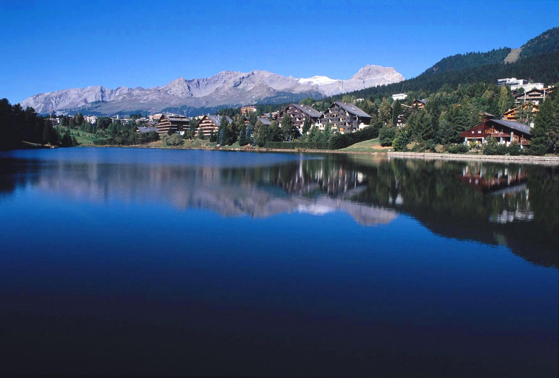
Crans-Montana is a municipality in the district of Sierre in the canton of Valais, Switzerland. On 1 January 2017 the former municipalities of Chermignon, Mollens, Montana and Randogne merged to form the new municipality of Crans-Montana. Crans-Montana is also a ski resort that was created through the fusion of the two centers of Crans and Montana and belonged to six municipalities (Chermignon, Icogne, Lens, Mollens, Montana and Randogne), four of which merged to form the municipality of Crans-Montana. History Chermignon Chermignon is first mentioned in 1228 as ''Chermenon'' and ''Chirminon''. It became an independent municipality in 1905 when it separated from Lens.Amtliches Gemeindeverzeichnis der Schweiz published by the Swiss Federal Statistical Office ac ... [...More Info...] [...Related Items...] OR: [Wikipedia] [Google] [Baidu] |
Plaine Morte Glacier
(its largest tongue: german: Rezligletscher) , photo = Plaine Morte.jpg , photo_caption = Wildstrubel and glacier , type = horizontal ice field , location = Lenk, BE (Crans-Montana, VS), Switzerland , coords = , area = (1973) , length = (2016) , thickness = , elevation_max = , elevation_min = , terminus = Trüebbach (Rhine), La Tièche (Rhône) , status = diminishing The Plaine Morte Glacier (lit.: Dead Plain Glacier; french: glacier de la Plaine Morte) is a glacier located at an elevation of , in the canton of Bern above Lenk and in the Valais above Crans-Montana in Switzerland. The ice field, which covers , is located below the mountain of Wildstrubel in the Bernese Alps. Its largest tongue is also called in German ''Rezligletscher'' or ''Rätzligletscher''. The area of ''Plaine Morte'' is easily accessible from Crans-Montana by cable car and the practice of cross-country skiing is possible throughout the yea ... [...More Info...] [...Related Items...] OR: [Wikipedia] [Google] [Baidu] |


