|
Plan Of Cuernavaca
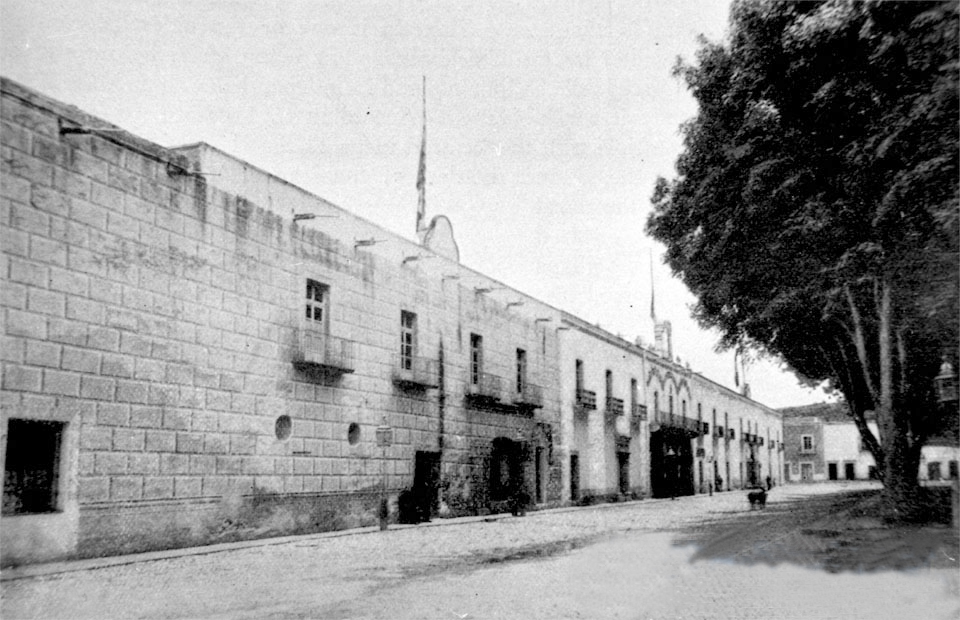
The Plan of Cuernavaca (Spanish: ''Plan de Cuernavaca'') was a declaration made in Cuernavaca, Mexico on 25 May 1834 in opposition to reform measures by the liberal administration of Vice President Valentín Gómez Farías. Presumably the declaration was orchestrated by President Antonio López de Santa Anna in agreement with the high clergy. After the triumph of the Plan of Cuernavaca, all laws enacted by the progressives during ten months in office were repealed, the Pontifical and National University of Mexico was reopened, Congress was dissolved and the officials who implemented the reform measures were dismissed. Santa Anna's first dictatorship began. A year later, the conservative faction of the Congress approved the basis for the new constitution that gave rise to the centralist regime in Mexico. Background In March 1833, Antonio López de Santa Anna was elected for the first time as President and Valentín Gómez Farías as Vice-President of Mexico. They alternated leadersh ... [...More Info...] [...Related Items...] OR: [Wikipedia] [Google] [Baidu] |
Cuernavaca
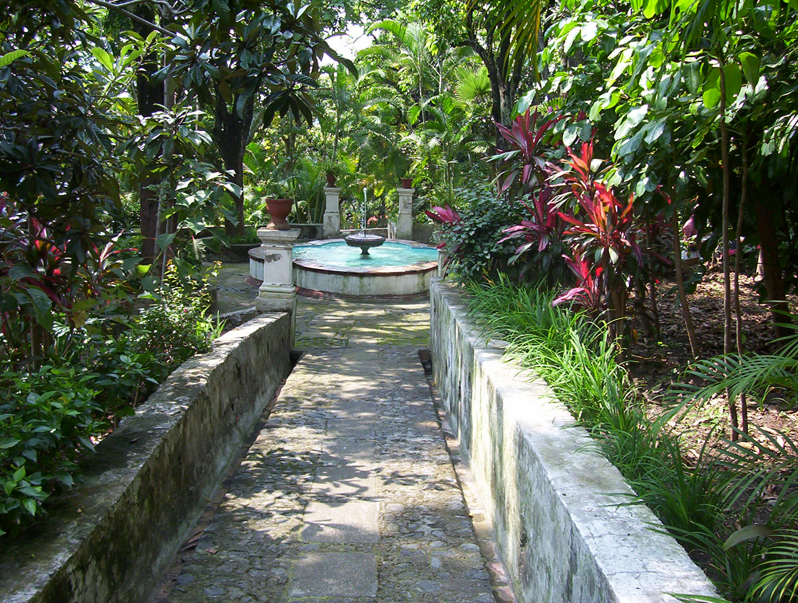
Cuernavaca (; nci-IPA, Cuauhnāhuac, kʷawˈnaːwak "near the woods", ) is the capital and largest city of the state of Morelos in Mexico. The city is located around a 90-minute drive south of Mexico City using the Federal Highway 95D. The name ''Cuernavaca'' is a euphonism derived from the Nahuatl toponym and means 'surrounded by or close to trees'. The name was Hispanicized to ''Cuernavaca''; Hernán Cortés called it ''Coadnabaced'' in his letters to Charles V, Holy Roman Emperor, and Bernal Díaz del Castillo used the name ''Cuautlavaca'' in his chronicles. The coat-of-arms of the municipality is based on the pre-Columbian pictograph emblem of the city which depicts a tree trunk () with three branches, with foliage, and four roots colored red. There is a cut in the trunk in the form of a mouth, from which emerges a speech scroll, probably representing the language Nahuatl and by extension the locative suffix , meaning 'near'. Cuernavaca has long been a favorite escape fo ... [...More Info...] [...Related Items...] OR: [Wikipedia] [Google] [Baidu] |
Luis García Guillén
Luis is a given name. It is the Spanish form of the originally Germanic name or . Other Iberian Romance languages have comparable forms: (with an accent mark on the i) in Portuguese and Galician, in Aragonese and Catalan, while is archaic in Portugal, but common in Brazil. Origins The Germanic name (and its variants) is usually said to be composed of the words for "fame" () and "warrior" () and hence may be translated to ''famous warrior'' or "famous in battle". According to Dutch onomatologists however, it is more likely that the first stem was , meaning fame, which would give the meaning 'warrior for the gods' (or: 'warrior who captured stability') for the full name.J. van der Schaar, ''Woordenboek van voornamen'' (Prisma Voornamenboek), 4e druk 1990; see also thLodewijs in the Dutch given names database Modern forms of the name are the German name Ludwig and the Dutch form Lodewijk. and the other Iberian forms more closely resemble the French name Louis, a derivati ... [...More Info...] [...Related Items...] OR: [Wikipedia] [Google] [Baidu] |
Palmar De Bravo
Palmar de Bravo (municipality) is a town and municipality in the Mexican state of Puebla in south-eastern Mexico Mexico (Spanish: México), officially the United Mexican States, is a country in the southern portion of North America. It is bordered to the north by the United States; to the south and west by the Pacific Ocean; to the southeast by Guatema .... References Municipalities of Puebla {{Puebla-geo-stub ... [...More Info...] [...Related Items...] OR: [Wikipedia] [Google] [Baidu] |
Mazatepec, Morelos
Mazatepec is a city in the Mexican state of Morelos. . The city serves as the municipal seat for the surrounding municipality of the same name. The name Mazatepec means ''hill of deer''. To the north and northeast is Miacatlán, to the northwest is Coatlán del Río, to the south is Amacuzac, to the east is Puente de Ixtla, and to the west is Tetecala. The municipality reported 9,967 inhabitants in the 2015 census. History Mazatepec is a town located in Morelos. The name Mazatepec comes from the Nahuatl mazatl "''deer''", and tepetl "''hill''". Mazatepec became part of the political and religious cultural center of Xochicalco, which was occupied since the Preclassic (1500-1000 BC) but its greatest development and boom occurred in the Classic, between AD 300 and 900. In the year AD 603, a group of Toltecs settled there. Later, Mazatepec came under the power of the manor of ''Cuauhnahuac'' (Cuernavaca), which in turn was a tributary of the Aztecs. During the colonial era, Mazat ... [...More Info...] [...Related Items...] OR: [Wikipedia] [Google] [Baidu] |
Tlaxcala, Tlaxcala
Tlaxcala, officially Tlaxcala de Xicohténcatl (), is the capital city of the Mexican state of Tlaxcala and seat of the municipality of the same name. The city did not exist during the pre-Hispanic period but was laid out by the Spanish as a center of evangelization and governance after the Spanish conquest of the Aztec Empire. The city was designated as a diocese but eventually lost that status to Puebla as its population declined. The city still has many of its old colonial structures, including the former Franciscan monastery, and newer civic structures like the Xicohtencatl Theatre. History The name Tlaxcala most likely comes from a Nahuatl phrase which means “place of corn bread.” The Aztec glyph for the Mesoamerican dominion is two hills from which emerge a pair of hands making a tortilla. The site of the modern city did not have a settlement for most of the pre Hispanic era. The area was ruled by a coalition of four dominions called Tepeticpac, Ocotelolco, Tizatlan a ... [...More Info...] [...Related Items...] OR: [Wikipedia] [Google] [Baidu] |
José María Tornel
José María de Tornel y Mendívil (1795–1853) was a 19th-century Mexican army general and politician who greatly influenced the career of President Antonio López de Santa Anna. Birth José Maria Tornel y Mendívil was born March 1, 1795 in the town of Orizaba, Veracruz, New Spain to Julian Tornel, a prominent shopkeeper, and Manuela Jacinta Bernarda Mendívil Vidal. Career Tornel was prominent among the "santanista," a group of politicians and officials who helped Santa Anna return to power frequently, despite defeats in the 1836 Texas Revolution and the 1846–48 Mexican–American War. Tornel advocated a federalist agenda in the 1820s. During that time, Tornel y Mendivil became Mexico's first president Guadalupe Victoria's right arm. Victoria named Tornel the Mexican ambassador to the United States in 1830. His mission was to inform Victoria on Americans' ambitions to take Texas. He was a bitter enemy of American policies. He complained to the Jackson administration a ... [...More Info...] [...Related Items...] OR: [Wikipedia] [Google] [Baidu] |
Masonic Lodges
A Masonic lodge, often termed a private lodge or constituent lodge, is the basic organisational unit of Freemasonry. It is also commonly used as a term for a building in which such a unit meets. Every new lodge must be warranted or chartered by a Grand Lodge, but is subject to its direction only in enforcing the published constitution of the jurisdiction. By exception the three surviving lodges that formed the world's first known grand lodge in London (now merged into the United Grand Lodge of England) have the unique privilege to operate as ''time immemorial'', i.e., without such warrant; only one other lodge operates without a warrant – the Grand Stewards' Lodge in London, although it is not also entitled to the "time immemorial" title. A Freemason is generally entitled to visit any lodge in any jurisdiction (i.e., under any Grand Lodge) in amity with his own. In some jurisdictions this privilege is restricted to Master Masons (that is, Freemasons who have attained the ... [...More Info...] [...Related Items...] OR: [Wikipedia] [Google] [Baidu] |
Oaxaca
Oaxaca ( , also , , from nci, Huāxyacac ), officially the Free and Sovereign State of Oaxaca ( es, Estado Libre y Soberano de Oaxaca), is one of the 32 states that compose the political divisions of Mexico, Federative Entities of Mexico. It is divided into municipalities of Oaxaca, 570 municipalities, of which 418 (almost three quarters) are governed by the system of (customs and traditions) with recognized local forms of self-governance. Its capital city is Oaxaca de Juárez. Oaxaca is in southwestern Mexico. It is bordered by the states of Guerrero to the west, Puebla to the northwest, Veracruz to the north, and Chiapas to the east. To the south, Oaxaca has a significant coastline on the Pacific Ocean. The state is best known for #Indigenous peoples, its indigenous peoples and cultures. The most numerous and best known are the Zapotec peoples, Zapotecs and the Mixtecs, but there are sixteen that are officially recognized. These cultures have survived better than most others ... [...More Info...] [...Related Items...] OR: [Wikipedia] [Google] [Baidu] |
Coatepec, Veracruz
The municipality of Coatepec () is found in the central region of the Mexican state of Veracruz. Its north latitude is 19° 27′, west longitude is 96° 58′, altitude of , and surface of . It represents the 0.338% of the current state. The municipal seat and largest community of the municipality is also called Coatepec. The Mexican census of 2005 reported a population of 49,608 in the city, while the municipality had 79,787 inhabitants. The municipality also includes many smaller communities within its boundaries. The largest of these are Tuzamapan, Pacho Viejo, and Mahuixtlán. Details Coatepec borders the municipalities of Xalapa and Tlalnelhuayocan (north); Teocelo and Jalcomulco (south); Emiliano Zapata (east); and Xico and Teocelo (west). Often called ''The Coffee Capital of Mexico'', the name Coatepec comes from the Nahuatl ''coatl'' (serpent), and ''tepetl'' (hill), or "The Hill of the Snakes". This municipality has four small rivers: the Pixquiac, the Pintores, ... [...More Info...] [...Related Items...] OR: [Wikipedia] [Google] [Baidu] |
Xalapa
Xalapa or Jalapa (, ), officially Xalapa-Enríquez (), is the capital city of the Mexican state of Veracruz and the name of the surrounding municipality. In the 2005 census the city reported a population of 387,879 and the municipality of which it serves as municipal seat reported a population of 413,136. The municipality has an area of 118.45 km2. Xalapa lies near the geographic center of the state and is the second-largest city in the state after the city of Veracruz to the southeast. Etymology The name ''Xalapa'' comes from the Classical Nahuatl roots (, 'sand') and (, 'place of water'), which means approximately 'spring in the sand'. It's classically pronounced in Nahuatl, although the final /n/ is often omitted. This was adopted into Spanish as ''Xalapa''. The complete name of the city is ''Xalapa-Enríquez'', bestowed in honor of a governor from the 19th century, Juan de la Luz Enríquez. The city's nickname, "City of Flowers" ( es, La ciudad de las flores), was ... [...More Info...] [...Related Items...] OR: [Wikipedia] [Google] [Baidu] |
Orizaba
Orizaba () is a city and municipality in the Mexican state of Veracruz. It is located 20 km west of its sister city Córdoba, and is adjacent to Río Blanco and Ixtaczoquitlán, on Federal Highways 180 and 190. The city had a 2005 census population of 117,273 and is almost coextensive with its small municipality, with only a few small areas outside the city. The municipality's population was 117,289 and it has an area of 27.97 km2 (10.799 sq mi). Naming It is generally understood that the name ''Orizaba'' comes from a Hispanicized pronunciation of the Nahuatl name ''Āhuilizāpan'' 'a: wi li sa: pan'' which means "place of pleasing waters." Another possibility, however, is the word Harish (Jerez de la Frontera, Andalusia, in 16th-century Spanish pronunciation), this place being the hometown of the first Spanish settlers (1521) of Orizaba. Harish or—in a simplified form—Ariz, with the addition (under the influence of the Arabic language) of the gentilic "i" and/or ... [...More Info...] [...Related Items...] OR: [Wikipedia] [Google] [Baidu] |


