|
Ovča
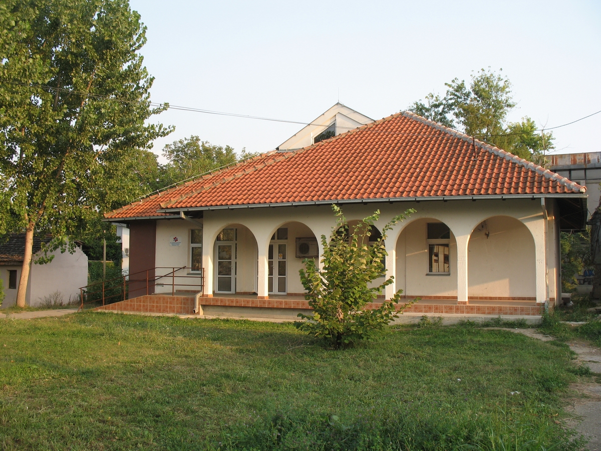
Ovča ( sr-Cyrl, Овча, ; ro, Ofcea or ) is a suburban settlement of Belgrade, the capital of Serbia. It is located to the northeast of the city, in the municipality of Palilula. Name In Serbian the settlement is known as ''Ovča'' (Овча), in Romanian as ''Ofcea'' or ''Ovcea'', in Hungarian as ''Ovcsa'' or ''Bárányos'', and in German as ''Gisellenhain''. Location Ovča is located in the northern Banat section of the Palilula municipality (Pančevački Rit), 13 kilometers north of downtown Belgrade. The settlement is located 6 kilometers to the east of the settlement of Padinska Skela and the ''Zrenjaninski put'' road connects Belgrade with the city of Zrenjanin, in Vojvodina. History First recorded mention of the village of ''Ovči'' is from 1456, as part of the Syrmia county of the Kingdom of Hungary. The name has a Slavic origin. As some of the first settlers were Romanian shepherds, it is believed that this gave name to the settlement (Serbian word ''ovč ... [...More Info...] [...Related Items...] OR: [Wikipedia] [Google] [Baidu] |
Palilula, Belgrade
Palilula (Serbian Cyrillic: Палилула, ) is a municipality of the city of Belgrade. It has the largest area of all municipalities of Belgrade. The core of Palilula is close to the center of the city, but the municipality also includes sparsely populated land left of the Danube. Neighborhood Location Palilula is located east of Terazije in downtown Belgrade. Like most of Belgrade's neighborhoods it has no firm boundaries and is roughly bordered by the '' Ruzveltova street'' and the municipality and neighborhood of Zvezdara on the east, the neighborhood of Hadžipopovac in its own municipality on the north, the neighborhood and municipality of Stari Grad and Jevremovac on the northwest (Jevremovac actually belongs to the neighborhood of Palilula, but administratively is part of Stari Grad), and the Tašmajdan and ''Bulevar kralja Aleksandra'' on the south, bordering the municipality of Vračar. Population Six local communities, sub-municipal administrative units, ... [...More Info...] [...Related Items...] OR: [Wikipedia] [Google] [Baidu] |
Borča
Borča ( sr-cyr, Борча, ) is an urban settlement of the municipality of Palilula, Belgrade, Serbia. , it has a population of 46,086 inhabitants. Location Borča is located just north of the downtown Belgrade, in the Banat section of the municipality of Palilula, at an altitude of . It stretches between the ''Zrenjaninski put'' road (which connects Belgrade to the town of Zrenjanin in Vojvodina) and the slow streams of Pretok, Sebeš and Vizelj, which flows through the middle of the marshy area of Pančevački Rit, the northern part of the municipality of Palilula. As Borča developed, it stretched along the ''Zrenjaninski put'' to the south (Krnjača's neighborhood of Dunavski Venac) and to the north (suburban settlement of Padinska Skela). History Early history Earliest remains in the vicinity of modern settlement of Borča are from the Bronze and Iron Age, but the medallions, figurines and coins from the 3rd and 4th century BC are also found. Because of the marshy ... [...More Info...] [...Related Items...] OR: [Wikipedia] [Google] [Baidu] |
Belgrade
Belgrade ( , ;, ; Names of European cities in different languages: B, names in other languages) is the Capital city, capital and List of cities in Serbia, largest city in Serbia. It is located at the confluence of the Sava and Danube rivers and the crossroads of the Pannonian Basin, Pannonian Plain and the Balkan Peninsula. Nearly 1,166,763 million people live within the administrative limits of the City of Belgrade. It is the third largest of all List of cities and towns on Danube river, cities on the Danube river. Belgrade is one of the List of oldest continuously inhabited cities, oldest continuously inhabited cities in Europe and the world. One of the most important prehistoric cultures of Europe, the Vinča culture, evolved within the Belgrade area in the 6th millennium BC. In antiquity, Thracians, Thraco-Dacians inhabited the region and, after 279 BC, Celts settled the city, naming it ''Singidunum, Singidūn''. It was Roman Serbia, conquered by the Romans under the reign ... [...More Info...] [...Related Items...] OR: [Wikipedia] [Google] [Baidu] |
Pančevački Rit
Pančevački Rit ( sr-cyr, Панчевачки рит) is a small geographical area in south-western Banat, Serbia. It is situated between the rivers Danube and Tamiš, in Belgrade's municipality of Palilula. Features Its wetland was constantly flooded, but since World War II it has been drained part by part and almost half of it has been turned into a very fertile patch of land, suitable especially for cultivating grains and vegetables. It is managed by Serbia's largest agricultural company, " PKB Beograd", which almost exclusively provides food for 2 million people in the greater Belgrade area; thus Pančevački Rit is commonly nicknamed Granary of Belgrade. Stockbreeding is also very intensive, as are fishery and hunting. Many meandering canals and bogs have remained in the marsh: the slow streams of Vizelj, Dunavac, Sibnica, Butuš, Rogoznica, Buk, Belanoš and Sebeš, and large bogs of Reva, Veliko Blato (), Sebeš and Široka Bara. In the south, the area ends with ... [...More Info...] [...Related Items...] OR: [Wikipedia] [Google] [Baidu] |
List Of Belgrade Neighborhoods
Belgrade, the capital city of Serbia, is divided into seventeen municipalities, of which ten are urban and seven suburban. In this list, each neighbourhood or suburb is categorised by the municipality in which it is situated. Six of these ten urban municipalities are completely within the bounds of Belgrade City Proper, while the remaining four have both urban and suburban parts. The seven suburban municipalities, on the other hand, are completely located within suburban bounds. Municipalities of the City of Belgrade are officially divided into local communities ( Serbian: месна заједница / ''mesna zajednica''). These are arbitrary administrative units which on occasion correspond to the neighbourhoods and suburbs located in a municipality, though usually they don't. Their boundaries often change as the communities merge with each other, split from one another, or change names, so the historical and traditional names of the neighbourhoods survive. In the majorit ... [...More Info...] [...Related Items...] OR: [Wikipedia] [Google] [Baidu] |
List Of Belgrade Neighbourhoods And Suburbs
Belgrade, the capital city of Serbia, is divided into seventeen municipalities, of which ten are urban and seven suburban. In this list, each neighbourhood or suburb is categorised by the municipality in which it is situated. Six of these ten urban municipalities are completely within the bounds of Belgrade City Proper, while the remaining four have both urban and suburban parts. The seven suburban municipalities, on the other hand, are completely located within suburban bounds. Municipalities of the City of Belgrade are officially divided into local communities ( Serbian: месна заједница / ''mesna zajednica''). These are arbitrary administrative units which on occasion correspond to the neighbourhoods and suburbs located in a municipality, though usually they don't. Their boundaries often change as the communities merge with each other, split from one another, or change names, so the historical and traditional names of the neighbourhoods survive. In the majority ... [...More Info...] [...Related Items...] OR: [Wikipedia] [Google] [Baidu] |
Krnjača
Krnjača ( sr-cyr, Крњача, ) is an urban neighborhood of Belgrade, the capital of Serbia. It is located in Belgrade's municipality of Palilula. Location and population Krnjača is located on the left bank of the Danube, across the Belgrade proper, to which it is connected only by one bridge, the Pančevo Bridge. The settlement is built behind the long embankment along the Danube, but it is still often flooded by the river. Krnjača is much scattered and stretched along two major roads in this area, the ''Pančevački put'' which connects Belgrade to the city of Pančevo and ''Zrenjaninski put'' which connects Belgrade to the city of Zrenjanin. Krnjača is bordered by the Danube to the south, the ''Jojkićev Dunavac'' canal to the west and the '' Mokri Sebeš'' canal and the Veliko Blato bog to the north and east. The ''Kalovita'' canal flows through the middle of the neighborhood. Through Dunavski Venac, Krnjača makes an urban connection to Borča on the north and thro ... [...More Info...] [...Related Items...] OR: [Wikipedia] [Google] [Baidu] |
Syrmia (former County)
Syrmia County ( hr, Srijemska županija, sr, Сремска жупанија, hu, Szerém vármegye, german: Komitat Syrmien) was a historic administrative subdivision (''županija'') of the Kingdom of Croatia-Slavonia. Croatia-Slavonia was an autonomous kingdom within the Lands of the Crown of Saint Stephen (Transleithania), the Hungarian part of Austria-Hungary. The region of Syrmia is today split between Croatia and Serbia. The capital of the county was Vukovar ( hu, Vukovár). Geography Syrmia County shared borders with other Croatian-Slavonian counties of Požega and Virovitica, the Austro-Hungarian land of Bosnia and Herzegovina, the Kingdom of Serbia, and the Hungarian counties of Bács-Bodrog and Torontál. The County stretched along the right (southern) bank of the river Danube and the left (northern) bank of the river Sava, down to their confluence. Its area was 6,866 km² around 1910. Background By the 13th century, two counties were formed in this r ... [...More Info...] [...Related Items...] OR: [Wikipedia] [Google] [Baidu] |
Serbia
Serbia (, ; Serbian language, Serbian: , , ), officially the Republic of Serbia (Serbian language, Serbian: , , ), is a landlocked country in Southeast Europe, Southeastern and Central Europe, situated at the crossroads of the Pannonian Basin and the Balkans. It shares land borders with Hungary to the north, Romania to the northeast, Bulgaria to the southeast, North Macedonia to the south, Croatia and Bosnia and Herzegovina to the west, and Montenegro to the southwest, and claims a border with Albania through the Political status of Kosovo, disputed territory of Kosovo. Serbia without Kosovo has about 6.7 million inhabitants, about 8.4 million if Kosvo is included. Its capital Belgrade is also the List of cities in Serbia, largest city. Continuously inhabited since the Paleolithic Age, the territory of modern-day Serbia faced Slavs#Migrations, Slavic migrations in the 6th century, establishing several regional Principality of Serbia (early medieval), states in the early Mid ... [...More Info...] [...Related Items...] OR: [Wikipedia] [Google] [Baidu] |
Dorćol
Dorćol ( sr-cyr, Дорћол; ) is an affluent urban neighborhood of Belgrade, the capital of Serbia. It is located in Belgrade's municipality of Stari Grad. Located along the right bank of the Danube, Dorćol is oldest surviving neighborhood in Belgrade. It is known for its specific urban charm and the mentality of its residents. The neighborhood has experienced artistic revival since the 2000s concurrently with the Savamala neighborhood on the opposite, Sava, bank. After being featured in numerous reports, including by the BBC and ''The Guardian'', '' Time Out'' magazine placed Dorćol on their list of "50 coolest neighborhoods". It has been described as a Belgrade "phenomenon", an "exciting, creative and inventive spot", and the "authentic, organic soul of the city". A section of Upper Dorćol was declared a spatial cultural-historical unit in 1989, and placed under protection as the "Area surrounding Dositej's Lyceum". Location Dorćol begins already some 700 meters ... [...More Info...] [...Related Items...] OR: [Wikipedia] [Google] [Baidu] |
Imaret
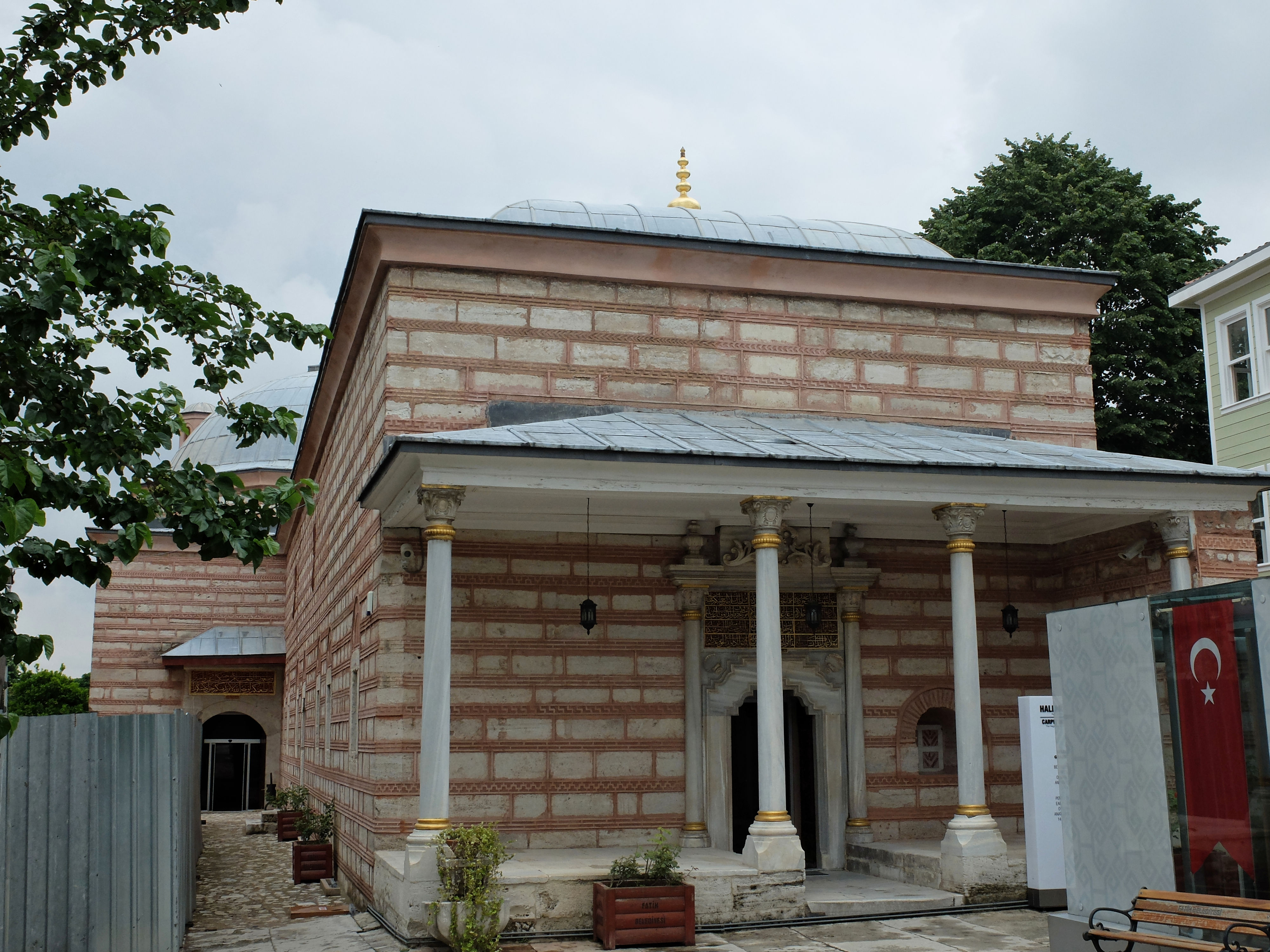
Imaret, sometimes also known as a ''darüzziyafe'', is one of a few names used to identify the public soup kitchens built throughout the Ottoman Empire from the 14th to the 19th centuries. These public kitchens were often part of a larger complex known as a ''külliye'', which could include hospices, mosques, caravanserais and colleges. The imarets gave out food that was free of charge to specific types of people and unfortunate individuals. Imarets were not invented by the Ottomans but developed under them as highly structured groups of buildings. Nonetheless, imarets indicate an appreciation of Muslim religious teachings about charity found in the Qur'an. History A ''Waqf'' is an "Islamic trust" that had important associations to the imaret within the Ottoman Empire. The ''Waqf'' helped the Sultan to provide essential services to citizens. It dealt with the operation and finances of institutions such as the soup kitchens and hospitals. Doğan Kuban notes that in early Ottoman ... [...More Info...] [...Related Items...] OR: [Wikipedia] [Google] [Baidu] |
Mosque
A mosque (; from ar, مَسْجِد, masjid, ; literally "place of ritual prostration"), also called masjid, is a place of prayer for Muslims. Mosques are usually covered buildings, but can be any place where prayers ( sujud) are performed, including outdoor courtyards. The first mosques were simple places of prayer for Muslims, and may have been open spaces rather than buildings. In the first stage of Islamic architecture, 650-750 CE, early mosques comprised open and closed covered spaces enclosed by walls, often with minarets from which calls to prayer were issued. Mosque buildings typically contain an ornamental niche ('' mihrab'') set into the wall that indicates the direction of Mecca (''qiblah''), Wudu, ablution facilities. The pulpit (''minbar''), from which the Friday (jumu'ah) sermon (''khutba'') is delivered, was in earlier times characteristic of the central city mosque, but has since become common in smaller mosques. Mosques typically have Islam and gender se ... [...More Info...] [...Related Items...] OR: [Wikipedia] [Google] [Baidu] |


.jpg)


