|
Old Mine Road
Old Mine Road is a road in New Jersey and New York said to be one of the oldest continuously used roads in the United States of America. At a length of , it stretches from the Delaware Water Gap National Recreation Area to the vicinity of Kingston, New York. Among the theories regarding the early history of the road, it is traditionally believed that Dutch miners began construction of the road in the 17th century in order to transport copper ore from the Pahaquarry Copper Mine along the Delaware River in Pahaquarry Township, New Jersey to Esopus, New York along the Hudson River in the Dutch colony of New Amsterdam. Many historians now discount much of this folklore. Starting in the late 17th century, Dutch settlement began along the course of the road, in the Kingston, New York, area. The road follows roughly the course of the later Delaware and Hudson Canal for its northern half, and the Delaware River in its southern half through the western edge of Sussex County and northe ... [...More Info...] [...Related Items...] OR: [Wikipedia] [Google] [Baidu] |
Columbia, New Jersey
Columbia is an Local government in New Jersey#Unincorporated communities, unincorporated community and census-designated place (CDP) located within Knowlton Township, New Jersey, Knowlton Township in Warren County, New Jersey, Warren County, New Jersey, United States. While the community has existed for over a century, the CDP was created as part of the 2010 United States Census. United States Census Bureau. Accessed June 3, 2013.New Jersey: 2010 - Population and Housing Unit Counts - 2010 Ce ... [...More Info...] [...Related Items...] OR: [Wikipedia] [Google] [Baidu] |
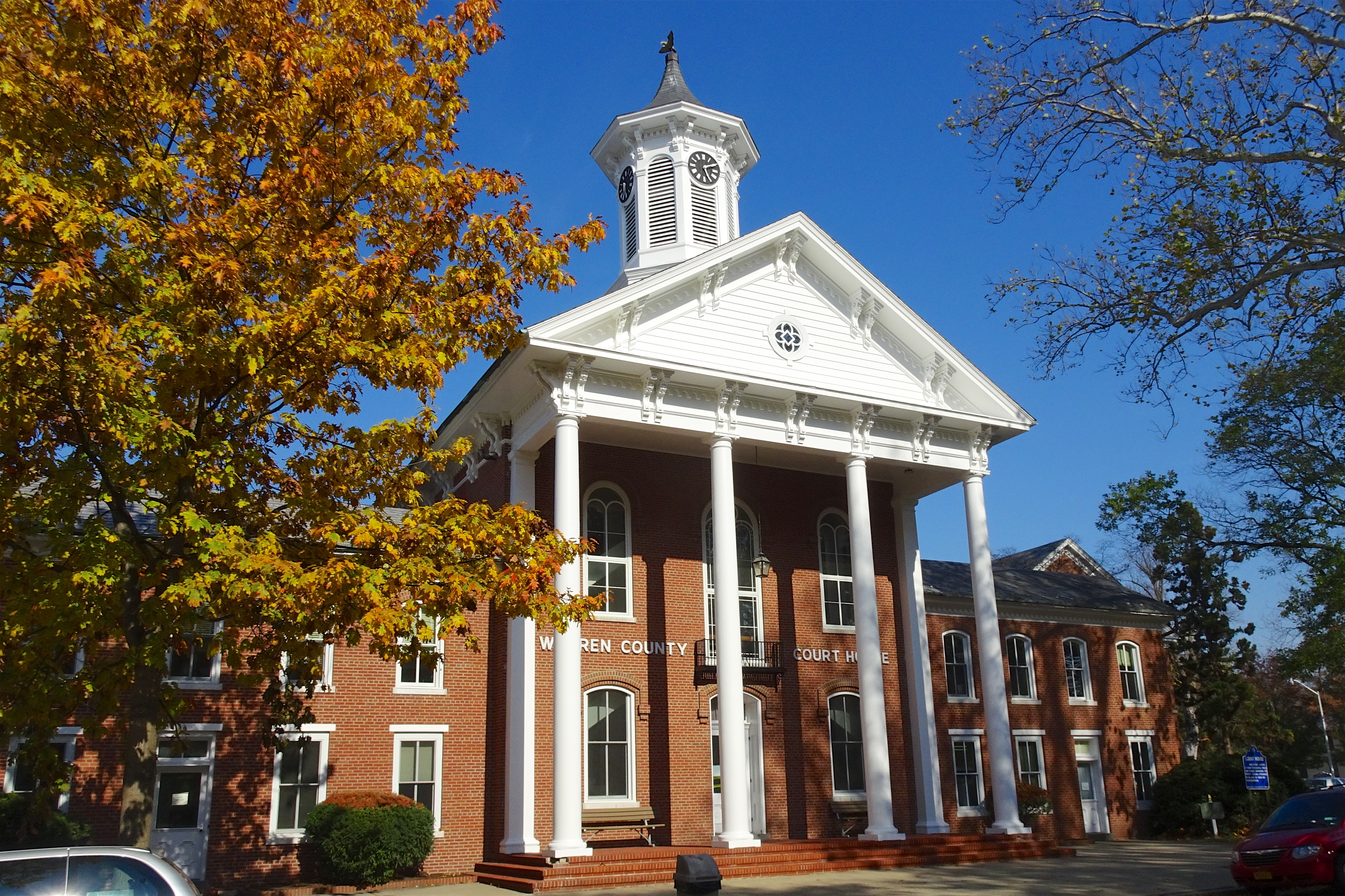
Warren County, New Jersey
Warren County is a county located in the U.S. state of New Jersey. As of the 2020 U.S. census, the county's population was 109,632, representing an increase of 940 (0.9%) from the 108,692 residents counted at the 2010 census. The county borders the Delaware River and Easton, Pennsylvania in the Lehigh Valley to its west, the New York City metropolitan area to its east, and The Poconos to its northwest. Warren County is the only county in New Jersey which is not part of the combined statistical areas of New York City or Philadelphia. The most populous place is Phillipsburg, with 14,950 residents at the time of the 2010 census while Hardwick Township had both the largest area and the fewest people with 1,696 residents. Its county seat is Belvidere.New Jersey County Map , |
Newton, New Jersey
Newton, officially the ''Town of Newton'', is an incorporated municipality located in Sussex County, in the U.S. state of New Jersey. It is situated approximately by road northwest of New York City. As the location of the county's administrative offices and court system, Newton is the county seat of Sussex County.New Jersey County Map . Accessed July 10, 2017. One of 15 municipalities in the state organized as a |
Augusta, New Jersey
Augusta is an unincorporated community located within Frankford Township, in Sussex County, New Jersey, United States. As of the 2010 United States Census, the population for the ZIP Code Tabulation Area 07822 was 887.DP-1 – Profile of General Population and Housing Characteristics: 2010 from 2010 Demographic Profile Data for ZCTA5 07822 , . Accessed August 27, 2013. Augusta is the home of the |
Lenape
The Lenape (, , or Lenape , del, Lënapeyok) also called the Leni Lenape, Lenni Lenape and Delaware people, are an indigenous peoples of the Northeastern Woodlands, who live in the United States and Canada. Their historical territory included present-day northeastern Delaware, New Jersey and eastern Pennsylvania along the Delaware River watershed, New York City, western Long Island, and the lower Hudson Valley. Today, Lenape people belong to the Delaware Nation and Delaware Tribe of Indians in Oklahoma; the Stockbridge–Munsee Community in Wisconsin; and the Munsee-Delaware Nation, Moravian of the Thames First Nation, and Delaware of Six Nations in Ontario. The Lenape have a matrilineal clan system and historically were matrilocal. During the last decades of the 18th century, most Lenape were removed from their homeland by expanding European colonies. The divisions and troubles of the American Revolutionary War and United States' independence pushed them farther west. ... [...More Info...] [...Related Items...] OR: [Wikipedia] [Google] [Baidu] |
Hunter-gatherers
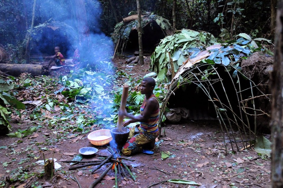
A traditional hunter-gatherer or forager is a human living an ancestrally derived lifestyle in which most or all food is obtained by foraging, that is, by gathering food from local sources, especially edible wild plants but also insects, fungi, honey, or anything safe to eat, and/or by hunting game (pursuing and/or trapping and killing wild animals, including catching fish), roughly as most animal omnivores do. Hunter-gatherer societies stand in contrast to the more sedentary agricultural societies, which rely mainly on cultivating crops and raising domesticated animals for food production, although the boundaries between the two ways of living are not completely distinct. Hunting and gathering was humanity's original and most enduring successful competitive adaptation in the natural world, occupying at least 90 percent of human history. Following the invention of agriculture, hunter-gatherers who did not change were displaced or conquered by farming or pastoralist groups ... [...More Info...] [...Related Items...] OR: [Wikipedia] [Google] [Baidu] |
Carbon Dating
Radiocarbon dating (also referred to as carbon dating or carbon-14 dating) is a method for determining the age of an object containing organic material by using the properties of radiocarbon, a radioactive isotope of carbon. The method was developed in the late 1940s at the University of Chicago by Willard Libby. It is based on the fact that radiocarbon () is constantly being created in the Earth's atmosphere by the interaction of cosmic rays with atmospheric nitrogen. The resulting combines with atmospheric oxygen to form radioactive carbon dioxide, which is incorporated into plants by photosynthesis; animals then acquire by eating the plants. When the animal or plant dies, it stops exchanging carbon with its environment, and thereafter the amount of it contains begins to decrease as the undergoes radioactive decay. Measuring the amount of in a sample from a dead plant or animal, such as a piece of wood or a fragment of bone, provides information that can be used to calc ... [...More Info...] [...Related Items...] OR: [Wikipedia] [Google] [Baidu] |
Port Jervis, New York
Port Jervis is a city located at the confluence of the Neversink and Delaware rivers in western Orange County, New York, United States, north of the Delaware Water Gap. Its population was 8,775 at the 2020 census. The communities of Deerpark, Huguenot, Sparrowbush, and Greenville are adjacent to Port Jervis. Matamoras, Pennsylvania, is across the river and connected by bridge. Montague Township, New Jersey, borders here. The Tri-States Monument, marking the tripoint between New York, New Jersey, and Pennsylvania, lies at the southwestern corner of town. Port Jervis was part of early industrial history, a point for shipping coal to major markets to the southeast by canal and later by railroads. Its residents had long-distance passenger service by railroad until 1970. The restructuring of railroads resulted in a decline in the city's business and economy. In the 21st century, from late spring to early fall, many thousands of travelers and tourists pass through Port Jervis on ... [...More Info...] [...Related Items...] OR: [Wikipedia] [Google] [Baidu] |
Boreal Forest
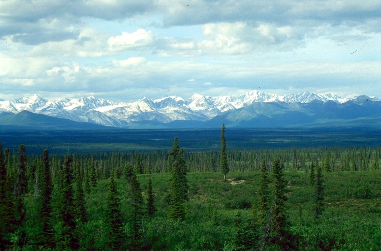
Taiga (; rus, тайга́, p=tɐjˈɡa; relates to Mongolic and Turkic languages), generally referred to in North America as a boreal forest or snow forest, is a biome characterized by coniferous forests consisting mostly of pines, spruces, and larches. The taiga or boreal forest has been called the world's largest land biome. In North America, it covers most of inland Canada, Alaska, and parts of the northern contiguous United States. In Eurasia, it covers most of Sweden, Finland, much of Russia from Karelia in the west to the Pacific Ocean (including much of Siberia), much of Norway and Estonia, some of the Scottish Highlands, some lowland/coastal areas of Iceland, and areas of northern Kazakhstan, northern Mongolia, and northern Japan (on the island of Hokkaidō). The main tree species, depending on the length of the growing season and summer temperatures, vary across the world. The taiga of North America is mostly spruce, Scandinavian and Finnish taiga consists of a m ... [...More Info...] [...Related Items...] OR: [Wikipedia] [Google] [Baidu] |
Taiga
Taiga (; rus, тайга́, p=tɐjˈɡa; relates to Mongolic and Turkic languages), generally referred to in North America as a boreal forest or snow forest, is a biome characterized by coniferous forests consisting mostly of pines, spruces, and larches. The taiga or boreal forest has been called the world's largest land biome. In North America, it covers most of inland Canada, Alaska, and parts of the northern contiguous United States. In Eurasia, it covers most of Sweden, Finland, much of Russia from Karelia in the west to the Pacific Ocean (including much of Siberia), much of Norway and Estonia, some of the Scottish Highlands, some lowland/coastal areas of Iceland, and areas of northern Kazakhstan, northern Mongolia, and northern Japan (on the island of Hokkaidō). The main tree species, depending on the length of the growing season and summer temperatures, vary across the world. The taiga of North America is mostly spruce, Scandinavian and Finnish taiga consists of ... [...More Info...] [...Related Items...] OR: [Wikipedia] [Google] [Baidu] |


