|
Ocotillo Wells
Ocotillo Wells is an unincorporated area, unincorporated community in San Diego County, California, United States. It is west of the Imperial County, California, Imperial County line on California State Route 78 at an elevation of . The name became official in 1962 when it was adopted for US Federal Government, federal use by the United States Board on Geographic Names, US Board on Geographic Names. A federally recognized variant name, ''Ocotillo'', can cause confusion with the community of Ocotillo, California in Imperial County, to the south on Interstate 8. The ZIP Code is 92004 and the community is in area code 760. The number prefix for wired telephones is 767, which is shared with Borrego Springs, California, Borrego Springs. Local landmarks Ocotillo Airport, Ocotillo Wells County Airport has two dirt runways. Runway extents are marked by white paving blocks. The Los Puertecitos Historic Site is on California State Route 78 about west of the community. Gasoline is avail ... [...More Info...] [...Related Items...] OR: [Wikipedia] [Google] [Baidu] |
Unincorporated Area
An unincorporated area is a region that is not governed by a local municipal corporation. Widespread unincorporated communities and areas are a distinguishing feature of the United States and Canada. Most other countries of the world either have no unincorporated areas at all or these are very rare: typically remote, outlying, sparsely populated or List of uninhabited regions, uninhabited areas. By country Argentina In Argentina, the provinces of Chubut Province, Chubut, Córdoba Province (Argentina), Córdoba, Entre Ríos Province, Entre Ríos, Formosa Province, Formosa, Neuquén Province, Neuquén, Río Negro Province, Río Negro, San Luis Province, San Luis, Santa Cruz Province, Argentina, Santa Cruz, Santiago del Estero Province, Santiago del Estero, Tierra del Fuego Province, Argentina, Tierra del Fuego, and Tucumán Province, Tucumán have areas that are outside any municipality or commune. Australia Unlike many other countries, Australia has only local government in Aus ... [...More Info...] [...Related Items...] OR: [Wikipedia] [Google] [Baidu] |
Ocotillo, California
Ocotillo (; Spanish for " Vine cactus") is a census-designated place (CDP) in Imperial County, California. Ocotillo is located west of El Centro, The population was 215 at the 2020 census, down from 266 at the 2010 census and 296 at the 2000 census. It is part of the El Centro, California Metropolitan Statistical Area. Ocotillo was devastated by floods from Hurricane Kathleen in 1976; 3 people died. There is a cafe, a church, a small park, a community center, a small market, two bars, OHV rentals and a gas station. There is a Desert Museum with displays about the desert terrain, flora, etc. and artifacts from the Kumeyaay culture that inhabited the area which is located on the north side of Interstate 8. Geography According to the United States Census Bureau, the CDP has a total area of , all of it land. History Ocotillo is located on a site that originally sat on the edge of ancient Lake Cahuilla and is the traditional territory of the Kumeyaay. The town originated as a ret ... [...More Info...] [...Related Items...] OR: [Wikipedia] [Google] [Baidu] |
Hot Desert Climate
The desert climate or arid climate (in the Köppen climate classification ''BWh'' and ''BWk''), is a dry climate sub-type in which there is a severe excess of evaporation over precipitation. The typically bald, rocky, or sandy surfaces in desert climates are dry and hold little moisture, quickly evaporating the already little rainfall they receive. Covering 14.2% of earth's land area, hot deserts are the second most common type of climate on earth after the polar climate. There are two variations of a desert climate according to the Köppen climate classification: a hot desert climate (''BWh''), and a cold desert climate (''BWk''). To delineate "hot desert climates" from "cold desert climates", there are three widely used isotherms: most commonly a mean annual temperature of , or sometimes the coldest month's mean temperature of , so that a location with a ''BW'' type climate with the appropriate temperature above whichever isotherm is being used is classified as "hot arid sub ... [...More Info...] [...Related Items...] OR: [Wikipedia] [Google] [Baidu] |
Letterboxes Ocotillo Wells 2013 Crop
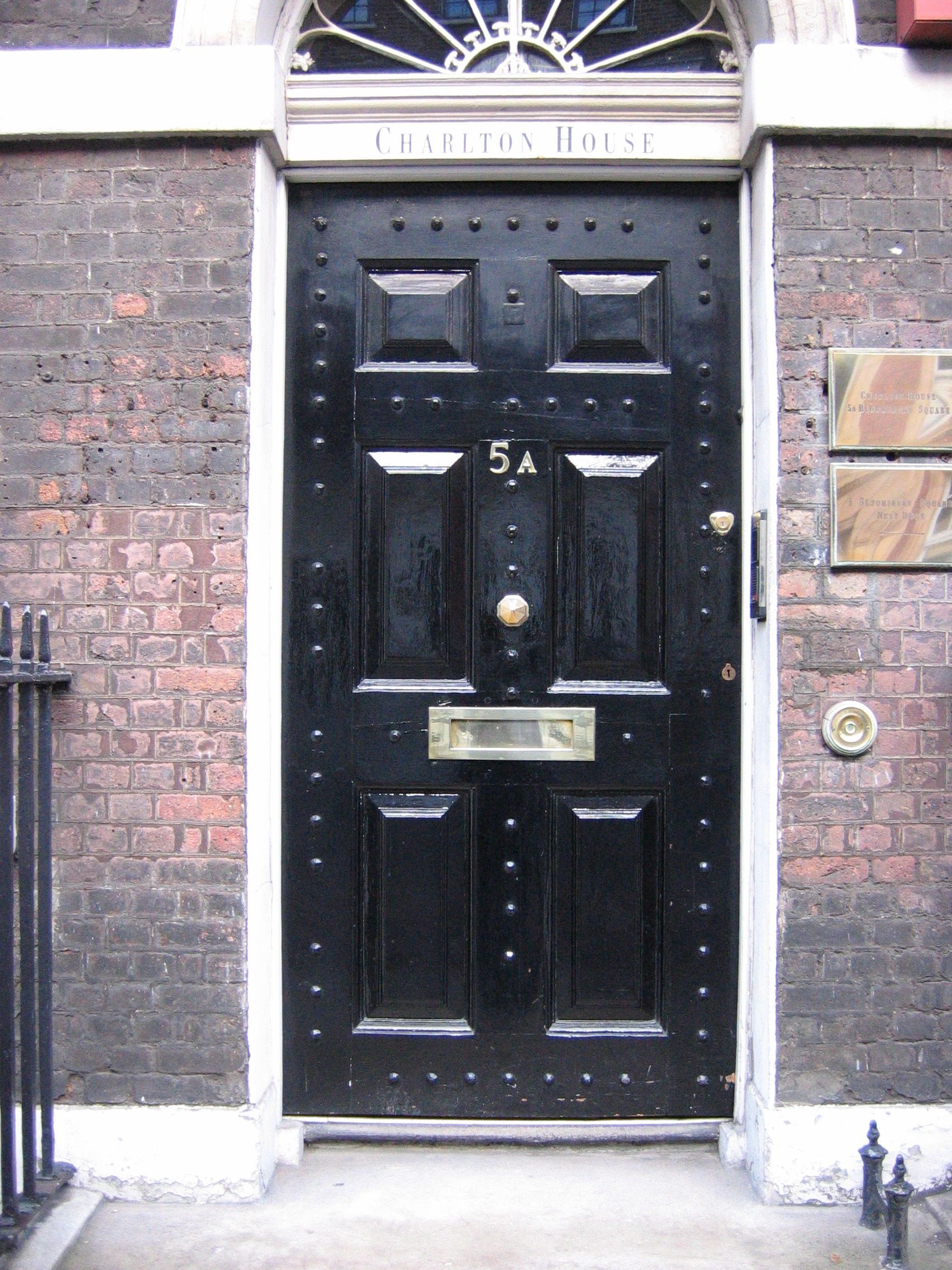
A letter box, letterbox, letter plate, letter hole, mail slot or mailbox is a receptacle for receiving incoming mail at a private residence or business. For outgoing mail, Post boxes are often used for depositing the mail for collection, although some letter boxes are also capable of holding outgoing mail for a carrier to pick up. Letterboxes or mailboxes use the following primary designs: * A slot in a wall or door through which mail is delivered (through-door delivery) * A box attached directly to the building (direct-to-door delivery) * A box mounted at or near the street ( curbside delivery) * A centralised mail delivery station consisting of individual mailboxes for an entire building also known as a "flock" throughout the South Island of New Zealand and parts of America. * A centralised mail delivery station consisting of individual mailboxes for multiple recipients at multiple addresses in a particular neighborhood or community Styles and usage A "letter box", or "mail ... [...More Info...] [...Related Items...] OR: [Wikipedia] [Google] [Baidu] |
Iron Door Bar
Iron () is a chemical element with symbol Fe (from la, ferrum) and atomic number 26. It is a metal that belongs to the first transition series and group 8 of the periodic table. It is, by mass, the most common element on Earth, right in front of oxygen (32.1% and 30.1%, respectively), forming much of Earth's outer and inner core. It is the fourth most common element in the Earth's crust. In its metallic state, iron is rare in the Earth's crust, limited mainly to deposition by meteorites. Iron ores, by contrast, are among the most abundant in the Earth's crust, although extracting usable metal from them requires kilns or furnaces capable of reaching or higher, about higher than that required to smelt copper. Humans started to master that process in Eurasia during the 2nd millennium BCE and the use of iron tools and weapons began to displace copper alloys, in some regions, only around 1200 BCE. That event is considered the transition from the Bronze Age to the Iron Ag ... [...More Info...] [...Related Items...] OR: [Wikipedia] [Google] [Baidu] |
All-terrain Vehicle
An all-terrain vehicle (ATV), also known as a light utility vehicle (LUV), a quad bike, or simply a quad, as defined by the American National Standards Institute (ANSI); is a vehicle that travels on low-pressure tires, with a seat that is straddled by the operator, along with handlebars for steering control. As the name implies, it is designed to handle a wider variety of terrain than most other vehicles. Although it is a street-legal vehicle in some countries, it is not street-legal within most states, territories and provinces of Australia, the United States or Canada. By the current ANSI definition, ATVs are intended for use by a single operator, although some companies have developed ATVs intended for use by the operator and one passenger. These ATVs are referred to as tandem ATVs. The rider sits on and operates these vehicles like a motorcycle, but the extra wheels give more stability at slower speeds. Although most are equipped with three or four wheels, six-wheel mode ... [...More Info...] [...Related Items...] OR: [Wikipedia] [Google] [Baidu] |
RV Park
A recreational vehicle park (RV park) or caravan park is a place where people with recreational vehicles can stay overnight, or longer, in allotted spaces known as "sites" or "campsites". They are also referred to as campgrounds, though a true campground also provides facilities for tent camping; many facilities calling themselves "RV parks" also offer tent camping or cabins with limited facilities. Services Allocated space (pitch/site) facilities may include: * AC power connection. (Usually rated by capacity such as 15, 20, 30 or 50 amperes.) * Drinking water connection * Sewer connection * Television connection (relevant to local area standards) * Telephone connection (rare outside North America) * Hotspot (Wi-Fi) Park facilities may include: * Barbecue area * Bathhouses * Convenience store * Dump station * Exercise equipment * Gift shop * Golf Courses * Hot tubs * Laundry * Picnic tables * Restrooms * Recreation Hall * Showers * Swimming pool * Bar/restauran ... [...More Info...] [...Related Items...] OR: [Wikipedia] [Google] [Baidu] |
Westmorland, California
Westmorland (formerly, Westmoreland) is a city in Imperial County, California. Westmorland is located southwest of Calipatria. The population was 2,014 at the 2020 census, down from 2,225 at the 2010 census,US Census Bureau, 2020 Census, Westmorland city, California profile up from 2,131 in 2000. It is part of the El Centro Metropolitan Area. The mayor of Westmorland is Ana Beltran. Westmorland is on State Route 86, which was upgraded to a new six-lane highway to reduce its infamous auto accident and fatality risk, while it connects with Brawley, El Centro and Mexicali, Baja California, Mexico. The post office, originally called Westmoreland, opened in 1909; it closed in 1912 and re-opened in 1919. It was renamed to Westmorland in 1936. Westmorland incorporated in 1934. From the 1920s through the 1950s Westmorland was the site of illegal gaming establishments and many brothels, but these were later destroyed in an attempt to improve the town's image. Westmorland has deal ... [...More Info...] [...Related Items...] OR: [Wikipedia] [Google] [Baidu] |
Borrego Springs
Borrego Springs (''Borrego'', Spanish for "Sheep") is a census-designated place (CDP) in San Diego County, California. The population was 3,429 at the 2010 census, up from 2,535 at the 2000 census, made up of both seasonal and year-round residents. Borrego Springs is completely surrounded by Anza-Borrego State Park, the largest California State Park. The village of Borrego Springs is recognized as a designated International Dark Sky Community by the International Dark-Sky Association (IDA). There are no stop lights in Borrego Springs and nighttime lighting is kept to a minimum to protect the views of the night sky. Borrego Springs is approximately from downtown San Diego and the lights of the highly developed California coast. Borrego Springs was designated as California's first International Dark-Sky Community by the International Dark-Sky Association. It is a center for public astronomy activities throughout the year. Borrego Springs has pueblo-style, modern architecture an ... [...More Info...] [...Related Items...] OR: [Wikipedia] [Google] [Baidu] |
Los Puertecitos Historic Site
LOS, or Los, or LoS may refer to: Science and technology * Length of stay, the duration of a single episode of hospitalisation * Level of service, a measure used by traffic engineers * Level of significance, a measure of statistical significance * Line-of-sight (other) * LineageOS, a free and open-source operating system for smartphones and tablet computers * Loss of signal ** Fading **End of pass (spaceflight) * Loss of significance, undesirable effect in calculations using floating-point arithmetic Medicine and biology * Lipooligosaccharide, a bacterial lipopolysaccharide with a low-molecular-weight * Lower oesophageal sphincter Arts and entertainment * '' The Land of Stories'', a series of children's novels by Chris Colfer * Los, or the Crimson King, a character in Stephen King's novels * Los (band), a British indie rock band from 2008 to 2011 * Los (Blake), a character in William Blake's poetry * Los (rapper) (born 1982), stage name of American rapper Carlos ... [...More Info...] [...Related Items...] OR: [Wikipedia] [Google] [Baidu] |
Ocotillo Airport
Ocotillo Airport is a county-owned, public-use airport located in Ocotillo Wells, an unincorporated community in San Diego County, California, United States. Facilities and aircraft Ocotillo Airport covers an area of at an elevation of 160 feet (49 m) above mean sea level. It has two runways with dirt surfaces: 13/31 is 4,210 by 150 feet (1,283 x 46 m) and 9/27 is 2,475 by 150 feet (754 x 46 m). For the 12-month period ending December 31, 2010, the airport had 810 general aviation aircraft operations, an average of 68 per month. No aircraft was based at the airport during that time. US Navy World War II During World War II the airport was used by the US Navy and called Naval Outlying Field, Ocotillo Dry Lake. It was used for training and to support Borrego Valley Maneuver Area, Benson Bombing Range and the Borrego Hotel Target Area, as a bub base of Naval Air Base Salton Sea in support of San Diego Naval Air Station. The US Navy returned the airport to the county in 1956. Th ... [...More Info...] [...Related Items...] OR: [Wikipedia] [Google] [Baidu] |
Borrego Springs, California
Borrego Springs (''Borrego'', Spanish for "Sheep") is a census-designated place (CDP) in San Diego County, California. The population was 3,429 at the 2010 census, up from 2,535 at the 2000 census, made up of both seasonal and year-round residents. Borrego Springs is completely surrounded by Anza-Borrego State Park, the largest California State Park. The village of Borrego Springs is recognized as a designated International Dark Sky Community by the International Dark-Sky Association (IDA). There are no stop lights in Borrego Springs and nighttime lighting is kept to a minimum to protect the views of the night sky. Borrego Springs is approximately from downtown San Diego and the lights of the highly developed California coast. Borrego Springs was designated as California's first International Dark-Sky Community by the International Dark-Sky Association. It is a center for public astronomy activities throughout the year. Borrego Springs has pueblo-style, modern architecture an ... [...More Info...] [...Related Items...] OR: [Wikipedia] [Google] [Baidu] |


