|
Oranjestad (other)
{{geodis ...
Oranjestad may refer to: * Oranjestad, Aruba, the capital of Aruba * Oranjestad, Sint Eustatius, until 10 October 2010 part of the Netherlands Antilles, now part of the Netherlands * City with a strong connection to the House of Orange-Nassau, particularly members of the Unie van Oranjesteden (Union of Orange Cities): ** Breda, Netherlands ** Buren, Netherlands ** Diest, Belgium ** Dillenburg, Germany ** Orange, Vaucluse, France ** Steenbergen, Netherlands See also * Orange City (other) Orange City may refer to: * Orange City, Florida, United States * Orange City, Iowa, United States * City of Orange, New Jersey, United States * Orange, Vaucluse, France * Nagpur, Maharashtra, India, nicknamed "Orange City" * Bhawani Mandi, Rajas ... [...More Info...] [...Related Items...] OR: [Wikipedia] [Google] [Baidu] |
Oranjestad, Aruba
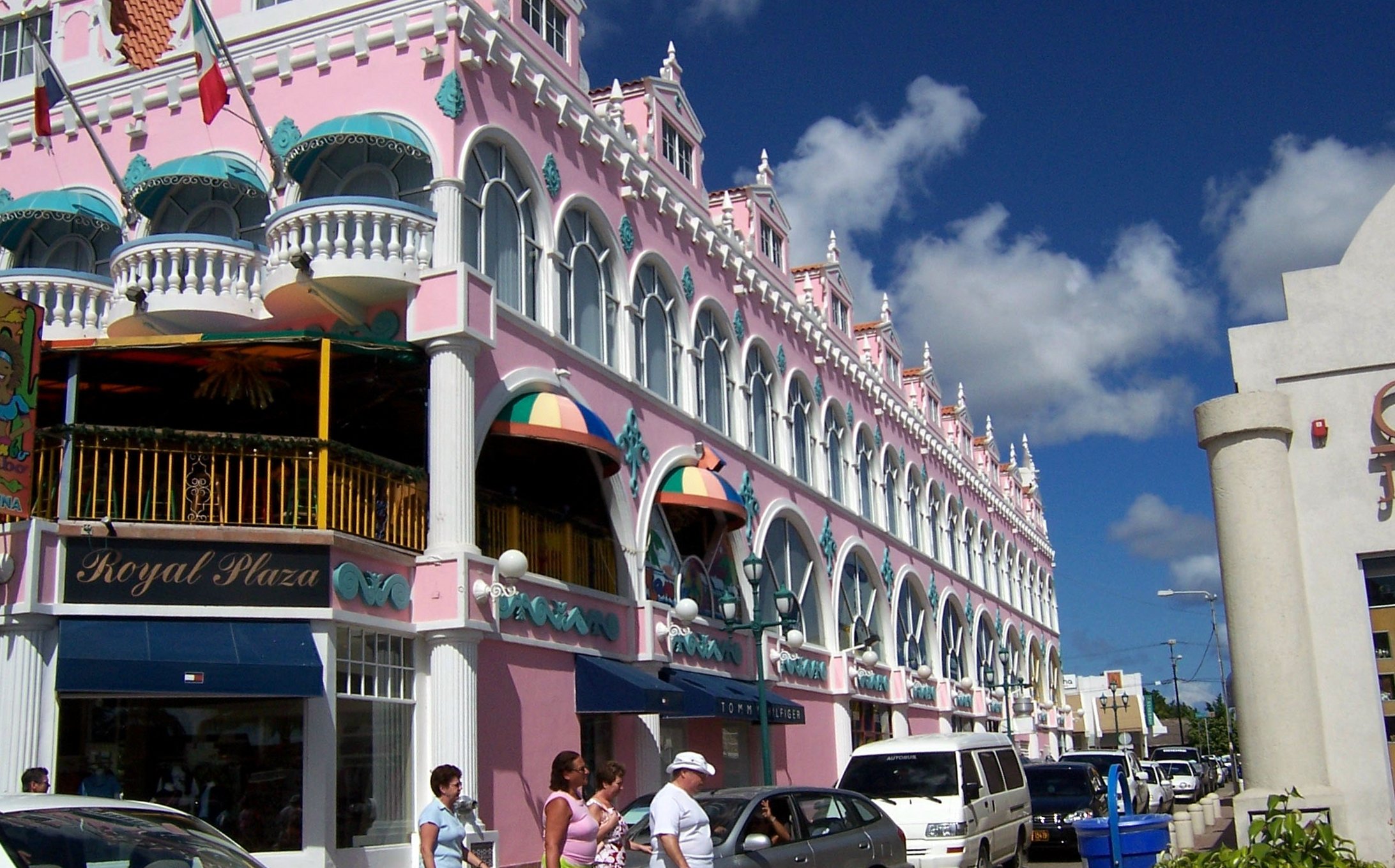
Oranjestad ( , , ; literally "Orange City") is the capital and largest city of Aruba, a constituent country of the Kingdom of the Netherlands. It is located on the southern coast near the western end of the island country. In the local language, Papiamento, Oranjestad is often referred to as "Playa". In 2010, the population of the capital was 28,294. History The town was built around Fort Zoutman shortly after it was built in 1796. Initially, the town had no official name, being known only as the town on the Bay of Horses (''Paardenbaai'' in Dutch), a place from which horses were raised and exported to neighbouring Curaçao and Jamaica. In the early 19th century, Oranjestad was like a village, because Aruba had no large plantations or international traders. The total population of the island in 1816 was estimated at 1,732 most of whom were farmers. Fort Zoutman was the main building around which 200 small houses had been erected. The town had two churches: one Catholic and one P ... [...More Info...] [...Related Items...] OR: [Wikipedia] [Google] [Baidu] |
Oranjestad, Sint Eustatius
Oranjestad (; en, Orange Town) is a small town of 1,038 inhabitants; it is the capital of the island of Sint Eustatius in the Caribbean Netherlands. Geography Oranjestad is a historic harbour town which is divided into two main sections. Lower Town is a strip of buildings just above sea level along the waterfront, which borders on the island's safest beach. Lower Town includes dive shops, numerous colonial-era ruins, and the harbour. Upper Town has a restored historic core, and is also the island's main commercial and residential centre. History Historical sites The first colonist arrived between 1625 and 1629. Sint Eustatius produced sugar and cotton, but most importantly developed into a centre of the North American slave trade. In 1780, the island had an estimated population of 20,000 people including slaves. In 1781, during the Fourth Anglo-Dutch War, the island was captured and plundered by George Rodney. During the capture, all archives were destroyed. In 1786, it was h ... [...More Info...] [...Related Items...] OR: [Wikipedia] [Google] [Baidu] |
House Of Orange-Nassau
The House of Orange-Nassau (Dutch: ''Huis van Oranje-Nassau'', ) is the current reigning house of the Netherlands. A branch of the European House of Nassau, the house has played a central role in the politics and government of the Netherlands and Europe especially since William the Silent organised the Dutch Revolt against Spanish rule, which after the Eighty Years' War (1568–1648) led to an independent Dutch state. Several members of the house served during this war and after as stadtholder ("governor"; Dutch: ''stadhouder'') during the Dutch Republic. However, in 1815, after a long period as a republic, the Netherlands became a monarchy under the House of Orange-Nassau. The dynasty was established as a result of the marriage of Henry III of Nassau-Breda from Germany and Claudia of Châlon-Orange from French Burgundy in 1515. Their son René of Chalon inherited in 1530 the independent and sovereign Principality of Orange from his mother's brother, Philibert of Châlon. ... [...More Info...] [...Related Items...] OR: [Wikipedia] [Google] [Baidu] |
Breda
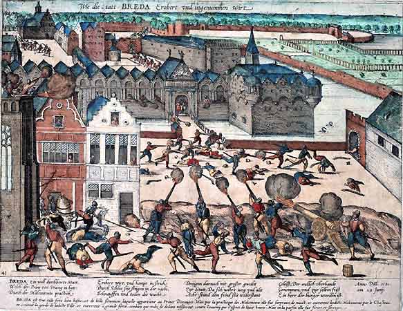
Breda () is a city and municipality in the southern part of the Netherlands, located in the province of North Brabant. The name derived from ''brede Aa'' ('wide Aa' or 'broad Aa') and refers to the confluence of the rivers Mark and Aa. Breda has 185,072 inhabitants on 13 September 2022 and is part of the Brabantse Stedenrij; it is the ninth largest city/municipality in the country, and the third largest in North Brabant after Eindhoven and Tilburg. It is equidistant between Rotterdam and Antwerp. As a fortified city, it was of strategic military and political significance. Although a direct Fiefdom of the Holy Roman Emperor, the city obtained a municipal charter; the acquisition of Breda, through marriage, by the House of Nassau ensured that Breda would be at the centre of political and social life in the Low Countries. Breda had a population of in ; the metropolitan area had a population of . History In the 11th century, Breda was a direct fief of the Holy Roman Emperor ... [...More Info...] [...Related Items...] OR: [Wikipedia] [Google] [Baidu] |
Buren
Buren () is a town and municipality in the Betuwe region of the Netherlands. Buren has 27,168 inhabitants as of 1 January 2022. Geography Buren is located in Gelderland, a province of the Netherlands. It is part of the landscape of Betuwe, a very fertile strip of land between two branches of Rhine-Meuse Delta, the Nederrijn in the north and the Waal in the south. Population Centers Population centers include: History The earliest known settlement of the region occurred as early as 772. The castle was built by the Lords of Buren and was first mentioned in 1298. The town was granted city rights in 1395 by Sir Alard IV of Buren which led to the construction of a defensive wall and a moat, significant portions of which still stand. In 1492, the region was promoted to a county (i.e. a territory ruled by a count) but had limited economic influence due to its geographic isolation. By 1574, the previously Catholic parish church of Saint-Lambert ( nl, Sint Lambertus) became Calvin ... [...More Info...] [...Related Items...] OR: [Wikipedia] [Google] [Baidu] |
Diest
Diest () is a city and municipality located in the Belgian province of Flemish Brabant. Situated in the northeast of the Hageland region, Diest neighbours the provinces of Antwerp to its North, and Limburg to the East and is situated around 60 km from Brussels. The municipality comprises the city of Diest proper and the towns of Deurne, Kaggevinne, Molenstede, Schaffen and Webbekom. As of January 1, 2006, Diest had a total population of 22,845. The total area is 58.20 km² which gives a population density of 393 inhabitants per km². History Between 1499 and 1795 the town was controlled by the House of Nassau (as were Breda in the Netherlands, Dillenburg in Germany and Orange in France) which was also the family of the Princes of Orange who at the end of the Napoleonic Wars became in 1815 the kings and queens of the Netherlands after the termination of the Dutch republic at the hands of revolutionary forces in 1795. The most famous representative of the House of ... [...More Info...] [...Related Items...] OR: [Wikipedia] [Google] [Baidu] |
Dillenburg
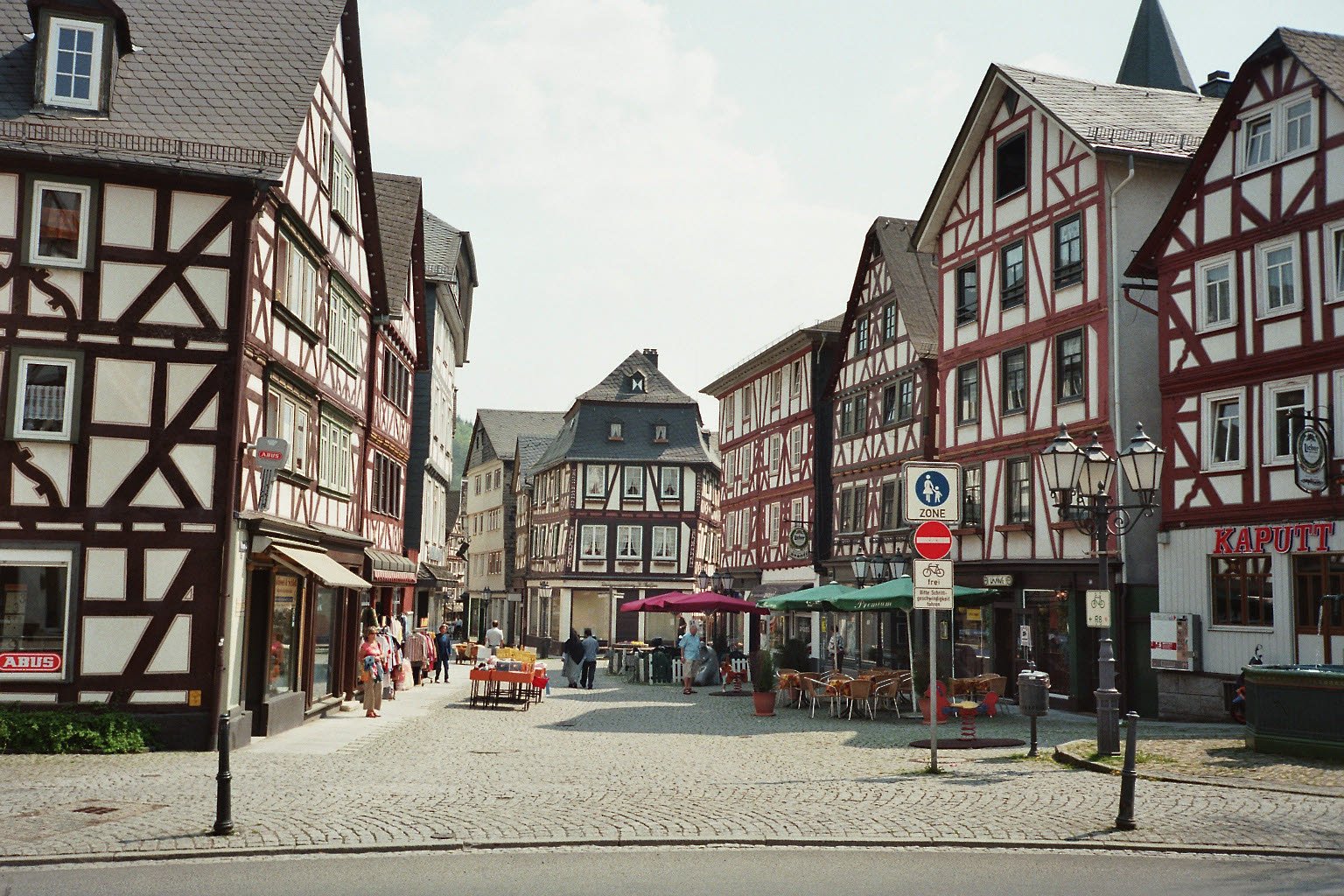
Dillenburg, officially Oranienstadt Dillenburg, is a town in Hesse's Gießen (region), Gießen region in Germany. The town was formerly the seat of the old Dillkreis district, which is now part of the Lahn-Dill-Kreis. The town lies on the German-Netherlands, Dutch holiday road called the Orange Route, joining towns, cities and regions associated with the House of Orange-Nassau, as well as on the German Timber-Frame Road and the Rothaarsteig hiking trail. Geography Location Dillenburg lies on the eastern edge of the Westerwald range in the narrow valley of the river Dill (river), Dill, which flows from Hesse-Westphalia border to Wetzlar, emptying into the Lahn. Neighbouring communities Dillenburg borders in the north on the community of Eschenburg, in the east on the community of Siegbach, in the south on the town of Herborn (Hesse), Herborn, and the community of Breitscheid (Hesse), Breitscheid, and in the west on the town of Haiger (all in the Lahn-Dill-Kreis). Const ... [...More Info...] [...Related Items...] OR: [Wikipedia] [Google] [Baidu] |
Orange, Vaucluse
Orange (; Provençal dialect, Provençal: ''Aurenja'' or ''Aurenjo'' ) is a Communes of France, commune in the Vaucluse Departments of France, department in the Provence-Alpes-Côte d'Azur Regions of France, region in southeastern France. It is about north of Avignon, on the departmental border with Gard, which follows the Rhône. Orange is the second-most populated city in Vaucluse, after Avignon. Name The settlement is attested as ''Arausio'' and ''Arausion'' in the first and second centuries AD, then as ''civitas Arausione'' in the fourth century, ''civitas Arausicae'' in 517 (via a Germanized form *''Arausinga''), ''Aurengia civitatis'' in 1136, and as ''Orenga'' in 1205. The name ''Arausio'' can be explained as the Gaulish ''ar-aus(i)o''- ('temple, cheek'), itself derived from an earlier Proto-Celtic *''far-aws(y)o''-, which literally means 'in front of the ear' (cf. Old Irish ''ara'', ''arae''; Ancient Greek ''pareiaí'', ''parauai'' < *''par-ausiā''). [...More Info...] [...Related Items...] OR: [Wikipedia] [Google] [Baidu] |
Steenbergen
Steenbergen () is a municipality and a town in the province of North Brabant in the south of the Netherlands. The municipality had a population of in and covers an area of of which is water. The municipality is mainly agricultural including a strongly growing greenhouse sector, but Steenbergen and the nearby town of Dinteloord also contain some light industry. A new stretch of A4 motorway under construction is expected to further increase the municipality's attractiveness, allowing easy connections with the large cities of Rotterdam to the north and the Belgian city of Antwerp to the south. The connection with the nearby city of Bergen op Zoom will also be improved as a result. Population centres The city of Steenbergen Steenbergen received city rights in 1272. Graves of Guy Gibson and Jim Warwick Guy Gibson, Wing Commander and the first CO of the RAF's 617 Squadron which he led in the " Dam Busters" raid in 1943, crashed with his Mosquito aircraft in this municipalit ... [...More Info...] [...Related Items...] OR: [Wikipedia] [Google] [Baidu] |


