|
Ophichthys Desilvai
''Ophichthys desilvai'' (lesser swamp eel or Desilvai's blind eel) is a commercially important, air-breathing species of fish in the family Synbranchidae. It is endemic to Sri Lanka and is the only endemic synbranchid from there. Etymology The specific name honours the Sri Lankan herpetologist Pilippu Hewa Don Hemasiri de Silva (b. 1927), who has been director of the National Museums of Ceylon, in recognition to the help and advice he gave to Carl Gans when he was conducting fieldwork in Sri Lanka. Taxonomy It was formerly classified in the genus ''Monopterus'' but a 2020 study reclassified it into the resurrected genus ''Ophichthys'' along with several other former ''Monopterus'' species. Distribution and habitat It is known from swamp areas and paddy fields from the west side of Sri Lanka. Some have been recovered from the Bolgoda swamp, an estuary southwest of Colombo. A 2020 study found specimens in the lowland coastal floodplain on the west side of the island as wel ... [...More Info...] [...Related Items...] OR: [Wikipedia] [Google] [Baidu] |
Reeve Maclaren Bailey
Reeve Maclaren Bailey (born May 2, 1911, in Fairmont, West Virginia - died July 2, 2011, in Ann Arbor, Michigan) was an American ichthyologist. Bailey was awarded Doctor of Philosophy degree from the University of Michigan in 1938. Bailey was the President President most commonly refers to: *President (corporate title) * President (education), a leader of a college or university * President (government title) President may also refer to: Automobiles * Nissan President, a 1966–2010 Japanese ... of the American Fisheries Society in 1974–1975. References 1911 births 2011 deaths American ichthyologists American centenarians Men centenarians University of Michigan alumni People from Fairmont, West Virginia {{US-zoologist-stub ... [...More Info...] [...Related Items...] OR: [Wikipedia] [Google] [Baidu] |
Bolgoda Lake
Bolgoda Lake or Bolgoda River ( si, බොල්ගොඩ වැව, ta, போல்கோடா ஏரி) is a freshwater lake in the Western Province of Sri Lanka, straddling the border between Colombo District and Kalutara District. It consists of two main bodies of water, a Northern portion and a Southern portion, connected by a waterway called Bolgoda River. The lake drains into the sea at the estuary in Panadura. Bolgoda Lake is part of Bolgoda Environmental Protection Area, gazetted in December 2009 and consisting of 5 subdivisions: # Bolgoda Ganga # Bolgoda North Lake # Bolgoda South Lake # Panadura Ganga # Weras Ganga The lake is a popular location for watersports with the Ceylon Motor Yacht Club been located on the shores of the lake since 1936. The waterfront properties around the lake are owned by wealthy and notable individuals such as Mangala Samaraweera and Susanthika Jayasinghe. Lake environment Illegal constructions near the lake are a major emerging is ... [...More Info...] [...Related Items...] OR: [Wikipedia] [Google] [Baidu] |
Freshwater Fish Of Sri Lanka
Sri Lanka is a tropical island situated close to the southern tip of India. It is situated in the middle of Indian Ocean. Because of being an island, Sri Lanka has many endemic freshwater fauna, including fish, crabs, molluscs, and other aquatic insects. Species List Class: Actinopterygii Freshwater fish are physiologically differ from marine and brackish water forms. The low salinity and high osmotic pressure makes them so different. Few fish can be found in all three ecological systems. There are 95 species of freshwater fish occur in the country, where 53 of those are endemic. 41% of all known species of fish of Sri Lanka are found in freshwater. There are about 70% of endemism of those fish. Most of them are listed into IUCN categories. Four ''Devario'' species were described in 2017 by Batuwita et al. However, the taxonomy and descriptions were cited as problematic by fellow local ichthyologists. Note: introduced species are not included in the list. Go to '' List of intro ... [...More Info...] [...Related Items...] OR: [Wikipedia] [Google] [Baidu] |
Landfill
A landfill site, also known as a tip, dump, rubbish dump, garbage dump, or dumping ground, is a site for the disposal of waste materials. Landfill is the oldest and most common form of waste disposal, although the systematic burial of the waste with daily, intermediate and final covers only began in the 1940s. In the past, refuse was simply left in piles or thrown into pits; in archeology this is known as a midden. Some landfill sites are used for waste management purposes, such as temporary storage, consolidation and transfer, or for various stages of processing waste material, such as sorting, treatment, or recycling. Unless they are stabilized, landfills may undergo severe shaking or soil liquefaction of the ground during an earthquake. Once full, the area over a landfill site may be reclaimed for other uses. Operations Operators of well-run landfills for non-hazardous waste meet predefined specifications by applying techniques to: # confine waste to as small an area as ... [...More Info...] [...Related Items...] OR: [Wikipedia] [Google] [Baidu] |
Surface Runoff
Surface runoff (also known as overland flow) is the flow of water occurring on the ground surface when excess rainwater, stormwater, meltwater, or other sources, can no longer sufficiently rapidly infiltrate in the soil. This can occur when the soil is saturated by water to its full capacity, and the rain arrives more quickly than the soil can absorb it. Surface runoff often occurs because impervious areas (such as roofs and pavement) do not allow water to soak into the ground. Furthermore, runoff can occur either through natural or man-made processes. Surface runoff is a major component of the water cycle. It is the primary agent of soil erosion by water. The land area producing runoff that drains to a common point is called a drainage basin. Runoff that occurs on the ground surface before reaching a channel can be a nonpoint source of pollution, as it can carry man-made contaminants or natural forms of pollution (such as rotting leaves). Man-made contaminants in runoff i ... [...More Info...] [...Related Items...] OR: [Wikipedia] [Google] [Baidu] |
Overfishing
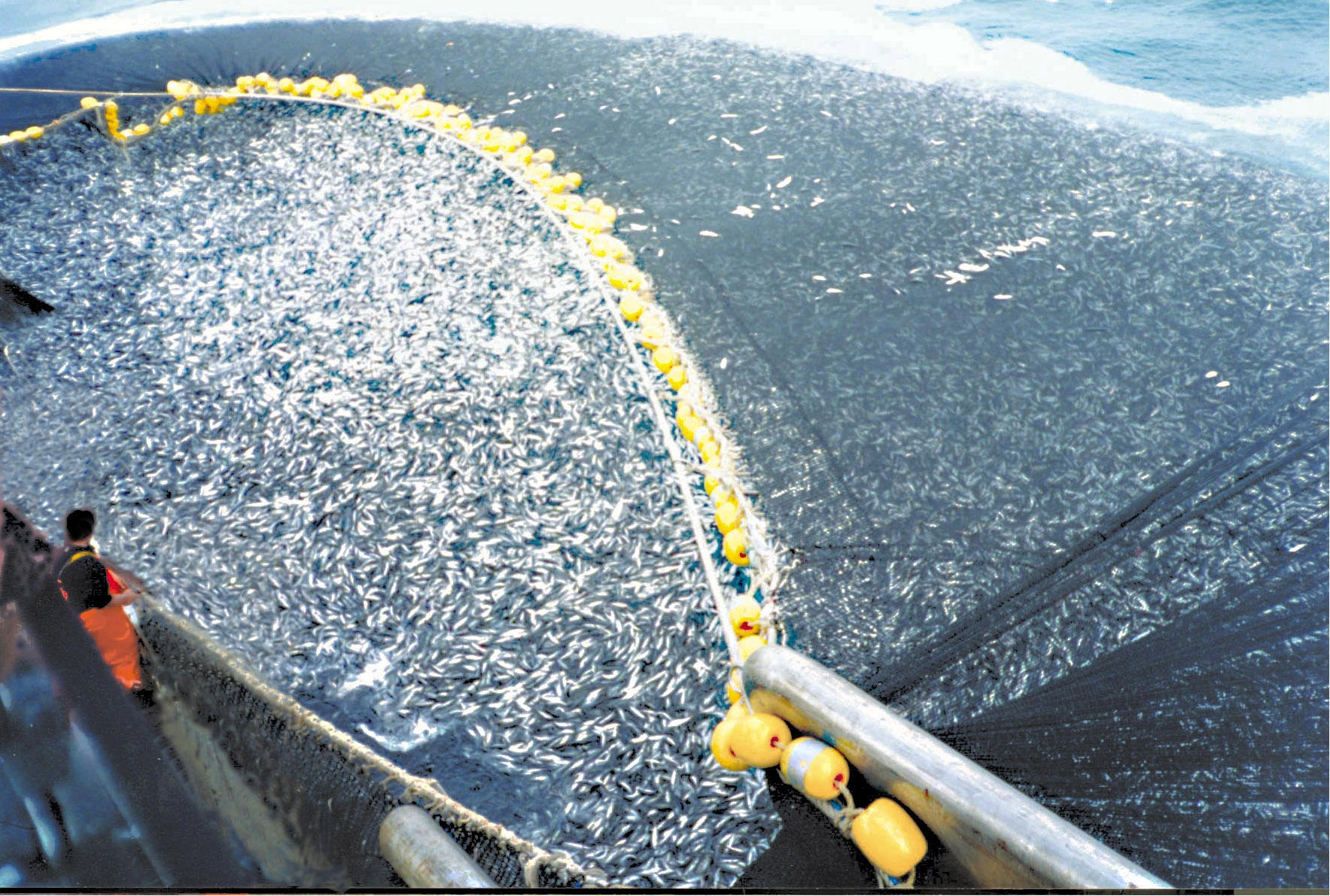
Overfishing is the removal of a species of fish (i.e. fishing) from a body of water at a rate greater than that the species can replenish its population naturally (i.e. the overexploitation of the fishery's existing fish stock), resulting in the species becoming increasingly underpopulated in that area. Overfishing can occur in water bodies of any sizes, such as ponds, wetlands, rivers, lakes or oceans, and can result in resource depletion, reduced biological growth rates and low biomass levels. Sustained overfishing can lead to critical depensation, where the fish population is no longer able to sustain itself. Some forms of overfishing, such as the overfishing of sharks, has led to the upset of entire marine ecosystems. Types of overfishing include: growth overfishing, recruitment overfishing, ecosystem overfishing. The ability of a fishery to recover from overfishing depends on whether its overall carrying capacity and the variety of ecological conditions are suitable for t ... [...More Info...] [...Related Items...] OR: [Wikipedia] [Google] [Baidu] |
Dry Season
The dry season is a yearly period of low rainfall, especially in the tropics. The weather in the tropics is dominated by the tropical rain belt, which moves from the northern to the southern tropics and back over the course of the year. The temperate counterpart to the tropical dry season is summer or winter. Rain belt The tropical rain belt lies in the southern hemisphere roughly from October to March; during that time the northern tropics have a dry season with sparser precipitation, and days are typically sunny throughout. From April to September, the rain belt lies in the northern hemisphere, and the southern tropics have their dry season. Under the Köppen climate classification, for tropical climates, a dry season month is defined as a month when average precipitation is below . The rain belt reaches roughly as far north as the Tropic of Cancer and as far south as the Tropic of Capricorn. Near these latitudes, there is one wet season and one dry season annually. At the ... [...More Info...] [...Related Items...] OR: [Wikipedia] [Google] [Baidu] |
Leaf Vegetable
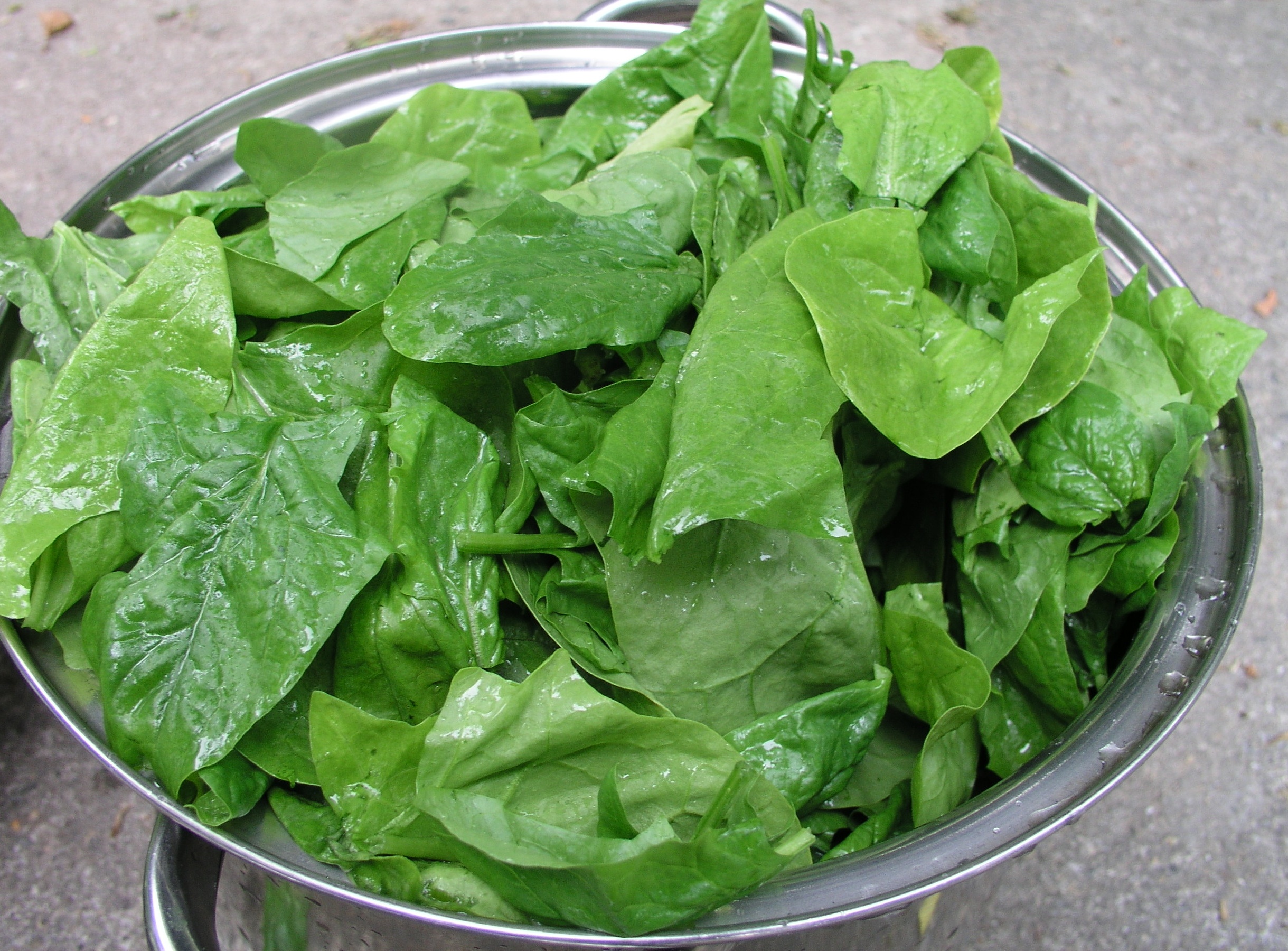
Leaf vegetables, also called leafy greens, pot herbs, vegetable greens, or simply greens, are plant leaves eaten as a vegetable, sometimes accompanied by tender petioles and shoots. Leaf vegetables eaten raw in a salad can be called salad greens. Nearly one thousand species of plants with edible leaves are known. Leaf vegetables most often come from short-lived herbaceous plants, such as lettuce and spinach. Woody plants of various species also provide edible leaves. The leaves of many fodder crops are also edible for humans, but are usually only eaten under famine conditions. Examples include alfalfa, clover, most grasses, including wheat and barley. Food processing, such as drying and grinding into powder or pulping and pressing for juice, may be used to involve these crop leaves in a diet. Leaf vegetables contain many typical plant nutrients, but since they are photosynthetic tissues, their vitamin K levels are particularly notable. Phylloquinone, the most common form ... [...More Info...] [...Related Items...] OR: [Wikipedia] [Google] [Baidu] |
Floodplain
A floodplain or flood plain or bottomlands is an area of land adjacent to a river which stretches from the banks of its channel to the base of the enclosing valley walls, and which experiences flooding during periods of high discharge.Goudie, A. S., 2004, ''Encyclopedia of Geomorphology'', vol. 1. Routledge, New York. The soils usually consist of clays, silts, sands, and gravels deposited during floods. Because the regular flooding of floodplains can deposit nutrients and water, floodplains frequently have high soil fertility; some important agricultural regions, such as the Mississippi river basin and the Nile, rely heavily on the flood plains. Agricultural regions as well as urban areas have developed near or on floodplains to take advantage of the rich soil and fresh water. However, the risk of flooding has led to increasing efforts to control flooding. Formation Most floodplains are formed by deposition on the inside of river meanders and by overbank flow. Whereve ... [...More Info...] [...Related Items...] OR: [Wikipedia] [Google] [Baidu] |
Colombo
Colombo ( ; si, කොළඹ, translit=Koḷam̆ba, ; ta, கொழும்பு, translit=Koḻumpu, ) is the executive and judicial capital and largest city of Sri Lanka by population. According to the Brookings Institution, Colombo metropolitan area has a population of 5.6 million, and 752,993 in the Municipality. It is the financial centre of the island and a tourist destination. It is located on the west coast of the island and adjacent to the Greater Colombo area which includes Sri Jayawardenepura Kotte, the legislative capital of Sri Lanka, and Dehiwala-Mount Lavinia. Colombo is often referred to as the capital since Sri Jayawardenepura Kotte is itself within the urban/suburban area of Colombo. It is also the administrative capital of the Western Province and the district capital of Colombo District. Colombo is a busy and vibrant city with a mixture of modern life, colonial buildings and monuments. Due to its large harbour and its strategic position along th ... [...More Info...] [...Related Items...] OR: [Wikipedia] [Google] [Baidu] |
Estuary
An estuary is a partially enclosed coastal body of brackish water with one or more rivers or streams flowing into it, and with a free connection to the open sea. Estuaries form a transition zone between river environments and maritime environments and are an example of an ecotone. Estuaries are subject both to marine influences such as tides, waves, and the influx of saline water, and to fluvial influences such as flows of freshwater and sediment. The mixing of seawater and freshwater provides high levels of nutrients both in the water column and in sediment, making estuaries among the most productive natural habitats in the world. Most existing estuaries formed during the Holocene epoch with the flooding of river-eroded or glacially scoured valleys when the sea level began to rise about 10,000–12,000 years ago. Estuaries are typically classified according to their geomorphological features or to water-circulation patterns. They can have many different names, such as bays, ... [...More Info...] [...Related Items...] OR: [Wikipedia] [Google] [Baidu] |


