|
Old Douglas Center Historic District
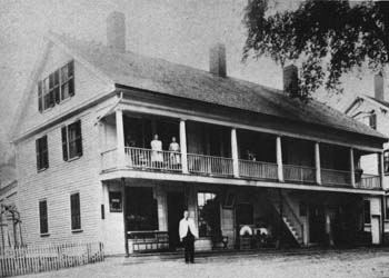
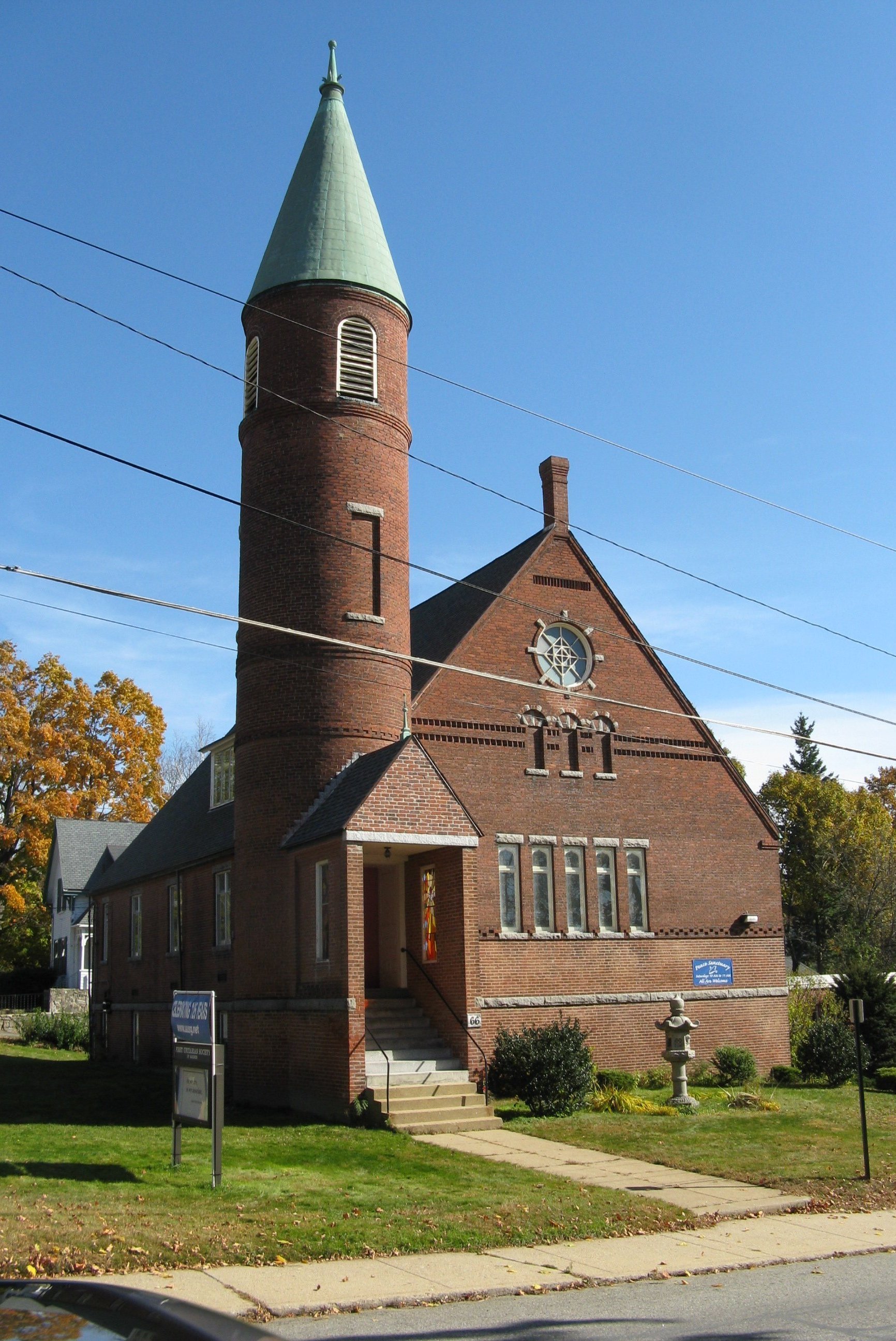
The Old Douglas Center Historic District encompasses the historic heart of Douglas, Massachusetts. The historic district radiates away from the town common, and is bounded by farmlands and more recent 20th-century development. There are 50 contributing resources in the district. Most of the structures are residential houses in Federal and Greek Revival styles. There are a number of institutional buildings, including the 1834 Greek Revival First Congregational Church, the Craftsman-style Douglas Pastime Club building at 22 Church Street, and the c. 1770s Dudley Tavern. The town common and the adjacent Center Cemetery, laid out when the town was incorporated in 1746, are at the center of the district. Douglas was established in the 1730s on land set off from Sherborn, and incorporated in 1746. The town common quickly became the focus of civic activity, and roads were laid out from surrounding towns to that area. A meeting house (parts reused in building the house at 1 S ... [...More Info...] [...Related Items...] OR: [Wikipedia] [Google] [Baidu] |
Douglas, Massachusetts
Douglas is a town in Southern Worcester County, Massachusetts. The population was 8,983 at the 2020 census. It includes the sizable Douglas State Forest, managed by the Department of Conservation and Recreation (DCR). History The name of Douglas was first given to the territory of the town in the year 1746. New Sherborn or "New Sherborn Grant" had previously been its designation, since its first occupancy by the English settlers which was as early as 1715. The first English settlers came primarily from Sherborn, although many hailed from Natick as well. New Sherburn was removed from Suffolk County (or Middlesex county?) to Worcester County at its formation on April 2, 1731. The name Douglas was given in 1746, when Dr. William Douglass, an eminent physician of Boston, in consideration of the privilege of naming the township offered the inhabitants the sum of $500.00 as a fund for the establishment of free schools together with a tract of of land with a dwelling house and ba ... [...More Info...] [...Related Items...] OR: [Wikipedia] [Google] [Baidu] |
Historic District (United States)
Historic districts in the United States are designated historic districts recognizing a group of buildings, Property, properties, or sites by one of several entities on different levels as historically or architecturally significant. Buildings, structures, objects and sites within a historic district are normally divided into two categories, Contributing property, contributing and non-contributing. Districts vary greatly in size: some have hundreds of structures, while others have just a few. The U.S. federal government designates historic districts through the United States Department of the Interior, United States Department of Interior under the auspices of the National Park Service. Federally designated historic districts are listed on the National Register of Historic Places, but listing usually imposes no restrictions on what property owners may do with a designated property. U.S. state, State-level historic districts may follow similar criteria (no restrictions) or may req ... [...More Info...] [...Related Items...] OR: [Wikipedia] [Google] [Baidu] |
Sherborn, Massachusetts
Sherborn is a town in Middlesex County, Massachusetts, United States. Located in Boston's MetroWest region, is in area code 508 and has the ZIP code 01770. As of the 2020 U.S. Census, the town population was 4,401. Sherborn shares its highly ranked public school system with the town of Dover. In addition to Dover, Sherborn is bordered by the towns of Natick, Framingham, Ashland, Millis, Holliston, and Medfield. History Primarily a farming community until the early part of the 20th century, Sherborn now is a bedroom town for Boston and the surrounding hi-tech area. Early settlement The whole Charles River valley from South Natick to the falls at Medway kept its Indian name "Boggestow"; it was sought out by the English because of the abundant marsh grass growing on the wide flood plain. The earliest Sherborn land owned by the English took the form of large (200–1074 acres) grants called "farmes" made by the General Court beginning in the 1640s to individuals for payment ... [...More Info...] [...Related Items...] OR: [Wikipedia] [Google] [Baidu] |
Mumford River
The Mumford River is an U.S. Geological Survey. National Hydrography Dataset high-resolution flowline dataThe National Map accessed April 1, 2011 river in south-central Massachusetts. It is a tributary of the Blackstone River. The river rises from its headwaters in Sutton and Douglas at Manchaug Pond and flows east in a meandering path through a series of ponds (Manchaug, Stevens, Gilboa, Lackey, Whitins, just west of Whitinsville), and joins the Blackstone River in Uxbridge. The river was named for a hunter, named Mumford, at Mendon, who drowned in this river in the 17th century. This occurred before the towns through which this river flows were formed from Mendon. These towns include Douglas, Sutton, Northbridge, and Uxbridge. Mendon was first settled in 1660. This river was a source of water power for a number of mills and factories in America's earliest industrialization, in the historic Blackstone Valley. The Whitin Machine Works grew up at Whitinsville on the Mumford Ri ... [...More Info...] [...Related Items...] OR: [Wikipedia] [Google] [Baidu] |
New England Hurricane Of 1938
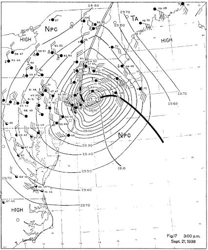
The 1938 New England Hurricane (also referred to as the Great New England Hurricane and the Long Island Express Hurricane) was one of the deadliest and most destructive tropical cyclones to strike Long Island, New York, and New England. The storm formed near the coast of Africa on September 9, becoming a Category 5 hurricane on the Saffir–Simpson hurricane scale, before making landfall as a Category 3 hurricane on Long Island on Wednesday, September 21. It is estimated that the hurricane killed 682 people, damaged or destroyed more than 57,000 homes, and caused property losses estimated at $306 million ($4.7 billion in 2017). Multiple other sources, however, mention that the 1938 hurricane might have really been a more powerful Category 4, having winds similar to Hurricanes Hugo, Harvey, Frederic and Gracie when it ran through Long Island and New England. Also, numerous others estimate the real damage between $347 million and almost $410 million. Damaged trees and buildings w ... [...More Info...] [...Related Items...] OR: [Wikipedia] [Google] [Baidu] |
National Register Of Historic Places
The National Register of Historic Places (NRHP) is the United States federal government's official list of districts, sites, buildings, structures and objects deemed worthy of preservation for their historical significance or "great artistic value". A property listed in the National Register, or located within a National Register Historic District, may qualify for tax incentives derived from the total value of expenses incurred in preserving the property. The passage of the National Historic Preservation Act (NHPA) in 1966 established the National Register and the process for adding properties to it. Of the more than one and a half million properties on the National Register, 95,000 are listed individually. The remainder are contributing resources within historic districts. For most of its history, the National Register has been administered by the National Park Service (NPS), an agency within the U.S. Department of the Interior. Its goals are to help property owners and inte ... [...More Info...] [...Related Items...] OR: [Wikipedia] [Google] [Baidu] |
National Register Of Historic Places Listings In Worcester County, Massachusetts
__NOTOC__ This is a list of the National Register of Historic Places (NRHP) designated in Worcester County, Massachusetts. The locations of NRHP properties and districts for which the latitude and longitude coordinates are included below, may be seen in a map. Cities and towns listed separately The following Worcester County cities and towns have large numbers of sites listed in the National Register of Historic Places. Lists of their sites are on separate pages, linked below. Other cities and towns in central and southern Worcester County Former listing References {{National Register of Historic Places in Massachusetts Buildings and structures in Worcester County, Massachusetts Lists of National Register of Historic Places in Massachusetts by county, Worcester National Register ... [...More Info...] [...Related Items...] OR: [Wikipedia] [Google] [Baidu] |
Historic Districts In Worcester County, Massachusetts
History (derived ) is the systematic study and the documentation of the human activity. The time period of event before the invention of writing systems is considered prehistory. "History" is an umbrella term comprising past events as well as the memory, discovery, collection, organization, presentation, and interpretation of these events. Historians seek knowledge of the past using historical sources such as written documents, oral accounts, art and material artifacts, and ecological markers. History is not complete and still has debatable mysteries. History is also an academic discipline which uses narrative to describe, examine, question, and analyze past events, and investigate their patterns of cause and effect. Historians often debate which narrative best explains an event, as well as the significance of different causes and effects. Historians also debate the nature of history as an end in itself, as well as its usefulness to give perspective on the problems of the p ... [...More Info...] [...Related Items...] OR: [Wikipedia] [Google] [Baidu] |
National Register Of Historic Places In Worcester County, Massachusetts
__NOTOC__ This is a list of the National Register of Historic Places (NRHP) designated in Worcester County, Massachusetts. The locations of NRHP properties and districts for which the latitude and longitude coordinates are included below, may be seen in a map. Cities and towns listed separately The following Worcester County cities and towns have large numbers of sites listed in the National Register of Historic Places. Lists of their sites are on separate pages, linked below. Other cities and towns in central and southern Worcester County Former listing References {{National Register of Historic Places in Massachusetts Buildings and structures in Worcester County, Massachusetts Worcester Worcester may refer to: Places United Kingdom * Worcester, England, a city and the county ... [...More Info...] [...Related Items...] OR: [Wikipedia] [Google] [Baidu] |
Buildings And Structures In Douglas, Massachusetts
A building, or edifice, is an enclosed structure with a roof and walls standing more or less permanently in one place, such as a house or factory (although there's also portable buildings). Buildings come in a variety of sizes, shapes, and functions, and have been adapted throughout history for a wide number of factors, from building materials available, to weather conditions, land prices, ground conditions, specific uses, prestige, and aesthetic reasons. To better understand the term ''building'' compare the list of nonbuilding structures. Buildings serve several societal needs – primarily as shelter from weather, security, living space, privacy, to store belongings, and to comfortably live and work. A building as a shelter represents a physical division of the human habitat (a place of comfort and safety) and the ''outside'' (a place that at times may be harsh and harmful). Ever since the first cave paintings, buildings have also become objects or canvasses of much artistic ... [...More Info...] [...Related Items...] OR: [Wikipedia] [Google] [Baidu] |


.jpg)

