|
Njiru, Nairobi
Njiru is a neighbourhood in the city of Nairobi. Located within the larger Eastlands area of Nairobi, it is approximately east of the central business district. Location Njiru is located approximately east of Nairobi's central business district, straddled by Kangundo Road to the north and south, within the Eastlands area. It was formally part of larger Embakasi division. It borders other neighbourhoods such as Kayole, Ruai, Saika and Mwiki. Electorally, Njiru is placed under Kasarani Constituency; Njiru however, forms part of the larger sub-county of the same name that spans through neighbourhoods as far as from the Outer Ring Road to the farthest east in Kamulu. Overview Njiru is generally a low-income to medium-income, mixed-use neighbourhood located in Nairobi's Eastlands area. The neighbourhood exhibits characteristics of a medium-density suburb, having a mix of storey buildings as well single-family dwellings. Njiru Sub-county The sub-county borrows its name from the ... [...More Info...] [...Related Items...] OR: [Wikipedia] [Google] [Baidu] |
Counties Of Kenya
The Counties of Kenya ( sw, Kaunti za Kenya) are geographical units envisioned by the 2010 Constitution of Kenya as the new units of devolved government that replaced the previous provincial system. The establishment and executive powers of the counties is provided in Chapter Eleven of the Constitution on devolved government, the Constitution's Fourth Schedule and any other legislation passed by the Senate of Kenya concerning counties. The counties are also single-member constituencies for the election of members of parliament to the Senate of Kenya, and special women members to the National Assembly of Kenya. As of 2022, there are 47 counties whose size and boundaries are based on the 47 legally recognized regions established by the 2010 Constitution. Following the re-organization of Kenya's national administration, counties were integrated into a new national administration with the national government posting county commissioners to counties to serve as a collaborative ... [...More Info...] [...Related Items...] OR: [Wikipedia] [Google] [Baidu] |
Outer Ring Road, Nairobi
The Outer Ring Road is a multi-lane highway located in Nairobi, Kenya. Construction funding was initially provided by the African Development Bank in 2013, although construction delays and increased traffic have delayed completion of the project. The highway runs primarily along the Eastlands area of Nairobi and connects major transportation hubs including the Nairobi-Thika Highway, Mombasa Road, and the Jomo Kenyatta International Airport Jomo Kenyatta International Airport , is an international airport in Nairobi, the capital of and largest city in Kenya. The other three important international airports in Kenya include the Kisumu International Airport, Moi International Airp .... In August 2020, Kenya secured a $59 million (KSh6.4 billion) loan from the South Korean Export-Import Bank to build special lanes for high-capacity buses (bus rapid transit) to expand the road's carrying capacity. References {{coord, -1.263077, 36.879066, display=title Nairobi Transport ... [...More Info...] [...Related Items...] OR: [Wikipedia] [Google] [Baidu] |
Dandora
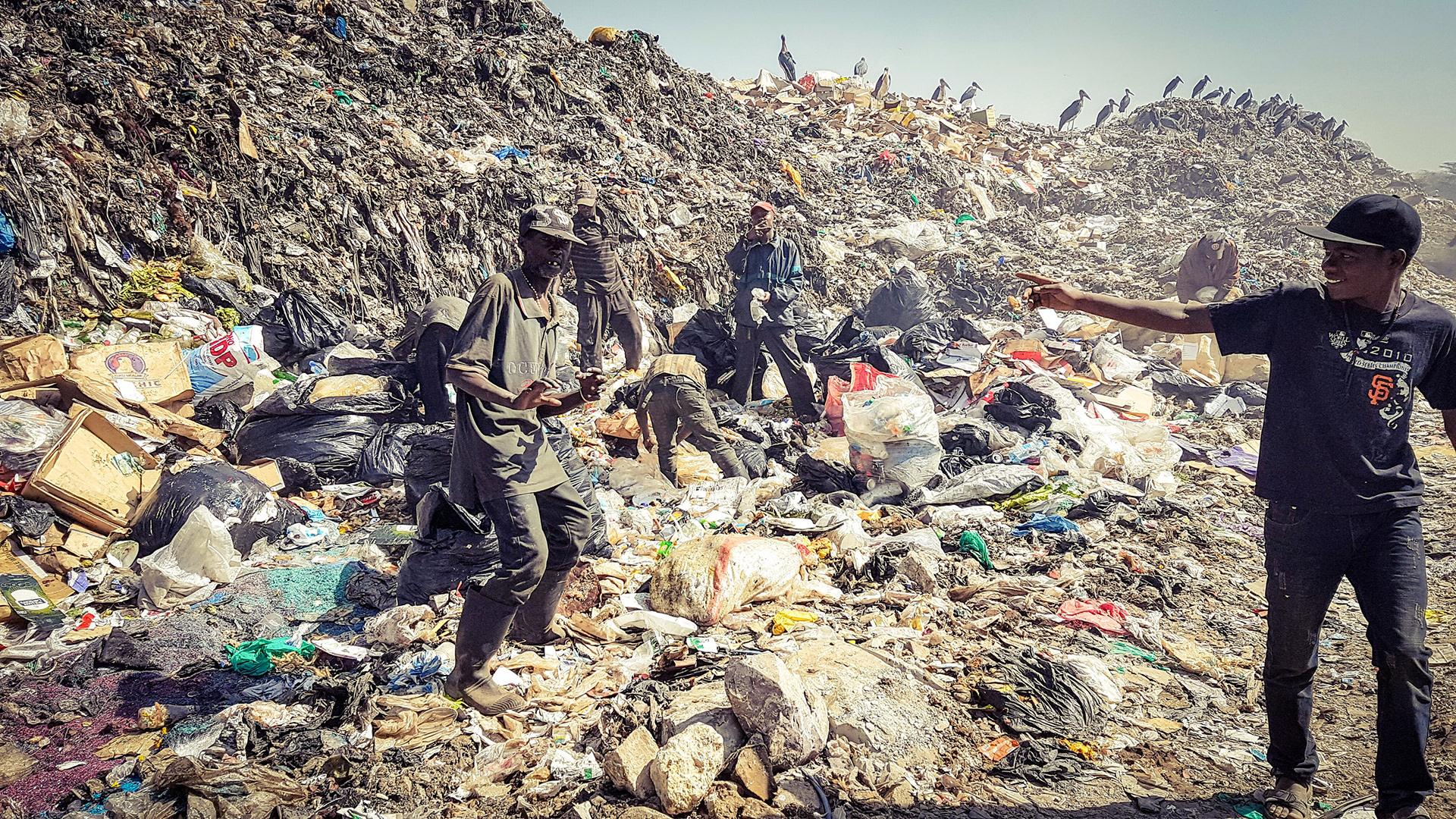
Dandora is a slum in Nairobi. It is part of the Embakasi division. Surrounding neighbourhoods include other slums such Kariobangi, Baba Dogo, Gitare Marigo and Korogocho. Dandora was established in 1977, with partial financing by the World Bank in order to offer a higher standard of housing. The location is in part well known for being the site of the main municipal solid waste dump for Nairobi, which has significant negative health effects on its population. Neighbouring are Kayole, Korogocho, Mathare and Kariobangi. Dump site Nairobi's principle dumping site is situated in Dandora. The Dandora Oxygenation Ponds, a prominent feature on satellite imagery of the area, is Nairobi's main sewage treatment works, and discharges processed water into the Nairobi River. Dandora is divided into 5 phases. Crime thrives here due to high rate of school drop out and the city's dumpsite. The dumpsite is an environmental hazard. The burning of the waste during the night can cause choking. Hou ... [...More Info...] [...Related Items...] OR: [Wikipedia] [Google] [Baidu] |
Kariobangi
Kariobangi is a low-income residential estate in northeastern Nairobi. It consists of both apartments and slum-type dwellings. The name Kariobangi is believed to have come from an English phrase "Carry your bags" that was used by a white settler during the colonial era, that African locals mispronounced. It is split into two parts, Kariobangi North and Kariobangi South. The northern part was constructed first, with first buildings built in 1961. Kariobangi North is part of the Embakasi North electoral constituency. Kariobangi South is in the Embakasi West constituency. Kariobangi falls under two Nairobi sub-counties: with the north in Kasarani and the south in Njiru. Description Kariobangi South Estate is straddled by the Outer Ring Road (on the Eastern part) and the Nairobi – Thika railway line on the Western and southerly parts. Outer Ring Road joins Kenya's main airport - the Jomo Kenyatta International Airport to the Thika Highway - via the GSU round-about on the No ... [...More Info...] [...Related Items...] OR: [Wikipedia] [Google] [Baidu] |
Lang'ata Constituency
Lang'ata Constituency is an electoral constituency in Nairobi City County. It is one of the seventeen constituencies in the county. It consists of southern and southwestern areas of Nairobi. Langata constituency had common boundaries with a now defuct Kibera Division of Nairobi. It is the largest constituency in Nairobi with an area of . It was known as Nairobi South Constituency at the 1963 elections but since 1969 elections it has been known as Lang'ata Constituency. Kibera, Kenya's largest slum, borders Lang'ata Constituency, and was part of it before the creation of Kibra Constituency by the Independent Electoral and Boundaries Commission; though there is a smaller portion of the slum that is still part of Lang'ata Constituency. The affluent suburb of Karen and the mainly middle class Lang'ata suburb are part of Langata Constituency, along with the Nairobi National Park and Lang'ata Barracks, which housed the King's African Rifles during British colonial rule. Members of Pa ... [...More Info...] [...Related Items...] OR: [Wikipedia] [Google] [Baidu] |
Single-family Homes
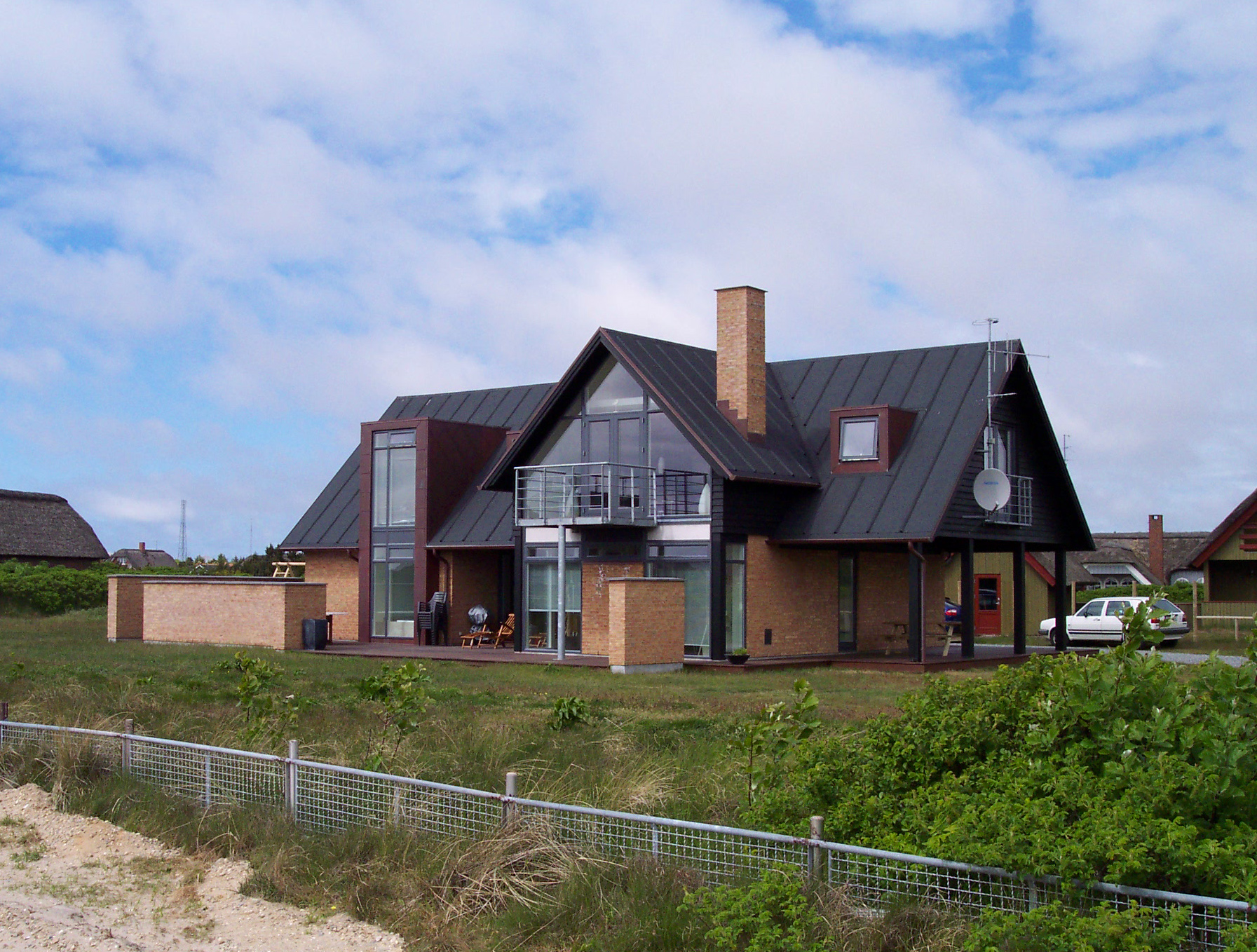
A stand-alone house (also called a single-detached dwelling, detached residence or detached house) is a free-standing residential building. It is sometimes referred to as a single-family home, as opposed to a multi-family residential dwelling. Definitions The definition of this type of house may vary between legal jurisdictions or statistical agencies. The definition, however, generally includes two elements: * Single-family (home, house, or dwelling) means that the building is usually occupied by just one household or family, and consists of just one dwelling unit or suite. In some jurisdictions allowances are made for basement suites or mother-in-law suites without changing the description from "single family". It does exclude, however, any short-term accommodation (hotel, motels, inns), large-scale rental accommodation ( rooming or boarding houses, apartments), or condominia. * Detached (house, home, or dwelling) means that the building does not share wall with oth ... [...More Info...] [...Related Items...] OR: [Wikipedia] [Google] [Baidu] |
Storey
A storey (British English) or story (American English) is any level part of a building with a floor that could be used by people (for living, work, storage, recreation, etc.). Plurals for the word are ''storeys'' (UK) and ''stories'' (US). The terms ''floor'', ''level'', or ''deck'' are used in similar ways, except that it is usual to speak of a "16-''storey'' building", but "the 16th ''floor''". The floor at ground or street level is called the "ground floor" (i.e. it needs no number; the floor below it is called "basement", and the floor above it is called "first") in many regions. However, in some regions, like the U.S., ''ground floor'' is synonymous with ''first floor'', leading to differing numberings of floors, depending on region – even between different national varieties of English. The words ''storey'' and ''floor'' normally exclude levels of the building that are not covered by a roof, such as the terrace on the rooftops of many buildings. Nevertheless, a flat r ... [...More Info...] [...Related Items...] OR: [Wikipedia] [Google] [Baidu] |
Medium-density Housing
Medium-density housing is a term used within urban planning and academic literature to refer to a category of residential development that falls between detached suburban housing and large multi-story buildings. There is no singular definition of medium-density housing as its precise definition tends to vary between jurisdiction. Scholars however, have found that medium density housing ranges from about 25 to 80 dwellings per hectare, although most commonly sits around 30 and 40 dwellings/hectare. Typical examples of medium-density housing include duplexes, triplexes, townhouses, row homes, detached homes with garden suites, and walk-up apartment buildings. In Australia the density of standard suburban residential areas has traditionally been between 8-15 dwellings per hectare. In New Zealand medium-density development is defined as four or more units with an average density of less than 350m2. Such developments typically consist of semi-attached and multi-unit housing (also know ... [...More Info...] [...Related Items...] OR: [Wikipedia] [Google] [Baidu] |
Mixed-use
Mixed-use is a kind of urban development, urban design, urban planning and/or a zoning type that blends multiple uses, such as residential, commercial, cultural, institutional, or entertainment, into one space, where those functions are to some degree physically and functionally integrated, and that provides pedestrian connections. Mixed-use development may be applied to a single building, a block or neighborhood, or in zoning policy across an entire city or other administrative unit. These projects may be completed by a private developer, (quasi-) governmental agency, or a combination thereof. A mixed-use development may be a new construction, reuse of an existing building or brownfield site, or a combination. Use in North America vs. Europe Traditionally, human settlements have developed in mixed-use patterns. However, with industrialization, governmental zoning regulations were introduced to separate different functions, such as manufacturing, from residential areas. Public h ... [...More Info...] [...Related Items...] OR: [Wikipedia] [Google] [Baidu] |
Low-income
Poverty is the state of having few material possessions or little . Poverty can have diverse , , and causes and effects. When evaluating poverty in statistics or economics there are two main measures: '''' compares income against the amount needed to meet [...More Info...] [...Related Items...] OR: [Wikipedia] [Google] [Baidu] |
Kamulu
Kamulu is an informal settlement located from Nairobi's central business district, Kenya, within Nairobi County, Kasarani constituency. It lies on the east side of Jomo Kenyatta International Airport bordering Matungulu to the east, Mwalimu-Farm Ruiru to the north, Njiru to the west, Ruai/Embakasi Ranching on the north west, Drumvale to the south and Mihango/Utawala to the south west. It is in Ruai ward. Local administration Kamulu belongs to the Ruai ward Kasarani constituency of Nairobi County.It is a key part of the Nairobi Metropolitan Zone. Security Kamulu police stations are located in Ngundu and Drumvale. Education Kamulu has two public ECDE institutions, Drumvale Primary School in Sir Henry and Ngundu Primary School in Ngundu. There are two public secondary institutions, Drumvale Secondary School in Drumvale and Nile Road Secondary School in Ngundu. Kamulu also has the public Kasarani Technical and Vocational College. The area also has various private learning institut ... [...More Info...] [...Related Items...] OR: [Wikipedia] [Google] [Baidu] |
Kasarani Constituency
Kasarani Constituency is an electoral constituency in Nairobi. It is one of seventeen constituencies of Nairobi City County. The entire constituency is located within Nairobi City County, and has an area of , making it the second-largest constituency in Nairobi after Lang'ata. It borders Ruaraka, Embakasi Central, Embakasi North, Embakasi East, Roysambu constituencies to the west; Ruiru constituency to the north; Kangundo constituency to the east and Mavoko constituency to the south-east. Kasarani Constituency forms part of two sub-counties; Kasarani Sub-county and Njiru Sub-county. History The constituency was known as Nairobi Northeast Constituency at the 1963 and 1969 elections and as Mathare Constituency from 1974 elections to 1994 by-elections. Up until the 2007 elections it has been known as Kasarani Constituency. Prior to the 2013 general election, Kasarani was divided into four constituencies: Kasarani, Roysambu Constituency, Ruaraka Constituency, and part of ... [...More Info...] [...Related Items...] OR: [Wikipedia] [Google] [Baidu] |


.jpg)
.jpg)

