|
Ngerkeai
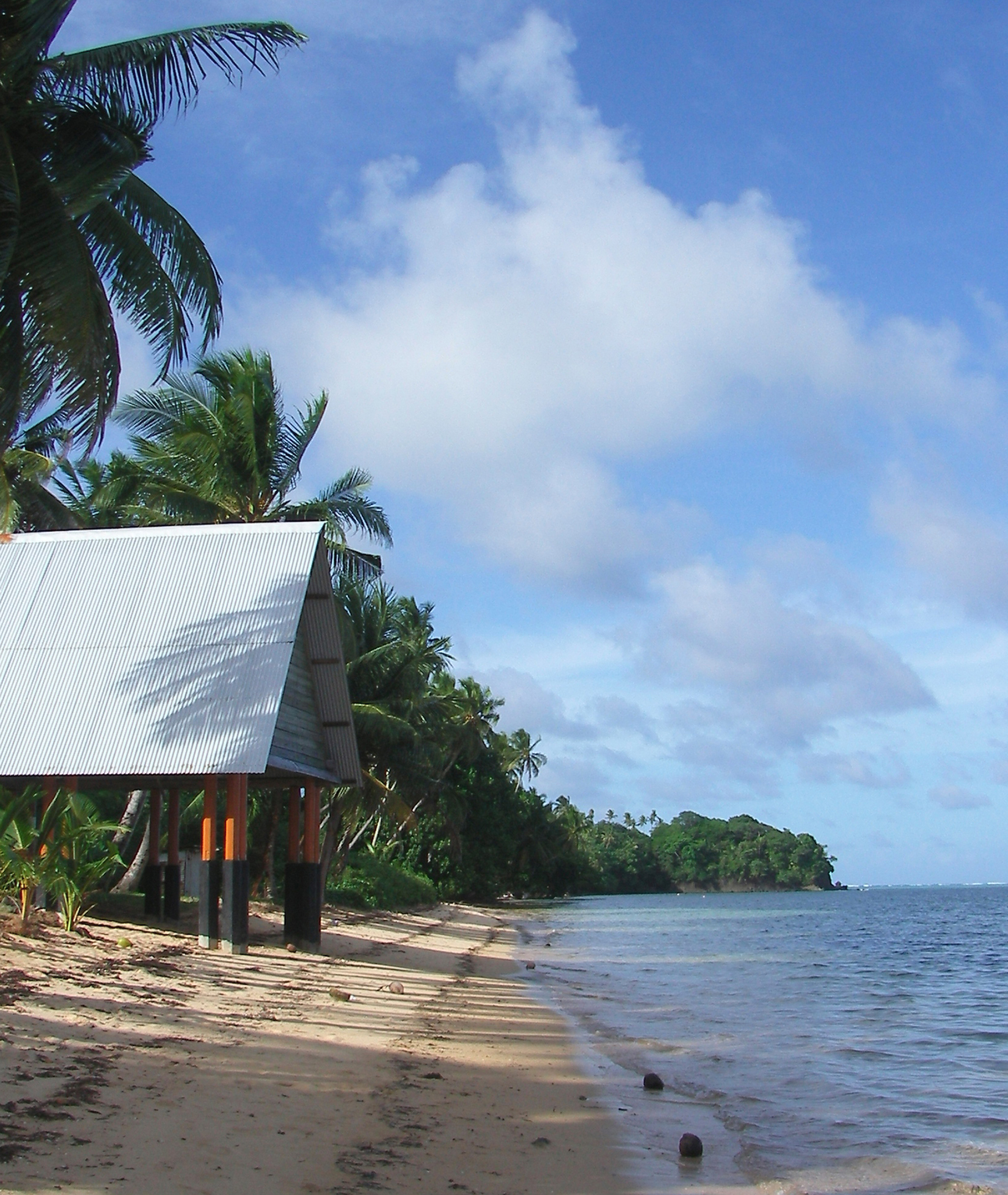
Ngiwal a village in Babeldaob island, the largest island in the island nation of the Republic of Palau. The village is the administrative center of Ngiwal Ngiwal is one of the sixteen states of Palau. It has a population of 282 (census 2015) and an area of 26 km2 On June 21, 2018, Japan ambassador Toshiyuki Yamada gave Japan's multipurpose center to Ngiwal. Geography Ngiwal is situated b ... state of Palau. References Populated places in Palau {{Palau-geo-stub ... [...More Info...] [...Related Items...] OR: [Wikipedia] [Google] [Baidu] |
Ngiwal
Ngiwal is one of the sixteen states of Palau. It has a population of 282 (census 2015) and an area of 26 km2 On June 21, 2018, Japan ambassador Toshiyuki Yamada gave Japan's multipurpose center to Ngiwal. Geography Ngiwal is situated between Melekeok and Ngaraard on the north central east coast of Babeldaob Island. Ngiwal extends from the coast to the Rael Kedam and includes the drainage of the Ngeredekuu River. The Ngeredekuu has its headwaters on the forested east flanks of the Rael Kedam and flows through a large northwest to southeast trending valley. A coastal ridge lies between the Ngeredekuu Valley and a broad sandy plain along the coast. The modern village of Ngiwal is located on a broad section of coastal plain north of the point known as Bkulatabriual and comprises the traditional villages of Ngermechau (south) and Ngercheluuk. The traditional villages were relocated to the coast in the mid-nineteenth century from their positions on the lower slopes of the co ... [...More Info...] [...Related Items...] OR: [Wikipedia] [Google] [Baidu] |
Babeldaob
Babeldaob (also Babelthuap) is the largest island in the island nation of the Republic of Palau. It is in the western Caroline Islands, and the second largest island (after Guam) in the Micronesia region of Oceania. Palau's capital, Ngerulmud, is located on Babeldaob, in Melekeok State. Babeldaob is one of the most underdeveloped populated islands in the Pacific Ocean. The area of Babeldaob, , makes up over 70% of the land area of the entire Republic of Palau. It has about 30% of the country's population, with about 6,000 people living on it. Geography Babeldaob is located northeast of Koror Island, and its northern portion contains the site of the new national capital, Ngerulmud. The southern end of the island is in Airai State, Palau's second-most populous state. The Airai Airport on the island is the nation's principal airport. The Koror-Babeldaob Bridge links Babeldaob Island at Airai to Koror Island. Unlike most of the islands of Palau, Babeldaob is mountainous. It conta ... [...More Info...] [...Related Items...] OR: [Wikipedia] [Google] [Baidu] |
Palau
Palau,, officially the Republic of Palau and historically ''Belau'', ''Palaos'' or ''Pelew'', is an island country and microstate in the western Pacific. The nation has approximately 340 islands and connects the western chain of the Caroline Islands with parts of the Federated States of Micronesia. It has a total area of . The most populous island is Koror, home to the country's most populous city of the same name. The capital Ngerulmud is located on the nearby island of Babeldaob, in Melekeok State. Palau shares maritime boundaries with international waters to the north, the Federated States of Micronesia to the east, Indonesia to the south, and the Philippines to the northwest. The country was originally settled approximately 3,000 years ago by migrants from Maritime Southeast Asia. Palau was first drawn on a European map by the Czech missionary Paul Klein based on a description given by a group of Palauans shipwrecked on the Philippine coast on Samar. Palau islands ... [...More Info...] [...Related Items...] OR: [Wikipedia] [Google] [Baidu] |
.png)
