|
Nga Yiu
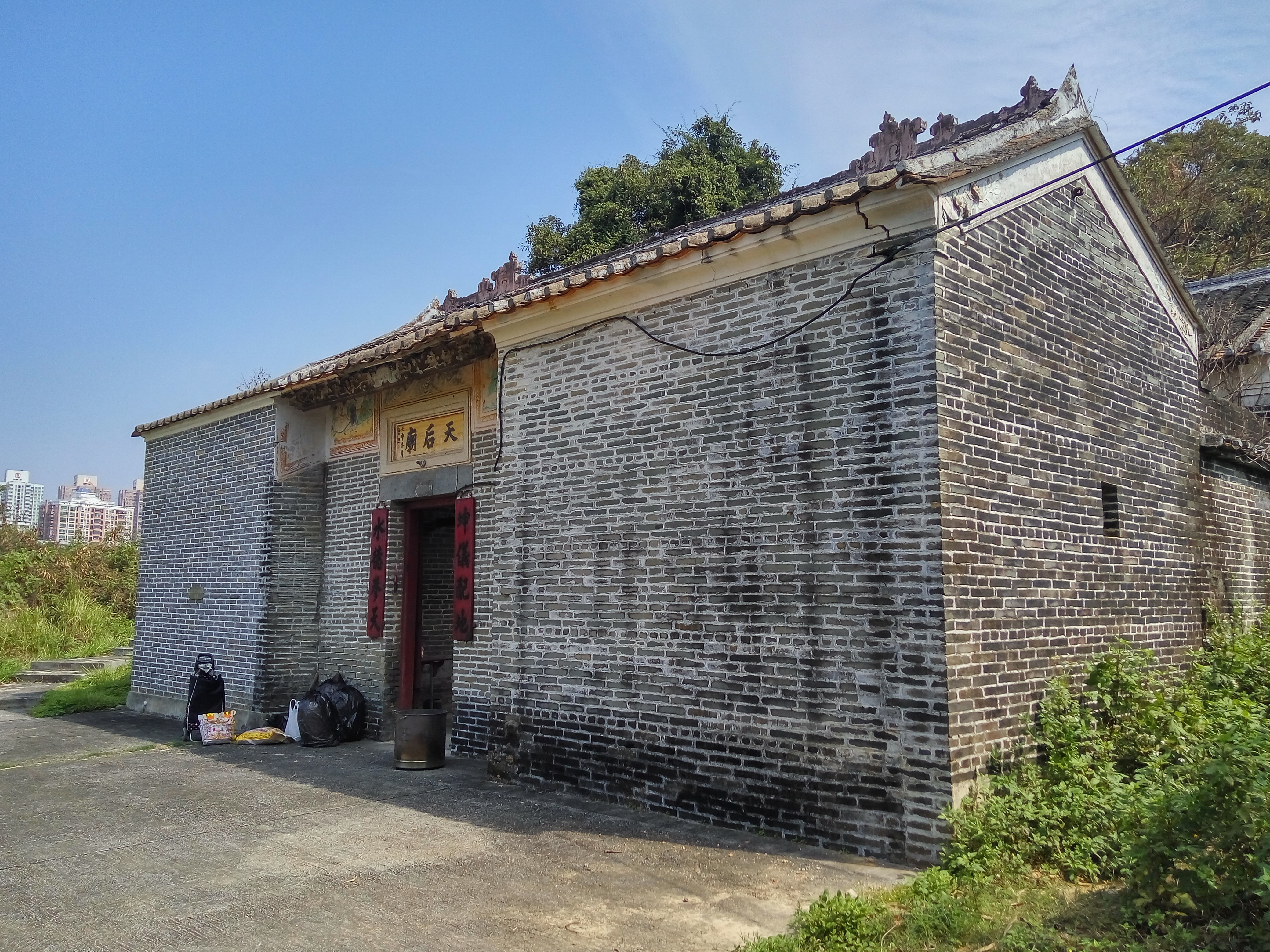
Nga Yiu () or Muk Wu Nga Yiu () is a village in Ta Kwu Ling, North District, Hong Kong. Administration Nga Yiu is a recognized village under the New Territories Small House Policy. Features One of the seven MacIntosh Forts of Hong Kong is located at Nga Yiu. See also * Muk Wu Muk Wu Village () is a Punti walled village in Ta Kwu Ling, in the north of the New Territories across the Man Kam To border crossing point in Hong Kong. Before 4 January 2016, it was inaccessible to non-permit holders (see Closed Area Per ... References External links Delineation of area of existing village Nga Yiu (Ta Kwu Ling) for election of resident representative (2019 to 2022) Villages in North District, Hong Kong {{HongKong-geo-stub ... [...More Info...] [...Related Items...] OR: [Wikipedia] [Google] [Baidu] |
Ta Kwu Ling
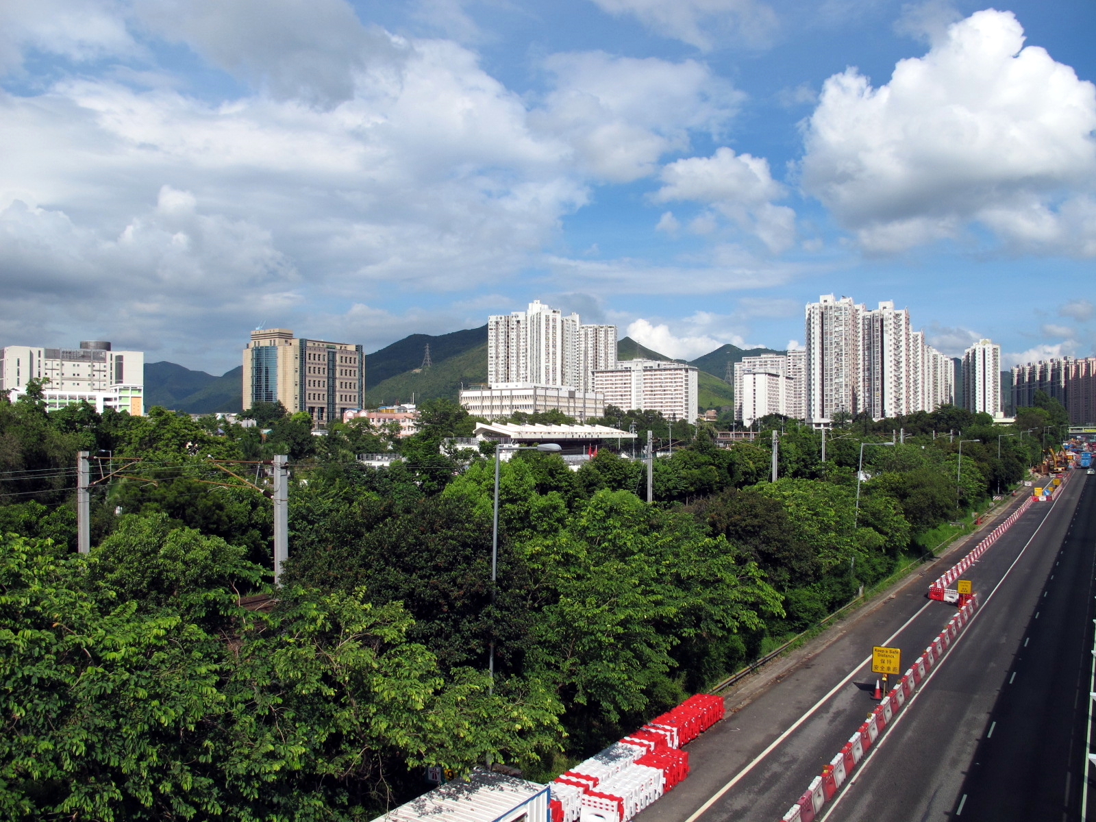
Ta Kwu Ling is an area in the North District, New Territories, Hong Kong, located northeast of Sheung Shui, close to the border with mainland China. Ta Kwu Ling is one of three new development areas currently being planned for North District, in parallel with Fanling North and Kwu Tung North. Its name is frequently heard in weather reports, since it often experiences the highest and lowest daily temperatures in Hong Kong, due to its inland location. Temperatures near occur once every few years, while daily minimum temperatures of or less are not uncommon during winter. One of the three strategic landfills in use in Hong Kong is located in Ta Kwu Ling. Before 4 January 2016, parts of Ta Kwu Ling fell within the Frontier Closed Area and a Closed Area Permit was required. Administration For electoral purposes, Ta Kwu Ling is part of the Sha Ta constituency of the North District Council. It is currently represented by Ko Wai-kei, who was elected in the local elections. ... [...More Info...] [...Related Items...] OR: [Wikipedia] [Google] [Baidu] |
North District, Hong Kong
North District () is the northernmost district of the 18 districts of Hong Kong. It is located in the northeastern part of the New Territories. The new town of Fanling–Sheung Shui is within this district. It had a population of 298,657 in 2001. The district has the second lowest population density in Hong Kong. It borders with Shenzhen city with the Sham Chun River. Most major access points to Mainland China from Hong Kong lie in this district. The North District is about in area. Demographics According to statistics, 70% of the district population lives in the public estates in the Fanling–Sheung Shui New Town. 40,000 villagers living around the two town centres and the main rural towns (Sha Tau Kok and Ta Kwu Ling) account for most residents in the district. Islands of the district * A Chau () * Ap Chau Mei Pak Tun Pai () * Ap Chau Pak Tun Pai () * Ap Chau (, Robinson Island) * Ap Lo Chun () * Ap Tan Pai () * Ap Tau Pai () * Chap Mo Chau () * Cheung Shek Tsu ... [...More Info...] [...Related Items...] OR: [Wikipedia] [Google] [Baidu] |
New Territories
The New Territories is one of the three main regions of Hong Kong, alongside Hong Kong Island and the Kowloon Peninsula. It makes up 86.2% of Hong Kong's territory, and contains around half of the population of Hong Kong. Historically, it is the region described in the Convention for the Extension of Hong Kong Territory. According to that treaty, the territories comprise the mainland area north of Boundary Street on the Kowloon Peninsula and south of the Sham Chun River (which is the border between Hong Kong and Mainland China), as well as over 200 outlying islands, including Lantau Island, Lamma Island, Cheung Chau, and Peng Chau in the territory of HK. Later, after New Kowloon was defined from the area between the Boundary Street and the Kowloon Ranges spanned from Lai Chi Kok to Lei Yue Mun, and the extension of the urban areas of Kowloon, New Kowloon was gradually urbanised and absorbed into Kowloon. The New Territories now comprises only the mainland north of th ... [...More Info...] [...Related Items...] OR: [Wikipedia] [Google] [Baidu] |
Small House Policy
The Small House Policy (SHP, ) was introduced in 1972 in Hong Kong. The objective was to improve the then prevailing low standard of housing in the rural areas of the New Territories. The Policy allows an indigenous male villager who is 18 years old and is descended through the male line from a resident in 1898 of a recognized village in the New Territories, an entitlement to one concessionary grant during his lifetime to build one house. The policy has generated debates and calls for amendments to be made. History The Small House Policy has been in effect ever since 1972 to provide a once-in-a-lifetime small house grant for an indigenous villager who is "a male person at least 18 years old and is descended through the male line from a resident of 1898 of a recognized village (Ding, ) which is approved by the Director of Lands". An indigenous villager therefore enjoys small house concessionary rights (ding rights, ) in building a house of not more than three storeys nor mo ... [...More Info...] [...Related Items...] OR: [Wikipedia] [Google] [Baidu] |
Lands Department
The Lands Department is a government department under the Development Bureau responsible for all land matters in Hong Kong. Established in 1982, it comprises three functional offices: the Lands Administration Office, the Survey and Mapping Office and the Legal Advisory and Conveyancing Office.Land Department"Welcome Message"/ref> See also * ''Hong Kong Guide ''Hong Kong Guide'' () is a Hong Kong atlas published by the Survey and Mapping Office (SMO), Lands Department of Hong Kong Government. From 2005, ''Hong Kong Guide 2005'' includes photomaps in parallel to traditional maps.Lands Department ...'', an atlas published annually by the Survey and Mapping Office References {{authority control Hong Kong government departments and agencies Land management Urban planning in Hong Kong ... [...More Info...] [...Related Items...] OR: [Wikipedia] [Google] [Baidu] |
MacIntosh Forts
The MacIntosh Forts are a group of seven observation posts built in Hong Kong between 1949 and 1953 at the border with China, to safeguard the border against illegal immigrants, when there was an influx of refugees from China due to political instability. The Forts were named after Hong Kong Police Commissioner Duncan William MacIntosh (in office, 1946-1953) who decided to build a chain of observation posts guarded day and night. They have been listed as Grade II historic buildings since 1997.Brief Information on Proposed Grade II Items Description The MacIntosh Forts were built along the whe ...[...More Info...] [...Related Items...] OR: [Wikipedia] [Google] [Baidu] |
Muk Wu
Muk Wu Village () is a Punti walled village in Ta Kwu Ling, in the north of the New Territories across the Man Kam To border crossing point in Hong Kong. Before 4 January 2016, it was inaccessible to non-permit holders (see Closed Area Permit). These were obtained in Fanling, Sheung Shui Closed Area Permit police station. As the name suggests, originally the village had fertile land with trees and streams derived from the Chinese characters: "wood" (); "lake" (). This name derived from the location on the northern periphery right next to the border fence; the Shenzhen River is only a few feet away. Administration Muk Wu is a recognized village under the New Territories Small House Policy. It is one of the villages represented within the Ta Kwu Ling District Rural Committee. For electoral purposes, Muk Wu is part of the Sha Ta constituency, which is currently represented by Ko Wai-kei. Features The village road meanders down into the village court and main door. This gate ... [...More Info...] [...Related Items...] OR: [Wikipedia] [Google] [Baidu] |


