|
New Zealand State Highway 76
State Highway 76 (SH 76) is a state highway in Christchurch, New Zealand. This highway was gazetted in 2012 after stage 1 of the Christchurch Southern Motorway was completed. Beforehand, much of SH 76 was part of SH 73 and included the former two-lane Christchurch Arterial Motorway, which was upgraded to four lanes. SH 76 includes the entire length of the Christchurch Southern Motorway and forms the most direct route from the south of Christchurch to the city centre and Lyttelton. Route The highway currently begins at a grade separated intersection with SH 74 on the northern approach to the Lyttelton road tunnel. It travels east to west through suburban Christchurch via Port Hills Road, Opawa Road and Brougham Street. This section of road used to be part of SH 73 and the speed limit is mostly . At the western end of Brougham Street at the Collins Street/Simeon Street lights, the Christchurch Southern Motorway commences. The speed limit here is . Midway up the motorwa ... [...More Info...] [...Related Items...] OR: [Wikipedia] [Google] [Baidu] |
Christchurch–Lyttelton Motorway
The Christchurch–Lyttelton Motorway, also known as Tunnel Road, is part of the road network connecting Christchurch, New Zealand with its port at Lyttelton. It is part of State Highway 74. Route The northern terminus is a roundabout on Ferry Road, a few hundred metres southeast of an intersection with the Christchurch ring route. The motorway immediately crosses the Ōpāwaho / Heathcote River and is carried on an embankment south across its swampy floodplain. The northern section is two lane, unlit and is relatively lightly trafficked, with the majority of traffic entering at a grade-separated parclo interchange with Port Hills Road which connects via the Opawa Expressway to the north and west. South of the interchange the motorway climbs the western side of the Heathcote Valley, with a crawler lane and passing through some cuttings. The access road to Horotane valley, a side valley of the Heathcote, passes beneath the motorway, connecting to Port Hills Road which continues ... [...More Info...] [...Related Items...] OR: [Wikipedia] [Google] [Baidu] |
Ferrymead
Ferrymead is a suburb south-east of Christchurch, New Zealand. It is the main thoroughfare for reaching the eastern sea suburbs such as Sumner, as well as home to a number of cliff-top residences and businesses along the estuary front. After the 2011 Canterbury earthquake, a number of prominent Christchurch businesses relocated to the Ferrymead area, making it into a secondary business hub. Geography Ferrymead is located on the Avon Heathcote Estuary, close to the point where the Heathcote River drains into the estuary, and three km west of the eventual outflow into Pegasus Bay. To the north lie the oxidation ponds from Christchurch's main sewage treatment works, which are within a large wildlife refuge and are inhabited by many species of bird life. To the south lie the Port Hills. The suburb is named for the ferry that operated across the Heathcote River during the early period of settlement. After the 2011 Christchurch earthquake, a number of businesses have relocated to ... [...More Info...] [...Related Items...] OR: [Wikipedia] [Google] [Baidu] |
Australia GE2-3
Australia, officially the Commonwealth of Australia, is a sovereign country comprising the mainland of the Australian continent, the island of Tasmania, and numerous smaller islands. With an area of , Australia is the largest country by area in Oceania and the world's sixth-largest country. Australia is the oldest, flattest, and driest inhabited continent, with the least fertile soils. It is a megadiverse country, and its size gives it a wide variety of landscapes and climates, with deserts in the centre, tropical rainforests in the north-east, and mountain ranges in the south-east. The ancestors of Aboriginal Australians began arriving from south east Asia approximately 65,000 years ago, during the last ice age.religious_traditions_in_the_world._Australia's_history_of_Australia.html" ;"title="The_Dreaming.html" "title="Aboriginal_Art.html" "title="he Story of Australia's People, Volume 1: The Rise and Fall of Ancient Australia, Penguin Books Australia Ltd., Vic., ... [...More Info...] [...Related Items...] OR: [Wikipedia] [Google] [Baidu] |
Cashmere, New Zealand
Cashmere is a suburb which rises above the southern end of the city of Christchurch in New Zealand's South Island. Geography Cashmere is situated on the north side of the Port Hills, immediately above the southern terminus of Colombo Street and approximately five kilometres south of the city centre. The suburb's location on the Port Hills offers it a commanding view over the rest of the mostly flat city. Cashmere's proximity to the rest of the Port Hills has also made it a favourite for recreation, with the upper reaches of the suburb dominated by Victoria Park with its multiple bike and walking tracks and connections to further tracks running the length of the Port Hills. Above Victoria Park is Sugarloaf, a peak which is the location of a transmission tower used for local radio and TV stations. The Ōpāwaho / Heathcote River marks the northern extent of the suburb, flowing roughly along the base of the Port Hills. History Cashmere takes its name from Sir John Cracroft Wils ... [...More Info...] [...Related Items...] OR: [Wikipedia] [Google] [Baidu] |
Beckenham, New Zealand
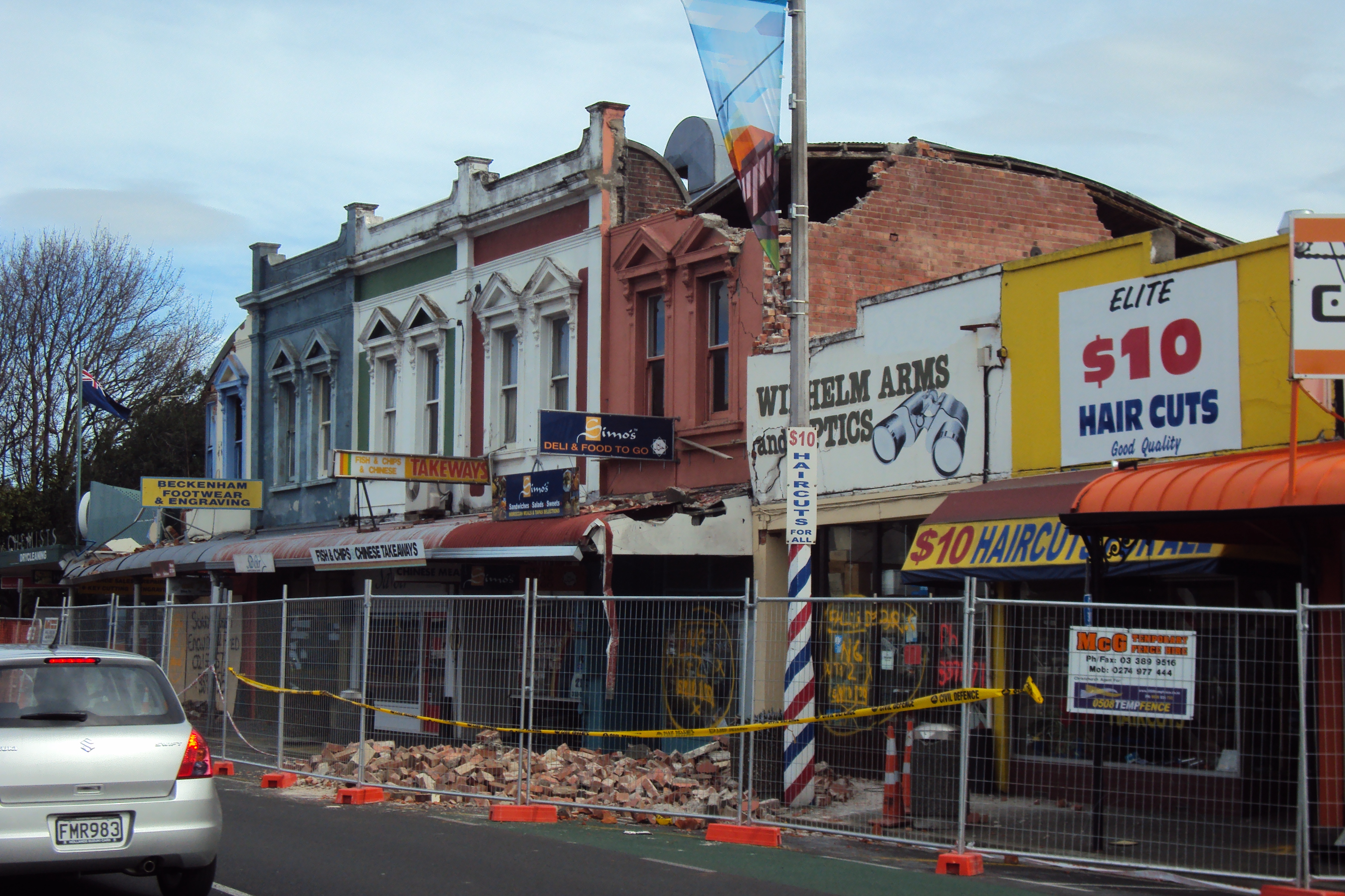
Beckenham is an inner suburb of Christchurch, New Zealand, located three kilometres south of the city centre. The Ōpāwaho / Heathcote River winds through this predominantly residential suburb, a section of which is often referred to locally as the "Beckenham Loop". Beckenham is bounded by Sydenham to the north, Somerfield to the west, Cashmere and Huntsbury to the south and St Martins to the east. History European settlement of Beckenham dates back to the first arrival of British settlers in Christchurch, and was part of the initial allocation of land to the new settlers. The Beckenham area, which was known as Middle Heathcote at the time, was divided into two plots of farmland - the first of which was purchased by brothers Stephen and James Fisher, with the other going to James' father-in-law. Stephen Fisher named the area Beckenham after the English town of the same name, although the name Fisherton was also used in honour of the brothers. The brothers and their family f ... [...More Info...] [...Related Items...] OR: [Wikipedia] [Google] [Baidu] |
Colombo Street
Colombo Street is a main road of the city of Christchurch, New Zealand. It runs south-north through the centre of Christchurch with a break at Cathedral Square. As with many other central Christchurch streets, it is named for a colonial Anglican bishopric, Colombo, Sri Lanka in what at the time was known as Ceylon. Parts of the street which run through Sydenham were known as Addison Street during the 1880s, and some parts were known as Colombo Road. Geography Colombo Street runs for due north-south. As with most Christchurch north-south streets, its numbering starts at its southern end. Like most of central Christchurch, the street is flat. It starts south of the city centre at a roundabout junction with Dyers Pass Rd, which descends from the Port Hills and Cashmere and Centaurus Roads, which run along the foot of the hills. For its first few hundred metres the street runs north-northeast through the suburb of Somerfield, before turning due north and crossing the Heathcote ... [...More Info...] [...Related Items...] OR: [Wikipedia] [Google] [Baidu] |
Spreydon
Spreydon is a suburb of Christchurch, New Zealand, south-south-west of Cathedral Square. The most central street through Spreydon is Barrington Street. Spreydon is flanked by the suburbs Hoon Hay, Sydenham, and Lower Cashmere. State Highway 76 marks the northern boundary of the suburb, including the eastern end of the Christchurch Southern Motorway. Spreydon was constituted as a borough in 1911. It merged into the city of Christchurch in 1921.Canterbury places – South Christchurch ''Te Ara – the Encyclopedia of New Zealand''. History Prior to European settlement, the Spreydon area was predominantly swampland connected to the nearby Ōpāwaho / Heat ...[...More Info...] [...Related Items...] OR: [Wikipedia] [Google] [Baidu] |
St Martins, New Zealand
St Martins is an inner suburb of Christchurch, New Zealand, located two kilometres south of the city centre. Primarily a residential area, St Martins is host to a small shopping mall complex situated on Wilsons Road, the main thoroughfare through the suburb. Amenities include the Hansen, Centaurus and Saint Martins Parks. Geography As with most suburbs of Christchurch, St Martins does not have clearly defined boundaries and is unbound by law. The Ōpāwaho / Heathcote River is commonly used as a boundary for St Martins on three sides, separating the suburb from Beckenham to the west, Sydenham and Waltham to the north, and Opawa to the east. However, portions of these suburbs are also occasionally referred to as St Martins. The southern boundary of St Martins is traditionally associated with the bottom of the Port Hills, with the neighbouring suburbs of Huntsbury and Hillsborough occupying the hilly terrain to the south. Prior to European settlement, much of the suburb consi ... [...More Info...] [...Related Items...] OR: [Wikipedia] [Google] [Baidu] |
New Brighton, New Zealand
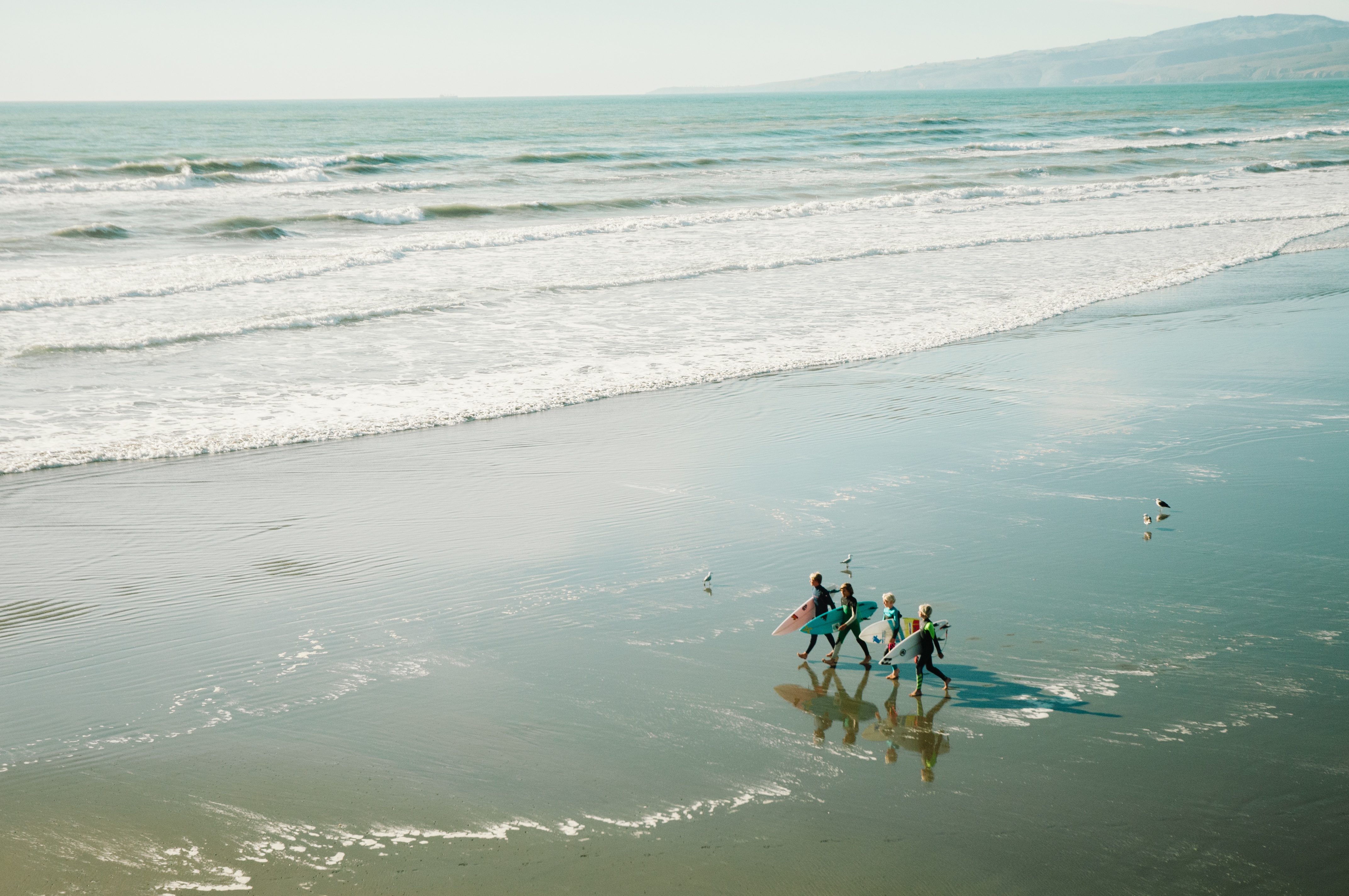
New Brighton is a coastal suburb of Christchurch, New Zealand, east of the Christchurch Central City, city centre. It is one of eastern Christchurch's main entertainment and tourist centres, with its architecturally unique pier and scenic coastline. The 2011 Christchurch earthquakes caused significant damage in the area. History Māori connections New Brighton is of cultural significance for the local iwi or tribe Ngāi Tahu who are the kaitiaki or guardians of this takiwa or area. Ngāi Tūāhuriri hapū, a sub-tribe of Ngāi Tahu, hold manawhenua status (territorial rights) in respect to this area. Te Tai o Mahaanui refers to the coast and surrounding land of which New Brighton is a part. Naming The naming of New Brighton was apparently done on the 'spur of the moment' by William Fee, an early settler of the area. When Guise Brittan, the Waste Lands Commissioner, visited the area in December 1860, he was recognised and Fee chalked 'New Brighton' on a wooden plank, supp ... [...More Info...] [...Related Items...] OR: [Wikipedia] [Google] [Baidu] |
New Zealand Road Sign W10-4
New is an adjective referring to something recently made, discovered, or created. New or NEW may refer to: Music * New, singer of K-pop group The Boyz Albums and EPs * ''New'' (album), by Paul McCartney, 2013 * ''New'' (EP), by Regurgitator, 1995 Songs * "New" (Daya song), 2017 * "New" (Paul McCartney song), 2013 * "New" (No Doubt song), 1999 *"new", by Loona from '' Yves'', 2017 *"The New", by Interpol from ''Turn On the Bright Lights'', 2002 Acronyms * Net economic welfare, a proposed macroeconomic indicator * Net explosive weight, also known as net explosive quantity * Network of enlightened Women, a conservative university women's organization * Next Entertainment World, a South Korean film distribution company Identification codes * Nepal Bhasa language ISO 639 language code * New Century Financial Corporation (NYSE stock abbreviation) * Northeast Wrestling, a professional wrestling promotion in the northeastern United States Transport * New Orleans Lakefront A ... [...More Info...] [...Related Items...] OR: [Wikipedia] [Google] [Baidu] |
Waltham, New Zealand
Waltham is an inner suburb of Christchurch, New Zealand, located approximately two kilometres south-east of the city centre. State Highway 76, part of Christchurch's ring road system, and known there as Brougham Street, runs through the suburb, as does the Lyttelton Line rail corridor. Approximate boundaries of the suburb are Waltham Road, Moorhouse Avenue, Ferry Road, Ensors Road, and the Heathcote River. Waltham was originally part of the Sydenham borough and was incorporated into the City of Christchurch in 1903 when the borough was ended. In the early 1980s local residents and the Christchurch city council tried to name the western part of the suburb, Charleston, between Ferry Road and Ensors Road. This was done to maintain the residential nature of the area against perceived industrial expansion. The attempt was partly successful and that area today is referred to as both Waltham and Charleston. The full suburb is a mixture of residential and both light and heavy industry ... [...More Info...] [...Related Items...] OR: [Wikipedia] [Google] [Baidu] |
Linwood, New Zealand
Linwood is an inner suburb of the city of Christchurch, New Zealand. It lies to the east of the city centre, mostly between Ferry Road and Linwood Avenue, two of the major arterial roads to the eastern suburbs of Christchurch. History Linwood was given its name by Joseph Brittan, who purchased rural section 300 in Avonside. The adjoining rural section 301 was to be part of the farm, but the right was sold but probably farmed with rural section 300 and was eventually bought back by his son in 1874. To this was added a small part of section 30 to give access in 1855 and 21-year lease for the adjoining sections in 1862 giving a total area of about 380 acres (about 150ha). He called the farm Linwood, as he was from Linwood, Hampshire. Brittan built Linwood House at 30 Linwood Avenue in 1857, which stood there until demolition following the February 2011 Christchurch earthquake. Christchurch lacked an accessible port before the construction of the Lyttelton Rail Tunnel in 1867. This ... [...More Info...] [...Related Items...] OR: [Wikipedia] [Google] [Baidu] |


