|
New York State Route 82
New York State Route 82 (NY 82) is a state highway in the eastern Hudson Valley of New York (state), New York in the United States. It begins at an junction with New York State Route 52, NY 52 northeast of the Fishkill (village), New York, village of Fishkill, bends eastward towards Millbrook, New York, Millbrook, and then returns westward to end at a junction with U.S. Route 9 (New York), U.S. Route 9, New York State Route 9H, NY 9H, and New York State Route 23, NY 23 at Bell Pond, near Claverack, New York, Claverack. NY 82 meets the Taconic State Parkway twice; it is the only state highway that has more than one exit with the parkway. The road spans two counties: Dutchess County, New York, Dutchess and Columbia County, New York, Columbia. NY 82 was assigned as part of the 1930 state highway renumbering (New York), 1930 renumbering of state highways in New York. An alternate route of NY 82 from South Millbrook to Pine Plains (CDP), New Y ... [...More Info...] [...Related Items...] OR: [Wikipedia] [Google] [Baidu] |
Brinckerhoff, New York
Brinckerhoff is a hamlet and census-designated place (CDP) in Dutchess County, New York, United States. The population was 2,900 at the 2010 census. It is part of the Poughkeepsie– Newburgh– Middletown, NY Metropolitan Statistical Area as well as the larger New York–Newark–Bridgeport, NY- NJ- CT- PA Combined Statistical Area. Brinckerhoff is in the northeastern corner of the town of Fishkill, northeast of the village of Fishkill. Geography Brinckerhoff is located in southwestern Dutchess County at (41.550393, -73.869501). Most of the community is in the northeastern section of the town of Fishkill, but a small part extends north into the southeastern corner of the town of Wappinger. According to the United States Census Bureau, the CDP has a total area of , of which , or 0.47%, is water. Demographics As of the census of 2000, there were 2,734 people, 999 households, and 767 families residing in the CDP. The population density was 2,518.5 per square mi ... [...More Info...] [...Related Items...] OR: [Wikipedia] [Google] [Baidu] |
Claverack, New York
Claverack is a town in Columbia County, New York, United States. The population was 6,021 at the 2010 census. The town name is a corruption for the Dutch word “Klaverakker” for "Clover Fields" or "Clover Reach". In 1705, the first discovery of a mastodon tooth occurred here. The town is centrally located in Columbia County, east of the city of Hudson. History Claverack was originally approximately in area and was known as the Lower Manor of Rensselaer. The town was formed in 1778 from the older District of Claverack. In 1782, the town lost some of its land to the new town of Hillsdale. The town was reduced again in 1785 to form the city of Hudson. In 1779 Washington Seminary was founded in the town by the local Dutch Reformed pastor. Prominent former students at the school include U.S. President Martin Van Buren. In the nineteenth century the school was renamed Claverack College, and it closed in 1902. The many 18th century homes in the area include the 1786 William Hen ... [...More Info...] [...Related Items...] OR: [Wikipedia] [Google] [Baidu] |
Ancramdale, New York
Ancramdale is a hamlet in Columbia County, New York, United States. The community is located along New York State Route 82 in the southeast corner of the county, southeast of Hudson. Ancramdale has a post office A post office is a public facility and a retailer that provides mail services, such as accepting letters and parcels, providing post office boxes, and selling postage stamps, packaging, and stationery. Post offices may offer additional serv ... with ZIP code 12503. References Hamlets in Columbia County, New York Hamlets in New York (state) {{ColumbiaCountyNY-geo-stub ... [...More Info...] [...Related Items...] OR: [Wikipedia] [Google] [Baidu] |
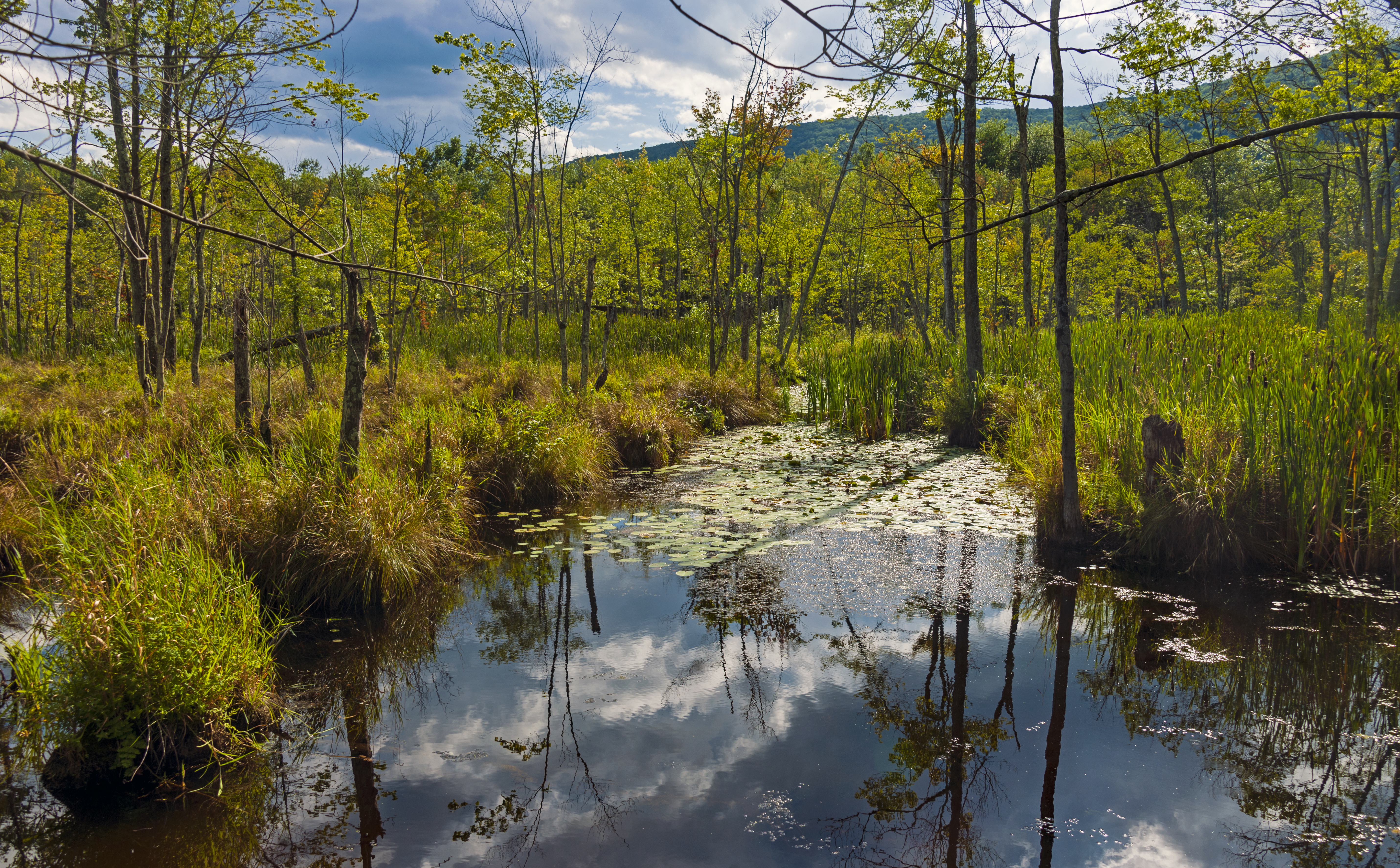
Hudson Valley Landscape From NY 82 Near Ancram
Hudson may refer to: People * Hudson (given name) * Hudson (surname) * Henry Hudson, English explorer * Hudson (footballer, born 1986), Hudson Fernando Tobias de Carvalho, Brazilian football right-back * Hudson (footballer, born 1988), Hudson Rodrigues dos Santos, Brazilian football defensive midfielder * Hudson (footballer, born 1996), Hudson Felipe Gonçalves, Brazilian football midfielder Places Argentina * Hudson, Buenos Aires Province, a town in Berazategui Partido Australia * Hudson, Queensland, a locality in the Cassowardy Coast Region Canada * Hudson, Ontario * Hudson, Quebec * Hudson, Edmonton, Alberta United States * Hudson, Colorado, a town in Weld County * Hudson, Florida, a census-designated place in Pasco County * Hudson, Illinois, a town in McLean County * Hudson, Indiana, a town in Steuben County * Hudson, Iowa, a town in Black Hawk County * Hudson, Kansas, a town in Stafford County * Hudson, Maine, a town in Penobscot County * Hudson, Massachusett ... [...More Info...] [...Related Items...] OR: [Wikipedia] [Google] [Baidu] |
New York State Route 199
New York State Route199 (NY199) is a state highway located in the Hudson Valley of the U.S. state of New York (state), New York. Its western end is in Ulster County, New York, Ulster County, where it begins as the continuation of the short U.S. Route 209 expressway east of its interchange with U.S. Route 9W; after crossing the Kingston–Rhinecliff Bridge over the Hudson River the rest of the highway crosses northern Dutchess County, New York, Dutchess County. As it does it passes through downtown Red Hook (village), New York, Red Hook and Pine Plains (CDP), New York, Pine Plains, reaching its eastern end at U.S. Route 44 in New York, U.S. Route 44 and New York State Route 22, State Route 22 southwest of Millerton, New York, Millerton in the upper Harlem Valley. The portion of Route 199 east of its junction with the Taconic State Parkway was originally part of the Ulster and Delaware Turnpike, a toll road linking Bainbridge (town), New York, Bainbridge to Salisbury, Connecticut. T ... [...More Info...] [...Related Items...] OR: [Wikipedia] [Google] [Baidu] |
Wappinger Creek
Wappinger Creek is a U.S. Geological Survey. National Hydrography Dataset high-resolution flowline dataThe National Map, accessed October 3, 2011 creek which runs from Thompson Pond to the Hudson River at New Hamburg in Dutchess County, New York, United States. It is the longest creek in Dutchess County, with the largest watershed in the county. Overview The creek flows in a north–south direction on the eastern side of the Hudson River. The creek's source is Thompson Pond near Pine Plains, and it heads southwestward towards its mouth in the Hudson River near New Hamburg. Along the way, it goes through fluctuations in width and follows an erratic path. The initial of the creek runs through rocky, steep, wooded terrain. However, as it approaches the Hudson it enters the river's tidal range, and has sandbars, mudflats and marshes. The creek is also home to numerous species, and is an important spawning area for anadromous fish, which thrive in the creek between April ... [...More Info...] [...Related Items...] OR: [Wikipedia] [Google] [Baidu] |
Bloomvale Historic District
The Bloomvale Historic District is located east of the hamlet of Salt Point, New York, United States. It is a collection of buildings and structures around the intersection of Clinton Corners Road (Dutchess County Route 13), state highway NY 82 and the East Branch of Wappinger Creek. Most of it is in the Town of Pleasant Valley; the eastern portion is in the Town of Washington. The village (and thus the district) was named after Isaac Bloom, a landowner and politician in the area during and after the Revolutionary War who built a Federal style mansion and operated the first mill on the creek (and thus sometimes historically known as Bloom's Mill or Bloomdale). By the mid-19th century it had grown into a small industrial town around what was now a cotton mill. After a fire destroyed the mill, the community faded away in the early 20th century. A later owner was able to use the remaining facilities as a cider mill until almost the middle of the century. In 1991 the dam, the rem ... [...More Info...] [...Related Items...] OR: [Wikipedia] [Google] [Baidu] |
New York State Route 343
New is an adjective referring to something recently made, discovered, or created. New or NEW may refer to: Music * New, singer of K-pop group The Boyz (South Korean band), The Boyz Albums and EPs * New (album), ''New'' (album), by Paul McCartney, 2013 * New (EP), ''New'' (EP), by Regurgitator, 1995 Songs * New (Daya song), "New" (Daya song), 2017 * New (Paul McCartney song), "New" (Paul McCartney song), 2013 * New (No Doubt song), "New" (No Doubt song), 1999 *"new", by Loona from ''Yves (single album), Yves'', 2017 *"The New", by Interpol from ''Turn On the Bright Lights'', 2002 Acronyms * Net economic welfare, a proposed macroeconomic indicator * Net explosive weight, also known as net explosive quantity * Network of enlightened Women, a conservative university women's organization * Next Entertainment World, a South Korean film distribution company Identification codes * Nepal Bhasa language ISO 639 language code * New Century Financial Corporation (NYSE stock abbreviation ... [...More Info...] [...Related Items...] OR: [Wikipedia] [Google] [Baidu] |
New York State Route 55
New York State Route 55 (NY 55) is a east-west state highway in southern New York, running from the Pennsylvania state line at the Delaware River in Barryville to the Connecticut state line at Wingdale. It is the only other state highway beside NY 7 to completely cross the state, from border to border, in an east–west direction, although NY 17 does so and is partially east–west. It also forms a concurrency when it joins US 44 for 33 miles (53 km). Together with NY 52, which it closely parallels and briefly joins in downtown Liberty, it forms the latitudinal backbone of the Hudson Valley region for non-interstate traffic. It offers the traveler a wide variety of landscapes, from farmlands, mountains and forests to the urban center of Poughkeepsie. Sights along the way include two of New York City's major reservoirs in the Catskills, a dramatic crossing of the Shawangunk Ridge, and the Mid-Hudson Bridge. Route description Sull ... [...More Info...] [...Related Items...] OR: [Wikipedia] [Google] [Baidu] |
New York State Route 376
New York State Route 376 (NY 376) is a state highway located entirely within Dutchess County in the Hudson Valley region of New York in the United States. The route begins at an intersection with NY 52 in East Fishkill and passes north through Hopewell Junction and Red Oaks Mill on its way to the city of Poughkeepsie. It ends at a junction with U.S. Route 44 (US 44) and NY 55 east of the city limits in Arlington, a hamlet in the town of Poughkeepsie. NY 376 was originally designated as part of NY 39 in the mid-1920s. In the 1930 renumbering of state highways in New York, the East Fishkill–Poughkeepsie portion of NY 39 was renumbered to New York State Route 202. NY 202 was renumbered to NY 376 in 1935 to avoid numerical duplication with the new US 202. Route description NY 376 begins at an intersection with NY 52 in the hamlet of East Fishkill. It proceeds north about , crossing over Fishkill Cree ... [...More Info...] [...Related Items...] OR: [Wikipedia] [Google] [Baidu] |
East Fishkill, New York
East Fishkill is a town on the southern border of Dutchess County, New York, United States. The population was 29,707 at the 2020 census. The town was once the eastern portion of the town of Fishkill. Hudson Valley Research Park is located in the town. The site once known as IBM East Fishkill, once housed 27 divisions and 4,700 regular employees for IBM Microelectronics, which latter became a part of GlobalFoundries. IBM produced microchips at this facility and it also house the advanced, automated processor fabrication facility where IBM's "Cell" processor was co-developed. History The Wiccopee, a sub-tribe of the Wappinger Native Americans, once lived in what is now the East Fishkill hamlet of Wiccopee. One early European settler arrived around 1759. Platt Rogers Spencer, the inventor of the leading U.S. business-handwriting style of the 19th Century, was born in the area in 1800. The town of East Fishkill was established in 1849 from the eastern part of the town of ... [...More Info...] [...Related Items...] OR: [Wikipedia] [Google] [Baidu] |
Fishkill Creek
Fishkill Creek (also Fish Kill, from the Dutch ''vis kille'', for "fish creek") is a tributary of the Hudson River in Dutchess County, New York, United States. At U.S. Geological Survey. National Hydrography Dataset high-resolution flowline dataThe National Map , accessed October 3, 2011 it is the second longest stream in the county, after Wappinger Creek. It rises in the town of Union Vale and flows generally southwest to a small estuary on the Hudson just south of Beacon. Part of its watershed is in Putnam County to the south. Sprout Creek, the county's third-longest creek, is its most significant tributary. Whaley and Sylvan lakes and Beacon Reservoir, its largest, deepest and highest lakes, are among the bodies of water within the watershed. While the creek is not impounded for use in any local water supply, it remains a focus of regional conservation efforts as a recreational and aesthetic resource, especially since the lower Fishkill watershed has been extensively devel ... [...More Info...] [...Related Items...] OR: [Wikipedia] [Google] [Baidu] |


