|
Nevada State Route 227
State Route 227 (SR 227), most of which is more commonly known locally as Lamoille Highway, is a state highway in Elko County in northeastern Nevada. Route description SR 227 starts at SR 535/Interstate 80 Business Loop (Idaho Street) in the center of downtown Elko. From there, it follows 5th Street southeast, which at this point is 4 lanes wide with a center turn lane and a 25 mph speed limit. After passing Silver Street, it loses the center turning lane and crosses a bridge over the Union Pacific Railroad and the Humboldt River. It narrows down to 2 lanes after passing Wilson Avenue, then loses the center turning lane beyond Carlin Court, all the while turning towards a northeasterly direction and becoming known as Lamoille Highway. After passing 12th Street, it regains 2 additional lanes and begins to gradually turn back towards the south as it begins ascending Lamoille Summit. The speed limit, 35 mph at 12th Street, gradually increases to 55 mph by the time ... [...More Info...] [...Related Items...] OR: [Wikipedia] [Google] [Baidu] |
Elko, Nevada
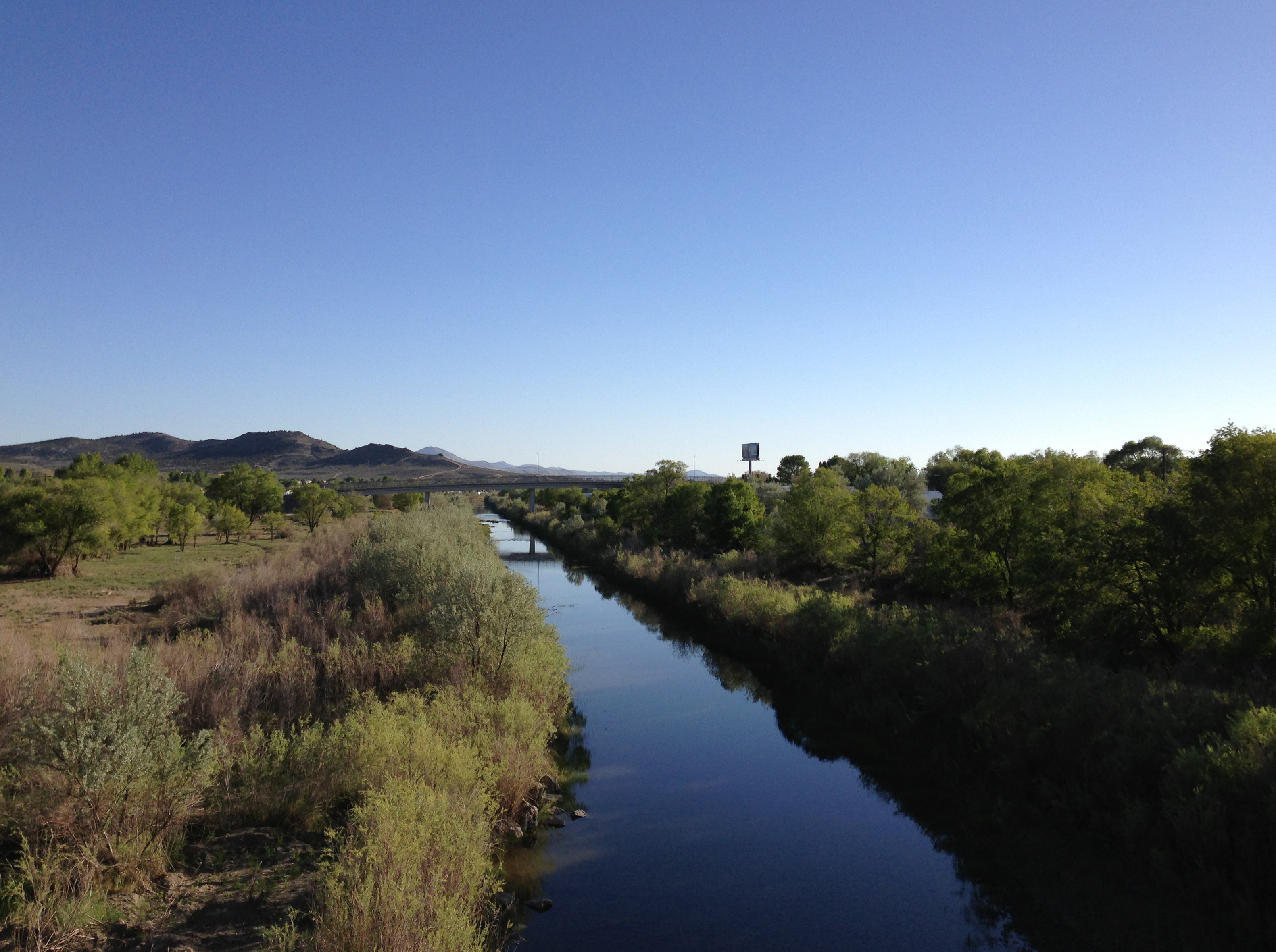
Elko (Shoshoni: Natakkoa, "Rocks Piled on One Another") is the largest city in and county seat of Elko County, Nevada, United States. With a 2020 population of 20,564, Elko is currently growing at a rate of 0.31% annually and its population has increased by 11.86% since the 2010 Census, which recorded a population of 18,297. Elko serves as the economic hub of the Ruby Valley, a region with a population of over 55,000. Elko is from Lamoille Canyon and the Ruby Mountains, dubbed the Swiss Alps of Nevada, providing year round access to recreation including hiking, skiing, hunting, and more than 20 alpine lakes. The city straddles the Humboldt River. Most of the residents in Elko live within the Tree Streets, houses lined with trees and greenery. Spring Creek, Nevada, serves as a bedroom community from the city with a population of 13,805. Elko is the principal city of the Elko Micropolitan Statistical Area, a micropolitan area that covers Elko and Eureka counties. It is the la ... [...More Info...] [...Related Items...] OR: [Wikipedia] [Google] [Baidu] |
Jiggs, Nevada
Jiggs is an unincorporated community in Elko County, Nevada, United States, in the Mound Valley at the south end of State Route 228. It contains a very small school. The community is part of the Elko Micropolitan Statistical Area. Jiggs is located at the southwestern foothills of the extensive Ruby Mountains; the community is about 30 miles south of Elko. History The site was formerly a year-round camp for Native Americans gathering pine nuts. Name Prior names for the settlement had been Mound Valley, Skelton, and Hylton—unfortunately, all at the same time. Since no one could seem to agree on a name, postal authorities chose a new name from a list submitted by local ranchers for the new post office to be established December 18, 1918. One of the names was Jiggs, a character in the "Bringing Up Father" comic strip, who was always bickering with his wife Maggie. Film history * The town was featured in a 1965 Volkswagen advertising campaign in which the entire population (5 ... [...More Info...] [...Related Items...] OR: [Wikipedia] [Google] [Baidu] |
List Of State Highways In Nevada
The following is a list of all State Routes that have existed in the U.S. state of Nevada since July 1, 1976. All active state-numbered highways in this list are maintained by the Nevada Department of Transportation. __TOC__ Primary routes (0–499) Primary state routes are assigned three-digit numbers based upon the county in which the majority of the route resides (or, in some instances, the county of the major town on the route). State routes in a county are grouped together with similar numbers, which are assigned in order based upon alphabetical order of county names. SR 28, SR 88 and SR 140 are the three exceptions to this numbering scheme—all three are highways that continue into an adjoining state, making SR 28 and SR 88 the only state highways assigned a two-digit number. Urban routes (500–699) Urban state routes, numbered in the 500s and 600s, typically ... [...More Info...] [...Related Items...] OR: [Wikipedia] [Google] [Baidu] |
Nevada State Route 46
Nevada ( ; ) is a state in the Western region of the United States. It is bordered by Oregon to the northwest, Idaho to the northeast, California to the west, Arizona to the southeast, and Utah to the east. Nevada is the 7th-most extensive, the 32nd-most populous, and the 9th-least densely populated of the U.S. states. Nearly three-quarters of Nevada's people live in Clark County, which contains the Las Vegas–Paradise metropolitan area, including three of the state's four largest incorporated cities. Nevada's capital is Carson City. Las Vegas is the largest city in the state. Nevada is officially known as the "Silver State" because of the importance of silver to its history and economy. It is also known as the "Battle Born State" because it achieved statehood during the Civil War (the words "Battle Born" also appear on its state flag); as the "Sagebrush State", for the native plant of the same name; and as the " Sage-hen State". The name means "snowy" in Spanish, refe ... [...More Info...] [...Related Items...] OR: [Wikipedia] [Google] [Baidu] |

.png)