|
Nevada Heights, Spokane
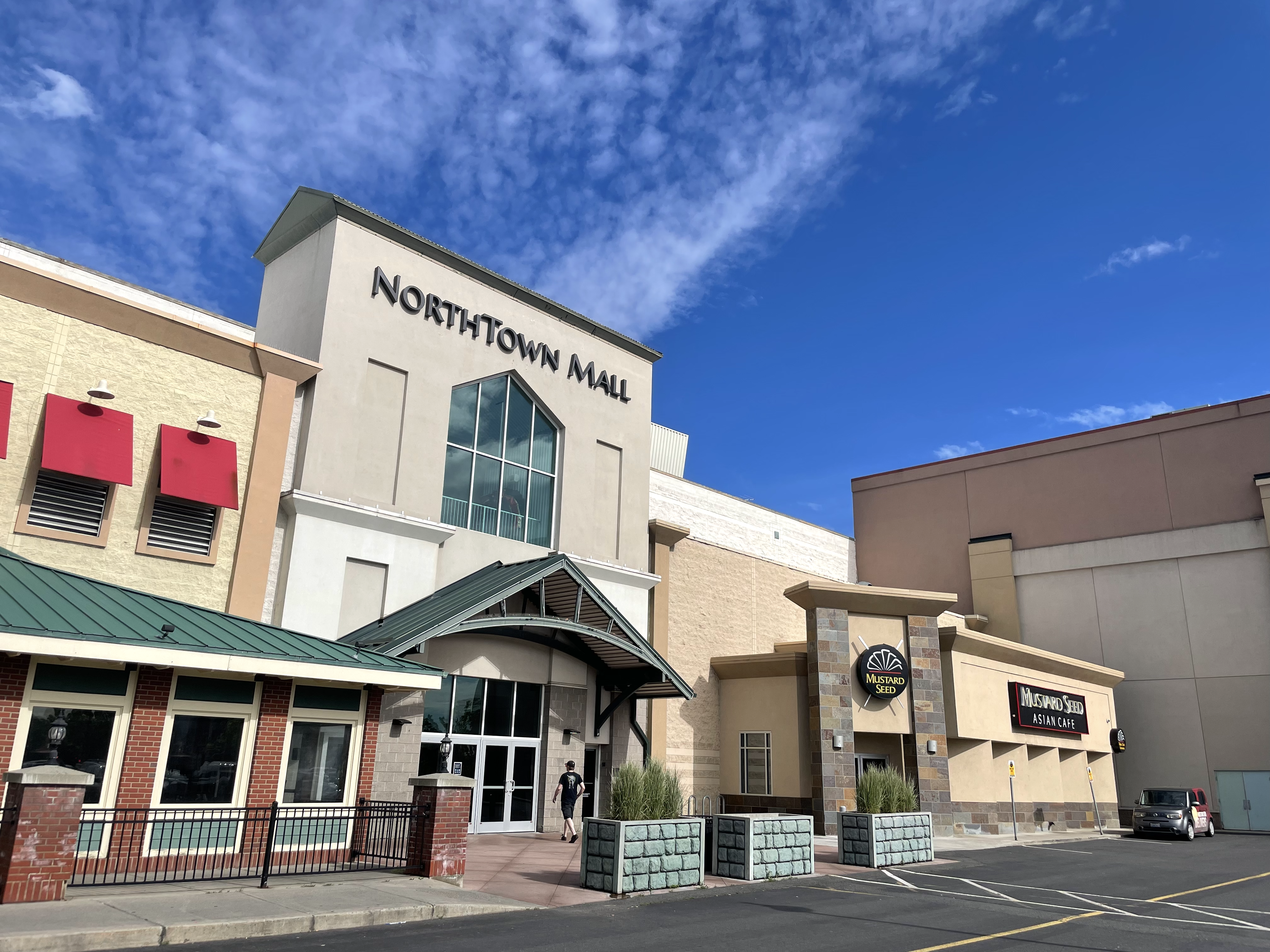
Nevada Heights is a neighborhood in Spokane, Washington, located on the north side of the city. Its southern border is atop a bluff that runs east–west across the north side of the city, which gives the neighborhood its name. Nevada Street, a major north–south arterial, runs through the neighborhood. The neighborhood is largely residential, but also home to large retail districts, medical facilities, schools and parks. Being surrounded by the city of Spokane on all sides, the neighborhood is well integrated into urban area. History The Spokane people have lived in what is now Nevada Heights for hundreds of years prior to the arrival of European settlers. With the arrival of pioneers and settlers in the 1880s, development began in the southern areas of Nevada Heights. Originally known as Lidgerwood Park, after John and Harriet Lidgerwood, early settlers who purchased and subdivided the land in the area, development began in 1889. Along with the Lidgerwoods, Patrick and Ida Byrn ... [...More Info...] [...Related Items...] OR: [Wikipedia] [Google] [Baidu] |
Neighborhoods In Spokane, Washington
Neighborhoods in Spokane, Washington are officially grouped by the Spokane City Council into three main city council districts: 1, 2, and 3. Each city council district contains multiple, official neighborhoods that are recognized with a neighborhood council. Informally, neighborhoods are colloquially grouped by local geographical, geological, cultural, or historical features (such as South Hill, North Side, Five Mile, Hillyard, South Perry, etc.) The list of neighborhoods below is organized based on the official designations by the City of Spokane. Unofficial neighborhoods and districts are listed within the official neighborhood in which they are located. Neighborhoods in Spokane range from the late Victorian-era to the contemporary. With major peopling coming from the city's origins as a major rail center in the early 20th century, before the automobile, this has had an indelible impact on the urban form and character of Spokane and its neighborhoods. As the primary mode o ... [...More Info...] [...Related Items...] OR: [Wikipedia] [Google] [Baidu] |
Logan, Spokane
Logan is a neighborhood in Spokane, Washington. It is located immediately northeast of Downtown Spokane and is home to Gonzaga University. The Spokane River runs along its eastern and southern edge. Due to its proximity to the city center, Logan is home to some of the oldest and densest areas in the city. It is known for its tree-lined streets, historic buildings and population of college students. In addition to numerous individual properties, there are two historic districts listed on the National Register of Historic Places located within Logan: the Desmet Avenue Warehouse Historic District and the Mission Avenue Historic District. Geography Logan is one of the central neighborhoods in Spokane, being located immediately adjacent to downtown and the rest of the city center. The Spokane River flows past Logan, first along the eastern edge of the neighborhood before turning to the west and providing the southern boundary. A stretch of Spokane Falls Boulevard and Trent Avenue act a ... [...More Info...] [...Related Items...] OR: [Wikipedia] [Google] [Baidu] |
Tumtum, Washington
Tumtum is an unincorporated community in Stevens County, Washington, United States. Tumtum is located along the Long Lake of the Spokane River, also known as Lake Spokane, and Washington State Route 291 northwest of Spokane Spokane ( ) is the largest city and county seat of Spokane County, Washington, United States. It is in eastern Washington, along the Spokane River, adjacent to the Selkirk Mountains, and west of the Rocky Mountain foothills, south of the Ca .... Tumtum has a ZIP code of 99034. Tumtum is a Chinook Jargon term meaning "heart/soul". References Unincorporated communities in Stevens County, Washington Unincorporated communities in Washington (state) {{StevensCountyWA-geo-stub ... [...More Info...] [...Related Items...] OR: [Wikipedia] [Google] [Baidu] |
Washington State Route 291
State Route 291 is a long state highway located in Spokane and Stevens counties in the U.S. state of Washington. The highway begins at an intersection with concurrent highways U.S. Route 2 (US 2) and US 395 and travels northwest to an intersection with SR 231. It connects the north side of Spokane with a string of communities along the north bank of the Spokane River including Nine Mile Falls, Suncrest and Tumtum. Route description SR 291 begins at an intersection with US 2 / US 395, named North Division Street, and West Francis Avenue in the Town and Country and North Hill neighborhoods of Spokane. The highway travels west along West Francis Avenue through western Spokane, before turning northwest along North Nine Mile Road in the Balboa/South Indian Trail neighborhood. The highway begins to parallel the Spokane River as it passes a golf course and then through the community of Nine Mile Falls. The highway continues northwest, entering St ... [...More Info...] [...Related Items...] OR: [Wikipedia] [Google] [Baidu] |
Colville, Washington
Colville is a city in Stevens County, Washington, United States. The population was 4,673 at the 2010 census. It is the county seat of Stevens County. History John Work, an agent for The Hudson's Bay Company, established Fort Colvile near the Kettle Falls fur trading site in 1825. It replaced the Spokane House and the Flathead Post as the main trading center on the Upper Columbia River. The area was named for Andrew Colvile, a Hudson's Bay Company governor. The fort continued to be used for some time as a center of mining and transportation/supply support associated with gold rushes in the 1850s, particularly the Fraser Canyon Gold Rush. After it was abandoned in 1870, some buildings stood until as late as 1910. The site was flooded by Lake Roosevelt after construction of the Grand Coulee Dam on the Columbia River. Americans also wanted to operate in this territory. In the first half of the 19th century, the Oregon boundary dispute (or Oregon question) arose as a result of co ... [...More Info...] [...Related Items...] OR: [Wikipedia] [Google] [Baidu] |
US 395
U.S. Route 395 (US 395) is a U.S. Route in the western United States. The southern terminus of the route is in the Mojave Desert at Interstate 15 near Hesperia. The northern terminus is at the Canada–US border near Laurier, where the road becomes Highway 395 upon entering British Columbia, Canada. Before 1964, the route extended south to San Diego. I-15, I-215, and California State Route 163 replaced the stretch of 395 that ran from San Diego to Hesperia through Riverside and San Bernardino. "Old Highway 395" can be seen along or near I-15 in many locations before it branches off at Hesperia to head north. It has also been referred to as the "Three Flags Route." The route runs through the U.S. states of California, Nevada, Oregon, and Washington. US 395 runs along the Eastern Sierra in the Owens Valley and crosses through the Modoc Plateau along its routing. The route started out as a spur of U.S. Route 195 and ran north from Spokane. As a result, the route never intersec ... [...More Info...] [...Related Items...] OR: [Wikipedia] [Google] [Baidu] |
Newport, Washington
Newport is a city in and the county seat of Pend Oreille County, Washington, United States. The population was 2,126 at the 2010 census. History Newport was given its name in 1890 because it was selected as a landing site for the first steamboat on the Pend Oreille River. Newport was officially incorporated on April 13, 1903. The first river bridge was built in 1906, and was replaced in 1926, and again in 1988. On July 14, 2015, an explosion took place at Zodiac Aerospace. Five people were injured, and people were urged to stay at least 2000 feet from the facility. One of the most important historic buildings is "Kelly's Bar and Grill" which has been operating since 1894 with only minor breaks, making it the second oldest bar in the state. Newport began a tourism campaign in 1987 that involved planting hundreds of national, state, and city flags to transform itself into the "City of Flags". The scheme was abandoned a decade later after issues with theft and maintenance ... [...More Info...] [...Related Items...] OR: [Wikipedia] [Google] [Baidu] |
US 2
U.S. Route 2 or U.S. Highway 2 (US 2) is an east–west U.S. Highway spanning across the northern continental United States. US 2 consists of two segments connected by various roadways in southern Canada. Unlike some routes, which are disconnected into segments because of encroaching Interstate Highways, the two portions of US 2 were designed to be separate in the original 1926 highway plan. The western segment of US 2 begins at an interchange with Interstate 5 (I-5) and State Route 529 (Maple Street) in Everett, Washington, and ends at I-75 in St. Ignace, Michigan. The eastern segment of US 2 begins at US 11 in Rouses Point, New York and ends at I-95 in Houlton, Maine. As its number indicates, it is the northernmost east–west U.S. Route in the country. It is the lowest primary-numbered east–west U.S. Route, whose numbers otherwise end in zero, and was so numbered to avoid a US 0. Sections of US 2 in New England were once ... [...More Info...] [...Related Items...] OR: [Wikipedia] [Google] [Baidu] |
North Central High School (Spokane, Washington)
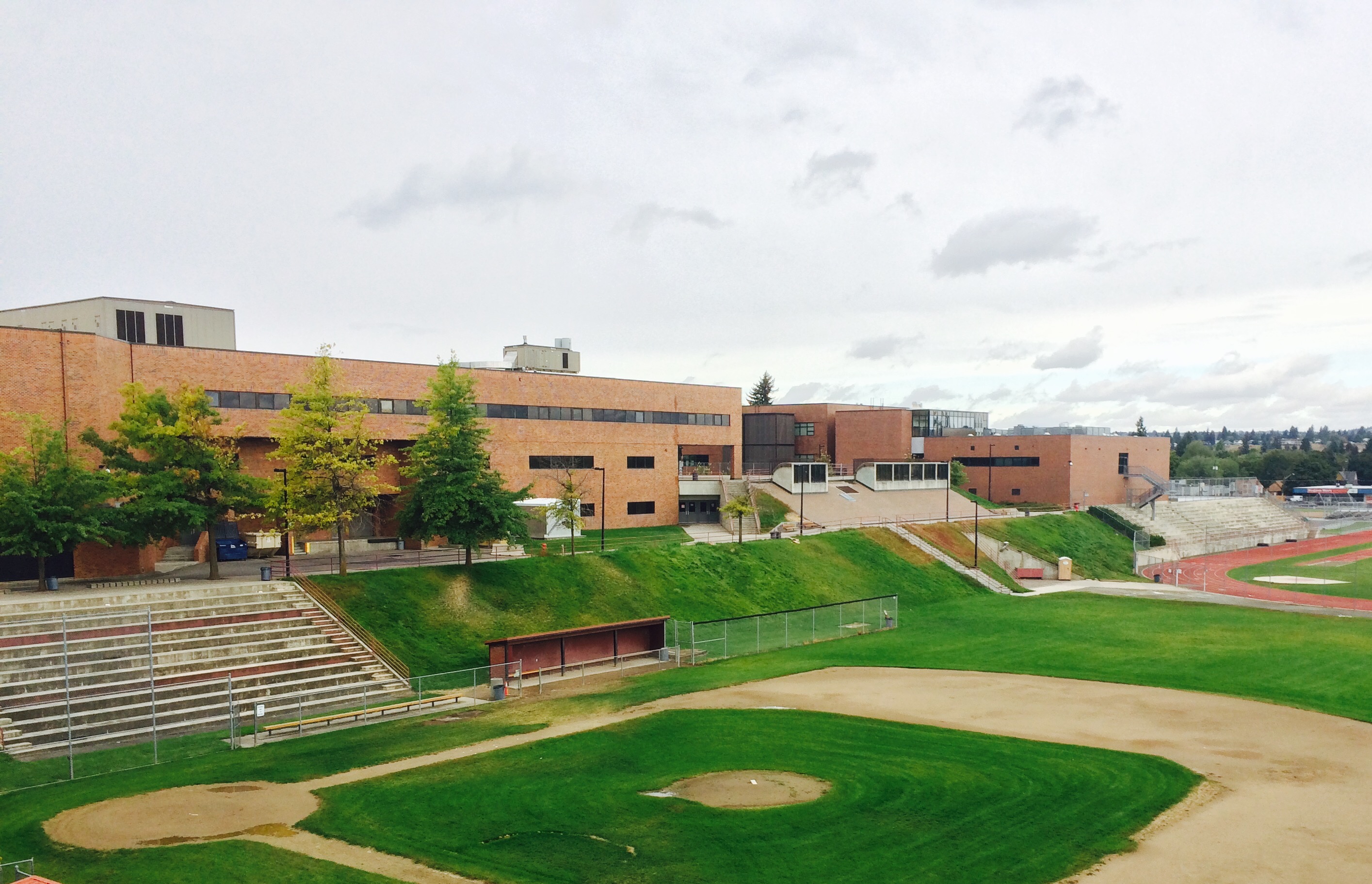
North Central High School is a four-year public high school in Spokane, Washington in the Spokane Public Schools District 81. It opened in 1908 as the second high school in the city; the original structure was razed and the new building opened in 1981. Each year ''Newsweek'' magazine ranks the top public high schools in the nation when it comes preparing students for college and life. In 2009, NC ranked 692 in the nation. In 2010, 608th in the nation. In 2011, NC ranked 697th in the nation, 10th in the state of Washington and 1st in Eastern Washington. North Central was home to the 2008 Nike Cross Nationals champions. History North Central High School opened in September 1908 with only half a wing and 12 classrooms ready for the 200 newly enrolled students. Events in the school's history include the outbreak of scarlet fever that led to every student being checked twice a week by throat specialist, visits by William Jennings Bryan who spoke of the importance of public speaking and ... [...More Info...] [...Related Items...] OR: [Wikipedia] [Google] [Baidu] |
John R
John R. (born John Richbourg, August 20, 1910 - February 15, 1986) was an American radio disc jockey who attained fame in the 1950s and 1960s for playing rhythm and blues music on Nashville radio station WLAC. He was also a notable record producer and artist manager. Richbourg was arguably the most popular and charismatic of the four announcers at WLAC who showcased popular African-American music in nightly programs from the late 1940s to the early 1970s. (The other three were Gene Nobles, Herman Grizzard, and Bill "Hoss" Allen.) Later rock music disc jockeys, such as Alan Freed and Wolfman Jack, mimicked Richbourg's practice of using speech that simulated African-American street language of the mid-twentieth century. Richbourg's highly stylized approach to on-air presentation of both music and advertising earned him popularity, but it also created identity confusion. Because Richbourg and fellow disc jockey Allen used African-American speech patterns, many listeners thought that ... [...More Info...] [...Related Items...] OR: [Wikipedia] [Google] [Baidu] |


