|
Nepean Bay (Canada)
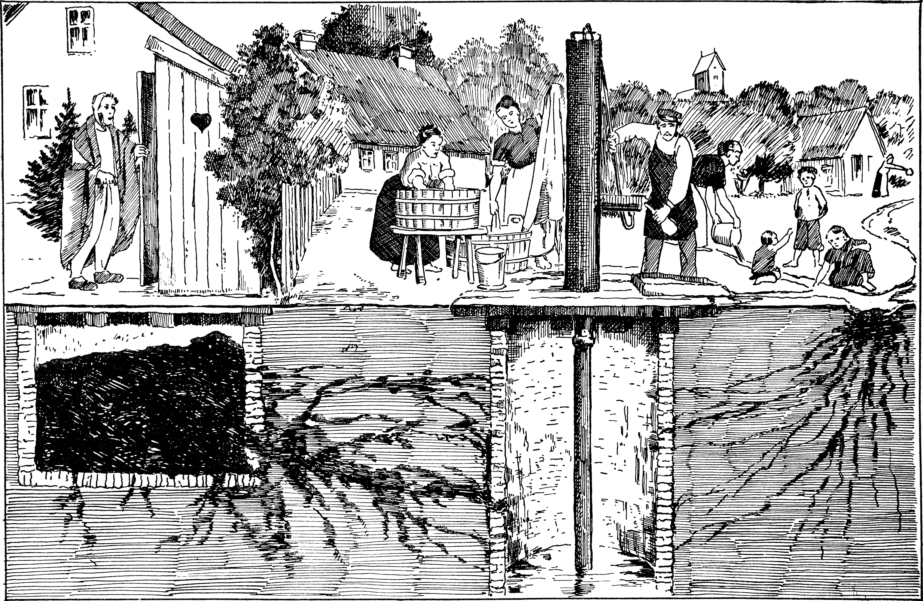
Nepean Bay, is a bay in the Ottawa River in Ottawa, Ontario, Canada. It is located between Lemieux Island and the Prince of Wales Bridge on the west and LeBreton Flats on the east. History In the early 20th Century, the bay was used for Ottawa's drinking water. In 1912, experts deemed the bay "no fit place under which to lay an intake pipe without great precautions", due to the intake pipe being in disrepair due to the number of logs in the bay from Ottawa's lumber industry. During a typhoid fever epidemic at the time, tests taken from drinking water from the bay showed that it was contaminated with pollution. Plans to build a pipeline to carry treated water over the bay as a bridge was dismissed as a "wild undertaking". In 1938, following complaints of "nude bathing" at the bay, the city entertained the possibility of establishing a public beach at the site. The southern half of the bay (40 acres) was in-filled with garbage from excavation work on government projects bet ... [...More Info...] [...Related Items...] OR: [Wikipedia] [Google] [Baidu] |
Ottawa, Ontario
Ottawa (, ; Canadian French: ) is the capital city of Canada. It is located at the confluence of the Ottawa River and the Rideau River in the southern portion of the province of Ontario. Ottawa borders Gatineau, Quebec, and forms the core of the Ottawa–Gatineau census metropolitan area (CMA) and the National Capital Region (NCR). Ottawa had a city population of 1,017,449 and a metropolitan population of 1,488,307, making it the fourth-largest city and fourth-largest metropolitan area in Canada. Ottawa is the political centre of Canada and headquarters to the federal government. The city houses numerous foreign embassies, key buildings, organizations, and institutions of Canada's government, including the Parliament of Canada, the Supreme Court, the residence of Canada's viceroy, and Office of the Prime Minister. Founded in 1826 as Bytown, and incorporated as Ottawa in 1855, its original boundaries were expanded through numerous annexations and were ultimately ... [...More Info...] [...Related Items...] OR: [Wikipedia] [Google] [Baidu] |
Evan Nepean
Sir Evan Nepean, 1st Baronet, PC FRS (9 July 1752 – 2 October 1822)Sparrow (n.d.) was a British politician and colonial administrator. He was the first of the Nepean Baronets. Family Nepean was born at St. Stephens near Saltash, Cornwall, the second of three sons of Nicholas Nepean, an innkeeper, and his second wife, Margaret Jones. His father was Cornish and his mother was from South Wales. The name "Nepean" is thought to come from the village of Nanpean ("the head of the valley"), in Cornwall. Nepean married Margaret Skinner, the only daughter of Capt. William Skinner, on 6 June 1782 at the Garrison Church at Greenwich. They had eight children, including Sir Molyneux Hyde Nepean, 2nd Bt., and Maj.-Gen. William Nepean, whose daughter Anna Maria Nepean married General Sir William Parke. Their youngest child, Rev. Canon Evan Nepean, became the Canon of Westminster and a Chaplain in Ordinary to Queen Victoria. His son Charles was a Middlesex county cricketer who also playe ... [...More Info...] [...Related Items...] OR: [Wikipedia] [Google] [Baidu] |
Ottawa River
The Ottawa River (french: Rivière des Outaouais, Algonquin: ''Kichi-Sìbì/Kitchissippi'') is a river in the Canadian provinces of Ontario and Quebec. It is named after the Algonquin word 'to trade', as it was the major trade route of Eastern Canada at the time. For most of its length, it defines the border between these two provinces. It is a major tributary of the St. Lawrence River and the longest river in Quebec. Geography The river rises at Lac des Outaouais, north of the Laurentian Mountains of central Quebec, and flows west to Lake Timiskaming. From there its route has been used to define the interprovincial border with Ontario. From Lake Timiskaming, the river flows southeast to Ottawa and Gatineau, where it tumbles over Chaudière Falls and further takes in the Rideau and Gatineau rivers. The Ottawa River drains into the Lake of Two Mountains and the St. Lawrence River at Montreal. The river is long; it drains an area of , 65 per cent in Quebec and the r ... [...More Info...] [...Related Items...] OR: [Wikipedia] [Google] [Baidu] |
Lemieux Island
Lemieux Island (french: Île Lemieux) is a small island in the middle of the Ottawa River at the edge of Nepean Bay in the National Capital Region of Canada. The island lies between Gatineau, Quebec, and the national capital, Ottawa, Ontario. Administratively being a part of the latter, it is crossed by the Chief William Commanda Bridge] and serves a site for the water filtration plant. The island also features a dog park A dog park is a park for dogs to exercise and play off-leash in a controlled environment under the supervision of their owners. Description Dog parks have varying features, although they typically offer a 4' to 6' fence, separate double-gated .... Lemieux Island 2.jpg, Lemieux Island and the water supply pipe Lemieux Island 1.jpg, Lemieux Island Water Purification Plant See also * Letsgomoose * Quebec Gatineau Railway References {{reflist River islands of Ontario Landforms of Ottawa ... [...More Info...] [...Related Items...] OR: [Wikipedia] [Google] [Baidu] |
Prince Of Wales Bridge (Canada)
french: Pont Chef-William-Commanda , owner = City of Ottawa , carries = Not in use , crosses = Ottawa River, Lemieux Island , locale = Ottawa- Gatineau, National Capital Region, Canada , maint = , id = , design = Truss bridge , mainspan = , length = , width = , height = , num_track = 1, but not in use , track_gauge = , structure_gauge = AAR , load = , clearance = , below = , traffic = , begin = , complete = , open = 1880 , closed = 2005 , toll = , mapframe-zoom = 12 , coordinates = The Chief William Commanda Bridge (french: Pont Chef-William-Commanda), formerly the Prince of Wales Bridge, is a disused rail bridge in Canada, which spans the Ottawa River between Ottawa, Ontario and Gatineau, Quebec. It connected with the Bytown and Prescott Railway line just west ... [...More Info...] [...Related Items...] OR: [Wikipedia] [Google] [Baidu] |
Typhoid Fever
Typhoid fever, also known as typhoid, is a disease caused by '' Salmonella'' serotype Typhi bacteria. Symptoms vary from mild to severe, and usually begin six to 30 days after exposure. Often there is a gradual onset of a high fever over several days. This is commonly accompanied by weakness, abdominal pain, constipation, headaches, and mild vomiting. Some people develop a skin rash with rose colored spots. In severe cases, people may experience confusion. Without treatment, symptoms may last weeks or months. Diarrhea may be severe, but is uncommon. Other people may carry the bacterium without being affected, but they are still able to spread the disease. Typhoid fever is a type of enteric fever, along with paratyphoid fever. ''S. enterica'' Typhi is believed to infect and replicate only within humans. Typhoid is caused by the bacterium ''Salmonella enterica'' subsp. ''enterica'' serovar Typhi growing in the intestines, peyers patches, mesenteric lymph nodes, spleen, liver ... [...More Info...] [...Related Items...] OR: [Wikipedia] [Google] [Baidu] |
National Capital Commission
The National Capital Commission (NCC; french: Commission de la capitale nationale, CCN) is the Crown corporation responsible for development, urban planning, and conservation in Canada's Capital Region (Ottawa, Ontario and Gatineau, Quebec), including administering most lands and buildings owned by the Government of Canada in the region. The NCC is the capital's largest property owner, owning and managing over 11% of all lands in the Capital Region. It also owns over 1,600 properties in its real estate portfolio, including the capital's six official residences; commercial, residential and heritage buildings; and agricultural facilities. The NCC reports to the Parliament of Canada through whichever minister in the Cabinet of Canada is designated responsible for the ''National Capital Act'', currently the Minister of Public Services and Procurement. History Ottawa Improvement Commission (1899–1927) Through the 19th century, the character of what is known today as the Natio ... [...More Info...] [...Related Items...] OR: [Wikipedia] [Google] [Baidu] |
Ottawa River Parkway
The Kichi Zībī Mīkan, ( ) formerly the Sir John A. Macdonald Parkway, and previously the Ottawa River Parkway, is a four-lane scenic parkway along the Ottawa River in Ottawa, Ontario, Canada. It runs from Carling Avenue near Connaught Avenue, to Booth Street at the Canadian War Museum and National Holocaust Monument. It is maintained by the National Capital Commission. The speed limit is . Bicycles are allowed on the road and on a parallel recreational path along the parkway. Besides being a scenic route, it serves as a commuter artery for westend residents who work in the downtown area, particularly government employees who work at the Tunney's Pasture office complex, and other areas. It is also used by the transit systems of Ottawa and Gatineau for express buses. Route description The parkway begins with on and off-ramps from Carling Avenue. The interchange is also the site of the Lincoln Fields Transitway station, with access driveways for OC Transpo buses. The parkw ... [...More Info...] [...Related Items...] OR: [Wikipedia] [Google] [Baidu] |
Canadian Pacific Railway
The Canadian Pacific Railway (french: Chemin de fer Canadien Pacifique) , also known simply as CPR or Canadian Pacific and formerly as CP Rail (1968–1996), is a Canadian Class I railway incorporated in 1881. The railway is owned by Canadian Pacific Railway Limited, which began operations as legal owner in a corporate restructuring in 2001. Headquartered in Calgary, Alberta, the railway owns approximately of track in seven provinces of Canada and into the United States, stretching from Montreal to Vancouver, and as far north as Edmonton. Its rail network also serves Minneapolis–St. Paul, Milwaukee, Detroit, Chicago, and Albany, New York, in the United States. The railway was first built between eastern Canada and British Columbia between 1881 and 1885 (connecting with Ottawa Valley and Georgian Bay area lines built earlier), fulfilling a commitment extended to British Columbia when it entered Confederation in 1871; the CPR was Canada's first transcontinental railway. ... [...More Info...] [...Related Items...] OR: [Wikipedia] [Google] [Baidu] |
Railway Roundhouse
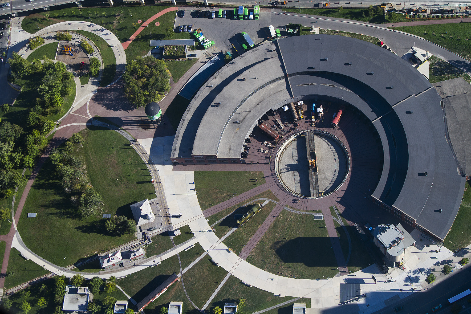
A railway roundhouse is a building with a circular or semicircular shape used by railways for servicing and storing locomotives. Traditionally, though not always the case today, these buildings surrounded or were adjacent to a turntable. Overview Early steam locomotives normally traveled forwards only. Although reverse operations capabilities were soon built into locomotive mechanisms, the controls were normally optimized for forward travel, and the locomotives often could not operate as well in reverse. Some passenger cars, such as observation cars, were also designed as late as the 1960s for operations in a particular direction. Turntables allowed locomotives or other rolling stock to be turned around for the return journey, and roundhouses, designed to radiate around the turntables, were built to service and store these locomotives. Most modern diesel and electric locomotives can run equally well in either direction, and many are push-pull trains with control cabs at ea ... [...More Info...] [...Related Items...] OR: [Wikipedia] [Google] [Baidu] |
Causeway
A causeway is a track, road or railway on the upper point of an embankment across "a low, or wet place, or piece of water". It can be constructed of earth, masonry, wood, or concrete. One of the earliest known wooden causeways is the Sweet Track in the Somerset Levels, England, which dates from the Neolithic age. Timber causeways may also be described as both boardwalks and bridges. Etymology When first used, the word ''causeway'' appeared in a form such as "causey way" making clear its derivation from the earlier form "causey". This word seems to have come from the same source by two different routes. It derives ultimately, from the Latin for heel, ''calx'', and most likely comes from the trampling technique to consolidate earthworks. Originally, the construction of a causeway utilised earth that had been trodden upon to compact and harden it as much as possible, one layer at a time, often by enslaved bodies or flocks of sheep. Today, this work is done by machines. The s ... [...More Info...] [...Related Items...] OR: [Wikipedia] [Google] [Baidu] |


.jpg)


