|
Natori River
The is a river located in central Miyagi prefecture, in the T┼Źhoku region of northern Japan. It starts at Mount Kamuro in the ┼īu Mountains and flows in an easterly direction through the cities of Natori and Sendai. The river's headwaters start in the Zao Mountain range, it flows through the Sendai Plain and ends by draining into Sendai Bay. The river's estuary is located on Japan's east coast, and faces the Pacific Ocean. The river's flow is the greatest during the snow melt season from March to April, the rainy season from June to July and during the typhoon season from September to October. The river's length is 55 km, and its tributaries are the Hirose, Masuda and Goishi Rivers. The Natori provides water for 1 million people in the city of Sendai. Basin The river's basin is 939 km2 and has two primary reservoirs, the Okura dam reservoir and the Kamafusa Dam reservoir, both of which serve as regulators of flood control and for the supply of water. In the event of ... [...More Info...] [...Related Items...] OR: [Wikipedia] [Google] [Baidu] |
┼īu Mountains
The are a mountain range in the T┼Źhoku region of Honsh┼½, Japan. The range is the longest range in Japan and stretches south from the Natsudomari Peninsula of Aomori Prefecture to the Nasu volcanoes at the northern boundary of the Kant┼Ź region. Though long, the range is only about wide. The highest point in the range is Mount Iwate, . The range includes several widely known mountains: Hakk┼Źda Mountains, Mount Iwate, Mount Za┼Ź, Mount Azuma, Mount Yakeishi, and Mount Adatara. Naming These mountains previously formed the boundary between historical provinces of Mutsu (ķÖĖÕźźÕøĮ) and Dewa (Õć║ńŠĮÕøĮ). The ''kanji'' for the name of the mountain range was created from one ''kanji'' of the two provinces, Õźź and ńŠĮ, respectively. Geology The ┼īu Mountains began to form in the Pliocene. They sit over the middle of the inner arc of the Northeastern Japan Arc. This is the result of the Pacific Plate subducting under the Okhotsk Plate The Okhotsk Plate is a minor tect ... [...More Info...] [...Related Items...] OR: [Wikipedia] [Google] [Baidu] |
Yamagata Prefecture
is a prefecture of Japan located in the T┼Źhoku region of Honshu. Yamagata Prefecture has a population of 1,079,950 (1 June 2019) and has a geographic area of 9,325 km┬▓ (3,600 sq mi). Yamagata Prefecture borders Akita Prefecture to the north, Miyagi Prefecture to the east, Fukushima Prefecture to the south, and Niigata Prefecture to the southwest. Yamagata is the capital and largest city of Yamagata Prefecture, with other major cities including Tsuruoka, Sakata, and Yonezawa. Yamagata Prefecture is located on Japan's western Sea of Japan coast and its borders with neighboring prefectures are formed by various mountain ranges, with 17% of its total land area being designated as Natural Parks. Yamagata Prefecture formed the southern half of the historic Dewa Province with Akita Prefecture and is home to the Three Mountains of Dewa, which includes the Haguro Five-story Pagoda, a recognised National Treasure of Japan. History The aboriginal people once inhabited the area ... [...More Info...] [...Related Items...] OR: [Wikipedia] [Google] [Baidu] |
Places Of Scenic Beauty
is a collective term used by the Japanese government's Law for the Protection of Cultural Properties to denote Cultural Properties of JapanIn this article, capitals indicate an official designation as opposed to a simple definition, e.g "Cultural Properties" as opposed to "cultural properties". as historic locations such as shell mounds, ancient tombs, sites of palaces, sites of forts or castles, monumental dwelling houses and other sites of high historical or scientific value; gardens, bridges, gorges, mountains, and other places of great scenic beauty; and natural features such as animals, plants, and geological or mineral formations of high scientific value. Designated monuments of Japan The government ''designates'' (as opposed to '' registers'') "significant" items of this kind as Cultural Properties (µ¢ćÕī¢Ķ▓Ī ''bunkazai'') and classifies them in one of three categories: * * , * . Items of particularly high significance may receive a higher classification as: * * * , ... [...More Info...] [...Related Items...] OR: [Wikipedia] [Google] [Baidu] |
Landforms Of Miyagi Prefecture
A landform is a natural or anthropogenic land feature on the solid surface of the Earth or other planetary body. Landforms together make up a given terrain, and their arrangement in the landscape is known as topography. Landforms include hills, mountains, canyons, and valleys, as well as shoreline features such as bays, peninsulas, and seas, including submerged features such as mid-ocean ridges, volcanoes, and the great ocean basins. Physical characteristics Landforms are categorized by characteristic physical attributes such as elevation, slope, orientation, stratification, rock exposure and soil type. Gross physical features or landforms include intuitive elements such as berms, mounds, hills, ridges, cliffs, valleys, rivers, peninsulas, volcanoes, and numerous other structural and size-scaled (e.g. ponds vs. lakes, hills vs. mountains) elements including various kinds of inland and oceanic waterbodies and sub-surface features. Mountains, hills, plateaux, and plains are t ... [...More Info...] [...Related Items...] OR: [Wikipedia] [Google] [Baidu] |
Rivers Of Japan
Rivers of Japan are characterized by their relatively short lengths and considerably steep gradients due to the narrow and mountainous topography of the country. An often-cited quote is 'this is not a river, but a waterfall' by the Dutch engineer (o-yatoi gaikokujin) Johannis de Rijke who had visited the J┼Źganji River, Toyama Prefecture. The Mogami, the Fuji and the Kuma are regarded as the three most rapid rivers of Japan. Typical rivers of Japan rise from mountainous forests and cut out deep V-shaped valleys in their upper reaches, and form alluvial plains in their lower reaches which enable the Japanese to cultivate rice fields and to set up cities. Most rivers are dammed to supply both water and electricity. The longest river of Japan is the Shinano, which flows from Nagano to Niigata. The Tone has the largest watershed and serves water to more than 30 million inhabitants of Tokyo metropolitan area. List of rivers in Japan The list below is in geographical order (from ... [...More Info...] [...Related Items...] OR: [Wikipedia] [Google] [Baidu] |
Rivers Of Miyagi Prefecture
A river is a natural flowing watercourse, usually freshwater, flowing towards an ocean, sea, lake or another river. In some cases, a river flows into the ground and becomes dry at the end of its course without reaching another body of water. Small rivers can be referred to using names such as Stream#Creek, creek, Stream#Brook, brook, rivulet, and rill. There are no official definitions for the generic term river as applied to Geographical feature, geographic features, although in some countries or communities a stream is defined by its size. Many names for small rivers are specific to geographic location; examples are "run" in some parts of the United States, "Burn (landform), burn" in Scotland and northeast England, and "beck" in northern England. Sometimes a river is defined as being larger than a creek, but not always: the language is vague. Rivers are part of the water cycle. Water generally collects in a river from Precipitation (meteorology), precipitation through a ... [...More Info...] [...Related Items...] OR: [Wikipedia] [Google] [Baidu] |
Onsen
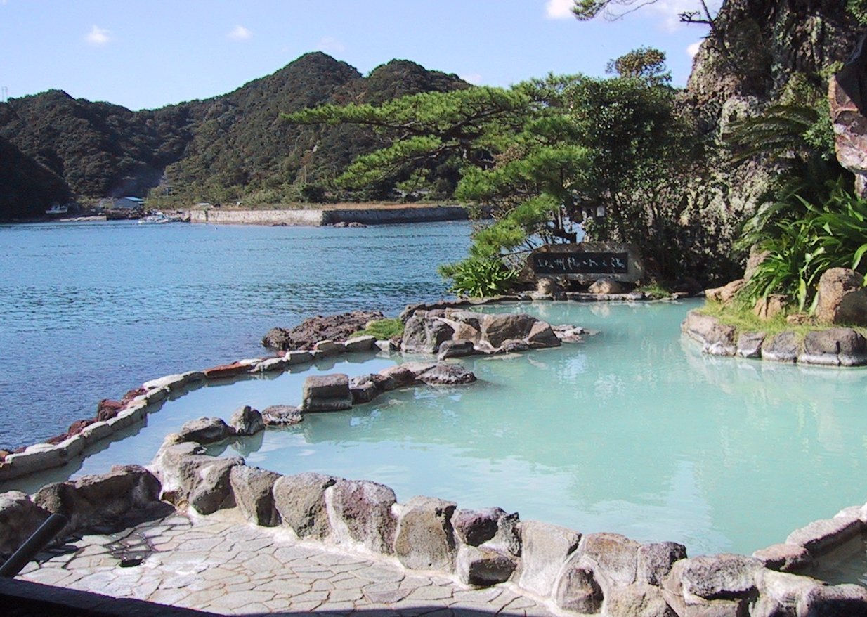
In Japan, are the country's hot springs and the bathing facilities and traditional inns around them. As a volcanically active country, Japan has many onsens scattered throughout all of its major islands. There are approximately 25,000 hot spring sources throughout Japan that provide hot mineral water to about 3,000 genuine onsen establishments. Onsens come in many types and shapes, including and . Baths may be either publicly run by a municipality or privately, often as part of a hotel, ''ryokan'', or . The presence of an onsen is often indicated on signs and maps by the symbol ŌÖ© or the kanji (''yu'', meaning "hot water"). Sometimes the simpler hiragana character Ńéå (''yu''), understandable to younger children, is used. Traditionally, onsens were located outdoors, although many inns have now built indoor bathing facilities as well. Nowadays, as most households have their own bath, the number of traditional public baths has decreased, but the number of sightseeing ho ... [...More Info...] [...Related Items...] OR: [Wikipedia] [Google] [Baidu] |
Zao Quasi-National Park ''
{{disambiguation ...
Zao may refer to: * Mayor Zao, a character in the video game '' Freedom Planet'' * Zao (American band), a metalcore band from West Virginia * Zao (French band) * Mount Za┼Ź, a mountain in northern Japan * Za┼Ź, Miyagi, a town in Japan * 5751 Zao, an asteroid * ZAO, an abbreviation for a Russian closed joint-stock company * Zao Wou-Ki (1920-2013), Chinese-French contemporary painter * ZAO, a free Chinese Deepfake app * Captain Zao, Chinese submarine officer in '' Fallout 4'' * Zao, evil North Korean military officer in ''Die Another Day ''Die Another Day'' is a 2002 spy film and the twentieth film in the ''James Bond'' series produced by Eon Productions. It was produced by Michael G. Wilson and Barbara Broccoli, and directed by Lee Tamahori. The fourth and final film starrin ... [...More Info...] [...Related Items...] OR: [Wikipedia] [Google] [Baidu] |
Tuff
Tuff is a type of rock made of volcanic ash ejected from a vent during a volcanic eruption. Following ejection and deposition, the ash is lithified into a solid rock. Rock that contains greater than 75% ash is considered tuff, while rock containing 25% to 75% ash is described as tuffaceous (for example, ''tuffaceous sandstone''). Tuff composed of sandy volcanic material can be referred to as volcanic sandstone. Tuff is a relatively soft rock, so it has been used for construction since ancient times. Because it is common in Italy, the Romans used it often for construction. The Rapa Nui people used it to make most of the ''moai'' statues on Easter Island. Tuff can be classified as either igneous or sedimentary rock. It is usually studied in the context of igneous petrology, although it is sometimes described using sedimentological terms. Tuff is often erroneously called tufa in guidebooks and in television programmes. Volcanic ash The material that is expelled in a volcanic ... [...More Info...] [...Related Items...] OR: [Wikipedia] [Google] [Baidu] |
Agency For Cultural Affairs
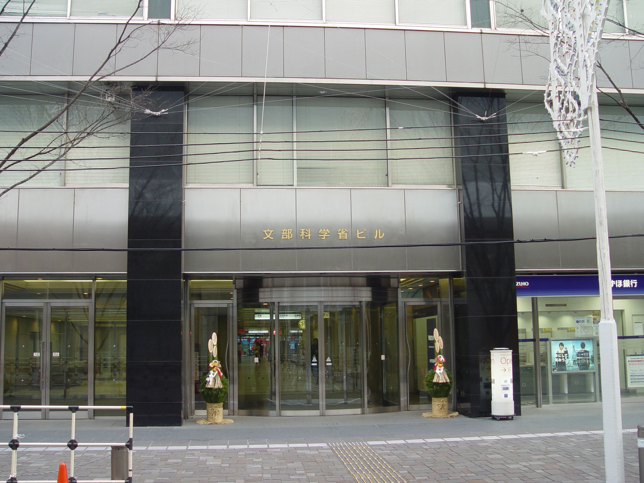
The is a special body of the Japanese Ministry of Education, Culture, Sports, Science and Technology (MEXT). It was set up in 1968 to promote Japanese arts and culture. The agency's budget for FY 2018 rose to ┬ź107.7 billion. Overview The agency's Cultural Affairs Division disseminates information about the arts within Japan and internationally, and the Cultural Properties Protection Division protects the nation's cultural heritage. The Cultural Affairs Division is concerned with such areas as art and culture promotion, art copyrights, and improvements in the national language. It also supports both national and local arts and cultural festivals, and it funds traveling cultural events in music, theater, dance, art exhibitions, and film-making. Special prizes are offered to encourage young artists and established practitioners, and some grants are given each year to enable them to train abroad. The agency funds national museums of modern art in Kyoto and Tokyo and The National ... [...More Info...] [...Related Items...] OR: [Wikipedia] [Google] [Baidu] |
Cultural Properties Of Japan
A is administered by the Government of Japan, Japanese government's Agency for Cultural Affairs (Ministry of Education, Culture, Sports, Science and Technology), and includes Tangible Cultural Properties of Japan, tangible properties (structures and works of art or craft); Intangible Cultural Properties of Japan, intangible properties (performing arts and craft techniques); Mingei, folk properties both tangible and intangible; Monuments of Japan, monuments historic, scenic and natural; Cultural Landscapes of Japan, cultural landscapes; and Groups of Traditional Buildings, groups of traditional buildings. Cultural Properties of Japan#Buried Cultural Properties, Buried properties and Conservation Techniques for Cultural Properties, conservation techniques are also protected. Together these cultural properties are to be preserved and utilized as the heritage of the Japanese people. Not all Cultural Properties of Japan were created in Japan; some are from China, Korea or other countri ... [...More Info...] [...Related Items...] OR: [Wikipedia] [Google] [Baidu] |
Ministry Of The Environment (Japan)
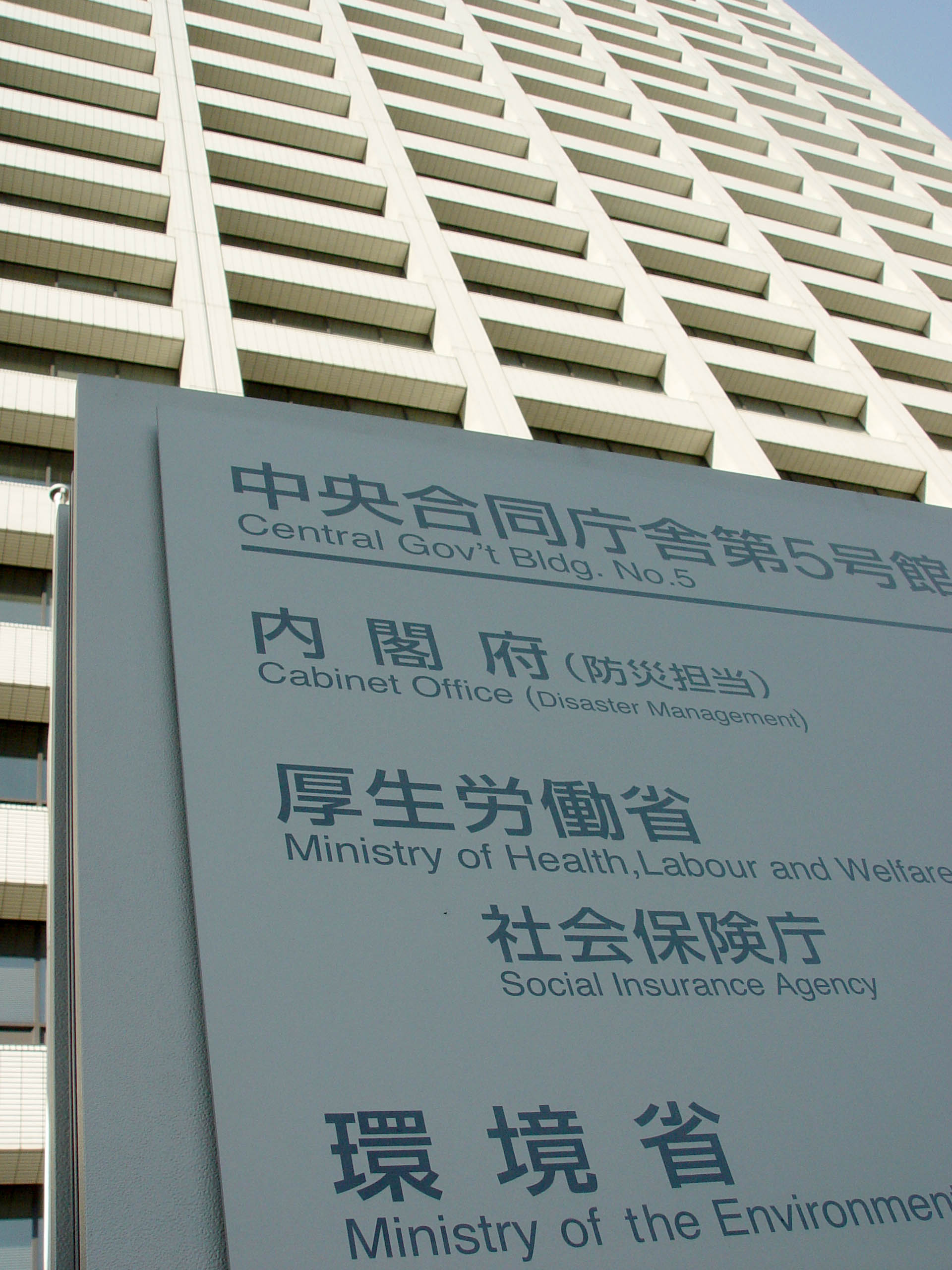
The is a Cabinet-level ministry of the government of Japan responsible for global environmental conservation, pollution control, and nature conservation. The ministry was formed in 2001 from the sub-cabinet level Environmental Agency established in 1971. The Minister of the Environment is a member of the Cabinet of Japan and is chosen by the Prime Minister, usually from among members of the Diet. In March 2006, the then-Minister of the Environment Yuriko Koike, created a ''furoshiki'' cloth to promote its use in the modern world. In August 2011, the Cabinet of Japan approved a plan to establish a new energy watchdog under the Environment Ministry, and the Nuclear Regulation Authority was founded on September 19, 2012. Organization * Minister's Secretariat (Õż¦ĶćŻÕ«śµł┐) * (ńĘÅÕÉłńÆ░Õóāµö┐ńŁ¢ńĄ▒µŗ¼Õ«ś) * Global Environment Bureau (Õ£░ńÉāńÆ░ÕóāÕ▒Ć) * Environment Management Bureau (µ░┤Ńā╗Õż¦µ░ŚńÆ░ÕóāÕ▒Ć) * Nature Conservation Bureau (Ķć¬ńäČńÆ░ÕóāÕ▒Ć) * (ńÆ░ÕóāÕåŹńö¤Ńā╗Ķ│ćµ║ÉÕŠ¬ń ... [...More Info...] [...Related Items...] OR: [Wikipedia] [Google] [Baidu] |


.jpg)


