|
National Waterway 3 (India)
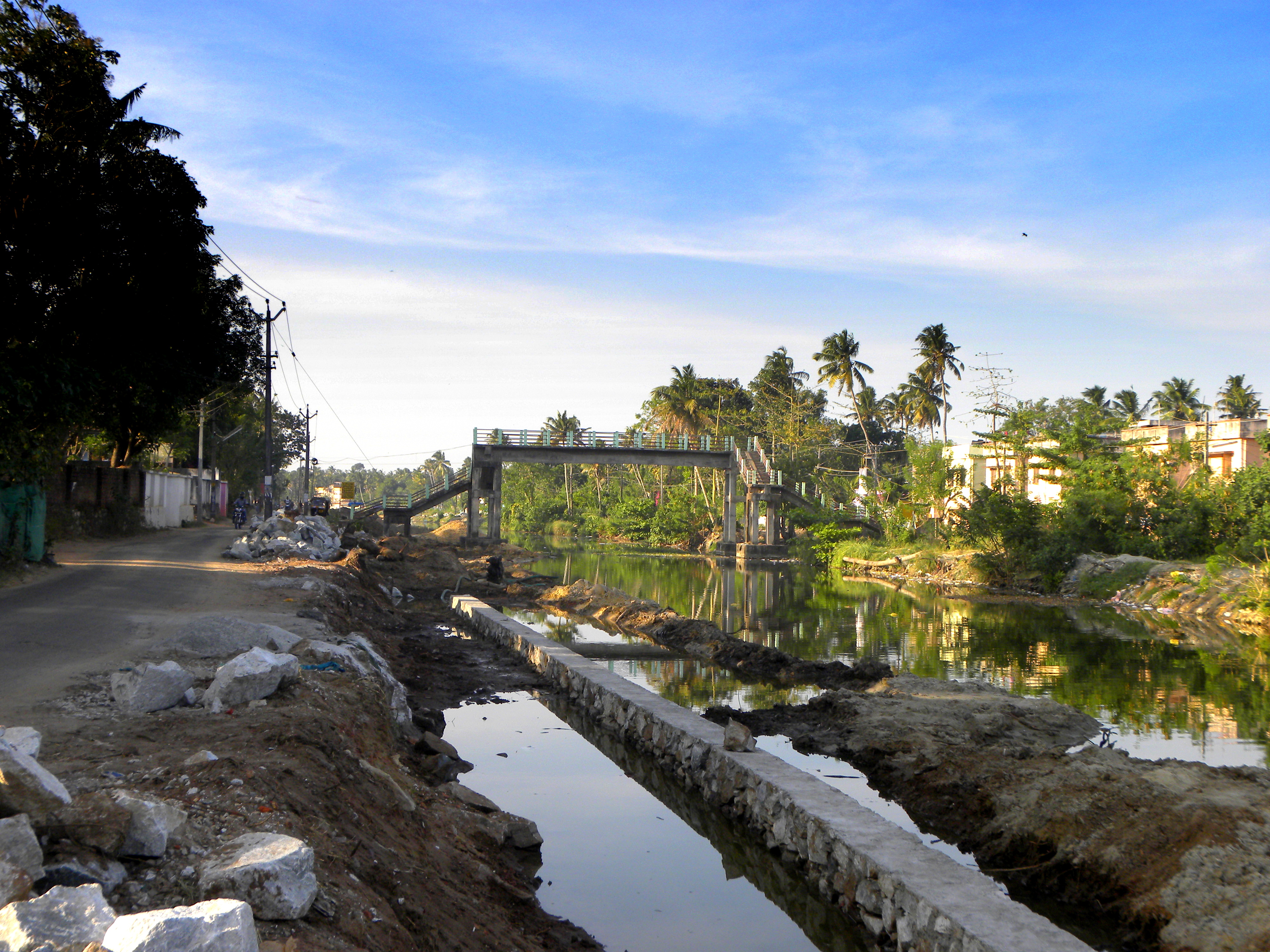
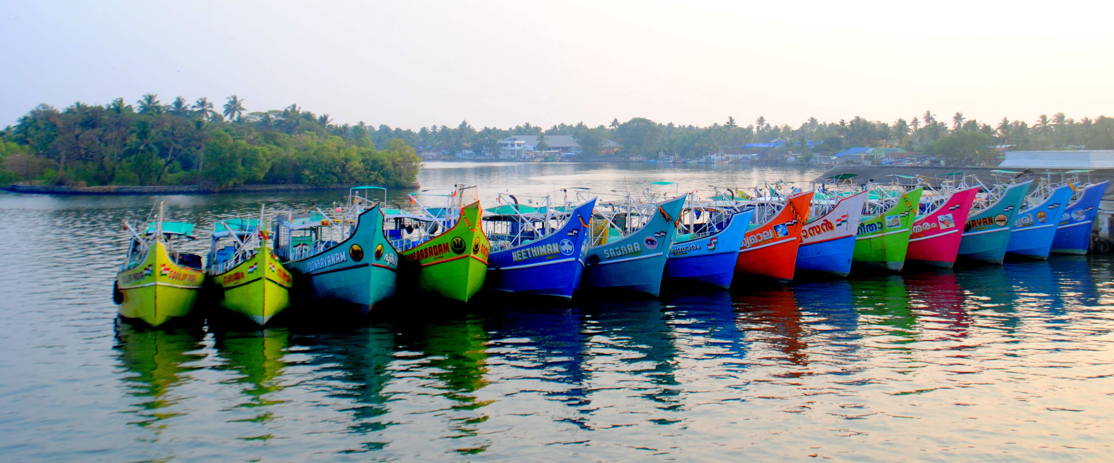
The West Coast Canal or National Waterway No 3 is a long inland navigational route located in Kerala, India, which runs from Kollam to Kottapuram. It was declared a National Waterway in 1993. In addition to the main stretch, Champakara and Udyogmandal canals are navigable and connect the industrial centers of Kochi to Kochi port Inland Waterways Authority of India (IWAI) under the Ministry of Shipping is coordinating the task for developing, monitoring and administering national waterways. It is the first National Waterway in the country with 24-hour navigation facilities along the entire stretch. It has been extended to Kozhikode by the National Waterways Act, 2016. The National Waterway 3 mainly passes through the previous Thiruvananthapuram–Shoranur canal. History Waterways have always been an important mode of transport in Kerala. The total length of navigable route in Kerala was and the navigable rivers constitute about 54 per cent of the waterways. The 41 West-flowi ... [...More Info...] [...Related Items...] OR: [Wikipedia] [Google] [Baidu] |
Kerala
Kerala ( ; ) is a state on the Malabar Coast of India. It was formed on 1 November 1956, following the passage of the States Reorganisation Act, by combining Malayalam-speaking regions of the erstwhile regions of Cochin, Malabar, South Canara, and Thiruvithamkoor. Spread over , Kerala is the 21st largest Indian state by area. It is bordered by Karnataka to the north and northeast, Tamil Nadu to the east and south, and the Lakshadweep Sea to the west. With 33 million inhabitants as per the 2011 census, Kerala is the 13th-largest Indian state by population. It is divided into 14 districts with the capital being Thiruvananthapuram. Malayalam is the most widely spoken language and is also the official language of the state. The Chera dynasty was the first prominent kingdom based in Kerala. The Ay kingdom in the deep south and the Ezhimala kingdom in the north formed the other kingdoms in the early years of the Common Era (CE). The region had been a prominent spic ... [...More Info...] [...Related Items...] OR: [Wikipedia] [Google] [Baidu] |
Alappuzha
Alappuzha or Alleppey () is the administrative headquarters of Alappuzha district in States and territories of India, state of Kerala, India. The Kerala Backwaters, Backwaters of Alappuzha are one of the most popular tourist attractions in India which attracts millions of domestic and international tourists. Alleppey is a city and a municipality in Kerala with an urban population of 174,164 and ranks third among the districts in literacy rate in the state. In 2016, the Centre for Science and Environment rated Alappuzha as the cleanest town in India. Alappuzha is considered to be the oldest planned city in this region and the lighthouse built on the coast of the city is the first of its kind along the Laccadive Sea coast. The city is 55 km from Kochi and 155 km north of Thiruvananthapuram district, Thiruvananthapuram. A town with canals, Kerala Backwaters, backwaters, Alappuzha Beach, beaches, and lagoons, Alappuzha was described by George Curzon, 1st Marquess Curzon o ... [...More Info...] [...Related Items...] OR: [Wikipedia] [Google] [Baidu] |
Maradu
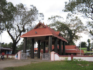
Maradu is a fast developing region in the city of Kochi in Kerala, India. It is located at about from the city center. It was formed in May 1953 as a Grama Panchayath and was upgraded to the level of municipality in November 2010. National highways NH 85, NH 966 B and NH 66 passes through Maradu and has played a vital role in the development of the area. Maradu is well connected by waterways as well. Maradu is known for the famous "Maradu Vedikkettu" in Maradu Temple. Location Demographics India census, Maradu had a population of 40,993. Males constitute 50% of the population and females 50%. Maradu has an average literacy rate of 85%, higher than the national average of 59.5%: male literacy is 87%, and female literacy is 83%. In Maradu, 11% of the population is under 6 years of age. The famous festival in Maradu is the "Thalappoli Maholsavam", otherwise known as "Maradu Vedikkettu" or "Marattil Kottaram Baghavathy Kshethram." It is usually in February–March. It ... [...More Info...] [...Related Items...] OR: [Wikipedia] [Google] [Baidu] |
Aluva
Aluva (; also known by its former name Alwaye) is a town in the Ernakulam District in Kerala, India. It is a part of the Kochi metropolitan area and is situated around from the city center on the banks of Periyar River. A major transportation hub, with easy access to all major forms of transportation, Aluva acts as a corridor which links the highland districts to the rest of Kerala. Cochin International Airport at Nedumbassery is 11.7 km from Aluva. Aluva is accessible through rail (Aluva railway station), air (Cochin International Airport), metro (Kochi Metro) along with major highways and roadlines. Aluva KSRTC bus station is an important transport hub in Kerala and one of the busiest stations in central part of the state. Aluva, home to the summer residency of the Travancore royal family–the Alwaye Palace-is also famous for the Sivarathri festival celebrated annually at the sandbanks of Periyar. The Advaita Ashrams in Aluva founded in 1913 by Sree Narayana ... [...More Info...] [...Related Items...] OR: [Wikipedia] [Google] [Baidu] |
Varappuzha
Varappuzha, , (also known by its former name Verapoly) is a northern suburb of the city of Kochi. It is a census town in Paravur Taluk, Ernakulam district in the Indian state of Kerala. Situated around 15 km (9 mi) from the city centre and 8 km (5 mi) from Edapally, the areas lies in the NH 66 connecting Vytilla with North Paravur. Its specialty is that considerably large-scale paddy cultivating area is situating western part of Varapuzha which is called Devaswompadam, specialised with Pokkali paddy cultivation and interim crop as fish cultivation locally called 'Kettu'. The common work of the natives are fishing and agriculture. Varapuzha is known for its fish market (Chettibagam market). The Varapuzha Bridge (Near Historical Varapuzha Island) connects Varapuzha (Mannantturuthu) with the neighboring Cheranallur. Demographics India census, Varappuzha had a population of 24,516. Males constitute 48% of the population and females 52%. Varappuzha has an average ... [...More Info...] [...Related Items...] OR: [Wikipedia] [Google] [Baidu] |
Mulavukad
Mulavukad, also known locally as Bolgatty Island, is one of the islands that forms part of the city of Kochi in Kerala, India. It is situated in the Mulavukad Grama Panchayat. Vypin island and Vallarpadam island lie on its west side and Vaduthala lie to its east. Mulavukad is connected to mainland Ernakulam & Vallarpadam by the Goshree bridges and to Container terminal road at north side to connect to Kalamassery and Aluva side. Easy connection to the CBD, Northern and Southern side of Cochin city make the Island unique among other Goshree Islands. The Bolgatty Palace is located at the southern tip of the island. It was built by the Dutch as a centre for colonial administration, and later taken over by the British. The Palace is a popular tourist attraction and a heritage hotel, managed by the Kerala State Tourism Department (KTDC). The Lulu International Convention Center and Hyatt Hotels group is launching in Mulavukad in 2016. The island has a golf course and an inte ... [...More Info...] [...Related Items...] OR: [Wikipedia] [Google] [Baidu] |
Vypin
Vypin (Malayalam: വൈപ്പിന്, Cochin Portuguese: Isla Santa) is one of the group of islands that form part of the city of Kochi (Cochin), in the Indian state of Kerala. Vypin forms a barrier island which lies between the Arabian Sea in the west and the Cochin backwaters formed by the various distributaries of Periyar river, in the east. The northernmost end of the island lies on the estuary of the Periyar river in Muziris (Kodungallur), and the southernmost end in the mouth of the Cochin Backwaters in Kalamukku near Fort Vypin. The island is about long and is connected to mainland Kochi by a series of bridges known as the Goshree bridges, which start at Kalamukku in Vypin, touch other two islands and then finish at Marine Drive covering a total distance of around . Vypin is 58th most densely populated islands in the world. Njarakkal is one of the most densely populated locations within Vypin. Development At far the northern tip of Vypin, is home to the Mun ... [...More Info...] [...Related Items...] OR: [Wikipedia] [Google] [Baidu] |
Kainakary
Kainakary is a village in Kuttanad Taluk in Alappuzha District of the Indian state of Kerala. History Kainakary was part of the Chembakassery Dynasty. Geography Five rivers originating from the Western Ghats, including the sacred Pamba River, drain into the Vembanad lake in the tip of Kainakary. Once a communist bastion, its literacy rate is notably better than many of its counterparts. The village is close to more than five lakes, which are vast in area. Kainakary is a shooting location for movie/TV soaps/music videos, etc. The village itself has numerous small water bodies, rivers, canals and ponds. People dwell near to canals and river banks mainly. Being part of Kuttanad, vast paddy lands make up the major part of the village. These paddy lands are below sea water level. So the rice cultivation in this area is unique and well appreciated. Floods are another major calamity that can be seen in Kainakary's history. Floods in Kuttanad are expected during every heavy monsoon ... [...More Info...] [...Related Items...] OR: [Wikipedia] [Google] [Baidu] |
Kottayam
Kottayam () is a municipal town in the Indian state of Kerala. Flanked by the Western Ghats on the east and the Vembanad Lake and paddy fields of Kuttanad on the west. It is the district headquarters of Kottayam district, located in south-west Kerala. Kottayam is located in the basin of the Meenachil River at an average elevation of above sea level, and has a moderate climate. It is located approximately north of the state capital Thiruvananthapuram. Kottayam is also referred to as "The City of Letters" as many of the first Malayalam daily newspapers, like '' Deepika,'' ''Malayala Manorama,'' and ''Mangalam,'' were started and are headquartered in Kottayam, as are a number of publishing houses. Etymology The royal palace of the Thekkumkur ruler was protected by a fort called ''Thaliyilkotta''. It is believed that the name ''Kottayam'' is derived from a combination of the Malayalam words ''kotta'' which means fort (''Thaliyilkotta'') and ''akam'' which means inside. The com ... [...More Info...] [...Related Items...] OR: [Wikipedia] [Google] [Baidu] |
Munroe Island
Munroe Island (Malayalam : മണ്റോത്തുരുത്ത്) or Mundrothuruthu is an inland island group located at the confluence of Ashtamudi Lake and the Kallada River, in Kollam district, Kerala, South India. It is a group of eight small islets comprising a total area of about 13.4 km2. The island, accessible by road, rail and inland water navigation, is about from Kollam by road, north from Paravur, west from Kundara and about from Karunagapally. , the administrative village of Mundrothuruth (which includes nearby small villages as well) has a total population of 9599, consisting of 4636 males and 4963 females. This island is also known as "Sinking Island of Kerala" The place is named in honour of Resident Colonel John Munro of the former Princely State of Travancore. The islands measure in area. History In 1795 the British established their supremacy in South India and the princely state of Travancore came under their governance. Fro ... [...More Info...] [...Related Items...] OR: [Wikipedia] [Google] [Baidu] |
Anchalumoodu
Anchalumoodu is a town and neighbourhood of the city of Kollam, India. It is a historic town near the place, where the Peruman railway accident happened in 1988. Anchalumoodu is 8 km away from Kollam city, 26 km from Paravur and 8 km from Kundara town. College of Engineering, Perumon is very close to this place. Anchalumoodu was a part of Thrikkadavoor till 2015. In May 2015, Government of Kerala have decided to expand City Corporation of Kollam by merging Thrikkadavoor panchayath. Now Anchalumoodu along with Thrikkadavoor is a part of Kollam city. Speciality of Anchalumoodu is that, 75% of it is surrounded by Ashtamudi lake, which is famous for its scenic beauty and attracts hundreds of tourists around the globe to Kollam. Transport Rail The nearest railway station to Anchalumood is Perinad railway station which is about 2.5 km from the town. All passenger trains stop at this railway station. Kollam Junction Railway Station, one of the biggest junction ... [...More Info...] [...Related Items...] OR: [Wikipedia] [Google] [Baidu] |
Cherthala
Cherthala, , (formerly Shertalai, Shertallai or Shertallay) is a Municipal town and a Taluk located at National highway 66 in the district of Alappuzha, in the state of Kerala, India. Cherthala is the satellite town and industrial hub of Alappuzha. In the local administration, Cherthala is a municipality, while in the state administrative structure Cherthala is a taluk and its headquarters are in the district of Alappuzha. Etymology According to local legend, Vilwamangalam Swamiyar, the Kerala Hindu saint, while travelling through Cherthala, found an idol of the Devi with its head immersed in a muddy pond. The swami understood the divinity of the idol, took it out of the mud, cleaned it and consecrated it in a temple near the pond. Thus the place is believed to have gotten its name as ''cher'' meaning "mud" and ''thala'' meaning "head" in Malayalam. The deity of the temple has the name ''Cherthala Karthiyayani''. Climate Demographics According to 2011 census report, Chert ... [...More Info...] [...Related Items...] OR: [Wikipedia] [Google] [Baidu] |


_22-Mar-2007_10-12-15_AM.jpg)

