|
National Register Of Historic Places In Kay County, Oklahoma
__NOTOC__ This is a list of the National Register of Historic Places listings in Kay County, Oklahoma. This is intended to be a complete list of the properties and districts on the National Register of Historic Places in Kay County, Oklahoma, United States. The locations of National Register properties and districts for which the latitude and longitude coordinates are included below, may be seen in a map. There are 62 properties and districts listed on the National Register in the county, including 3 National Historic Landmarks. Current listings See also * List of National Historic Landmarks in Oklahoma * National Register of Historic Places listings in Oklahoma This is a list of properties and historic districts in Oklahoma that are designated on the National Register of Historic Places. Listings are distributed across all of Oklahoma's 77 counties. The following are approximate unofficial tallies of . ... [...More Info...] [...Related Items...] OR: [Wikipedia] [Google] [Baidu] |
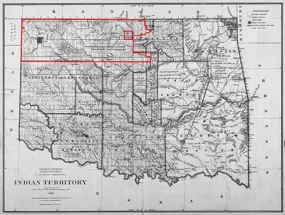
Map Of Oklahoma Highlighting Kay County
A map is a symbolic depiction emphasizing relationships between elements of some space, such as objects, regions, or themes. Many maps are static, fixed to paper or some other durable medium, while others are dynamic or interactive. Although most commonly used to depict geography, maps may represent any space, real or fictional, without regard to context or scale, such as in brain mapping, DNA mapping, or computer network topology mapping. The space being mapped may be two dimensional, such as the surface of the earth, three dimensional, such as the interior of the earth, or even more abstract spaces of any dimension, such as arise in modeling phenomena having many independent variables. Although the earliest maps known are of the heavens, geographic maps of territory have a very long tradition and exist from ancient times. The word "map" comes from the , wherein ''mappa'' meant 'napkin' or 'cloth' and ''mundi'' 'the world'. Thus, "map" became a shortened term referring to ... [...More Info...] [...Related Items...] OR: [Wikipedia] [Google] [Baidu] |
Tonkawa, Oklahoma
Tonkawa is a city in Kay County, Oklahoma, United States, along the Salt Fork Arkansas River. The population was 3,216 at the 2010 census, a decline of 2.5 percent from the figure of 3,299 in 2000. History Named after the Tonkawa tribe, the city of Tonkawa was founded in March 1894, by Eli V. Blake and Wiley William Gregory. Blake and Gregory, originally from Kansas, claimed the land that would become Tonkawa in the Land Run of 1893. Prior to the land run, from 1879 to 1885, the area was known as "Fort Oakland", home to the Nez Perce people. In 1885, the remnants of the Tonkawa tribe, who had fled Indian Territory after the 1862 Tonkawa Massacre, returned to settle in the Fort Oakland area. The Blackwell and Southern Railway (later bought by the Atchison, Topeka and Santa Fe Railway) built a line through Tonkawa, which stimulated growth of the town. In 1901, the Oklahoma Territory Legislature established the University Preparatory School (now Northern Oklahoma College) here. By ... [...More Info...] [...Related Items...] OR: [Wikipedia] [Google] [Baidu] |
National Register Of Historic Places Listings In Oklahoma
This is a list of properties and historic districts in Oklahoma that are designated on the National Register of Historic Places. Listings are distributed across all of Oklahoma's 77 counties. The following are approximate unofficial tallies of current listings by county.These counts are based on entries in the National Register Information Database as of March 13, 2009 and new weekly listings posted since then on the National Register of Historic Places web site. There are frequent additions to the listings and occasional delistings. New entries are added to the official Register on a weekly basis. Also, the counts do not take into consideration the modification of sites covered by an existing property or district, although carrying a separate National Register reference number. Current listings by county See also *List of National Historic Landmarks in Oklahoma *List of bridges on the National Register of Historic Places in Oklahoma References External links ... [...More Info...] [...Related Items...] OR: [Wikipedia] [Google] [Baidu] |
List Of National Historic Landmarks In Oklahoma
The List of National Historic Landmarks in Oklahoma contains the landmarks designated by the U.S. Federal Government The federal government of the United States (U.S. federal government or U.S. government) is the Federation#Federal governments, national government of the United States, a federal republic located primarily in North America, composed of 50 ... for the U.S. state of Oklahoma. There are 22 National Historic Landmarks in Oklahoma. The following table is a complete list. See also *National Register of Historic Places listings in Oklahoma *List of National Historic Landmarks by state References External links * {{Oklahoma Lists of National Historic Landmarks by state, Oklahoma National Historic Landmarks in Oklahoma, Oklahoma-related lists, National Historic Landmarks Lists of buildings and structures in Oklahoma, National Historic Landmarks ... [...More Info...] [...Related Items...] OR: [Wikipedia] [Google] [Baidu] |
White Eagle, Oklahoma
White Eagle is an unincorporated community in Kay County, Oklahoma, United States. White Eagle was named for the Ponca principal chief, White Eagle (ca. 1840-1914), who led the Ponca to their reservation in Indian Territory. Other names for the town are Ponca, White Eagle Agency, and Whiteagle. Geography White Eagle is located in southeastern Kay County, just east of the Salt Fork and approximately one and one quarter miles west-northwest of the confluence of the Salt Fork with the Arkansas River. The community is on U.S. Route 177, five miles south of Ponca City. Demographics Politics White Eagle is the headquarters for the Ponca Tribe of Indians of Oklahoma The Ponca Tribe of Indians of Oklahoma, also known as the Ponca Nation, is one of two federally recognized tribes of Ponca people. The other is the Ponca Tribe of Nebraska. Traditionally, peoples of both tribes have spoken the Omaha-Ponca languag ....Van de Logt, MarkPonca.''Oklahoma Historical Society's Encyclopedia of ... [...More Info...] [...Related Items...] OR: [Wikipedia] [Google] [Baidu] |
Washunga, Oklahoma
Washunga is a small community and ghost town in Kay County, Oklahoma, United States. Washunga was named for the leader of the Kaw Indians in the late 19th and early 20th century. The word means ''"bird"'' in the Kaw language. The name was often spelled ''Washungah.'' The town was established in 1903 at the headquarters of the Kaw tribe, called the Kaw Agency. A post office was established at the Kaw Agency in 1880 and continued until 1918. The building housing the former Kaw Agency is listed on the NRHP. In the early 1970s, the building was relocated a few hundred yards north to the present site as the waters of Kaw Lake covered the original site. History In 1873, 533 Kaw Indians were removed from their reservation near Council Grove, Kansas to a new reservation in what would become Kay County, Oklahoma. The land of their reservation in Kansas had been encroached upon by white settlers and their residence there had become untenable. The land of their new reservation, totaling , ... [...More Info...] [...Related Items...] OR: [Wikipedia] [Google] [Baidu] |
Arkansas River
The Arkansas River is a major tributary of the Mississippi River. It generally flows to the east and southeast as it traverses the U.S. states of Colorado, Kansas, Oklahoma, and Arkansas. The river's source basin lies in the western United States in Colorado, specifically the Arkansas River Valley. The headwaters derive from the snowpack in the Sawatch and Mosquito mountain ranges. It flows east into the Midwest via Kansas, and finally into the South through Oklahoma and Arkansas. At , it is the sixth-longest river in the United States, the second-longest tributary in the Mississippi–Missouri system, and the 45th longest river in the world. Its origin is in the Rocky Mountains in Lake County, Colorado, near Leadville. In 1859, placer gold discovered in the Leadville area brought thousands seeking to strike it rich, but the easily recovered placer gold was quickly exhausted. The Arkansas River's mouth is at Napoleon, Arkansas, and its drainage basin covers nearly .See wat ... [...More Info...] [...Related Items...] OR: [Wikipedia] [Google] [Baidu] |
Kaw City, Oklahoma
Kaw City is a city in eastern Kay County, Oklahoma, United States. The population was 375 at the 2010 census, an increase of 1 percent from the figure of 372 in 2000. Kaw City was named for the Kanza Indians, called ''the Kaw'' by locals. History In 1902, the original Kaw City was founded, prior to Oklahoma statehood, as a farming community in the fertile oxbow bend of the Arkansas River.Pittman, Annette. ''Encyclopedia of Oklahoma History and Culture''. "Kaw City/ref> Kaw City was across the river from the Kaw Indian reservation and the Kaw Agency. By statehood in 1907, it had 486 inhabitants. Although the original town site is now inundated by the waters of Kaw Lake, the old town was quite a busy place. It became a booming oil town in 1919, when 'black gold' was discovered in nearby Kay County and the present Osage Nation reservation. The population jumped from 627 in 1920 to 1,001 in 1930. It even had a very popular four-story hotel filled with one of the world's rarest ar ... [...More Info...] [...Related Items...] OR: [Wikipedia] [Google] [Baidu] |
Blackwell, Oklahoma
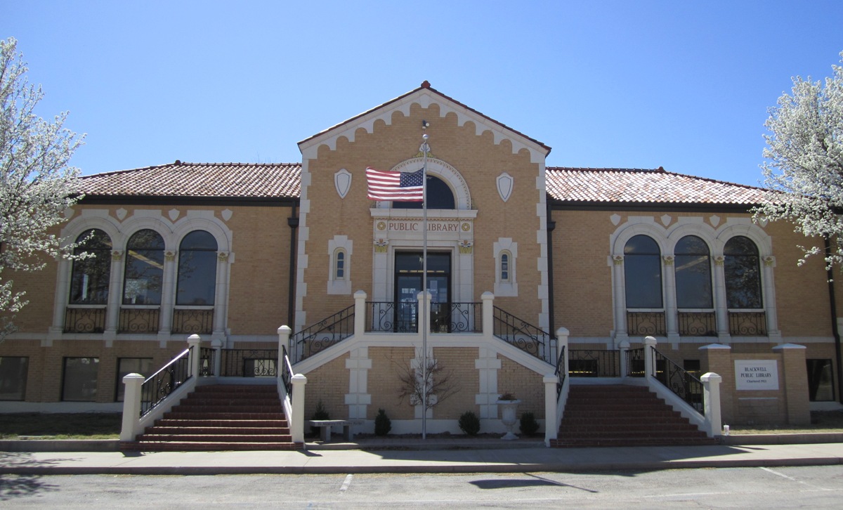
Blackwell is a city in Kay County, Oklahoma, United States, located at the intersection of U.S. Highway 177 and State Highway 11 along Interstate 35 (exit #222). The population was 7,092 at the 2010 census and 6,085 in the 2020 Census. Blackwell was established following the September 16, 1893 Cherokee Outlet land run by A. J. Blackwell.Wilson, Linda Blackwell, OklahomaOklahoma Historical Society Blackwell has an agricultural and fossil fuel based economy. History Founding Blackwell came into existence during the Cherokee Outlet Opening on September 16, 1893 in the run known as the Cherokee Strip Land Run. The town is named for A. J. Blackwell, who was the dominant force in its founding. Andrew Blackwell had settled in the area in 1882, having married the former Rosa Vaught who was of Cherokee descent, he was eligible to found the city. Blackwell served as Justice of the Peace and Mayor of Blackwell."Blackwell, Andrew Jackson," ''Herringshaw's Encyclopedia of American Biogra ... [...More Info...] [...Related Items...] OR: [Wikipedia] [Google] [Baidu] |
National Register Of Historic Places
The National Register of Historic Places (NRHP) is the United States federal government's official list of districts, sites, buildings, structures and objects deemed worthy of preservation for their historical significance or "great artistic value". A property listed in the National Register, or located within a National Register Historic District, may qualify for tax incentives derived from the total value of expenses incurred in preserving the property. The passage of the National Historic Preservation Act (NHPA) in 1966 established the National Register and the process for adding properties to it. Of the more than one and a half million properties on the National Register, 95,000 are listed individually. The remainder are contributing resources within historic districts. For most of its history, the National Register has been administered by the National Park Service (NPS), an agency within the U.S. Department of the Interior. Its goals are to help property owners and inte ... [...More Info...] [...Related Items...] OR: [Wikipedia] [Google] [Baidu] |
Newkirk, Oklahoma
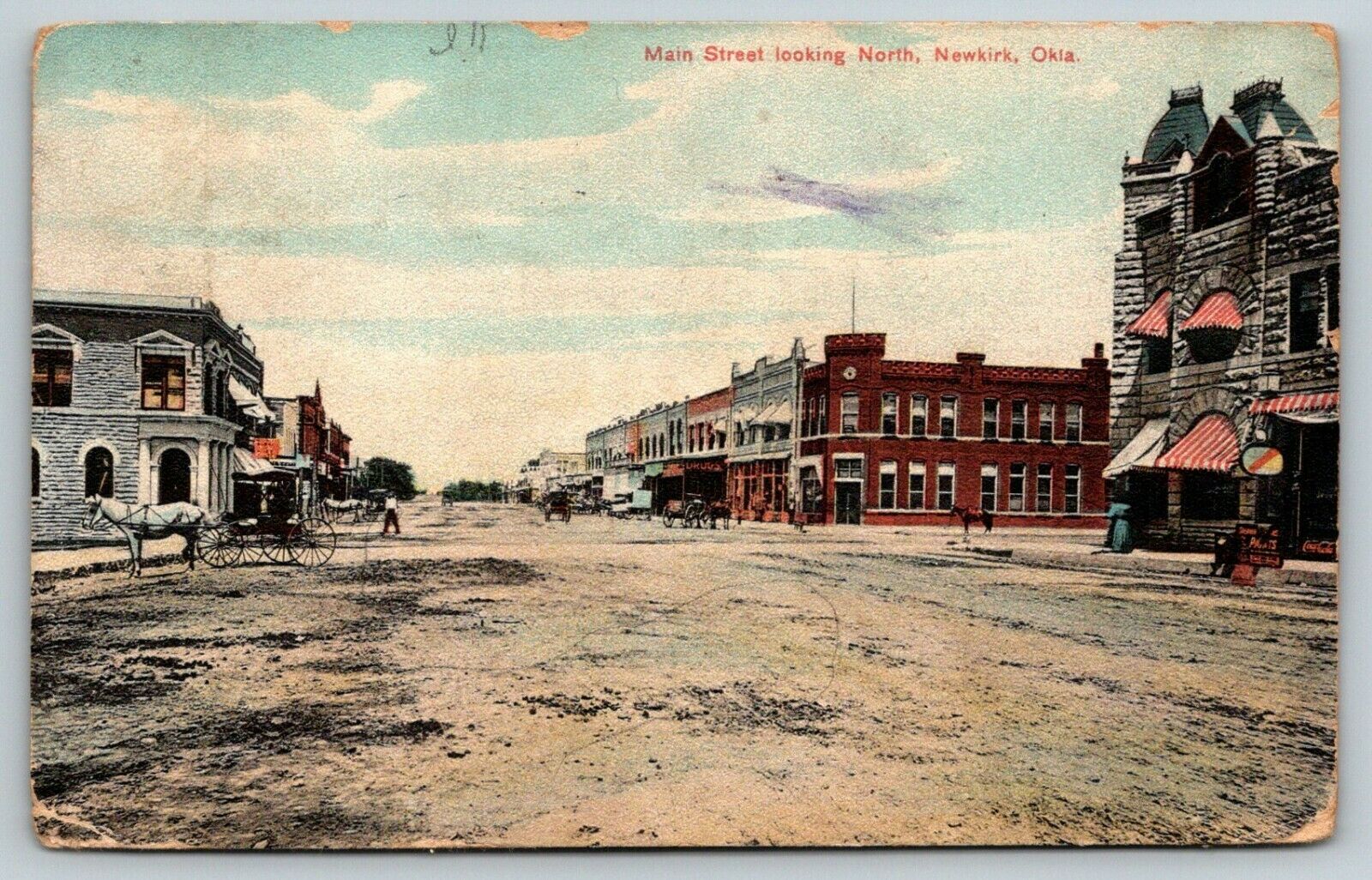
Newkirk is a city and county seat of Kay County, Oklahoma, United States. The population was 2,172 at the 2020 census. History Newkirk is on land known as the Cherokee Outlet (popularly called the "Cherokee Strip"), which belonged to the Cherokee Indians until 1893. The Cherokee acquiesced to the demand of the president and Department of the Interior to sell the land, then part of Oklahoma Territory, to the U.S. government. Efforts to buy the land from the Cherokee began in 1889, but were not concluded until 1893 when Congress authorized the purchase and the land was opened to non-Indian settlement by means of the Cherokee Strip Land Run on September 16, 1893. An estimated 100,000 people raced to claim plots of land. The town of Newkirk had been laid out before the run by the government as the county seat of “K” county. It was named Lamoreaux after Silas W. Lamoreaux, who was commissioner of the General Land Office. Two miles north of Lamoreaux was Kirk, a Santa Fe Railroa ... [...More Info...] [...Related Items...] OR: [Wikipedia] [Google] [Baidu] |
Ponca City, Oklahoma
Ponca City ( iow, Chína Uhánⁿdhe) is a city in Kay County in the U.S. state of Oklahoma. The city was named after the Ponca tribe. Ponca City had a population of 25,387 at the time of the 2010 census- and a population of 24,424 in the 2020 census. History Ponca City was created in 1893 as "New Ponca" after the United States opened the Cherokee Outlet for European-American settlement during the Cherokee Strip land run, the largest land run in United States history. The site for Ponca City was selected for its proximity to the Arkansas River and the presence of a freshwater spring near the river. The city was laid out by Burton Barnes, who drew up the first survey of the city and sold certificates for the lots he had surveyed. After the drawing for lots in the city was completed, Barnes was elected the city's first mayor.Louis Seymour Barnes"The Founding of Ponca City" ''Chronicles of Oklahoma'' 35 (Summer 1957). Another city, Cross, vied with Ponca City to become the ... [...More Info...] [...Related Items...] OR: [Wikipedia] [Google] [Baidu] |


