|
National Register Of Historic Places In Pickens County, South Carolina
__NOTOC__ This is a list of the National Register of Historic Places listings in Pickens County, South Carolina. This is intended to be a complete list of the properties and districts on the National Register of Historic Places in Pickens County, South Carolina, United States. The locations of National Register properties and districts for which the latitude and longitude coordinates are included below, may be seen in a map. There are 29 properties and districts listed on the National Register in the county, including 1 National Historic Landmark. Current listings See also *List of National Historic Landmarks in South Carolina *National Register of Historic Places listings in South Carolina Image:South Carolina counties map.png, 400px, South Carolina counties (clickable map) poly 112 69 79 78 76 91 63 99 62 103 58 103 53 110 53 114 49 113 43 118 43 126 38 130 39 138 46 144 52 149 56 153 57 155 66 155 71 162 78 170 81 171 82 176 94 ... ... [...More Info...] [...Related Items...] OR: [Wikipedia] [Google] [Baidu] |
Map Of South Carolina Highlighting Pickens County
A map is a symbolic depiction emphasizing relationships between elements of some space, such as Physical body, objects, regions, or themes. Many maps are static, fixed to paper or some other durable medium, while others are dynamic or interactive. Although most commonly used to depict geography, maps may represent any space, real or fictional, without regard to Context (language use), context or Scale (map), scale, such as in brain mapping, DNA mapping, or computer network topology mapping. The space being mapped may be two dimensional, such as the surface of the earth, three dimensional, such as the interior of the earth, or even more abstract spaces of any dimension, such as arise in modeling phenomena having many independent variables. Although the earliest maps known are of the heavens, geographic maps of territory have a very long tradition and exist from ancient times. The word "map" comes from the , wherein ''mappa'' meant 'napkin' or 'cloth' and ''mundi'' 'the world'. ... [...More Info...] [...Related Items...] OR: [Wikipedia] [Google] [Baidu] |
Hagood Creek Petroglyph Site
The South Carolina Petroglyph Site is a county-owned museum at Hagood Mill Historic Site in Pickens County, South Carolina, managed by the non-profit Hagood Mill Foundation. The museum exhibits and protects in situ at least 32 rock art carvings (including 17 human figures), most believed to be prehistoric. The Hagood petroglyphs were discovered on a rainy day in January 2003 by Michael Bramlett, a volunteer with the South Carolina Petroglyph Survey headed by University of South Carolina archaeologist Tommy Charles. Subsequently Charles and his team examined the large, low-lying boulder at night with side-scanning lights and found other glyphs invisible in daylight. Because a large portion of the boulder lay beneath a dirt road constructed in the 1820s, Charles received permission from Pickens County to excavate the covered portion of the rock. There he discovered additional human representations, all "sticklike figures" except for one with a head and legs but no arms and with ... [...More Info...] [...Related Items...] OR: [Wikipedia] [Google] [Baidu] |
National Register Of Historic Places Listings In South Carolina
Image:South Carolina counties map.png, 400px, South Carolina counties (clickable map) poly 112 69 79 78 76 91 63 99 62 103 58 103 53 110 53 114 49 113 43 118 43 126 38 130 39 138 46 144 52 149 56 153 57 155 66 155 71 162 78 170 81 171 82 176 94 184 119 156 116 156 122 150 119 145 117 140 119 133 111 131 114 122 111 110 111 98 111 92 110 87 106 83 108 77 111 69 Oconee County poly 132 63 112 68 109 76 109 78 106 81 109 85 111 97 112 109 112 118 116 120 112 131 118 133 123 150 129 145 179 116 176 98 171 86 170 82 170 78 163 78 162 71 162 67 166 67 154 68 138 71 134 67 132 64 Pickens County poly 180 116 131 144 96 181 110 182 115 186 120 204 126 210 129 220 135 225 135 235 204 183 194 174 188 168 182 148 184 131 184 123 Anderson County poly 223 44 214 43 207 45 203 43 198 45 196 39 188 48 186 46 173 50 167 52 152 57 148 56 146 61 135 66 138 70 166 66 162 69 163 78 170 79 179 105 180 116 185 125 183 146 188 162 189 170 206 183 219 173 218 162 234 125 222 111 Greenville County poly 2 ... [...More Info...] [...Related Items...] OR: [Wikipedia] [Google] [Baidu] |
List Of National Historic Landmarks In South Carolina
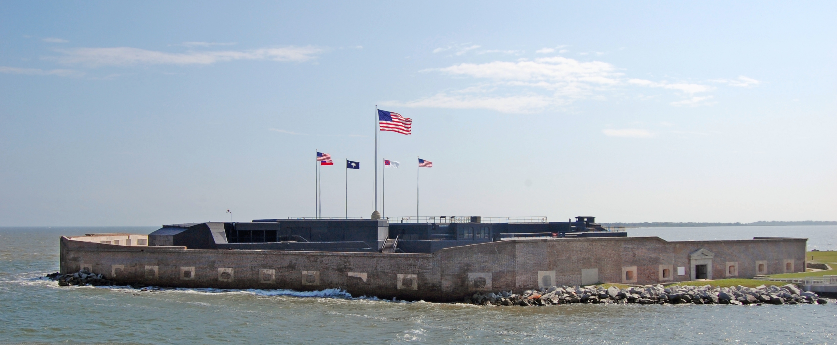
This is a List of National Historic Landmarks in South Carolina, United States. The United States' National Historic Landmark (NHL) program is operated under the auspices of the National Park Service, and recognizes buildings, sites, structures, districts, and objects according to a list of criteria of national significance. There are 76 NHLs in South Carolina and 3 additional National Park Service-administered areas of primarily historic importance. Architects whose work is recognized by two or more separate NHLs in the state are: * Robert Mills (8 sites), * Edward Brickell White (4 sites), *Gabriel Manigault (3 sites), and *William Wallace Anderson (2 sites). These tallies do not include any buildings that are contributing properties within historic districts unless they are also individually designated as NHLs. There are five places listed for their association with artists and writers.Places associated with an artist or writer are: Atalaya and Brookgreen Gardens/Anna Huntingt ... [...More Info...] [...Related Items...] OR: [Wikipedia] [Google] [Baidu] |
Table Rock State Park (South Carolina)
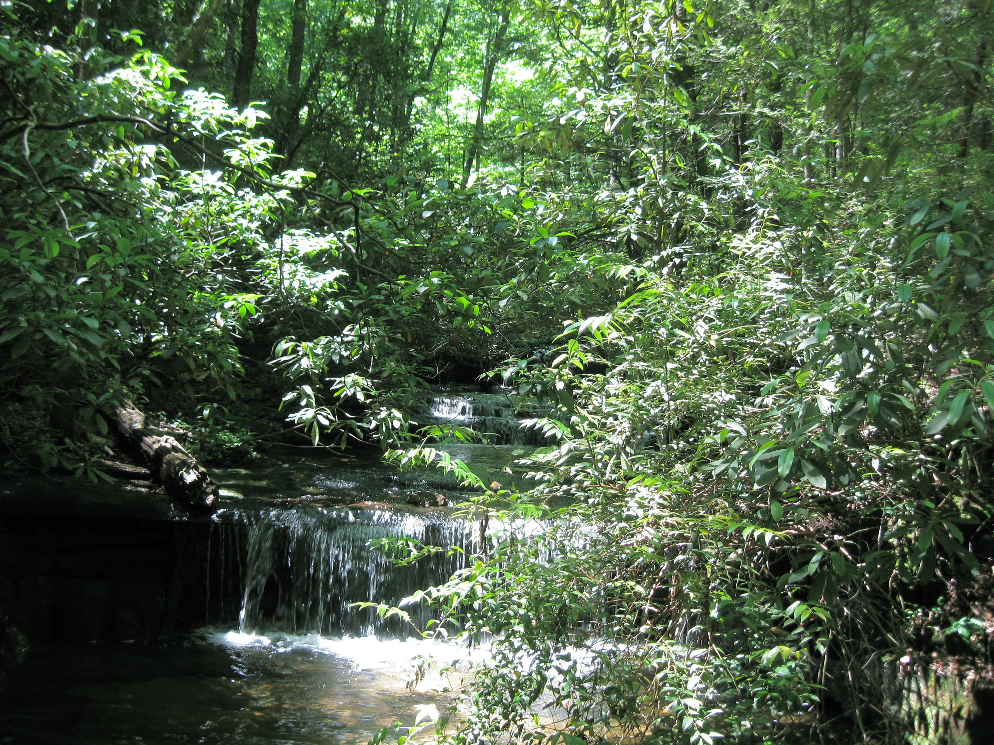
Table Rock State Park is a park at the edge of the Blue Ridge Mountains in northern Pickens County, South Carolina. The park includes Pinnacle Mountain, the tallest mountain totally within the state.. Park Features The park features a lodge built by the Civilian Conservation Corps (CCC) that includes a kitchen and a 72-seat dining room. There are two park lakes that accommodate seasonal swimming and hiking trails that lead to Mill Creek Falls, the Pinnacle Mountain summit (two routes), and Table Rock summit. A nature center offers educational programs, and there are picnic shelters and a playground. Trails The Carrick Creek Nature Trail loops around two creeks with small cascades and waterfalls and displays wildflowers in season. The Table Rock Summit Trail is moderately strenuous, rising above the trailhead and includes a shelter built by the CCC. At approximately , the trail forks, the left fork following a ridge trail to Pinnacle Mountain and the right fork to the summi ... [...More Info...] [...Related Items...] OR: [Wikipedia] [Google] [Baidu] |
South Carolina Highway 40
U.S. Route 701 (US 701) is an auxiliary route of US 1 in the U.S. states of South Carolina and North Carolina. The U.S. Highway runs from US 17 and US 17 Alternate in Georgetown, South Carolina north to US 301, North Carolina Highway 96 (NC 96), and Interstate 95 (I-95) near Four Oaks, North Carolina. US 701 serves the Pee Dee region of South Carolina and the southern and central portions of Eastern North Carolina. The highway connects Georgetown and Conway in South Carolina with the North Carolina cities of Whiteville, Elizabethtown, Clinton, and a short distance north of its terminus, Smithfield. US 701 has four business routes in North Carolina, including those through Tabor City, Whiteville, Clarkton, and Clinton. Route description US 701 has a length of in South Carolina and spans in North Carolina. The U.S. Highway is a part of the National Highway System for one short stretches during its concurrency with NC 24 in Clinton. South Carolina US 701 begins at an i ... [...More Info...] [...Related Items...] OR: [Wikipedia] [Google] [Baidu] |
National Register Of Historic Places Listings In Oconee County, South Carolina
__NOTOC__ This is a list of the National Register of Historic Places listings in Oconee County, South Carolina. This is intended to be a complete list of the properties and districts on the National Register of Historic Places in Oconee County, South Carolina, United States. The locations of National Register properties and districts for which the latitude and longitude coordinates are included below, may be seen on a map. There are 23 properties and districts listed on the National Register in the county. Another 2 properties were once listed but have been removed. Current listings Former listings See also *List of National Historic Landmarks in South Carolina *National Register of Historic Places listings in South Carolina Image:South Carolina counties map.png, 400px, South Carolina counties (clickable map) poly 112 69 79 78 76 91 63 99 62 103 58 103 53 110 53 114 49 113 43 118 43 126 38 130 39 138 46 144 52 149 56 153 57 155 66 155 71 ... [...More Info...] [...Related Items...] OR: [Wikipedia] [Google] [Baidu] |
National Register Of Historic Places Listings In Anderson County, South Carolina
__NOTOC__ This is a list of the National Register of Historic Places listings in Anderson County, South Carolina. This is intended to be a complete list of the properties and districts on the National Register of Historic Places in Anderson County, South Carolina, United States. The locations of National Register properties and districts for which the latitude and longitude coordinates are included below, may be seen in a map. There are 24 properties and districts listed on the National Register in the county. Another 2 properties were once listed but have been removed. Current listings Former listings See also *List of National Historic Landmarks in South Carolina *National Register of Historic Places listings in South Carolina Image:South Carolina counties map.png, 400px, South Carolina counties (clickable map) poly 112 69 79 78 76 91 63 99 62 103 58 103 53 110 53 114 49 113 43 118 43 126 38 130 39 138 46 144 52 149 56 153 57 155 66 1 ... [...More Info...] [...Related Items...] OR: [Wikipedia] [Google] [Baidu] |
Pendleton, South Carolina
Pendleton is a town in Anderson County, South Carolina, United States. The population was 3,489 at the 2020 census. It is a sister city of Stornoway in the Outer Hebrides of Scotland. The Pendleton Historic District, consisting of the town and its immediate surroundings, was added to the National Register of Historic Places in 1970. Particularly notable historic buildings on the Pendleton town square include Farmer's Hall and Hunter's Store, which is currently the headquarters of the Pendleton District Historical, Recreational and Tourism Commission. Near Pendleton are the historic plantation homes Ashtabula and Woodburn. History For centuries, the land that is now Pendleton was the territory of the Cherokee nation. After England claimed South Carolina as a colony, the Cherokee traded with the British. After the Cherokee lost the war of 1759–60 against the British, the British dominated trade in the region and began to settle more of the land with large farms. Andrew Pickens ... [...More Info...] [...Related Items...] OR: [Wikipedia] [Google] [Baidu] |
Liberty, South Carolina
Liberty is a city in Pickens County, South Carolina, United States. It is part of the Greenville– Mauldin– Easley Metropolitan Statistical Area. The city was chartered on March 2, 1876. Toponymy How exactly Liberty got its name has been a source of debate over the years. There are no real historical accounts of why Liberty was given the name it was. The most popular—though probably mythical—story regarding the reason the area was named Liberty was put forth by Mrs. Annie Craig in 1936: "At the close of the Revolutionary war a religious meeting was being held at a church close to a spring near the present town of Liberty when the word came that Cornwallis had surrendered and the colonies had gained their independence. This church was named Liberty and it and the spring were located just beyond where the cemetery is now located, hence the name Liberty." Some have claimed that Liberty was once named Salubrity Springs, but was renamed Liberty in the late 19th centu ... [...More Info...] [...Related Items...] OR: [Wikipedia] [Google] [Baidu] |
South Carolina Highway 93
South Carolina Highway 93 (SC 93) is a primary state highway in the U.S. state of South Carolina. It travels from U.S. Route 76 (US 76) and SC 28 in Clemson northeast to US 123 in Easley. Route description The highway begins at an interchange with the US 76/SC 28 concurrency and Old Greenville Highway east of downtown Clemson. West of this point, Old Greenville Highway passes through downtown Clemson and the campus of Clemson University and is signed as SC 93 though it is not officially part of the highway. SC 93 heads northeast exiting the city, it then has an interchange with US 123. It then runs through Central to Norris, where it meets SC 137. From Norris, the road continues northeast into Liberty. In downtown Liberty, SC 93 intersects US 178. After leaving Liberty, the highway continues toward Easley. As it enters Easley on Liberty Drive, it promptly meets SC 8, after which it enters downtown on West Main Stree ... [...More Info...] [...Related Items...] OR: [Wikipedia] [Google] [Baidu] |
Dacusville, South Carolina
Dacusville is a small unincorporated community and census-designated place (CDP) in Pickens County, South Carolina, United States. It is best known for its tractor show once a year in the month of September. The community also has an elementary school and a middle school. It was first listed as a CDP in the 2020 census with a population of 399. Hester Store was listed on the National Register of Historic Places in 2013. Dacusville is located in the Greenville-Anderson Metropolitan Statistical Area and the Greenville-Spartanburg-Anderson Combined Statistical Area. History Dacusville was named for Archibald Dacus. Dacus was born in Lunenburg County, Virginia Lunenburg County is a county located in the Commonwealth of Virginia. As of the 2020 census, the population was 11,936. Its county seat is Lunenburg. History Lunenburg County was established on May 1, 1746, from Brunswick County. The county ..., in 1769, to John and Mara Dacus. In the late seventeen hundreds, he mov ... [...More Info...] [...Related Items...] OR: [Wikipedia] [Google] [Baidu] |

.jpg)


