|
Nandura
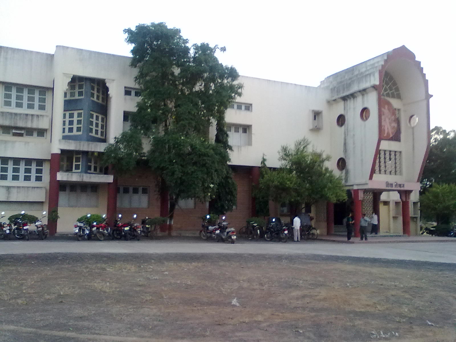
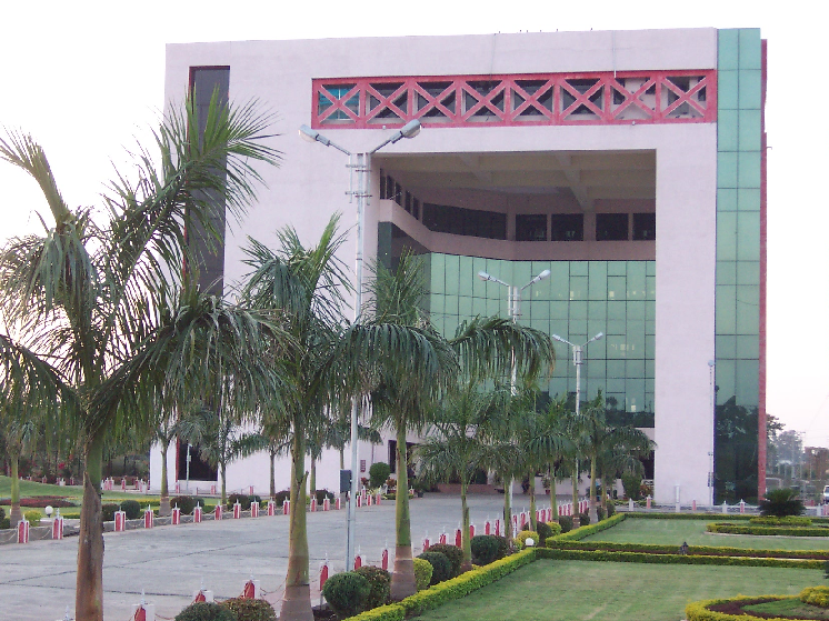
Nandura is a city municipal council in the Buldhana district, Maharashtra, India. It is the headquarters of Nandura taluka and is situated on the National Highway No. 6 and the Mumbai-Howrah railway line. Nandura is an important city in the Buldhana district. The municipality of Nandura was established during the British Raj in 1931. Nandura is famous for 'Khawa' (condensed milk). The place is major supplier of milk products to all nearby area. History According to 'Mahagovind Sutant' a Buddhist novel, Nandura was established in ancient time. It was capital of 'Assak' kingdom (one of the 16 ancient kingdoms (Mahajanpad) in ancient India (2600 B.C.). Nandura was called as 'Potan' at that time. According to Ain-e-Akbari, Nandura was an integral part of Gulshan-e-Berar in the Medieval era, beginning in the Khilji dynasty until the Mughal era. The city remembers various rulers, Saints (Sant) of Maharashtra who ruled on the land and the heart of the people of Nandura. Various links ... [...More Info...] [...Related Items...] OR: [Wikipedia] [Google] [Baidu] |
Buldhana District
Buldhana district (Marathi pronunciation: ulɖʰaːɳa is located in the Amravati division of Maharashtra, India. It is situated at the western border of Vidarbha region and is 500 km away from the state capital, Mumbai. The district has towns and cities like Shegaon, Jalgaon Jamod, Malkapur, Khamgaon, Lonar, Mehkar, and Chikhli. It is surrounded by Madhya Pradesh in the north, Akola, Washim, and Amravati districts on the east, Jalna district on the south, and Jalgaon and Aurangabad districts on the west. Khamgaon is the largest city in the district. Latitudes are 19.51° to 21.17° N and longitudes are 75.57° to 76.59° E. Buldhana district holds religious significance as it is the site of the Shri Gajanan Maharaj Temple, Shegaon. Lonarkar Top (about 923 meters) is highest altitude in Buldhana District placed in Ambabarwa Wildlife Sanctuary. History The name of the district is probably derived from ''Bhil Thana'' (place of Bhils, a tribal group). Buldhana, along wi ... [...More Info...] [...Related Items...] OR: [Wikipedia] [Google] [Baidu] |
Jalgaon Jamod
Jalgaon Jamod is a town in Buldhana district of Indian States and territories of India, state of Maharashtra. History The name Jalgaon is a combination of two Marathi language, Marathi words, Jal and Gaon, that mean village of water. This name came because of heavy water resources around the town. The name 'Jalgaon Jamod' developed because of a smaller village called 'Jamod' near to Jalgaon. Mughal emperors gave the name ‘Jamod’ after 1630 AD, when Mughal emperor Shahjahan's wife Mumtaz Mahal was traveling with Shah Jahan, Shah Jahan's earlier military campaigns. She started facing pregnancy complications in Jamod which led to death in the city of Burhanpur near Jalgaon Jamod. After this incident Mughals started calling the village Ja-e-Maut (Place of Death). Ja-e-Maut was a Persian word later called Ja-maut, Ja-mod or Jamod by locals. As per Ain-e-Akbari, it was a Pargana town in the Sarkar (country subdivision), Sarkar (then district) of Narnala of Berar Subah. "Raja ... [...More Info...] [...Related Items...] OR: [Wikipedia] [Google] [Baidu] |
Buldhana
Buldhana is the district headquarters and a Municipal Council in the Buldhana District of Amravati division in the Indian State of Maharashtra. Climate Demographics As of the 2011 India census, Buldhana had a population of 67,431. Males constitute 52% of the population and females 48%. Buldhana has an average literacy rate of 82%, higher than the national average of 59.5%, with male literacy at 82% and female literacy at 72%. 13% of the population is under six years of age. Languages and Culture The most common language spoken in Buldhana is the Marathi language. More than 98 percent of cities population speak Marathi as first language. Marathi is a compulsory subject taught in English and Hindi Medium school. Hindi is spoken by 1 percent of population. All Hindi speakers in Buldhana can speak fluent Marathi due to its commercial status. Transport There is a Maharashtra State Road Transport Corporation bus stand in the city. There are State Transport bus depots at Buldhan ... [...More Info...] [...Related Items...] OR: [Wikipedia] [Google] [Baidu] |
Dnyanganga River
Dnyangangaalso sometimes spelt as "Gyanganga" as the Marathi consonant 'ज्ञ' is pronounced differently in Marathi and other Indian languages. Ganga is used as a suffix in the name of several other rivers in India. ( mr, ज्ञानगंगा नदी) is a minor river in Buldhana district of Maharashtra, India. It is a tributary of the Purna River, which itself is a tributary of the Tapti River. See also *List of rivers of India *Rivers of India The rivers in India play an important role in the lives of its people. They provide potable water, cheap transportation, electricity, and the livelihood for many people nationwide. This easily explains why nearly all the major cities of India are l ... External links References Tributaries of Purna river Rivers of Maharashtra Rivers of India {{India-river-stub ... [...More Info...] [...Related Items...] OR: [Wikipedia] [Google] [Baidu] |
River Dnyanganga
Dnyangangaalso sometimes spelt as "Gyanganga" as the Marathi consonant 'ज्ञ' is pronounced differently in Marathi and other Indian languages. Ganga is used as a suffix in the name of several other rivers in India. ( mr, ज्ञानगंगा नदी) is a minor river in Buldhana district of Maharashtra, India. It is a tributary of the Purna River, which itself is a tributary of the Tapti River. See also *List of rivers of India *Rivers of India The rivers in India play an important role in the lives of its people. They provide potable water, cheap transportation, electricity, and the livelihood for many people nationwide. This easily explains why nearly all the major cities of India are l ... External links References Tributaries of Purna river Rivers of Maharashtra Rivers of India {{India-river-stub ... [...More Info...] [...Related Items...] OR: [Wikipedia] [Google] [Baidu] |
Shegaon
Shegaon is a city and municipal council in the Buldhana district in the Indian state of Maharashtra. Shegaon has become a pilgrimage centre due to the influence of Shri Sant Gajanan Maharaj, who is considered a saint by Hindus. Transportation Shegaon is located west of Nagpur and east of Mumbai. It is connected by Hajira–Dhule–Howrah National Highway 6 to Khamgaon, Balapur, Malkapur and Akola. Shegaon Railway station is located on the Howrah–Nagpur–Mumbai line of the Central Railway of Indian Railways. It has direct train connectivity to Mumbai CST, Lokmanya Tilak Terminus Mumbai, Delhi, Chennai, Secunderabad, Pune, Akola, Tatanagar, Ahmedabad, Okha, Kolhapur, Amravati, Wardha, Nanded, Nagpur, Gondia, Bilaspur, Howrah Station, Shalimar Station, Chandrapur railway station, and Chennai Central. Several Mumbai trains stop at Shegaon, including the Gitanjali Express, Vidarbha Express, Amravati Superfast Express, Mumbai–Howrah Mail and Express, Sewagram Express, ... [...More Info...] [...Related Items...] OR: [Wikipedia] [Google] [Baidu] |
Khamgaon
Khamgaon is a city in Buldhana District, Maharashtra, India. It is the largest city in Buldhana district. It is well connected to all other big cities of Maharashtra and India through National Highway 6 and other state highways. Khamgaon Terminal has a single platform which goes to Jalamb junction only. The city needs express connectivity, so Indian Railways has decided to give halt to some express trains at Jalamb Junction so people can travel accordingly. The city has a big market as well. The city imports and exports many goods. Freight trains depart from and arrive in the city daily. Khamgaon is known for being one of the hottest cities in Maharashtra with temperature often hitting 47–48 degrees Celsius during summer. Also, the rainfall is pretty low in the region which has led to water scarcity many times in the city over the past. Khamgaon is often called "Silver City" because it has a renowned silver market, with pure form of silver products available. Amitabh Bachchan ... [...More Info...] [...Related Items...] OR: [Wikipedia] [Google] [Baidu] |
Malkapur, Buldhana
Malkapur is a city and municipality in the Buldhana district of Maharashtra, India. Malkapur is one of the largest cotton producers in the area. In the British era, it was known as the "White gold of Vidarbha". Malkapur has a vast paper industry and the primary paper suppliers to Mumbai are in Malkapur. Malkapur has many Dal mills, and a major agricultural industry specializing in Mahyco and Ankur seeds, chemical plants, and a fruit ripening chamber. Malkapur is a well-known grain and cloth market due to its proximity to Madhya Pradesh. It is one of the major producers of red chilli. Demographics According to the 2011 census, Malkapur Municipal Council has a population of 67,740. In which 34,693 are males and 33,047 females . Malkapur has an average literacy rate of 82%, higher than the national average of 75%. The male literacy is 89% and female literacy is 75%. In Malkapur, 20% of the population is under 6 years of age. Transport Malkapur is located on the Hajira - Kol ... [...More Info...] [...Related Items...] OR: [Wikipedia] [Google] [Baidu] |
Akola
Akola () is a municipal corporation and the third largest city in Vidarbha after Nagpur and Amravati and tenth largest city in Maharashtra. is located about east of the state capital, Mumbai, and west of the second capital, Nagpur. Akola is the administrative headquarters of the Akola district located in the Amravati division, and is governed by the Akola Municipal Corporation. Akola is located north-central of Maharashtra state, western India, on the banks of the Morna River. Although it is not considered a common tourist destination, Akola is an important city due to its history, culture, politics, and agriculture. It also has a prominent road and rail junction in the Tapti River valley that functions as a commercial trading center. Akola is an important educational center with several colleges affiliated with the Sant Gadge Baba Amravati University. The city is developing into a market center. The primary language spoken by the people of Akola is Marathi. History ... [...More Info...] [...Related Items...] OR: [Wikipedia] [Google] [Baidu] |
Motala
Motala () is a locality and the seat of Motala Municipality, Östergötland County, Sweden with 29,823 inhabitants (41,956 in the entire municipality) in 2010. It is the third largest city of Östergötland, following Linköping and Norrköping. Motala is situated on the eastern shore of Lake Vättern and is regarded as the main centre of both the Göta Canal and the surrounding lake region. History Motala Church dates from the 13th century. For several centuries, Motala remained a small village, mainly regarded as a stopping post on the road to the nearby town of Vadstena, one of the cultural centres of medieval Sweden. However, King Gustav Vasa had a manor house built at Motala and later Queen Kristina had a summer residence built at the spa resort of Medevi, 20 km north of the town. When the Göta Canal was built in the early 19th century, Motala became an important town for the trade on the canal. The builder of the canal, Baltzar von Platen, has his grave beside it ... [...More Info...] [...Related Items...] OR: [Wikipedia] [Google] [Baidu] |
Tehsil
A tehsil (, also known as tahsil, taluka, or taluk) is a local unit of administrative division in some countries of South Asia. It is a subdistrict of the area within a district including the designated populated place that serves as its administrative centre, with possible additional towns, and usually a number of villages. The terms in India have replaced earlier terms, such as '' pargana'' (''pergunnah'') and ''thana''. In Andhra Pradesh and Telangana, a newer unit called mandal (circle) has come to replace the system of tehsils. It is generally smaller than a tehsil, and is meant for facilitating local self-government in the panchayat system. In West Bengal, Bihar, Jharkhand, community development blocks are the empowered grassroots administrative unit, replacing tehsils. As an entity of local government, the tehsil office (panchayat samiti) exercises certain fiscal and administrative power over the villages and municipalities within its jurisdiction. It is the ultimate execu ... [...More Info...] [...Related Items...] OR: [Wikipedia] [Google] [Baidu] |


