|
Nagano Expressway
The is a 4-laned national expressway in Nagano Prefecture, Japan. It is owned and operated by East Nippon Expressway Company and Central Nippon Expressway Company. Naming The expressway is officially referred to as the Chūō Expressway Nagano Route. The Chūō Expressway Nagano Route is the official designation for the Chūō Expressway between Takaido Interchange and Okaya Junction (concurrent with the Chūō Expressway Nishinomiya Route), the Nagano Expressway between Okaya Junction and Kōshoku Junction, and the Jōshin-etsu Expressway between Kōshoku Junction and Suzaka-Naganohigashi Interchange (concurrent with the Kan-Etsu Expressway Jōetsu Route). Overview The expressway was originally built and managed by Japan Highway Public Corporation. On October 1, 2005, the management of the route was assigned to East Nippon Expressway Company (Kōshoku Junction to Azumino Interchange, excluding the interchange) and Central Nippon Expressway Company (Okaya Junction to Azumino ... [...More Info...] [...Related Items...] OR: [Wikipedia] [Google] [Baidu] |
E19 Expressway (Japan) , route E19 in Malaysia
{{Letter-NumberCombDisambig ...
E19 may refer to: * Chūō Expressway (between Komaki JCT and Okaya on main route) and Nagano Expressway, route E19 in Japan * European route E19 * HMS E19, a submarine * Queen's Indian Defense, Encyclopaedia of Chess Openings code * Sungai Besi–Ulu Klang Elevated Expressway The Sungai Besi–Ulu Klang Elevated Expressway (SUKE) is a three-laned, dual carriageway, controlled-access highway in Kuala Lumpur and Selangor, Malaysia. The expressway will run on top of the existing Kuala Lumpur Middle Ring Road 2 between ... [...More Info...] [...Related Items...] OR: [Wikipedia] [Google] [Baidu] |
Tunnel
A tunnel is an underground passageway, dug through surrounding soil, earth or rock, and enclosed except for the entrance and exit, commonly at each end. A pipeline is not a tunnel, though some recent tunnels have used immersed tube construction techniques rather than traditional tunnel boring methods. A tunnel may be for foot or vehicular road traffic, for rail traffic, or for a canal. The central portions of a rapid transit network are usually in the tunnel. Some tunnels are used as sewers or aqueducts to supply water for consumption or for hydroelectric stations. Utility tunnels are used for routing steam, chilled water, electrical power or telecommunication cables, as well as connecting buildings for convenient passage of people and equipment. Secret tunnels are built for military purposes, or by civilians for smuggling of weapons, contraband, or people. Special tunnels, such as wildlife crossings, are built to allow wildlife to cross human-made barriers safely. ... [...More Info...] [...Related Items...] OR: [Wikipedia] [Google] [Baidu] |
Snow Chains
Snow chains, or tire chains, are devices fitted to the tires of vehicles to provide increased traction when driving through snow and ice. Snow chains attach to the drive wheels of a vehicle or special systems deploy chains which swing under the tires automatically. Although named after steel chain, snow chains may be made of other materials and in a variety of patterns and strengths. Chains are usually sold in pairs and often must be purchased to match a particular tire size (tire diameter and tread width), although some designs can be adjusted to fit various sizes of tire. Driving with chains reduces fuel efficiency, and can reduce the allowable speed of the automobile to approximately , but increase traction and braking on snowy or icy surfaces. Some regions require chains to be used under some weather conditions, but other areas prohibit the use of chains, as they can deteriorate road surfaces. History Snow chains were invented in 1904 by Harry D. Weed in Canastota, New ... [...More Info...] [...Related Items...] OR: [Wikipedia] [Google] [Baidu] |
Bus Stop
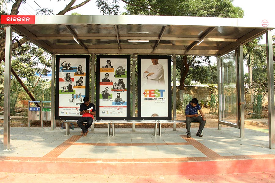
A bus stop is a place where buses stop for passengers to get on and off the bus. The construction of bus stops tends to reflect the level of usage, where stops at busy locations may have shelters, seating, and possibly electronic passenger information systems; less busy stops may use a simple pole and flag to mark the location. Bus stops are, in some locations, clustered together into transport hubs allowing interchange between routes from nearby stops and with other public transport modes to maximise convenience. Types of service For operational purposes, there are three main kinds of stops: Scheduled stops, at which the bus should stop irrespective of demand; request stops (or flag stop), at which the vehicle will stop only on request; and hail and ride stops, at which a vehicle will stop anywhere along the designated section of road on request. Certain stops may be restricted to "discharge/set-down only" or "pick-up only". Some stops may be designated as "timing poin ... [...More Info...] [...Related Items...] OR: [Wikipedia] [Google] [Baidu] |
Parking Area
A parking lot (American English) or car park (British English), also known as a car lot, is a cleared area intended for parking vehicles. The term usually refers to an area dedicated only for parking, with a durable or semi-durable surface. In most countries where cars are the dominant mode of transportation, parking lots are a feature of every city and suburban area. Shopping malls, sports stadiums, megachurches and similar venues often have immense parking lots. (See also: multistorey car park) Parking lots tend to be sources of water pollution because of their extensive impervious surfaces, and because most have limited or no facilities to control runoff. Many areas today also require minimum landscaping in parking lots to provide shade and help mitigate the extent to which their paved surfaces contribute to heat islands. Many municipalities require minimum numbers of parking spaces for buildings such as stores (by floor area) and apartment complexes (by number of bedr ... [...More Info...] [...Related Items...] OR: [Wikipedia] [Google] [Baidu] |
Rest Area
A rest area is a public facility located next to a large thoroughfare such as a motorway, expressway, or highway, at which drivers and passengers can rest, eat, or refuel without exiting onto secondary roads. Other names include motorway service area (UK), services (UK), travel plaza, rest stop, oasis (US), service area, rest and service area (RSA), resto, service plaza, lay-by, and service centre (Canada). Facilities may include park-like areas, fuel stations, public toilets, water fountains, restaurants, and dump and fill stations for caravans / motorhomes. A rest area with limited to no public facilities is a lay-by, parking area, scenic area, or scenic overlook. Along some highways and roads are services known as wayside parks, roadside parks, or picnic areas. Overview The standards and upkeep of service station facilities vary by jurisdiction. Service stations have parking areas allotted for cars, trucks, articulated trucks, buses and caravans. Most state-run ... [...More Info...] [...Related Items...] OR: [Wikipedia] [Google] [Baidu] |
Smart Interchange
A is a feature of Japanese expressways that provides exclusive access to and from the expressway for vehicles equipped with electronic toll collection (ETC). The feature increases accessibility to and from the expressway in less-populated areas while cutting construction and maintenance costs. Smart interchanges can be built by adding connector roads between local roads and pre-existing service areas, parking areas, or bus stops located along expressways or by building simpler interchanges than were previously implemented in Japan. Design The objective of a smart interchange is to increase accessibility to areas that were not served by full-scale interchanges in order to spread out the economic, logistical, and disaster recovery benefits that a high-speed road provides beyond more densely populated areas. This often is achieved by adding connector roads between local roads and service areas, parking areas, or bus stops that are located along expressways. The connector roads are t ... [...More Info...] [...Related Items...] OR: [Wikipedia] [Google] [Baidu] |
Interchange (road)
In the field of road transport, an interchange (American English) or a grade-separated junction (British English) is a road junction that uses grade separations to allow for the movement of traffic between two or more roadways or highways, using a system of interconnecting roadways to permit traffic on at least one of the routes to pass through the junction without interruption from crossing traffic streams. It differs from a standard intersection, where roads cross at grade. Interchanges are almost always used when at least one road is a controlled-access highway (freeway or motorway) or a limited-access divided highway (expressway), though they are sometimes used at junctions between surface streets. Terminology ''Note:'' The descriptions of interchanges apply to countries where vehicles drive on the right side of the road. For left-side driving, the layout of junctions is mirrored. Both North American (NA) and British (UK) terminology is included. ; Freeway juncti ... [...More Info...] [...Related Items...] OR: [Wikipedia] [Google] [Baidu] |
Nagano, Nagano
is the capital and largest city of Nagano Prefecture, located in the Nagano Basin (Zenkoji Daira) in the central Chūbu region of Japan. Nagano is categorized as a core city of Japan. Nagano City is the highest prefectural capital in Japan, with an altitude of . The city is surrounded by mountains, the highest of which is Mount Takatsuma (2,353m), and is near the confluence of the Chikuma River - the longest and widest river in Japan - and the Sai River. , the city had an estimated population of 370,632 in 160,625 households, and a population density of 444 persons per km2. The total area of the city is . Overview Nagano City, located in the former Shinano Province, developed from the Nara period (AD 710 to 794) as a temple town (''monzen machi''). The city of Nagano is home to Zenkō-ji, a 7th-century Buddhist temple that is listed as a Japanese national treasure. Zenkō-ji was established in its current location in 642 AD. The location of Zenkō-ji is approximately 2 kilometer ... [...More Info...] [...Related Items...] OR: [Wikipedia] [Google] [Baidu] |
Lake Suwa
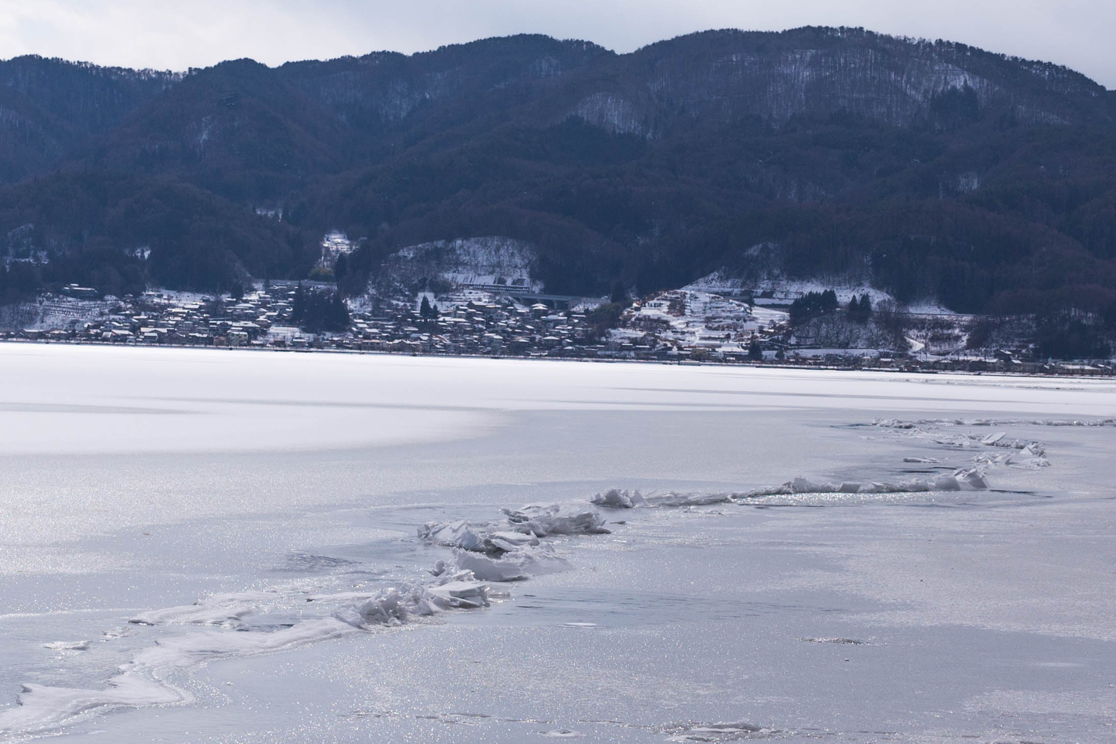
is a lake in the Kiso Mountains, in the central region of Nagano Prefecture, Japan. Geography The lake is the source of the Tenryū River. It ranks 24th in lake water surface area in Japan. The cities of Suwa and Okaya and the town of Shimosuwa are located on the shores of Lake Suwa. Omiwatari Lake Suwa is the site of a natural phenomenon known as the , large cracks that form in the winter across the surface of the frozen lake. A vertical temperature gradient results in ice pressure ridges forming in the surface ice, reaching heights of or more. Local Shinto tradition holds that the ridges are formed by the gods crossing the lake when traveling between the various buildings of the Suwa Grand Shrine. Folklore says it is the guardian god of Suwa, Takeminakata-no-kami, leaving his sanctuary to meet with his wife, the goddess , joining the opposite bank by walking on frozen water. The record of this crossing is the oldest-known human-observed climate record. This record has ... [...More Info...] [...Related Items...] OR: [Wikipedia] [Google] [Baidu] |
Azumino Interchange
is a city located in Nagano Prefecture, Japan. , the city had an estimated population of 97,761 in 39744 households. and a population density of 290 persons per km2. Its total area is . Etymology of Azumino Azumino is a combination of two words, "Azumi" and "no". "Azumi" comes from the Azumi people, who are said to have moved to the "no" (plain) in ancient times. The Azumi people originally lived in northern Kyushu, and were famed for their skills in fishing and navigation. "The Azumi people" can be translated as "the people who live on the sea." The reason why the seafaring people migrated to this mountainous region is a mystery. Geography Azumino is located in the Azumino Plateau on the northwestern end of the Matsumoto Basin, between mountain ranges to the west and east. The range of mountains on the western border is known as the Northern Alps (Hida Mountains) and is popular among hikers all over Japan. To the south is the city of Matsumoto, Nagano prefecture's second larg ... [...More Info...] [...Related Items...] OR: [Wikipedia] [Google] [Baidu] |
.png)


