|
Naftali Mountains
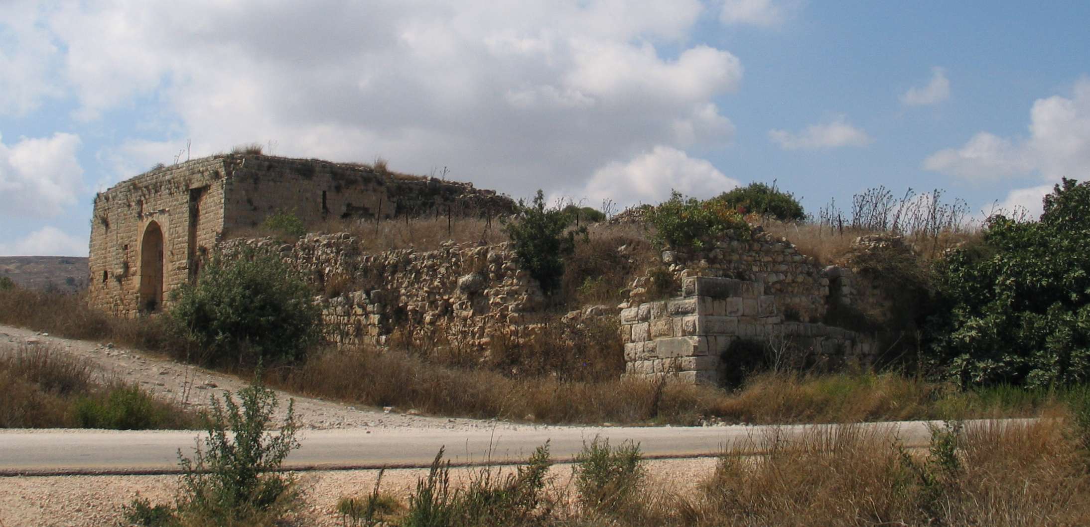
Naftali Mountains ( he, הרי נפתלי) is a mountain range between Lebanon and Upper Galilee, Israel. The western side gradually changes into the highlands of southern Lebanon. The eastern side sharply descends into the Hula Valley of Israel. They are a part of the watershed between the basins of the Mediterranean Sea and the Jordan River. The area was the place of heavy fighting in 1948 during the Israel War of Independence. M. M. Silver, ''The History of Galilee, 1538–1949. Mysticism, Modernization, and War'', 2022, p.320-322/ref> Israeli populated places in the mountains (from north to south) are: Misgav Am, Margaliot, Manara, Ramot Naftali, Malkia, Avivim Avivim ( he, אֲבִיבִים), is a moshav in the far north of Israel, in the Upper Galilee. It is located less than one kilometre (3,000 feet) from the Blue Line with Lebanon. In its population was . History Mandatory period In 1920, Salih ..., Dishon. References External linksNaftali Mountains For ... [...More Info...] [...Related Items...] OR: [Wikipedia] [Google] [Baidu] |
Misgav Am
Misgav Am ( he, מִשְׂגַּב עָם, ''lit.'' Fortress of the People) is a kibbutz in the Upper Galilee in northern Israel. Located close to the border with Lebanon, facing the Lebanese town of Odaisseh, and near the Israeli town of Kiryat Shmona, it falls under the jurisdiction of Upper Galilee Regional Council. In it had a population of . Misgav Am is 840 m (2,760 feet) above sea level and overlooks on one side the Hula Valley and on the other side the neighboring Lebanese village of Odaisseh. History The kibbutz was founded on 2 November 1945, the anniversary of the Balfour Declaration, by young Palmach members.About Misgav Am Misgav Am It was located at the northern part of the now depopulated village o ... [...More Info...] [...Related Items...] OR: [Wikipedia] [Google] [Baidu] |
Dishon
Dishon () is a moshav in northern Israel. It is located near the border with Lebanon, within the Naftali Mountains, near the Dishon Stream. It falls under the jurisdiction of Mevo'ot HaHermon Regional Council. As of it had a population of . Dishon was established in 1953 by Jewish immigrants from Libya, on land belonging to the depopulated Arab Palestinian village of Dayshum. Its name is a variation of the name of the Palestinian village. Dishon ATVs is the oldest ATV tours company in Israel, offering offroad trips by ATV and jeep in the Galilee, Hula Valley and Golan Heights The Golan Heights ( ar, هَضْبَةُ الْجَوْلَانِ, Haḍbatu l-Jawlān or ; he, רמת הגולן, ), or simply the Golan, is a region in the Levant spanning about . The region defined as the Golan Heights differs between di .... [...More Info...] [...Related Items...] OR: [Wikipedia] [Google] [Baidu] |
Avivim
Avivim ( he, אֲבִיבִים), is a moshav in the far north of Israel, in the Upper Galilee. It is located less than one kilometre (3,000 feet) from the Blue Line with Lebanon. In its population was . History Mandatory period In 1920, Saliha was designated part of Lebanon under the auspices of the Franco-British Boundary Agreement. It was one of 24 villages transferred to British control in 1924 following the 1923 demarcation of the border between the British Mandate for Palestine and the French Mandate for Syria and the Lebanon. It thus formed part of the British Mandate of Palestine. Under the 1947 United Nations Partition Plan for Palestine, Saliha was to be included in the proposed Arab state, while the boundary between it and the proposed Jewish state was to run north of the built-up area of the village. During the 1948 Arab–Israeli War, Saliha was the site of a massacre carried out by Israeli forces shortly before the village was completely depopulated. The built str ... [...More Info...] [...Related Items...] OR: [Wikipedia] [Google] [Baidu] |
Malkia
Malkia ( he, מַלְכִּיָּה) is a kibbutz in northern Israel. Located near the Lebanese border and Kiryat Shmona, it falls under the jurisdiction of Upper Galilee Regional Council. In it had a population of . History The village was established in March 1949 by six former Palmach soldiers who had been demobilised at the end of the 1948 Arab-Israeli War. Located on the sites of the depopulated Palestinian villages of Qadas and al-Malkiyya, it was named after al-Malkiyya, a holdover name from the biblical village of Malkia, itself the name of a priestly familyCarta's Official Guide to Israel and Complete Gazetteer to all Sites in the Holy Land. (3rd edition 1993) Jerusalem, Carta, p.310, (English) from biblical times (Nehemiah 10:4) that settled here, on whose lands it was established. File:Malkiya i.jpg, Malkiya shortly after its establishment File:Malkiya ii.jpg, Early view of Malkiya File:Malkiya iv.jpg, Building of first cabin at Malkiya File:Malkiya iii.jpg, Members o ... [...More Info...] [...Related Items...] OR: [Wikipedia] [Google] [Baidu] |
Ramot Naftali
Ramot Naftali ( he, רָמוֹת נַפְתָּלִי) is a moshav in northern Israel. Located in the Upper Galilee near the Lebanese border, it falls under the jurisdiction of Mevo'ot HaHermon Regional Council. In it had a population of . The community is named "Ramot Naftali" (hills of Naftali) because it is located in the Naftali Mountains, which was originally in the land owned by the Tribe of Naphtali. History The community was founded in 1945 by a group of agricultural workers called "Bnei Peled", graduates of Mikveh Israel, who were sent by national agencies to guard the land and prepare it for agriculture. After the end of World War II arrived the first group of discharged soldiers from two groups, "Wingate" and "HaMitnadev", who organized for settlement before they had joined the army. The community was built around the , which was established together with the fortresses Birya and Hukok in 1945 as part of the defense of the British army in the north, in collaborati ... [...More Info...] [...Related Items...] OR: [Wikipedia] [Google] [Baidu] |
Manara, Israel
Menara (official name, he, מְנָרָה, pronounced Menará), popularly known as Manara, is a kibbutz in northern Israel. Located on the of the Naftali Mountains, Upper Galilee, adjacent to the Lebanese border and overlooking the Hula Valley, it falls under the jurisdiction of Upper Galilee Regional Council. In it had a population of . History The village was formerly inhabited by Arabs, when it was known as Kh el Menarah. In 1881, the PEF's ''Survey of Western Palestine'' (SWP) described it as "ruins of a modern Arab village, several rock-cut cisterns, and one wine-press" 2538 dunams of land were purchased by the Jewish National Fund from an absentee landlord, ''Asa'ad Bey Khuri'' of Beirut at an unknown date.Avneri, 1984, p203/ref> The kibbutz was established in 1943 by members of the HaNoar HaOved VeHaLomed youth group, and other young immigrants from Germany and Poland. At one point the kibbutz was renamed Ramim ( he, רמים, ''lit.'' Tall ones) in an attem ... [...More Info...] [...Related Items...] OR: [Wikipedia] [Google] [Baidu] |
Margaliot
Margaliot ( he, מַרְגָּלִיּוֹת; ar, هونين) is a moshav in northern Israel. Located along the border with Lebanon in the Upper Galilee, near the town of Kiryat Shmona, it falls under the jurisdiction of Mevo'ot HaHermon Regional Council. In it had a population of , most of them Jews of Iranian Kurdish descent. Name The moshav was named after agronomist , a principal director of the Jewish Colonization Association The Jewish Colonisation Association (JCA or ICA, Yiddish ייִק"אַ), in America spelled Jewish Colonization Association, is an organisation created on September 11, 1891, by Baron Maurice de Hirsch. Its aim was to facilitate the mass emigratio ... who was appointed by Baron Edmond de Rothschild to supervise the work of Jewish colonies in Galilee in the early twentieth century. History Background A settlement existed at the site in the Iron Age I (1200-1000 BCE), and again from the Achaemenid Empire, Persian period (586-332 BCE) until the latter ... [...More Info...] [...Related Items...] OR: [Wikipedia] [Google] [Baidu] |
Ramim Ridge Panorama
Ramim may refer to * Manara, Israel Menara (official name, he, מְנָרָה, pronounced Menará), popularly known as Manara, is a kibbutz in northern Israel. Located on the of the Naftali Mountains, Upper Galilee, adjacent to the Lebanese border and overlooking the Hula Val ... * Ramim-e Shomali, Iran {{geodis ... [...More Info...] [...Related Items...] OR: [Wikipedia] [Google] [Baidu] |
Lebanon
Lebanon ( , ar, لُبْنَان, translit=lubnān, ), officially the Republic of Lebanon () or the Lebanese Republic, is a country in Western Asia. It is located between Syria to the north and east and Israel to the south, while Cyprus lies to its west across the Mediterranean Sea; its location at the crossroads of the Mediterranean Basin and the Arabian hinterland has contributed to its rich history and shaped a cultural identity of religious diversity. It is part of the Levant region of the Middle East. Lebanon is home to roughly six million people and covers an area of , making it the second smallest country in continental Asia. The official language of the state is Arabic, while French is also formally recognized; the Lebanese dialect of Arabic is used alongside Modern Standard Arabic throughout the country. The earliest evidence of civilization in Lebanon dates back over 7000 years, predating recorded history. Modern-day Lebanon was home to the Phoenicians, a m ... [...More Info...] [...Related Items...] OR: [Wikipedia] [Google] [Baidu] |
Israel War Of Independence
The 1948 Palestine war was fought in the territory of what had been, at the start of the war, British-ruled Mandatory Palestine. It is known in Israel as the War of Independence ( he, מלחמת העצמאות, ''Milkhemet Ha'Atzma'ut'') and in Arabic as a central component of the Nakba (). It is the first war of the Israeli–Palestinian conflict and the broader Arab–Israeli conflict. During the war, the British terminated the Mandate and withdrew, ending a period of rule which began in 1917, during the First World War. Beforehand, the area had been part of the Ottoman Empire. In May 1948, the State of Israel was established by the Jewish Yishuv, its creation having been declared on the last day of the Mandate. During the war, around 700,000 Palestinian Arabs were displaced.— Benny Morris, 2004''The Birth of the Palestinian Refugee Problem Revisited'' pp. 602–604. Cambridge University Press; . "It is impossible to arrive at a definite persuasive estimate. My predilec ... [...More Info...] [...Related Items...] OR: [Wikipedia] [Google] [Baidu] |
Jordan River
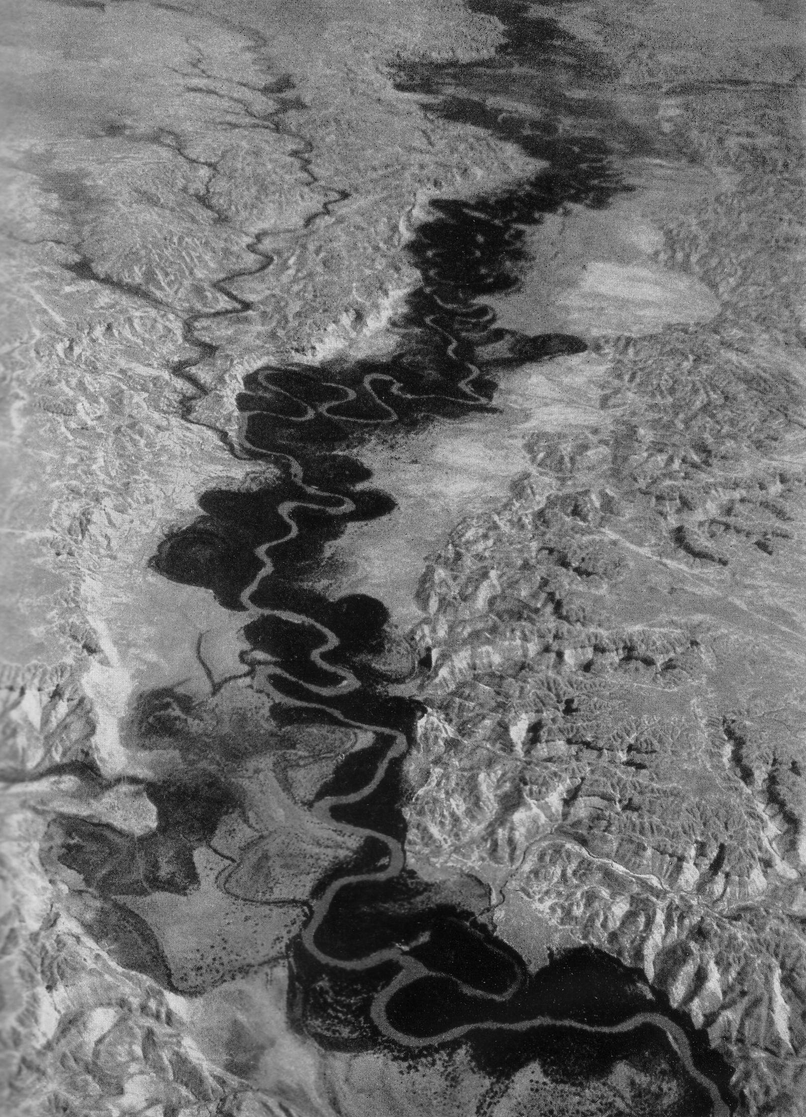
The Jordan River or River Jordan ( ar, نَهْر الْأُرْدُنّ, ''Nahr al-ʾUrdunn'', he, נְהַר הַיַּרְדֵּן, ''Nəhar hayYardēn''; syc, ܢܗܪܐ ܕܝܘܪܕܢܢ ''Nahrāʾ Yurdnan''), also known as ''Nahr Al-Sharieat'' ( ar, نهر الشريعة), is a river in the Middle East that flows roughly north to south through the Sea of Galilee (Hebrew: כנרת Kinneret, Arabic: Bohayrat Tabaraya, meaning Lake of Tiberias) and on to the Dead Sea. Jordan and the Golan Heights border the river to the east, while the West Bank and Israel lie to its west. Both Jordan and the West Bank take their names from the river. The river holds major significance in Judaism and Christianity. According to the Bible, the Israelites crossed it into the Promised Land and Jesus of Nazareth was baptized by John the Baptist in it. Geography The Jordan River has an upper course from its sources to the Sea of Galilee (via the Bethsaida Valley), and a lower course south of ... [...More Info...] [...Related Items...] OR: [Wikipedia] [Google] [Baidu] |


