|
NAVAREA
NAVAREAs are the maritime geographic areas in which various governments are responsible for navigation and weather warnings. NAVAREAs are mentioned in International Maritime Organization Assembly Resolution A.706(17) adopted 6 November 1991. The International Hydrographic Organization publication S-53 has a document entitled "Worldwide Navigational Warnings Service - Guidance Document" which is related to NAVAREAs. References External links * https://web.archive.org/web/20070927223445/http://www.amsa.gov.au/search_and_rescue/distress_and_safety_communications/pdfs/a706_17.pdf * https://web.archive.org/web/20070620232731/http://www.iho.shom.fr/COMMITTEES/CPRNW/cprnwintro.htm * https://web.archive.org/web/20100915053534/http://www.wetterinfobox.com/wib2demo/html/navarea.htm Map of NAVAREAs and schedule for Navtex NAVTEX (NAVigational TEleX), sometimes styled Navtex or NavTex, is an international automated medium frequency direct-printing service for delivery of navigational a ... [...More Info...] [...Related Items...] OR: [Wikipedia] [Google] [Baidu] |
Navtex
NAVTEX (NAVigational TEleX), sometimes styled Navtex or NavTex, is an international automated medium frequency direct-printing service for delivery of navigational and meteorological warnings and forecasts, as well as urgent maritime safety information (MSI) to ships. NAVTEX was developed to provide a low-cost, simple, and automated means of receiving this information aboard ships at sea within approximately 370 km (200 nautical miles) off-shore. There are no user fees associated with receiving NAVTEX broadcasts, as the transmissions are typically transmitted from the National Weather Authority (Italy) or Navy or Coast Guard (as in the US) or national navigation authority (Canada). Where the messages contain weather forecasts, an abbreviated format very similar to the shipping forecast is used. NAVTEX is a component of the International Maritime Organization/International Hydrographic Organization Worldwide Navigation Warning Service (WWNWS). NAVTEX is also a major elem ... [...More Info...] [...Related Items...] OR: [Wikipedia] [Google] [Baidu] |
International Maritime Organization
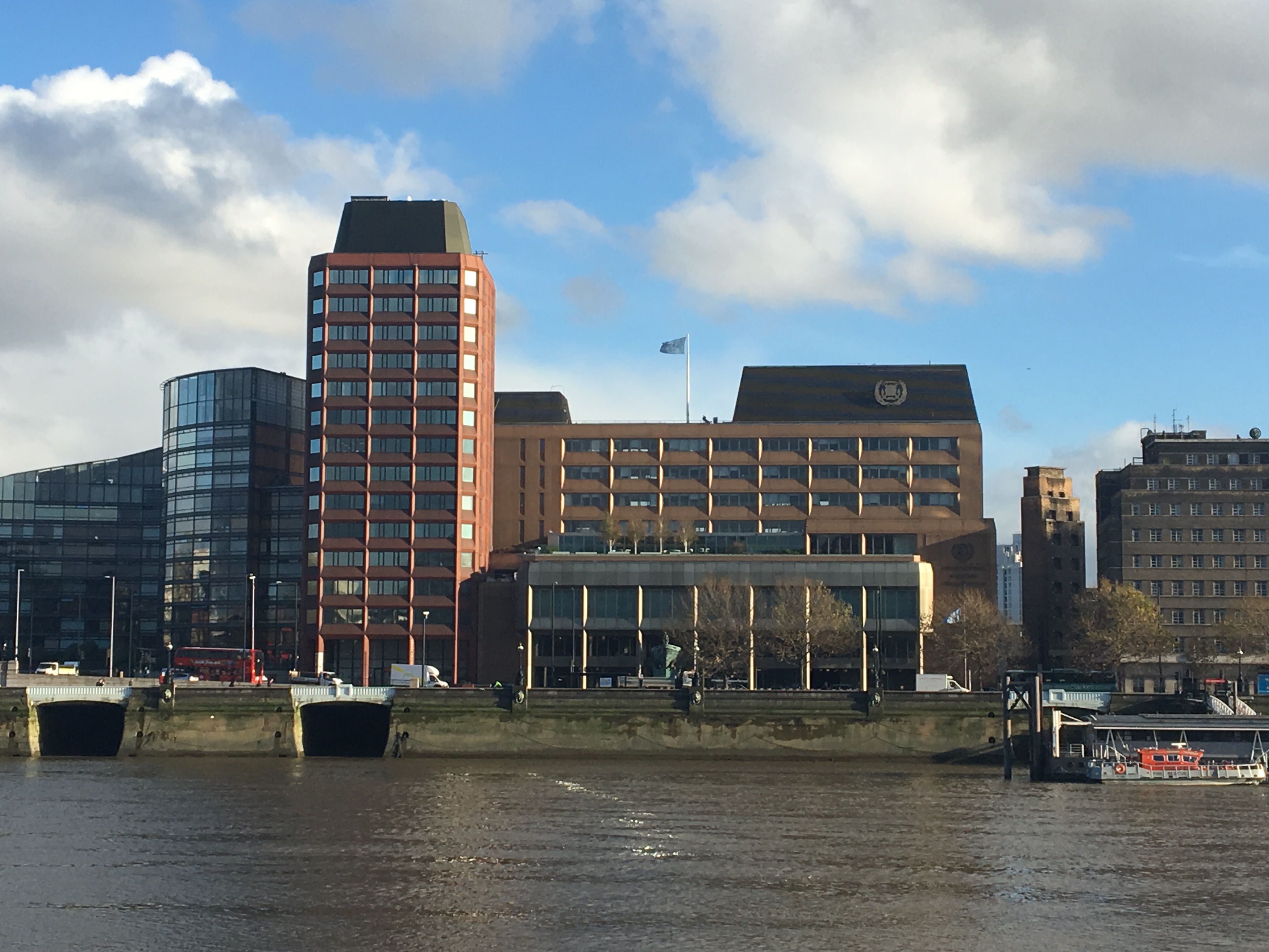
The International Maritime Organization (IMO, French: ''Organisation maritime internationale'') is a specialised agency of the United Nations responsible for regulating shipping. The IMO was established following agreement at a UN conference held in Geneva in 1948 and the IMO came into existence ten years later, meeting for the first time in 1959. Headquartered in London, United Kingdom, IMO currently has 175 Member States and three Associate Members. The IMO's primary purpose is to develop and maintain a comprehensive regulatory framework for shipping and its remit today includes maritime safety, environmental concerns, legal matters, technical co-operation, maritime security and the efficiency of shipping. IMO is governed by an assembly of members which meets every two years. Its finance and organization is administered by a council of 40 members elected from the assembly. The work of IMO is conducted through five committees and these are supported by technical subcommitte ... [...More Info...] [...Related Items...] OR: [Wikipedia] [Google] [Baidu] |
International Hydrographic Organization
The International Hydrographic Organization (IHO) is an intergovernmental organisation representing hydrography. , the IHO comprised 98 Member States. A principal aim of the IHO is to ensure that the world's seas, oceans and navigable waters are properly surveyed and charted. It does this through the setting of international standards, the co-ordination of the endeavours of the world's national hydrographic offices, and through its capacity building program. The IHO enjoys observer status at the United Nations, where it is the recognised competent authority on hydrographic surveying and nautical charting. When referring to hydrography and nautical charting in Conventions and similar Instruments, it is the IHO standards and specifications that are normally used. History The IHO was established in 1921 as the International Hydrographic Bureau (IHB). The present name was adopted in 1970, as part of a new international Convention on the IHO adopted by the then member nations. T ... [...More Info...] [...Related Items...] OR: [Wikipedia] [Google] [Baidu] |


