|
Nuruyu Bansho Site
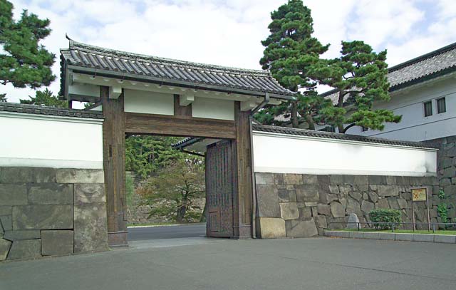
The is the location of a former barrier gate and guard post between Sendai Domain and Kubota Domain under the Tokugawa shogunate of Edo period Japan. It is located within what is now the city of Kurihara in Miyagi Prefecture. The site has been protected by the central government as a National Historic Site since 1963. Overview Under the Tokugawa shogunate, government installations were established at strategic locations along major traffic routes and on roads connecting major feudal domains where travellers were stopped for inspection, tolls were levied, and suspicious persons detained for interrogation. The Nuruyu Bansho was one such location, erected in 1608, to control a mountain pass in the Ōu Mountains. It was located about 27.4 km northwest of old Tsukiji town and 100 meters east of an onsen village on the border of Sendai Domain which served as a post station. The Historic Site consists of a gate and a single official residence building. The other structures normally ... [...More Info...] [...Related Items...] OR: [Wikipedia] [Google] [Baidu] |
Kurihara, Miyagi
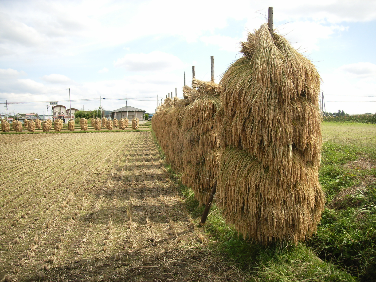
Kurihara City Hall is a city located in Miyagi Prefecture, Japan. , the city had an estimated population of 66,565, and a population density of 83 persons per km2 in 24,994 households. The total area of the city is . Parts of the city are within the borders of the Kurikoma Quasi-National Park. Geography Kurihara covers a part of the northwestern corner of Miyagi Prefecture. It is mostly rice farmland, and small mountain ridges, the largest of which cluster around Mount Kurikoma, the tallest mountain in Kurihara, which is located at the furthest northwestern point of Miyagi Prefecture. In summer, the lotus on Lake Izunuma bloom. In fall, Mount Kurikoma is covered in fall colors and in winter migrating swans and geese come in flocks to spend the season on Kurihara's lakes. Neighboring municipalities Miyagi Prefecture * Tome * Ōsaki Akita Prefecture * Yuzawa * Higashinaruse Iwate Prefecture *Ichinoseki Climate The climate of Kurihara is classified as humid subtropical (Cfa) per ... [...More Info...] [...Related Items...] OR: [Wikipedia] [Google] [Baidu] |
Ōu Mountains
The are a mountain range in the Tōhoku region of Honshū, Japan. The range is the longest range in Japan and stretches south from the Natsudomari Peninsula of Aomori Prefecture to the Nasu volcanoes at the northern boundary of the Kantō region. Though long, the range is only about wide. The highest point in the range is Mount Iwate, . The range includes several widely known mountains: Hakkōda Mountains, Mount Iwate, Mount Zaō, Mount Azuma, Mount Yakeishi, and Mount Adatara. Naming These mountains previously formed the boundary between historical provinces of Mutsu (陸奥国) and Dewa (出羽国). The ''kanji'' for the name of the mountain range was created from one ''kanji'' of the two provinces, 奥 and 羽, respectively. Geology The Ōu Mountains began to form in the Pliocene. They sit over the middle of the inner arc of the Northeastern Japan Arc. This is the result of the Pacific Plate subducting under the Okhotsk Plate The Okhotsk Plate is a minor tect ... [...More Info...] [...Related Items...] OR: [Wikipedia] [Google] [Baidu] |
History Of Miyagi Prefecture
is a Prefectures of Japan, prefecture of Japan located in the Tōhoku region of Honshu. Miyagi Prefecture has a population of 2,305,596 (1 June 2019) and has a geographic area of . Miyagi Prefecture borders Iwate Prefecture to the north, Akita Prefecture to the northwest, Yamagata Prefecture to the west, and Fukushima Prefecture to the south. Sendai is the capital and largest city of Miyagi Prefecture, and the largest city in the Tōhoku region, with other major cities including Ishinomaki, Ōsaki, Miyagi, Ōsaki, and Tome, Miyagi, Tome. Miyagi Prefecture is located on Japan's eastern Pacific coast and bounded to the west by the Ōu Mountains, the longest mountain range in Japan, with 24% of its total land area being designated as List of national parks of Japan, Natural Parks. Miyagi Prefecture is home to Matsushima, Matsushima Islands, a group of islands ranked as one of the Three Views of Japan, near the town of Matsushima, Miyagi, Matsushima. On 7 April, 2011 the biggest ea ... [...More Info...] [...Related Items...] OR: [Wikipedia] [Google] [Baidu] |
List Of Historic Sites Of Japan (Miyagi)
This list is of the Historic Sites of Japan located within the Prefecture of Miyagi. National Historic Sites As of 1 December 2020, thirty-seven Sites have been designated as being of national significance (including one *Special Historic Site); the Dewa Sendai Kaidō Nakayamagoe Pass spans the prefectural borders with Yamagata. , align="center", Akai Kanga Ruins''Akai kanga iseki-gun'' , , Higashimatsushima , , designation includes the , , , , , , 2 , , - Prefectural Historic Sites As of 20 May 2020, fifteen Sites have been designated as being of prefectural importance. Municipal Historic Sites As of 1 May 2020, a further two hundred and fifty Sites have been designated as being of municipal importance. See also * Cultural Properties of Japan * Tōhoku History Museum * List of Places of Scenic Beauty of Japan (Miyagi) * List of Cultural Properties of Japan - paintings (Miyagi) This list is of paintings designat ... [...More Info...] [...Related Items...] OR: [Wikipedia] [Google] [Baidu] |
Ansei
was a after ''Kaei'' and before ''Man'en''. This period spanned the years from November 1854 through March 1860. The reigning emperor was . Change of era * November 27, 1854 (): The new era name of ''Ansei'' (meaning "tranquil government") was created to herald the beginning of a peaceful period. The impetus and explanation for this change of era names was said to have been the burning of the Palace in Kyoto in the preceding summer.Satow, Ernest Mason. (1905) ''Japan 1853–1864, Or, Genji Yume Monogatari'', p. 11./ref> The new era name was derived from an hortatory aphorism: "Rule peacefully over the masses, then the ruler will remain in his place" (庶民安政、然後君子安位矣). Although the notion seems appealing, the arrival of the Black Ships and Commodore Matthew C. Perry is not specifically recognized as a factor in the change of era names. Events of the ''Ansei'' era * 1854 (''Ansei 1''): The Ansei-Tōkai Quake (安政東海地震, ''Ansei Tōkai Jish ... [...More Info...] [...Related Items...] OR: [Wikipedia] [Google] [Baidu] |
Mon (emblem)
, also , , and , are Japanese emblems used to decorate and identify an individual, a family, or (more recently) an institution or business entity. While is an encompassing term that may refer to any such device, and refer specifically to emblems used to identify a family. An authoritative reference compiles Japan's 241 general categories of based on structural resemblance (a single may belong to multiple categories), with 5,116 distinct individual . However, it is well-acknowledged that there exist a number of lost or obscure . The devices are similar to the badges and coats of arms in European heraldic tradition, which likewise are used to identify individuals and families. are often referred to as crests in Western literature, the crest being a European heraldic device similar to the in function. History may have originated as fabric patterns to be used on clothes in order to distinguish individuals or signify membership of a specific clan or organization. By the 1 ... [...More Info...] [...Related Items...] OR: [Wikipedia] [Google] [Baidu] |
Date Clan
The is a Japanese samurai kin group. Papinot, Jacques Edmond Joseph. (1906). ''Dictionnaire d’histoire et de géographie du Japon''; Papinot, (2003)"Date", ''Nobiliare du Japon'', p. 5 retrieved 2013-5-5. History The Date family was founded in the early Kamakura period (1185–1333) by Isa Tomomune who originally came from the Isa district of Hitachi Province (now Ibaraki Prefecture), and was a descendant of Fujiwara no Uona (721–783) in the sixteenth generation. The family took its name from the Date district (now Date City in Fukushima Prefecture) of Mutsu Province which had been awarded in 1189 to Isa Tomomune by Minamoto no Yoritomo, the first Kamakura shōgun, for his assistance in the Genpei War and in Minamoto no Yoritomo's struggle for power with his brother, Minamoto no Yoshitsune. During the Nanboku-chō Wars in the 1330s, the Date supported the Imperial Southern Court of Emperor Go-Daigo through Kitabatake Akiie, who had been appointed Commander in Chief ( ... [...More Info...] [...Related Items...] OR: [Wikipedia] [Google] [Baidu] |
Zelkova Serrata
''Zelkova serrata'' (Japanese zelkova, Japanese elm or keyaki or keaki; ja, 欅 (ケヤキ) keyaki /槻 (ツキ) tsuki; ; ko, 느티나무 neutinamu) is a species of the genus ''Zelkova'' native plant, native to Japan, Korea, eastern China and Taiwan.Flora of China''Zelkova serrata''/ref>Andrews, S. (1994). Tree of the year: Zelkova. ''Int. Dendrol. Soc. Yearbook'' 1993: 11-30. It is often grown as an ornamental tree, and used in bonsai. There are two variety (biology), varieties, ''Zelkova serrata'' var. ''serrata'' in Japan and mainland eastern Asia, and ''Zelkova serrata'' var. ''tarokoensis'' (Hayata) Li on Taiwan which differs from the type in its smaller leaves with less deeply cut serration on the margins. Description ''Zelkova serrata'' is a medium-sized deciduous tree usually growing to tall. It is characterized by a short trunk dividing into many upright and erect spreading stems forming a broad, round-topped head. The tree grows rapidly when young though the growth ... [...More Info...] [...Related Items...] OR: [Wikipedia] [Google] [Baidu] |
Shukuba
were post stations during the Edo period in Japan, generally located on one of the Edo Five Routes or one of its sub-routes. They were also called ''shuku-eki'' (宿駅). These post stations (or "post towns") were places where travelers could rest on their journey around the nation. They were created based on policies for the transportation of goods by horseback that were developed during the Nara and Heian periods. History These post stations were first established by Tokugawa Ieyasu shortly after the end of the Battle of Sekigahara. The first post stations were developed along the Tōkaidō (followed by stations on the Nakasendō and other routes). In 1601, the first of the Tōkaidō's fifty-three stations were developed, stretching from Shinagawa-juku in Edo to Ōtsu-juku in Ōmi Province. Not all the post stations were built at the same time, however, as the last one was built in 1624. The lodgings in the post stations were established for use by public officials and, ... [...More Info...] [...Related Items...] OR: [Wikipedia] [Google] [Baidu] |
Onsen
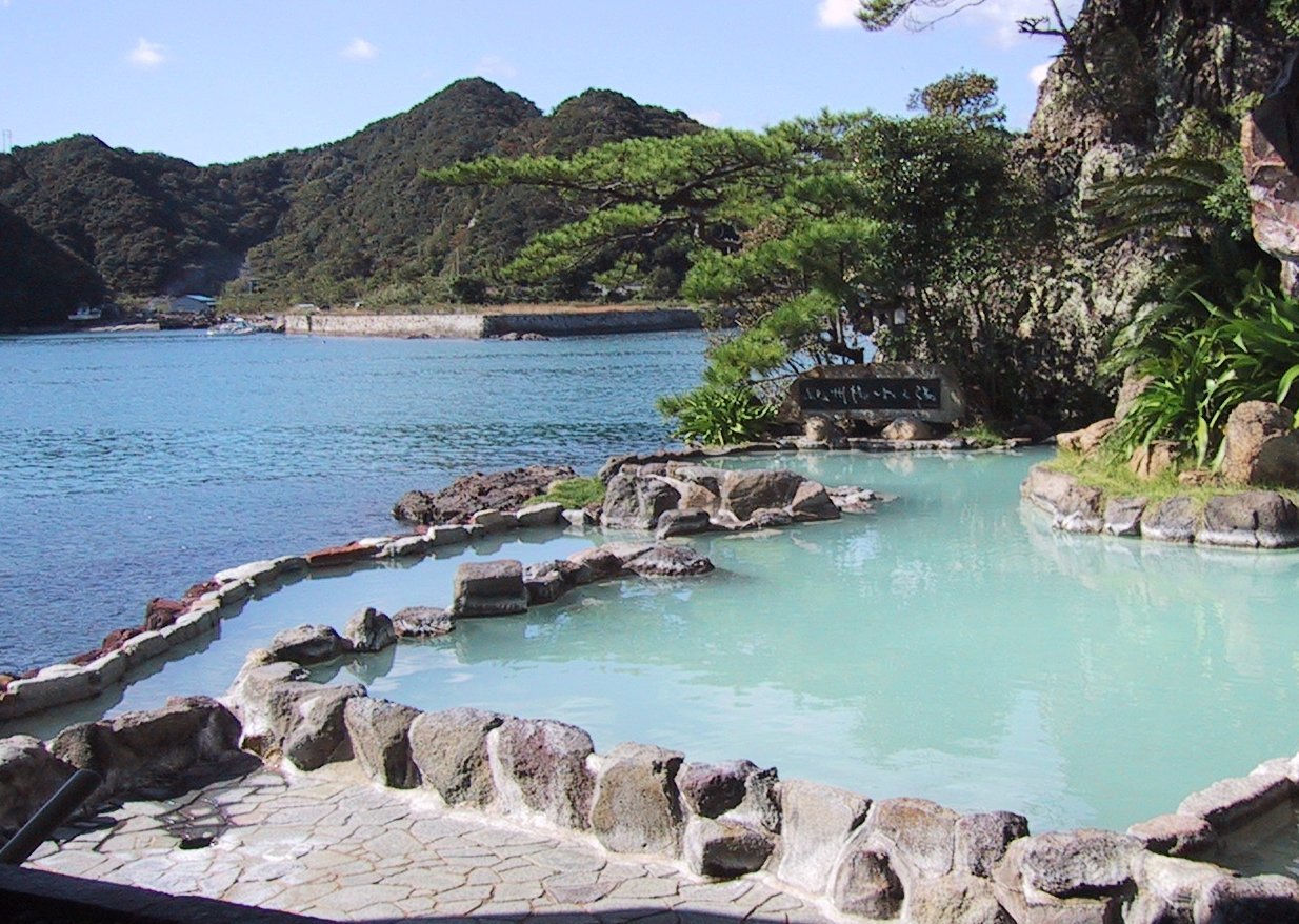
In Japan, are the country's hot springs and the bathing facilities and traditional inns around them. As a volcanically active country, Japan has many onsens scattered throughout all of its major islands. There are approximately 25,000 hot spring sources throughout Japan that provide hot mineral water to about 3,000 genuine onsen establishments. Onsens come in many types and shapes, including and . Baths may be either publicly run by a municipality or privately, often as part of a hotel, ''ryokan'', or . The presence of an onsen is often indicated on signs and maps by the symbol ♨ or the kanji (''yu'', meaning "hot water"). Sometimes the simpler hiragana character ゆ (''yu''), understandable to younger children, is used. Traditionally, onsens were located outdoors, although many inns have now built indoor bathing facilities as well. Nowadays, as most households have their own bath, the number of traditional public baths has decreased, but the number of sightseeing ho ... [...More Info...] [...Related Items...] OR: [Wikipedia] [Google] [Baidu] |
Han System
( ja, 藩, "domain") is a Japanese historical term for the estate of a daimyo in the Edo period (1603–1868) and early Meiji period (1868–1912). Nussbaum, Louis-Frédéric. (2005)"Han"in ''Japan Encyclopedia'', p. 283. or (daimyo domain) served as a system of ''de facto'' administrative divisions of Japan alongside the ''de jure'' provinces until they were abolished in the 1870s. History Pre-Edo period The concept of originated as the personal estates of prominent warriors after the rise of the Kamakura Shogunate in 1185, which also saw the rise of feudalism and the samurai noble warrior class in Japan. This situation existed for 400 years during the Kamakura Shogunate (1185–1333), the brief Kenmu Restoration (1333–1336), and the Ashikaga Shogunate (1336–1573). became increasingly important as ''de facto'' administrative divisions as subsequent Shoguns stripped the Imperial provinces () and their officials of their legal powers. Edo period Toyotomi Hideyoshi, the ... [...More Info...] [...Related Items...] OR: [Wikipedia] [Google] [Baidu] |


