|
Numazu-juku
was the twelfth of the fifty-three stations of the Tōkaidō. It is located in the present-day city of Numazu, Shizuoka Prefecture, Japan. History Numazu was the easternmost post station within Suruga Province, and was the castle town of the ''daimyō'' of Numazu Domain. During its peak in the Edo period, Numazu-juku had over 1,200 buildings, including three ''honjin'', one sub-''honjin'', and 55 ''hatago''. Modern Numazu city has a local history museum displaying the history of the area.Numazu-shi Cultural Property . City of Numazu. Accessed November 7, 2007. The classic '''' print by |
Hara-juku (Tōkaidō)
was the thirteenth of the fifty-three stations of the Tōkaidō. It is located in the present-day city of Numazu, Shizuoka Prefecture, Japan. History Hara-juku was a smaller post town on the coast of Suruga Bay between Numazu-juku and Yoshiwara-juku in Suruga Province. It is the site of many paintings because of Mount Fuji in the background.Hara-juku to Yoshiwara-juku Accessed November 7, 2007. The classic print by (''Hōeidō'' edition) from 1831–1834 depicts two women travelers walking past a huge snowy Mount Fuji. The women are accompanied by a manservant ... [...More Info...] [...Related Items...] OR: [Wikipedia] [Google] [Baidu] |
Mishima-shuku
was the eleventh of the fifty-three stations of the Tōkaidō during Edo period Japan. It is located in the present-day city of Mishima, in Shizuoka Prefecture. History In Mishima-juku, there were two ''honjin'' and 74 other minor inns for travelers. Mishima was the only post station located within Izu Province. Mishima was the traditional provincial capital of Izu from the Nara period and the location of a major Shinto shrine. Until 1759, Mishima was the location of the '' daikanshō'', the seat of government for the ''hatamoto''-class retainer appointed by the Tokugawa shogunate to rule over Izu Province. Additionally, because water flows from Mount Fuji to the town, it was referred to as the "Capital of Water."Mishima-juku to Numazu-juku Tōkaidō Hitoritabi. Accessed December 10, 2007. The classic |
Numazu, Shizuoka
is a city located in eastern Shizuoka Prefecture, Japan. , the city had an estimated population of 189,486 in 91,986 households, and a population density of 1,014 persons per km2. The total area of the city is . Geography Numazu is at the northwestern end of the Izu Peninsula, which is a leisure destination known for its numerous hot springs. Mount Fuji, Japan's tallest mountain, may also be seen from Numazu on clear days. Numazu is located west of Tokyo and is on the Tōkaidō Main Line, the main railway line from Osaka to Tokyo. Warmed by the Kuroshio Current, the area enjoys a warm maritime climate with hot, humid summers and mild, cool winters. The Kano River runs through the middle of the city. Mount Ashitaka (1188 meters) is the highest point in the city Neighboring municipalities Shizuoka Prefecture *Mishima *Fuji *Izu *Izunokuni * Shimizu *Nagaizumi *Kannami Demographics Per Japanese census data, the population of Numazu has been in slow decline over the past 30 yea ... [...More Info...] [...Related Items...] OR: [Wikipedia] [Google] [Baidu] |
53 Stations Of The Tōkaidō
The are the rest areas along the Tōkaidō, which was a coastal route that ran from Nihonbashi in Edo (modern-day Tokyo) to Sanjō Ōhashi in Kyoto.. There were originally 53 government post stations along the Tōkaidō, where travelers had to present traveling permits at each station if wanting to cross. In 1619, the Ōsaka Kaidō (大阪街道) was developed to extend the Tōkaidō so that it would reach Kōraibashi in modern-day Osaka. Instead of going to Sanjō Ōhashi, travelers would leave from Ōtsu-juku and travel towards Fushimi-juku. Because of the addition of these four post towns, the Tōkaidō is occasionally referred to as having 57 stations. Another name for this extension was Kyōkaidō (京街道). The inland Nakasendō also started at Nihonbashi, and converged with the Tōkaidō at Kusatsu-juku. Shio no Michi intersected with the Tōkaidō at Okazaki-shuku. Stations of the Tōkaidō See also * Edo Five Routes ** 69 Stations of the Nakase ... [...More Info...] [...Related Items...] OR: [Wikipedia] [Google] [Baidu] |
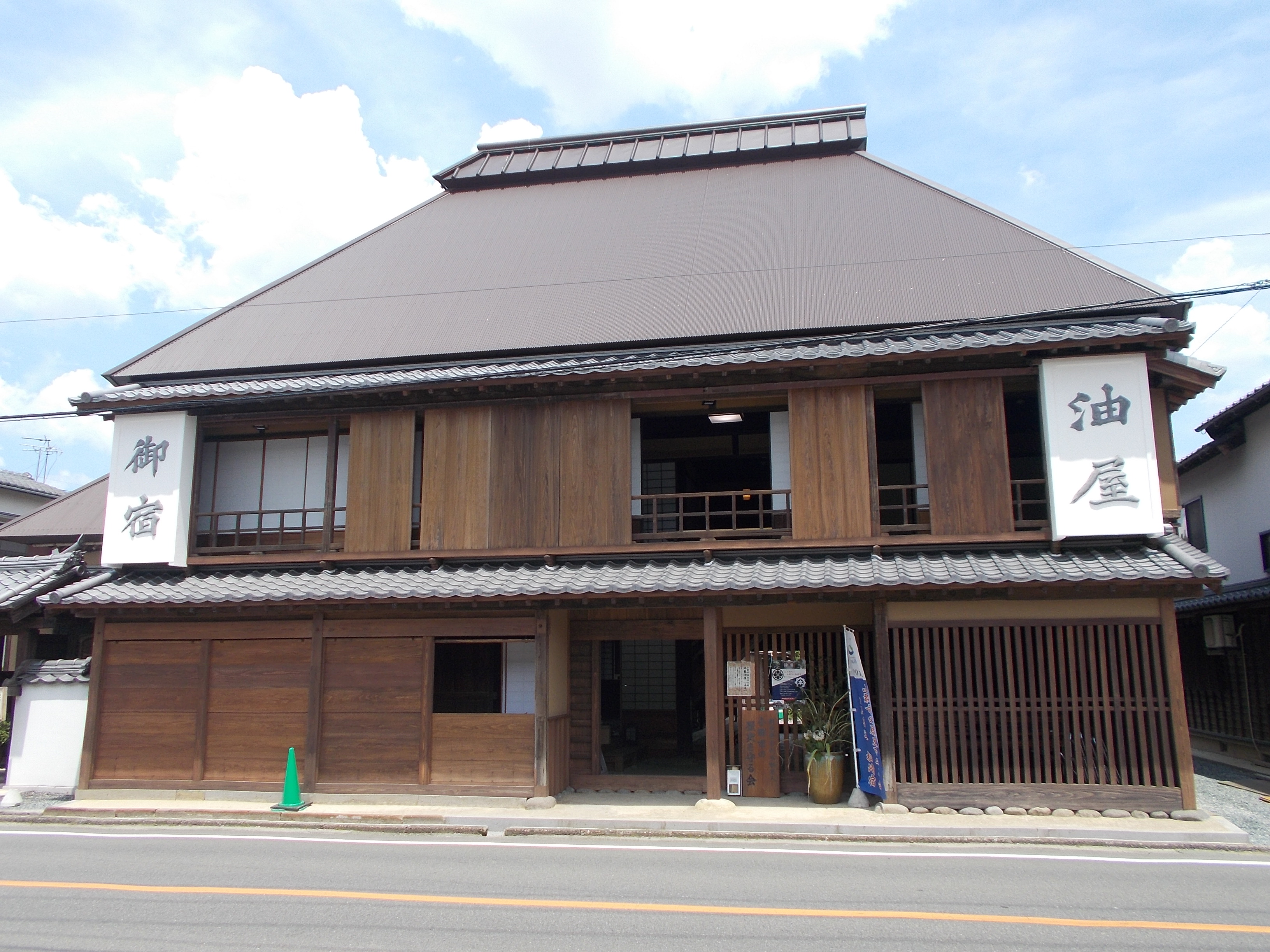
Hatago
were Edo period lodgings for travelers at '' shukuba'' (post stations) along the national highways, including the Edo Five Routes The , sometimes translated as "Five Highways", were the five centrally administered routes, or ''kaidō'', that connected the ''de facto'' capital of Japan at Edo (now Tokyo) with the outer provinces during the Edo period (1603–1868). The most ... and the subroutes. In addition to a place to rest, ''hatago'' also offered meals and other foods to the travelers. They were also called . Name origin ''Hatago'' means "traveling basket." The word itself originally derived from baskets that contained food for horses and were carried by travelers. From there, it became a tool with which travelers were carry their own food and goods. Shops that began preparing and selling food for travelers gained the suffix , meaning "shop," but this was eventually shortened to just ''hatago''. Preserved ''hatago'' Because many post stations along the Tōkaidō, Nakas ... [...More Info...] [...Related Items...] OR: [Wikipedia] [Google] [Baidu] |
Shikoku
is the smallest of the four main islands of Japan. It is long and between wide. It has a population of 3.8 million (, 3.1%). It is south of Honshu and northeast of Kyushu. Shikoku's ancient names include ''Iyo-no-futana-shima'' (), ''Iyo-shima'' (), and ''Futana-shima'' (), and its current name refers to the four former provinces that made up the island: Awa, Tosa, Sanuki, and Iyo. Geography Shikoku Island, comprising Shikoku and its surrounding islets, covers about and consists of four prefectures: Ehime, Kagawa, Kōchi, and Tokushima. Across the Seto Inland Sea lie Wakayama, Osaka, Hyōgo, Okayama, Hiroshima, and Yamaguchi Prefectures on Honshu. To the west lie Ōita and Miyazaki Prefectures on Kyushu. Shikoku is ranked as the 50th largest island by area in the world. Additionally, it is ranked as the 23rd most populated island in the world, with a population density of 193 inhabitants per square kilometre (500/sq mi). Mountains running east and west d ... [...More Info...] [...Related Items...] OR: [Wikipedia] [Google] [Baidu] |
Kotohira Shrine
is a List of towns in Japan, town located in Nakatado District, Kagawa, Nakatado District, Kagawa Prefecture, Japan. , the town had an estimated population of 8,105 in 3618 households and a population density of 960 persons per km². The total area of the town is . The town is best known as the site of Shikoku's largest shrine complex, the Kotohira Shrine (popularly known as ''Konpira-san''). Geography Kotohira is located in southwestern Kagawa Prefecture. The west side of the town area runs along the foot of Mt.Kotohira Neighbouring municipalities Kagawa Prefecture *Zentsūji, Kagawa, Zentsūji *Mitoyo, Kagawa, Mitoyo *Mannō, Kagawa, Mannō Climate Kotohira has a Humid subtropical climate (Köppen ''Cfa'') characterized by warm summers and cool winters with light snowfall. The average annual temperature in Kotohira is 15.1 °C. The average annual rainfall is 1439 mm with September as the wettest month. The temperatures are highest on average in January, at aro ... [...More Info...] [...Related Items...] OR: [Wikipedia] [Google] [Baidu] |
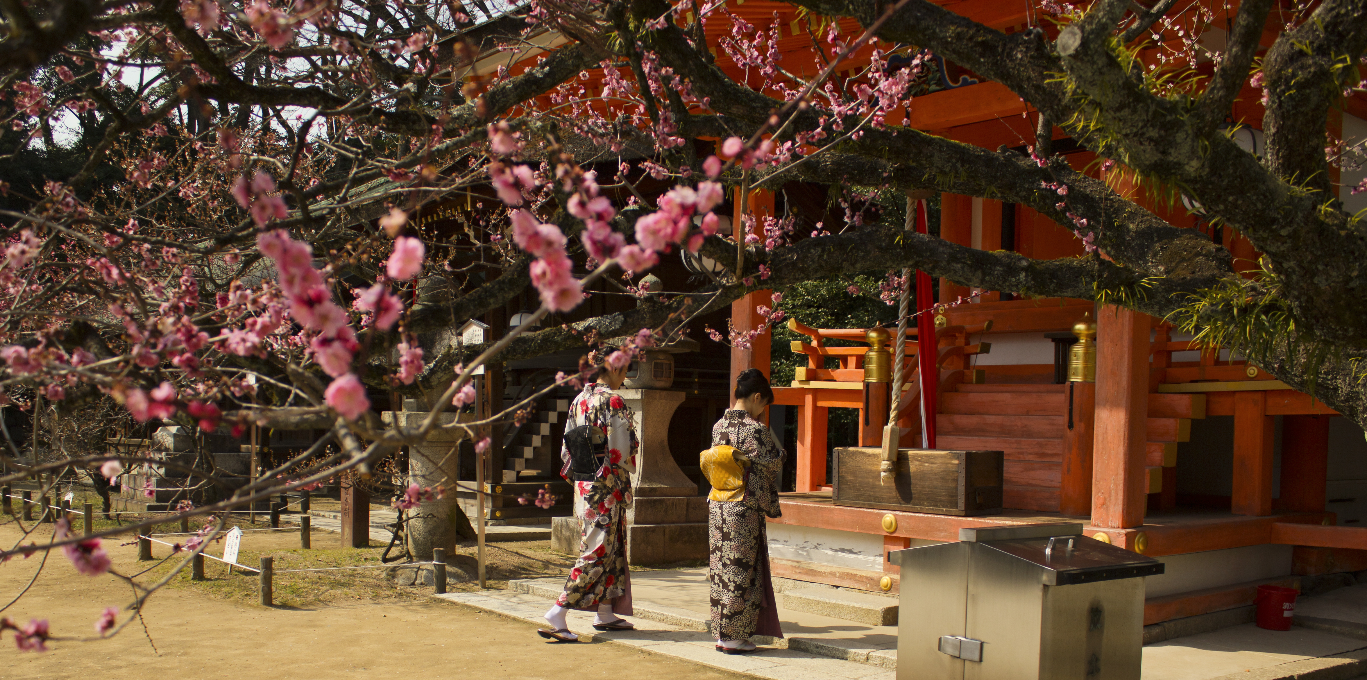
Shinto Shrine
A is a structure whose main purpose is to house ("enshrine") one or more ''kami'', the deities of the Shinto religion. Overview Structurally, a Shinto shrine typically comprises several buildings. The '' honden''Also called (本殿, meaning: "main hall") is where a shrine's patron ''kami'' is/are enshrined.Iwanami Japanese dictionary The ''honden'' may be absent in cases where a shrine stands on or near a sacred mountain, tree, or other object which can be worshipped directly or in cases where a shrine possesses either an altar-like structure, called a ''himorogi,'' or an object believed to be capable of attracting spirits, called a ''yorishiro,'' which can also serve as direct bonds to a ''kami''. There may be a and other structures as well. Although only one word ("shrine") is used in English, in Japanese, Shinto shrines may carry any one of many different, non-equivalent names like ''gongen'', ''-gū'', ''jinja'', ''jingū'', ''mori'', ''myōjin'', ''-sha'', ''taisha ... [...More Info...] [...Related Items...] OR: [Wikipedia] [Google] [Baidu] |
Tengu
are a type of legendary creature found in Japanese folk religion (Shinto). They are considered a type of ''yōkai'' (supernatural beings) or Shinto ''kami'' (gods). The ''Tengu'' were originally thought to take the forms of birds of prey and a monkey deity, and they are traditionally depicted with human, monkey, and avian characteristics. Sarutahiko Ōkami is considered to be the original model of Konoha-Tengu (a supernatural creature with a red face and long nose), which today is widely considered the ''Tengu''s defining characteristic in the popular imagination. He is the Shinto monkey deity who is said to shed light on heaven and earth. Some experts theorize that Sarutahiko was a sun god worshiped in the Ise region prior to the popularization of Amaterasu. Buddhism long held that the ''Tengu'' were disruptive demons and harbingers of war. Their image gradually softened, however, into one of protective and even manifestations of Buddhist deities, if still dangerous, spirits ... [...More Info...] [...Related Items...] OR: [Wikipedia] [Google] [Baidu] |
Andō Hiroshige
Utagawa Hiroshige (, also ; ja, 歌川 広重 ), born Andō Tokutarō (; 1797 – 12 October 1858), was a Japanese ''ukiyo-e'' artist, considered the last great master of that tradition. Hiroshige is best known for his horizontal-format landscape series ''The Fifty-three Stations of the Tōkaidō'' and for his vertical-format landscape series ''One Hundred Famous Views of Edo''. The subjects of his work were atypical of the ''ukiyo-e'' genre, whose typical focus was on beautiful women, popular actors, and other scenes of the urban pleasure districts of Japan's Edo period (1603–1868). The popular series '' Thirty-six Views of Mount Fuji'' by Hokusai was a strong influence on Hiroshige's choice of subject, though Hiroshige's approach was more poetic and ambient than Hokusai's bolder, more formal prints. Subtle use of color was essential in Hiroshige's prints, often printed with multiple impressions in the same area and with extensive use of '' bokashi'' (color gradation), ... [...More Info...] [...Related Items...] OR: [Wikipedia] [Google] [Baidu] |
Ukiyo-e
Ukiyo-e is a genre of Japanese art which flourished from the 17th through 19th centuries. Its artists produced woodblock prints and paintings Painting is the practice of applying paint, pigment, color or other medium to a solid surface (called the "matrix" or "support"). The medium is commonly applied to the base with a brush, but other implements, such as knives, sponges, and ai ... of such subjects as female beauties; kabuki actors and sumo wrestlers; scenes from history and folk tales; travel scenes and landscapes; Flora of Japan, flora and Wildlife of Japan#Fauna, fauna; and Shunga, erotica. The term translates as "picture[s] of the floating world". In 1603, the city of Edo (Tokyo) became the seat of the ruling Tokugawa shogunate. The ''chōnin'' class (merchants, craftsmen and workers), positioned at the bottom of Four occupations, the social order, benefited the most from the city's rapid economic growth, and began to indulge in and patronise the entertainment o ... [...More Info...] [...Related Items...] OR: [Wikipedia] [Google] [Baidu] |


_Awa_Naruto_no_fuukei.jpg)
