|
Mount Moosilauke
Mount Moosilauke is a mountain at the southwestern end of the White Mountains in the town of Benton, New Hampshire, United States. It is the tenth highest and most southwesterly of the 4,000 foot summits in the White Mountains. Moosilauke is ranked 9th on the New England Fifty Finest peaks, a list of summits with the highest topographic prominence. The Appalachian Trail passes over the mountain. It is sometimes referred to as the "Gentle Giant". The site of down mountain ski races since 1927, the 1933 Moosilauke race was the first U.S. downhill skiing championship sanctioned by the National Ski Association. Etymology The name ''Moosilauke'' (with its many variant spellings) is derived from the Abenaki language. The most common translation is "bald place". However, the derivation of place names from Algonquian languages is often quite uncertain, and other possible translations of Moosilauke include "at the place of ferns", "at the smooth place on the summit" and "good moo ... [...More Info...] [...Related Items...] OR: [Wikipedia] [Google] [Baidu] |
Four-thousand Footers
Four-thousand footers (sometimes abbreviated 4ks) are a group of forty-eight mountains in New Hampshire at least above sea level. To qualify for inclusion a peak must also meet the more technical criterion of topographic prominence important in the mountaineering sport of peak-bagging. The White Mountains Four Thousand Footers List is established (and revised from time to time) by the Appalachian Mountain Club. The AMC calls it the White Mountains List, but others call it the New Hampshire List because it does not include Old Speck Mountain (4,170 ft) in Maine, which is outside the White Mountain National Forest but within the White Mountains. The AMC also maintains a list of New England 4000 Footers, all falling within Vermont, New Hampshire, and Maine. Other lists of 4000-footers not maintained by the AMC include the original set of 4,000-foot mountains for peak-bagging: the 46 High Peaks in the Adirondacks. The AMC has revised its 4000-footer lists as surveying bec ... [...More Info...] [...Related Items...] OR: [Wikipedia] [Google] [Baidu] |
Schist
Schist ( ) is a medium-grained metamorphic rock showing pronounced schistosity. This means that the rock is composed of mineral grains easily seen with a low-power hand lens, oriented in such a way that the rock is easily split into thin flakes or plates. This texture (geology), texture reflects a high content of platy minerals, such as micas, talc, chlorite group, chlorite, or graphite. These are often interleaved with more granular minerals, such as feldspar or quartz. Schist typically forms during regional metamorphism accompanying the process of mountain building (orogeny) and usually reflects a medium Metamorphism#Metamorphic grades, grade of metamorphism. Schist can form from many different kinds of rocks, including sedimentary rocks such as mudstones and igneous rocks such as tuffs. Schist metamorphosed from mudstone is particularly common and is often very rich in mica (a ''mica schist''). Where the type of the original rock (the protolith) is discernible, the schist is us ... [...More Info...] [...Related Items...] OR: [Wikipedia] [Google] [Baidu] |
Lake Winnipesaukee
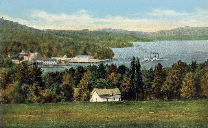
Lake Winnipesaukee () is the largest lake in the U.S. state of New Hampshire, located in the Lakes Region at the foothills of the White Mountains. It is approximately long (northwest-southeast) and from wide (northeast-southwest), covering — when Paugus Bay is included—with a maximum depth of . The center area of the lake is called The Broads. The lake contains at least 264 islands, half of which are less than in size, and is indented by several peninsulas, yielding a total shoreline of approximately . The driving distance around the lake is . It is above sea level. Winnipesaukee is the third-largest lake in New England after Lake Champlain and Moosehead Lake. Outflow is regulated by the Lakeport Dam in Lakeport, New Hampshire, on the Winnipesaukee River. History The Abenaki name ''Winnipesaukee'' (often spelled Winnipiseogee in earlier centuries) means either "smile of the Great Spirit" or "beautiful water in a high place". At the outlet of the lake, th ... [...More Info...] [...Related Items...] OR: [Wikipedia] [Google] [Baidu] |
Franconia Ridge
The Franconia Range is a mountain range located in the White Mountains of the U.S. state of New Hampshire. It is the second-highest range of peaks (after the Presidential Range) in the White Mountains. Franconia Ridge is a prominent ridge which forms the backbone of the range, stringing together all of its major summits. Summits From north to south, the highest summits of the range include: * Mount Lafayette * * Mount Truman * Mount Lincoln * * Little Haystack Mountain * Mount Liberty * * Mount Flume * The summits marked with an asterisk (*) are included on the Appalachian Mountain Club's peak-bagging list of "Four-thousand footers" in New Hampshire. Features The Franconia Range hosts the third largest connected area of alpine tundra in the United States east of the Rocky Mountains, only surpassed by the Presidential Range and the Katahdin massif. Approximately along the crest of the ridge is in the alpine zone. This area runs from the treeline just belo ... [...More Info...] [...Related Items...] OR: [Wikipedia] [Google] [Baidu] |
Presidential Range
The Presidential Range is a mountain range located in the White Mountains of the U.S. state of New Hampshire. Containing the highest peaks of the Whites, its most notable summits are named for American presidents, followed by prominent public figures of the 18th and 19th centuries. The Presidential Range is notorious for having some of the worst weather on Earth, mainly because of the unpredictability of high wind speeds and whiteout conditions on the higher summits. Because of the poor weather conditions, the Presidential Range is often used for mountaineering training for those who go on to climb some of the world's highest mountains, including K2 and Everest. Mount Washington, long home of the highest winds recorded on the surface of the Earth at , is the tallest at , followed by neighboring peaks Mount Adams at and Mount Jefferson at . The range is almost entirely in Coos County. Notable summits The highest mountains in the Presidential Range are named principally fo ... [...More Info...] [...Related Items...] OR: [Wikipedia] [Google] [Baidu] |
Kinsman Range
The Kinsman Range, also known as the Cannon–Kinsman Range,Steven D. Smith and Mike Dickerman, eds. ''White Mountain Guide'', 29th ed. Appalachian Mountain Club, 2012, p.255 is a north–south range in the White Mountains of New Hampshire in the United States. Its highest point is Kinsman Mountain, followed by the North Peak of Kinsman, and Cannon Mountain, one of the richest in rock climbing routes in the Whites. All are official "Four-thousand footers". Mount Wolf is on the crest of the range south of Kinsman Mountain. Rounding out the range are Bald Peak on the west side of Kinsman Mountain and Mount Pemigewasset on the east side, overlooking Franconia Notch. To the northeast, the range is connected by The Cannon Balls ridge to Cannon Mountain. The southwest end of the range is at Kinsman Notch, a mountain pass and westernmost of the White Mountains' four major notches. The Kinsman Ridge Trail traverses the entire range from Kinsman Notch to the north base of Cannon ... [...More Info...] [...Related Items...] OR: [Wikipedia] [Google] [Baidu] |
Igneous Rock
Igneous rock (derived from the Latin word ''ignis'' meaning fire), or magmatic rock, is one of the three main The three types of rocks, rock types, the others being Sedimentary rock, sedimentary and metamorphic rock, metamorphic. Igneous rock is formed through the cooling and solidification of magma or lava. The magma can be derived from Partial melting, partial melts of existing rocks in either a Terrestrial planet, planet's mantle (geology), mantle or crust (geology), crust. Typically, the melting is caused by one or more of three processes: an increase in temperature, a decrease in pressure, or a change in composition. Solidification into rock occurs either below the surface as intrusive rocks or on the surface as extrusive (geology), extrusive rocks. Igneous rock may form with crystallization to form granular, crystalline rocks, or without crystallization to form Volcanic glass, natural glasses. Igneous rocks occur in a wide range of geological settings: shields, platforms ... [...More Info...] [...Related Items...] OR: [Wikipedia] [Google] [Baidu] |
Quartz Monzonite
Quartz monzonite is an intrusive, felsic, igneous rock that has an approximately equal proportion of orthoclase and plagioclase feldspars. It is typically a light colored phaneritic (coarse-grained) to porphyritic granitic rock. The plagioclase is typically intermediate to sodic in composition, andesine to oligoclase. Quartz is present in significant amounts. Biotite and/or hornblende constitute the dark minerals. Because of its coloring, it is often confused with granite, but whereas granite contains more than 20% quartz, quartz monzonite is only 5–20% quartz. Rock with less than five percent quartz is classified as monzonite. A rock with more alkali feldspar is a syenite whereas one with more plagioclase is a quartz diorite.Classification of Igneous Rocks The fine grained |
Pegmatite
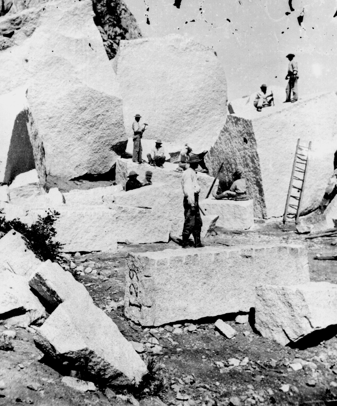
A pegmatite is an igneous rock showing a very coarse texture, with large interlocking crystals usually greater in size than and sometimes greater than . Most pegmatites are composed of quartz, feldspar, and mica, having a similar silicic composition to granite. However, rarer intermediate composition and mafic pegmatites are known. Many of the world's largest crystals are found within pegmatites. These include crystals of microcline, quartz, mica, spodumene, beryl, and tourmaline. Some individual crystals are over long. Most pegmatites are thought to form from the last fluid fraction of a large crystallizing magma body. This residual fluid is highly enriched in volatiles and trace elements, and its very low viscosity allows molecules to migrate rapidly to join an existing crystal rather than coming together to form new crystals. This allows a few very large crystals to form. While most pegmatites have a simple composition of minerals common in ordinary igneous rock, a few ... [...More Info...] [...Related Items...] OR: [Wikipedia] [Google] [Baidu] |
Basalt
Basalt (; ) is an aphanite, aphanitic (fine-grained) extrusive igneous rock formed from the rapid cooling of low-viscosity lava rich in magnesium and iron (mafic lava) exposed at or very near the planetary surface, surface of a terrestrial planet, rocky planet or natural satellite, moon. More than 90% of all volcanic rock on Earth is basalt. Rapid-cooling, fine-grained basalt is chemically equivalent to slow-cooling, coarse-grained gabbro. The eruption of basalt lava is observed by geologists at about 20 volcanoes per year. Basalt is also an important rock type on other planetary bodies in the Solar System. For example, the bulk of the plains of volcanism on Venus, Venus, which cover ~80% of the surface, are basaltic; the lunar mare, lunar maria are plains of flood-basaltic lava flows; and basalt is a common rock on the surface of Mars. Molten basalt lava has a low viscosity due to its relatively low silica content (between 45% and 52%), resulting in rapidly moving lava flo ... [...More Info...] [...Related Items...] OR: [Wikipedia] [Google] [Baidu] |
Amphibolite
Amphibolite () is a metamorphic rock that contains amphibole, especially hornblende and actinolite, as well as plagioclase feldspar, but with little or no quartz. It is typically dark-colored and dense, with a weakly foliated or schistose (flaky) structure. The small flakes of black and white in the rock often give it a salt-and-pepper appearance. Amphibolite frequently forms by metamorphism of mafic igneous rocks, such as basalt. However, because metamorphism creates minerals entirely based upon the chemistry of the protolith, certain 'dirty marls' and volcanic sediments may also metamorphose to an amphibolite assemblage. Deposits containing dolomite and siderite also readily yield amphibolite (tremolite-schist, grunerite-schist, and others) especially where there has been a certain amount of contact metamorphism by adjacent granitic masses. Metamorphosed basalt (metabasalt) creates ''ortho-amphibolite'' and other chemically appropriate lithologies create ''para-amphibolite''. ... [...More Info...] [...Related Items...] OR: [Wikipedia] [Google] [Baidu] |


