|
Motoyoshi District, Miyagi
Map showing original extent of Motoyoshi District in Miyagi Prefecturecolored area=original extent in Meiji period; green=present area is a rural district in Miyagi Prefecture, in the Tōhoku region of northern Japan. At present, the district consists only of the town of Minamisanriku with a combined population () of 11,860 people, a population density of 72.6 people per km2 and an area of . All of the city of Kesennuma and a small part of the city of Tome and part of the city of Ishinomaki were formerly part of the district. History Under the Tokugawa shogunate, the district was within Mutsu Province and was under the control of the Date clan of Sendai Domain. In 1869, following the Meiji restoration, Mutsu Province was divided, with the area of Motoyoshi District becoming part of Rikuzen Province, and from 1872, part of Miyagi Prefecture. In the establishment of the modern municipalities system, the district was organized into one town (Kesennuma (気仙沼)) and sixteen vil ... [...More Info...] [...Related Items...] OR: [Wikipedia] [Google] [Baidu] |
Miyagi Motoyoshi-gun
{{disambig, geo ...
Miyagi may refer to: Places * Miyagi Prefecture, one of the 47 major divisions of Japan * Miyagi, Gunma, a village in Japan, merged into Maebashi in 2004 *Miyagi District, Miyagi, a district in Miyagi Prefecture, Japan Other uses * Miyagi (surname) Miyagi (written: 宮城 lit. "shrine fortress") is a Japanese surname. It can be read as Miyashiro, or ''Naagusuku'' in the Ryukyu Islands. Notable people with the surname include: *, Japanese tennis player *, Okinawan martial artist * Kintaro Miya ... [...More Info...] [...Related Items...] OR: [Wikipedia] [Google] [Baidu] |
Meiji Restoration
The , referred to at the time as the , and also known as the Meiji Renovation, Revolution, Regeneration, Reform, or Renewal, was a political event that restored practical imperial rule to Japan in 1868 under Emperor Meiji. Although there were ruling emperors before the Meiji Restoration, the events restored practical abilities and consolidated the political system under the Emperor of Japan. The goals of the restored government were expressed by the new emperor in the Charter Oath. The Restoration led to enormous changes in Japan's political and social structure and spanned both the late Edo period (often called the Bakumatsu) and the beginning of the Meiji era, during which time Japan rapidly Industrialisation, industrialized and adopted Western culture, Western ideas and production methods. Foreign influence The Japanese knew they were behind the Western powers when US Commodore (United States), Commodore Matthew C. Perry came to Japan in 1853 in Black Ships, large warshi ... [...More Info...] [...Related Items...] OR: [Wikipedia] [Google] [Baidu] |
2011 Tōhoku Earthquake And Tsunami
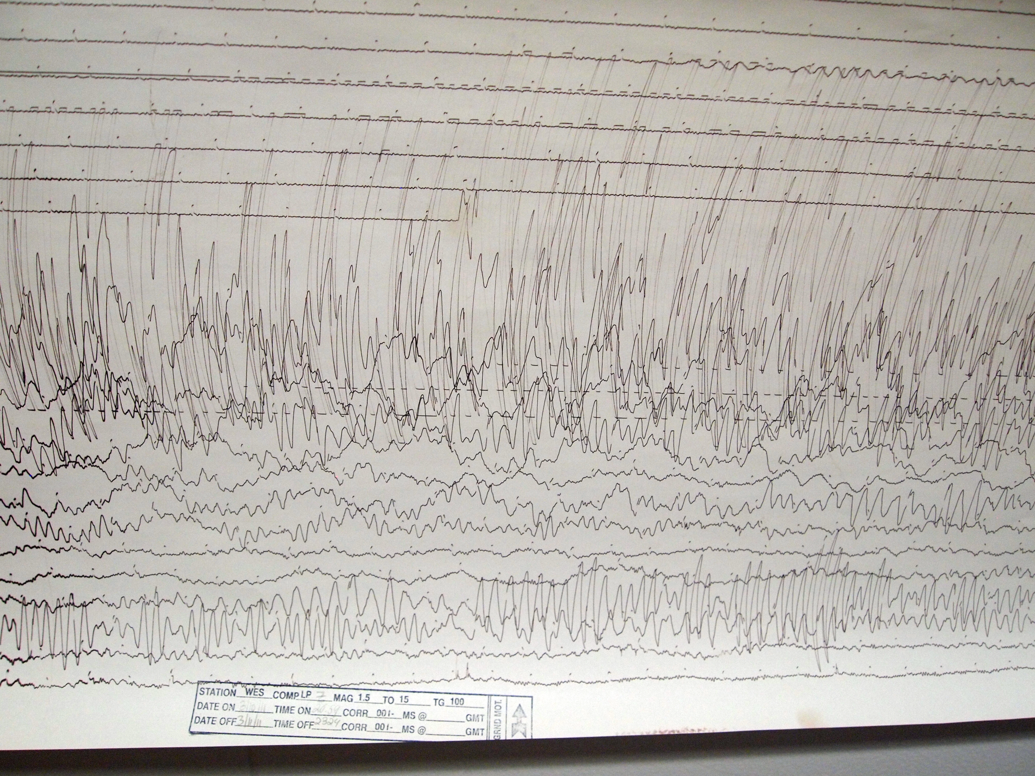
The occurred at 14:46 JST (05:46 UTC) on 11 March. The magnitude 9.0–9.1 (M) undersea megathrust earthquake had an epicenter in the Pacific Ocean, east of the Oshika Peninsula of the Tōhoku region, and lasted approximately six minutes, causing a tsunami. It is sometimes known in Japan as the , among other names. The disaster is often referred to in both Japanese and English as simply 3.11 (read in Japanese). It was the most powerful earthquake ever recorded in Japan, and the fourth most powerful earthquake in the world since modern record-keeping began in 1900. The earthquake triggered powerful tsunami waves that may have reached heights of up to in Miyako in Tōhoku's Iwate Prefecture,Yomiuri Shimbun evening edition 2-11-04-15 page 15, nearby Aneyoshi fishery port (姉吉漁港)(Google map E39 31 57.8, N 142 3 7.6) 2011-04-15大震災の津波、宮古で38.9 m…明治三陸上回るby okayasu Akio (岡安 章夫) and which, in the Sendai area, traveled at a ... [...More Info...] [...Related Items...] OR: [Wikipedia] [Google] [Baidu] |
Motoyoshi, Miyagi
was a town located in Motoyoshi District, Miyagi Prefecture, Japan. In 2003, the town had an estimated population of 11,716 and a population density of 109.80 persons per km². The total area was 106.70 km². Motoyoshi was divided into four districts: Magome, Koizumi, Tsuya, and Ohya. Koizumi and Ohya were both home to spectacular beaches until the disaster of March 11. Tsuya constitutes "downtown" Motoyoshi. Fishing and farming are the main industries though a printing company is also a large local employer. Motoyoshi, like many of Japan's smaller towns, had a declining population as young people increasingly moved to the large regional cities of Kesennuma and Sendai, or further South to Tokyo. The Motoyoshi Board of Education also employs Assistant Language Teachers (ALTs) that teach English at the local Elementary and Junior High Schools. A planned merger of municipalities was implemented on September 1, 2009; Motoyoshi was merged into the expanded city of Kesennuma ... [...More Info...] [...Related Items...] OR: [Wikipedia] [Google] [Baidu] |
Karakuwa, Miyagi
was a town located in Motoyoshi District, in the extreme northeast of Miyagi Prefecture, bordering Kesennuma to the north-west and Rikuzentakata, part of Iwate Prefecture, to the north, and with Kesennuma Bay including Oshima island to the west, Hirota Bay to the north-east, and the Pacific Ocean to the south and east. On March 31, 2006, Karakuwa was merged into the expanded city of Kesennuma and is no longer an independent municipality. The highest point in former Karakuwa is Sasanagane-yama (笹長根山 meaning 'bamboo grass with long roots mountain') (520 m), near the border with Rikuzentakata, and the lowest point is sea level. Name origin Karakuwa's name (唐桑) literally means "China (Tang dynasty, specifically) Mulberry", and has been used to refer to the area back to the times when it was part of a larger Kesen District in Mutsu Province. According to the story of where the name came from, a Chinese shipwrecked on the rocky coast, and in its hold was a mulberry tree. ... [...More Info...] [...Related Items...] OR: [Wikipedia] [Google] [Baidu] |
Utatsu, Miyagi
was a town located in Motoyoshi District, Miyagi Prefecture, Japan. In 2003, the town had an estimated population of 5,501 and a population density of 139.34 persons per km². The total area was 39.48 km². On October 1, 2005, Utatsu merged with the town of Shizugawa (also from Motoyoshi District) to create the town of Minamisanriku, and no longer exists as an independent municipality A municipality is usually a single administrative division having corporate status and powers of self-government or jurisdiction as granted by national and regional laws to which it is subordinate. The term ''municipality'' may also mean the go .... External linksOfficial website of Minamisanriku Dissolved municipalities of Miyagi Prefecture Minamisanriku, Miyagi {{Miyagi-geo-stub ... [...More Info...] [...Related Items...] OR: [Wikipedia] [Google] [Baidu] |
Shizugawa, Miyagi
was a town located in Motoyoshi District, Miyagi Prefecture, Japan. In 2003, the town had an estimated population of 13,688 and a population density of 110.16 persons per km². The total area was 124.25 km². Shizugawa has both a junior high school and a high school. On October 1, 2005, Shizugawa, merged with the town of Utatsu (also from Motoyoshi District) to create the town of Minamisanriku, and no longer exists as an independent municipality A municipality is usually a single administrative division having corporate status and powers of self-government or jurisdiction as granted by national and regional laws to which it is subordinate. The term ''municipality'' may also mean the go .... Shizugawa was severely affected by the 2011 Tōhoku tsunami, with great destruction and large loss of life. The tsunami topped the seawall, and buildings as tall as four stories were then totally immersed. External linksOfficial website of Minamisanriku Dissolved municipali ... [...More Info...] [...Related Items...] OR: [Wikipedia] [Google] [Baidu] |
Tome District, Miyagi
was a district located in northeastern Miyagi Prefecture, Japan. It was dissolved in 2005 when forming the city of Tome. As of 2000, the district estimated population of 89,389 and a density Density (volumetric mass density or specific mass) is the substance's mass per unit of volume. The symbol most often used for density is ''ρ'' (the lower case Greek letter rho), although the Latin letter ''D'' can also be used. Mathematical ... is 191 persons per km2. The total area was 467.98 km2. Former towns and villages The towns and villages formerly in the district, before amalgamation of Tome, including part of Motoyoshi District. * Hasama * Ishikoshi * Minamikata * Nakada * Toyoma * Towa * Toyosato Mergers On April 1, 2005 - the towns of Hasama, Ishikoshi, Minamikata, Nakada, Toyoma, Towa, Toyosato and Yoneyama merged with the town of Tsuyama (from Motoyoshi District), were merged to create the city of Tome. Tome District was dissolved. The new city hall ... [...More Info...] [...Related Items...] OR: [Wikipedia] [Google] [Baidu] |
Monou District, Miyagi
Map showing original extent of Monou District in Miyagi Prefecturecolored area=original extent in Meiji period was a rural district in Miyagi Prefecture, in the Tōhoku region of northern Japan. The city of Higashimatsushima and much of the city of Ishinomaki were formerly part of this district, which was dissolved in 2005. History Under the Tokugawa shogunate, the district was within Mutsu Province and was under the control of the Date clan of Sendai Domain. In 1869, following the Meiji restoration, Mutsu Province was divided, with the area of Monou District becoming part of Rikuzen Province, and from 1872, part of Miyagi Prefecture. In the establishment of the modern municipalities system, the district was organized into fifteen villages (Miyato (宮戸村), Nobiru (野蒜村), Ono (小野村), Takagi (鷹来村), Kanomata (鹿又村), Fukaya (深谷村), Maeyachi (前谷地村), Nakatsuyama (中津山村), Monou (桃生町), Oyachi (大谷地村), Iinogawa (飯野川町), H ... [...More Info...] [...Related Items...] OR: [Wikipedia] [Google] [Baidu] |
Miyagi Motoyoshi-gun 1889
{{disambig, geo ...
Miyagi may refer to: Places * Miyagi Prefecture, one of the 47 major divisions of Japan * Miyagi, Gunma, a village in Japan, merged into Maebashi in 2004 *Miyagi District, Miyagi, a district in Miyagi Prefecture, Japan Other uses * Miyagi (surname) Miyagi (written: 宮城 lit. "shrine fortress") is a Japanese surname. It can be read as Miyashiro, or ''Naagusuku'' in the Ryukyu Islands. Notable people with the surname include: *, Japanese tennis player *, Okinawan martial artist * Kintaro Miya ... [...More Info...] [...Related Items...] OR: [Wikipedia] [Google] [Baidu] |
Rikuzen Province
is an old province of Japan in the area of Miyagi Prefecture (excluding Igu, Katta District and Watari Districts) and parts of Iwate Prefecture (specifically Kesen District). Nussbaum, Louis-Frédéric. (2005). "''Rikuzen''" in . It was sometimes called , with Rikuchū and Mutsu Provinces. History *January 19, 1869: Rikuzen is separated from Mutsu Province *1872: A census estimates the population at 534,609 Historical districts * Iwate Prefecture ** Kesen District (気仙郡) * Miyagi Prefecture ** Kami District (加美郡) ** Kurihara District (栗原郡) - dissolved ** Kurokawa District (黒川郡) ** Miyagi District (宮城郡) ** Monou District (桃生郡) - dissolved ** Motoyoshi District (本吉郡) ** Natori District (名取郡) - dissolved ** Oshika District (牡鹿郡) ** Shibata District (柴田郡) ** Shida District (志田郡)- dissolved ** Tamatsukuri District (玉造郡) - dissolved ** Tōda District (遠田郡) ** Tome District (登米郡) - d ... [...More Info...] [...Related Items...] OR: [Wikipedia] [Google] [Baidu] |
Sendai Domain
The , also known as the , was a domain of the Tokugawa Shogunate of Japan during the Edo period from 1600 to 1871. The Sendai Domain was based at Aoba Castle in Mutsu Province, in the modern city of Sendai, located in the Tōhoku region of the island of Honshu. The Sendai Domain was ruled for its existence by the '' tozama'' ''daimyō'' of the Date, and under the ''kokudaka'' system its income rating at 625,000 ''koku'' was the third-largest domain in Japan after the Satsuma Domain and Kaga Domain. The Sendai Domain was geographically the largest domain in northern Japan with its mostly-contiguous holdings covering most of southern Mutsu Province, including all of present-day Miyagi Prefecture, parts of southern Iwate Prefecture and northeastern Fukushima Prefecture. The Sendai Domain was the focal member of the Ōuetsu Reppan Dōmei against the Meiji Restoration during the Boshin War. The Sendai Domain was dissolved in the abolition of the han system in 1871 by the Meiji governme ... [...More Info...] [...Related Items...] OR: [Wikipedia] [Google] [Baidu] |


