|
Mont Blanc De Cheilon
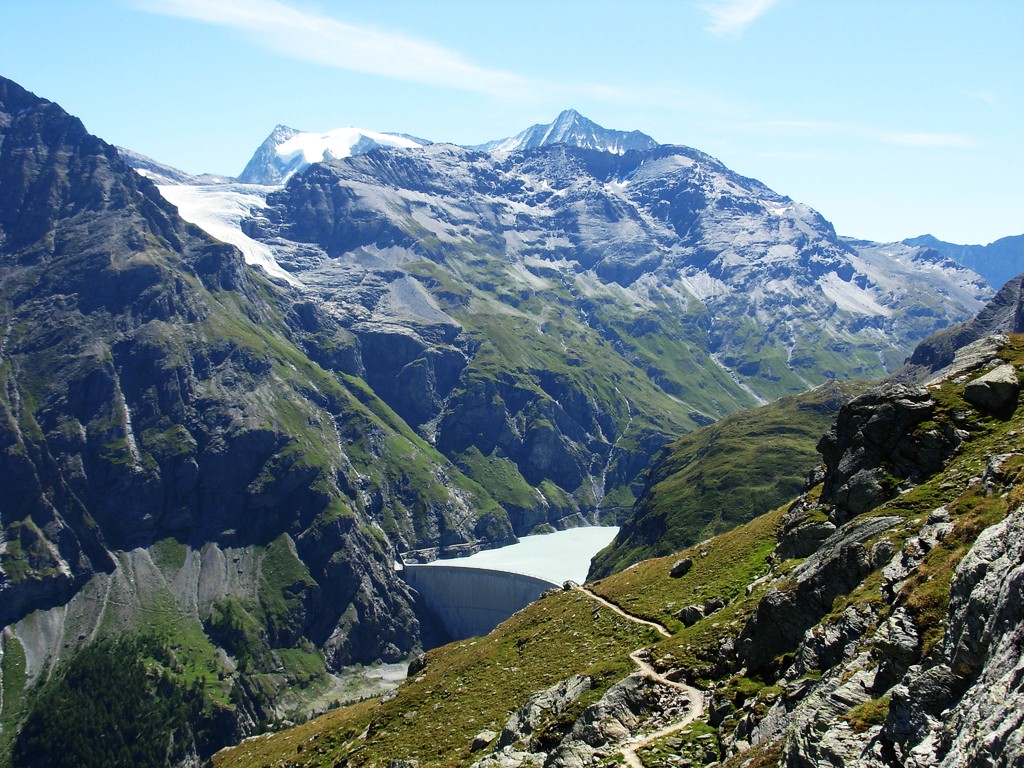
Mont Blanc de Cheilon (also spelled ''Mont Blanc de Seilon'') is a mountain of the Pennine Alps, located in the Swiss canton of Valais. The mountain lies between the valleys of Bagnes and Arolla. Culminating at 3,870 metres above sea level, it is one of the highest summits between the Grand Combin to the west and the Dent Blanche to the east. The massif is glaciated, with the Cheilon Glacier to the north, the Giétro Glacier to the west, the Brenay Glacier to the south and the Tsijiore Nouve Glacier to the east. The first ascent of the mountain was made by Johann Jakob Weilenmann and J. Felley on 11 September 1865. Huts * Cabane des Dix (2,928 m) * Cabane des Vignettes The Vignettes Hut (french: Cabane des Vignettes) is an alpine hut, located south of Arolla in the Swiss canton of Valais. It lies at a height of 3,160 metres above sea level, at the foot of the Pigne d'Arolla and near the Col de Chermotane in the ... (3,158 m) External links Mont Blanc de Cheilon on SummitP ... [...More Info...] [...Related Items...] OR: [Wikipedia] [Google] [Baidu] |
La Ruinette
La Ruinette is a mountain of the Swiss Pennine Alps, overlooking the Lake of Mauvoisin in the canton of Valais. With an altitude of 3,875 metres above sea level, it is the highest summit between the Grand Combin and the Dent Blanche. La Ruinette lies close to the better known Mont Blanc de Cheilon which has almost the same height (3,870 m). See also * List of mountains of the Alps above 3000 m *List of mountains of Switzerland This article contains a sortable table of many of the major mountains and hills of Switzerland. The table only includes those summits that have a topographic prominence of at least above other points, and ranks them by height and prominence. T ... References External links La Ruinette on SummitpostLa Ruinette on Hikr Mountains of the Alps Alpine three-thousanders Mountains of Valais Mountains of Switzerland Three-thousanders of Switzerland {{Valais-geo-stub ... [...More Info...] [...Related Items...] OR: [Wikipedia] [Google] [Baidu] |
Brenay Glacier
The Brenay Glacier (french: Glacier du Brenay) is a 5.95 km long glacier (1973) situated in the Pennine Alps in the canton of Valais in Switzerland. In 1973 it had an area of 9.96 km2. See also *List of glaciers in Switzerland * List of glaciers *Retreat of glaciers since 1850 The retreat of glaciers since 1850 affects the availability of fresh water for irrigation and domestic use, mountain recreation, animals and plants that depend on glacier-melt, and, in the longer term, the level of the oceans. Deglaciation occu ... * Swiss Alps External linksSwiss glacier monitoring network Glaciers of Valais Glaciers of the Alps {{valais-glacier-stub ... [...More Info...] [...Related Items...] OR: [Wikipedia] [Google] [Baidu] |
Mountains Of Valais
A mountain is an elevated portion of the Earth's crust, generally with steep sides that show significant exposed bedrock. Although definitions vary, a mountain may differ from a plateau in having a limited summit area, and is usually higher than a hill, typically rising at least 300 metres (1,000 feet) above the surrounding land. A few mountains are isolated summits, but most occur in mountain ranges. Mountains are formed through tectonic forces, erosion, or volcanism, which act on time scales of up to tens of millions of years. Once mountain building ceases, mountains are slowly leveled through the action of weathering, through slumping and other forms of mass wasting, as well as through erosion by rivers and glaciers. High elevations on mountains produce colder climates than at sea level at similar latitude. These colder climates strongly affect the ecosystems of mountains: different elevations have different plants and animals. Because of the less hospitable terrain and ... [...More Info...] [...Related Items...] OR: [Wikipedia] [Google] [Baidu] |
Alpine Three-thousanders
Three-thousanders are mountains with a height of between , but less than above sea level. Similar terms are commonly used for mountains of other height brackets e. g. four-thousanders or eight-thousanders. In Britain, the term may refer to mountains above . Climatological significance In temperate latitudes three-thousanders play an important role, because even in summer they lie below the zero degree line for weeks. Thus the chains of three-thousanders always form important climatic divides and support glaciation - in the Alps the contour is roughly the general limit of the "nival step"; only a few glaciated mountains are under (the Dachstein, the easternmost glaciated mountain in the Alps, is, at , not a three-thousander). In the Mediterranean, however, the three-thousanders remain free of ice and, in the tropics, they are almost insignificant from a climatic perspective; here the snow line lies at around to , and in the dry continental areas (Trans-Himalayas, Ande ... [...More Info...] [...Related Items...] OR: [Wikipedia] [Google] [Baidu] |
Mountains Of The Alps
This page tabulates only the most prominent mountains of the Alps, selected for having a topographic prominence of ''at least'' , and all of them exceeding in height. Although the list contains 537 summits, some significant alpine mountains are necessarily excluded for failing to meet the stringent prominence criterion. The list of these most prominent mountains is continued down to 2500 m elevation at List of prominent mountains of the Alps (2500–2999 m) and down to 2000 m elevation on List of prominent mountains of the Alps (2000–2499 m). All such mountains are located in either France, Italy, Switzerland, Liechtenstein, Austria, Germany or Slovenia, even in some lower regions. Together, these three lists include all 44 ultra-prominent peaks of the Alps, with 19 ultras over 3000m on this page. For a definitive list of all 82 the highest peaks of the Alps, as identified by the International Climbing and Mountaineering Federation (UIAA), and often referred to as the 'Alpi ... [...More Info...] [...Related Items...] OR: [Wikipedia] [Google] [Baidu] |
Cabane Des Vignettes
The Vignettes Hut (french: Cabane des Vignettes) is an alpine hut, located south of Arolla in the Swiss canton of Valais. It lies at a height of 3,160 metres above sea level, at the foot of the Pigne d'Arolla and near the Col de Chermotane in the Pennine Alps. All accesses to the hut involve glacier crossing.Swisstopo topographic maps The Cabane de Vignettes is a famous stop for those that walk or ski the Haute Route, Chamonix–Zermatt. This Haute Route was first established on foot in 1861 by English mountaineers. History A bivouac was built at the site in 1924 on the initiative of the English alpinist Stuart Jenkins, and the current building was built at the same location in 1946. See also *List of buildings and structures above 3000 m in Switzerland This is a list of buildings and infrastructures above in Switzerland. As this height approximately corresponds to the level of the climatic snow line in the Alps, infrastructures located above it are generally subject to harsh w ... [...More Info...] [...Related Items...] OR: [Wikipedia] [Google] [Baidu] |
Cabane Des Dix
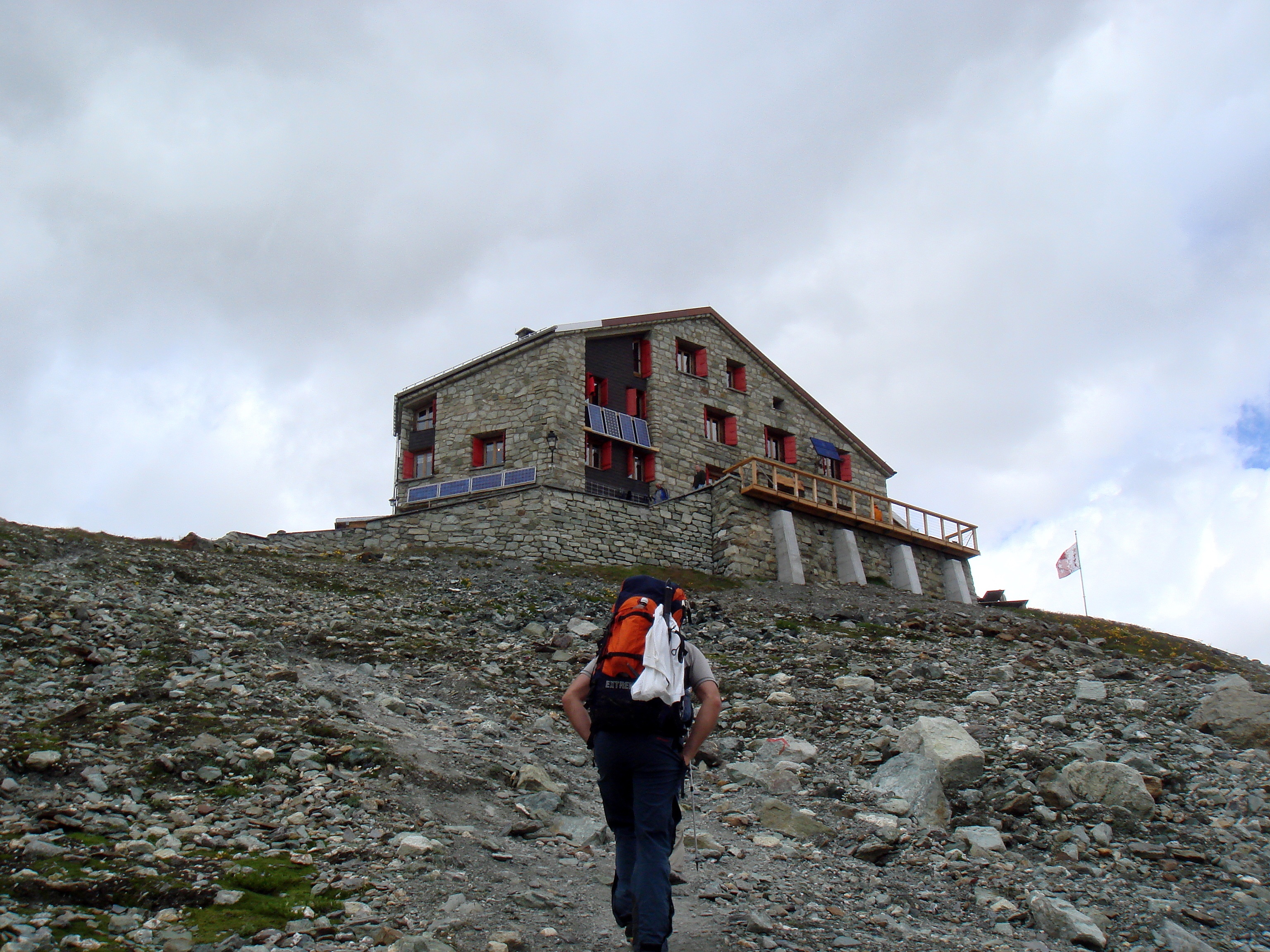
The Dix Hut ( French: ''Cabane des Dix'') is a mountain hut of the Swiss Alpine Club, located south of Hérémence in the canton of Valais. The hut lies above the Cheilon Glacier, at a height of 2,928 metres above sea level, approximately halfway between the Lac des Dix and the Mont Blanc de Cheilon. The Dix Hut is the starting point of the ascents of Mont Blanc de Cheilon, Pigne d'Arolla and La Luette. The shortest accesses to the hut are from Arolla (via the Chèvres/Riedmatten Pass) and from the Grande Dixence Dam __NOTOC__ The Grande Dixence Dam is a concrete gravity dam on the Dixence at the head of the Val d'Hérémence in the canton of Valais in Switzerland. At high, it is the tallest gravity dam in the world, sixth tallest dam overall, and the tall .... References * Swisstopo topographic maps External links * {{coord, 46, 00, 40, N, 7, 25, 04, E, region:CH-VS_type:landmark, display=title Mountain huts in Switzerland Buildings and structures in Valais Moun ... [...More Info...] [...Related Items...] OR: [Wikipedia] [Google] [Baidu] |
First Ascent
In mountaineering, a first ascent (abbreviated to FA in guide books) is the first successful, documented attainment of the top of a mountain or the first to follow a particular climbing route. First mountain ascents are notable because they entail genuine exploration, with greater risks, challenges and recognition than climbing a route pioneered by others. The person who performs the first ascent is called the first ascensionist. In free climbing, a first ascent (or first free ascent, abbreviated FFA) of a climbing route is the first successful, documented climb of a route without using equipment such as anchors or ropes for aiding progression or resting. History The details of the first ascents of even many prominent mountains are scanty or unknown; sometimes the only evidence of prior summiting is a cairn, artifacts, or inscriptions at the top. Today, first ascents are generally carefully recorded and usually mentioned in guidebooks. The term is also used when referrin ... [...More Info...] [...Related Items...] OR: [Wikipedia] [Google] [Baidu] |
Lac Des Dix And Mont Blanc
Lac is the resinous secretion of a number of species of lac insects, of which the most commonly cultivated is ''Kerria lacca''. Cultivation begins when a farmer gets a stick that contains eggs ready to hatch and ties it to the tree to be infested. Thousands of lac insects colonize the branches of the host trees and secrete the resinous pigment. The coated branches of the host trees are cut and harvested as sticklac. The harvested sticklac is crushed and sieved to remove impurities. The sieved material is then repeatedly washed to remove insect parts and other material. The resulting product is known as seedlac. The prefix ''seed'' refers to its pellet shape. Seedlac, which still contains 3–5% impurity, is processed into shellac by heat treatment or solvent extraction. The leading producer of lac is Jharkhand, followed by the Chhattisgarh, West Bengal, and Maharashtra states of India. Lac production is also found in Bangladesh, Myanmar, Thailand, Laos, Vietnam, parts of C ... [...More Info...] [...Related Items...] OR: [Wikipedia] [Google] [Baidu] |
Tsijiore Nouve Glacier
The Tsijiore Nouve Glacier (french: Glacier de Tsijiore Nouve) is a long glacier (2005) situated in the Pennine Alps in the canton of Valais in Switzerland. In 1973 it had an area of . See also *List of glaciers in Switzerland A ''list'' is any set of items in a row. List or lists may also refer to: People * List (surname) Organizations * List College, an undergraduate division of the Jewish Theological Seminary of America * SC Germania List, German rugby unio ... * Swiss Alps External linksSwiss glacier monitoring network Glaciers of the Alps Glaciers of Valais {{valais-glacier-stub ... [...More Info...] [...Related Items...] OR: [Wikipedia] [Google] [Baidu] |
Giétro Glacier
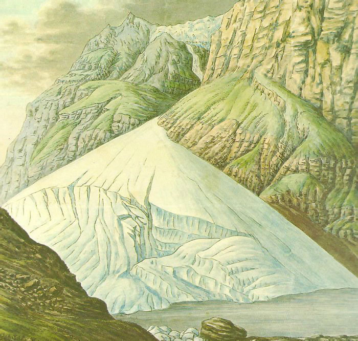
The Giétro Glacier or Giétroz Glacier (french: Glacier du Giétro) is a 4 km long valley glacier located in south-western Switzerland. The 1818 Giétro Glacier catastrophe, which led to lake outburst flood, is one of the most famous and most disastrous historical cases in the Swiss Alps. Description The Giétro Glacier lies on the northern side of the Pennine Alps in the Swiss canton of Valais. It is located in the upper Bagnes Valley, south of Martigny and Verbier. The length of the glacier is 4.45 km (2017) and its area is 5.3 km2 (2017). The glacier is fed by the snows of Mont Blanc de Cheilon (3,870 m) and La Ruinette (3,875 m). On the upper part, the glacier is relatively flat. It descends to the north on the side of Mont Rouge du Giétro and then curves to the west between Le Pleureur and Mont Rouge. On the lower part, the glacier reaches a steepness of 40% forming a large number of crevasses. The terminus is located at about 2,750 metres. Part of the g ... [...More Info...] [...Related Items...] OR: [Wikipedia] [Google] [Baidu] |
Valais
Valais ( , , ; frp, Valês; german: Wallis ), more formally the Canton of Valais,; german: Kanton Wallis; in other official Swiss languages outside Valais: it, (Canton) Vallese ; rm, (Chantun) Vallais. is one of the cantons of Switzerland, 26 cantons forming the Switzerland, Swiss Confederation. It is composed of thirteen districts and its capital and largest city is Sion, Switzerland, Sion. The flag of the canton is made of thirteen stars representing the districts, on a white-red background. Valais is situated in the southwestern part of Switzerland, the country. It borders the cantons of Canton of Vaud, Vaud and Canton of Bern, Bern to the north, the cantons of Canton of Uri, Uri and Ticino to the east, as well as Italy to the south and France to the west. It is one of the three large southern Alps, Alpine cantons, along with Ticino and the Grisons, which encompass a vast diversity of ecosystems. It is a bilingual canton, French language, French and German language, German ... [...More Info...] [...Related Items...] OR: [Wikipedia] [Google] [Baidu] |


_-_11.jpg)


