|
Molly Hill
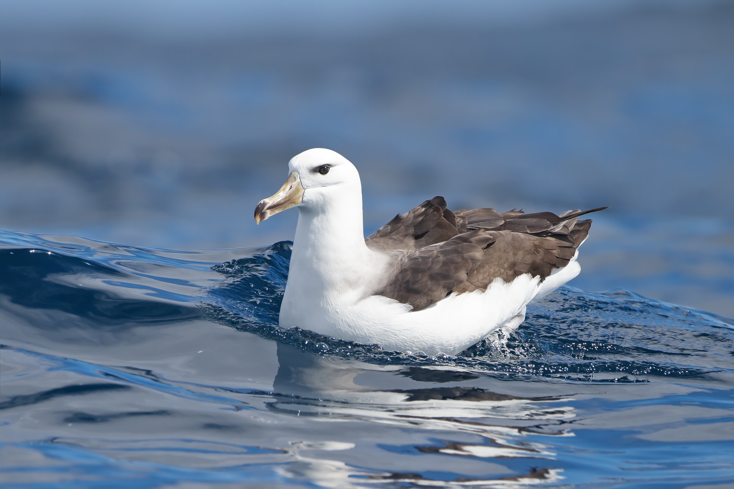
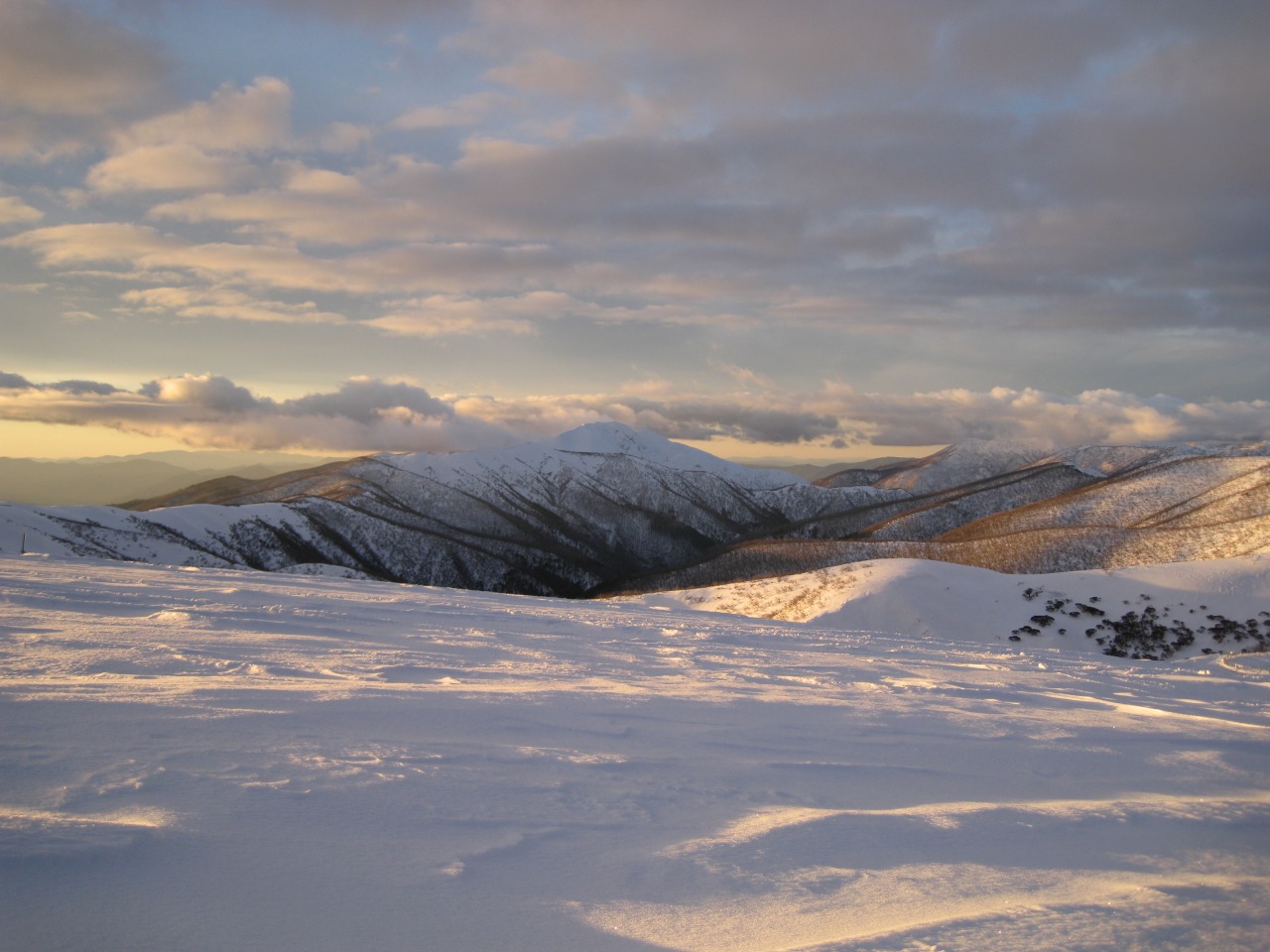
Molly Hill () is a hill between Evermann Cove and Johnson Cove on western Bird Island, South Georgia, an island in the southern Atlantic Ocean. The name derives from the black-browed albatross or "mollymawk" (''Diomedea melanophris'') which breeds on the hill in large numbers. According to the UK Antarctic Place-Names Committee, the name has been in local usage since at least 1963. Another Molly Hill is on The Razorback, a ridge to the south of the summit pyramid of Mount Feathertop Mount Feathertop is the second-highest mountain in the Australian state of Victoria and is part of the Australian Alps and is located within the Alpine National Park. It rises to and is usually covered in snow from June to September. Unlike m ..., Victoria, Australia. It was named after Molly Hill, a skier who died nearby in September 1932. A cairn with a memorial plaque is near the top of the hill. References Hills of Antarctica {{SouthGeorgia-geo-stub ... [...More Info...] [...Related Items...] OR: [Wikipedia] [Google] [Baidu] |
Evermann Cove
Evermann Cove () is a cove long, lying just southwest of Jordan Cove along the south side of Bird Island, South Georgia. It was surveyed by the South Georgia Biological Expedition, 1958–59, and was named by the UK Antarctic Place-Names Committee in 1960 for Barton W. Evermann, an American zoologist on the staff of the United States Fish Commission from 1891 to 1903 and its successor, the United States Bureau of Fisheries United may refer to: Places * United, Pennsylvania, an unincorporated community * United, West Virginia, an unincorporated community Arts and entertainment Films * ''United'' (2003 film), a Norwegian film * ''United'' (2011 film), a BBC Two fi ..., from 1903 to 1914, and a specialist in administrative and legal problems relating to the fur seal. References Coves of South Georgia and the South Sandwich Islands {{SouthGeorgia-geo-stub ... [...More Info...] [...Related Items...] OR: [Wikipedia] [Google] [Baidu] |
Johnson Cove
Johnson Cove () is a cove entered between Pio Point and Pearson Point on the west side of Bird Island, off the west end of South Georgia. The name appears to be first used in a 1948 British Admiralty The Admiralty was a department of the Government of the United Kingdom responsible for the command of the Royal Navy until 1964, historically under its titular head, the Lord High Admiral – one of the Great Officers of State. For much of it ... pilot (navigation guide). References Coves of South Georgia and the South Sandwich Islands {{SouthGeorgia-geo-stub ... [...More Info...] [...Related Items...] OR: [Wikipedia] [Google] [Baidu] |
Bird Island, South Georgia
Bird Island ( es, Isla Pájaro) is long and wide, separated from the western end of South Georgia by Bird Sound. It is part of the British overseas territory of South Georgia and the South Sandwich Islands, also claimed by Argentina as part of Tierra del Fuego province. History It was discovered in 1775 by a British expedition under James Cook, who so named it "on account of the vast numbers f birdsthat were upon it". In the late 1950s, the island was the subject of a number of US-funded projects. Between 1959–62, a great number of the island's wandering albatross were ringed, which gave startling data about their range - one bird was found in Australia. The island is currently a Site of Special Scientific Interest, and so there are no landings allowed without permission. The summit of the island, Roché Peak, is named after the Englishman Anthony de la Roché who discovered South Georgia in 1675. Farewell Point forms the northeast extremity of Bird Island. The second hi ... [...More Info...] [...Related Items...] OR: [Wikipedia] [Google] [Baidu] |
South Georgia Island
South Georgia ( es, Isla San Pedro) is an island in the South Atlantic Ocean that is part of the British Overseas Territory of South Georgia and the South Sandwich Islands. It lies around east of the Falkland Islands. Stretching in the east–west direction, South Georgia is around long and has a maximum width of . The terrain is mountainous, with the central ridge rising to at Mount Paget. The northern coast is indented with numerous bays and fjords, serving as good harbours. Discovered by Europeans in 1675, South Georgia had no indigenous population due to its harsh climate and remoteness. Captain James Cook in made the first landing, survey and mapping of the island, and on 17 January 1775 he claimed it a British possession, naming it "Isle of Georgia" after King George III. Through its history, it served as a whaling and seal hunting base, with intermittent population scattered in several whaling bases, the most important historically being Grytviken. The main settleme ... [...More Info...] [...Related Items...] OR: [Wikipedia] [Google] [Baidu] |
Atlantic Ocean
The Atlantic Ocean is the second-largest of the world's five oceans, with an area of about . It covers approximately 20% of Earth's surface and about 29% of its water surface area. It is known to separate the " Old World" of Africa, Europe and Asia from the "New World" of the Americas in the European perception of the World. The Atlantic Ocean occupies an elongated, S-shaped basin extending longitudinally between Europe and Africa to the east, and North and South America to the west. As one component of the interconnected World Ocean, it is connected in the north to the Arctic Ocean, to the Pacific Ocean in the southwest, the Indian Ocean in the southeast, and the Southern Ocean in the south (other definitions describe the Atlantic as extending southward to Antarctica). The Atlantic Ocean is divided in two parts, by the Equatorial Counter Current, with the North(ern) Atlantic Ocean and the South(ern) Atlantic Ocean split at about 8°N. Scientific explorations of the A ... [...More Info...] [...Related Items...] OR: [Wikipedia] [Google] [Baidu] |
Black-browed Albatross
The black-browed albatross (''Thalassarche melanophris''), also known as the black-browed mollymawk,Robertson, C. J. R. (2003) is a large seabird of the albatross family Diomedeidae; it is the most widespread and common member of its family. Taxonomy Mollymawks are albatrosses in the family Diomedeidae and order Procellariiformes, which also includes shearwaters, fulmars, storm petrels, and diving petrels. These birds share certain identifying features. They have nasal passages that attach to the upper bill called naricorns, although the nostrils on the albatross are on the sides of the bill. The bills of Procellariiformes are also unique in that they are split into between seven and nine horny plates. They produce a stomach oil made up of wax esters and triglycerides that is stored in the proventriculus. This is used against predators as well as being an energy-rich food source for chicks and also for the adults during their long flights. The albatross also has a salt gland a ... [...More Info...] [...Related Items...] OR: [Wikipedia] [Google] [Baidu] |
UK Antarctic Place-Names Committee
The UK Antarctic Place-Names Committee (or UK-APC) is a United Kingdom government committee, part of the Foreign and Commonwealth Office, responsible for recommending names of geographical locations within the British Antarctic Territory (BAT) and the South Georgia and the South Sandwich Islands (SGSSI). Such names are formally approved by the Commissioners of the BAT and SGSSI respectively, and published in the BAT Gazetteer and the SGSSI Gazetteer maintained by the Committee. The BAT names are also published in the international Composite Gazetteer of Antarctica maintained by Scientific Committee on Antarctic Research, SCAR. The Committee may also consider proposals for new place names for geographical features in areas of Antarctica outside BAT and SGSSI, which are referred to other Antarctic place-naming authorities, or decided by the Committee itself if situated in the unclaimed sector of Antarctica. Names attributed by the committee * Anvil Crag, named for descriptive featu ... [...More Info...] [...Related Items...] OR: [Wikipedia] [Google] [Baidu] |
Mount Feathertop
Mount Feathertop is the second-highest mountain in the Australian state of Victoria and is part of the Australian Alps and is located within the Alpine National Park. It rises to and is usually covered in snow from June to September. Unlike most mountains in the Australian Alps, Mount Feathertop has steep summit slopes instead of a rounded summit dome. Snow remaining in the summit gullies until late spring gives the appearance of feathers, hence the name. Mount Feathertop's proximity to the Mount Hotham ski resort has led to it becoming a popular backcountry skiing destination. A large and highly dangerous snow cornice usually forms along the summit ridge in winter and early spring, the collapse of which has claimed the lives of a number of people who have (sometimes unwittingly) stood on it or too close to it. It is also known for its often dangerously icy slopes on which skiers and walkers have lost their footing with fatal results. History Mt Feathertop was sighted and ... [...More Info...] [...Related Items...] OR: [Wikipedia] [Google] [Baidu] |


