|
Mill Bay (Nass)
Mill Bay may refer to: * Mill Bay, Alaska, United States * Mill Bay, British Columbia, Canada * Mill Bay, Northern Ireland * Millbay, Plymouth, England * Nanjizal Nanjizal ( kw, Porth Nansusel, meaning "cove of the howling valley"), also known as Mill Bay, is a beach and cove in the civil parish of St Levan, Cornwall, United Kingdom. Situated one mile to the south-east of Land's End, Nanjizal has no dire ..., Cornwall, England * a ferry in British Columbia {{geodis ... [...More Info...] [...Related Items...] OR: [Wikipedia] [Google] [Baidu] |
Mill Bay, Alaska
Mill Bay is a census-designated place (CDP) in Kodiak Island Borough, Alaska, Kodiak Island Borough, Alaska, United States. It was first listed as a CDP prior to the 2020 United States Census, 2020 census. Geography Mill Bay is located at the northeast tip of Kodiak Island, surrounding the small bay for which the community is named. It is bordered to the southwest by the city of Kodiak, Alaska, Kodiak. According to the United States Census Bureau, the Mill Bay CDP has a total area of , of which are land and , or 4.62%, are water. Demographics As of the 2020 United States Census, 2020 census, the population of the CDP is 4,216. It is the second most populated place in the borough. References {{authority control Census-designated places in Alaska Census-designated places in Kodiak Island Borough, Alaska Populated coastal places in Alaska on the Pacific Ocean ... [...More Info...] [...Related Items...] OR: [Wikipedia] [Google] [Baidu] |
Mill Bay, British Columbia
Mill Bay is a commuter town of about 7,200 people located on Vancouver Island, British Columbia, Canada about north of Victoria, the capital. It is part of the Cowichan Valley Regional District. Mill Bay was founded in the 1860s with lumber and milling as its primary industries, done at the mill on the bay. It was named for the sawmill built in the area in 1861 by Henry S. Shepherd soon purchased by William Sayward. It is known for its ferry to Brentwood Bay on the Saanich Peninsula and the historic Malahat Drive, which is also a source of criticism due to frequent closures from either automobile accidents or weather conditions. Numerous suggestions have been made by various groups regarding a 'bypass' route (possibly a bridge), though as of 2007, the Brentwood-Mill Bay Ferry and the Malahat remain the best routes to Greater Victoria from the rest of Vancouver Island (a third route goes south from Lake Cowichan via Port Renfrew to Victoria). The MV ''Mill Bay'' that has se ... [...More Info...] [...Related Items...] OR: [Wikipedia] [Google] [Baidu] |
Mill Bay, Northern Ireland
Mill Bay is a small village on Islandmagee in County Antrim, Northern Ireland. It sits by the tiny Carnspindle Bay, within the townland of Carnspindle. It is in the Larne Borough Council area. In the 2011 Census it had a population of 103 people (40 households). (2001 census: 93 people). Places of interest Ballylumford Dolmen, locally known as the "Druid's Altar", is a archeological site where artifacts from an ancient burial chamber have been recovered. See also *List of towns and villages in Northern Ireland This is an alphabetical list of towns and villages in Northern Ireland. For a list sorted by population, see the list of settlements in Northern Ireland by population. The towns of Armagh, Lisburn and Newry are also classed as cities (see city sta ... References Villages in County Antrim Civil parish of Island Magee {{Antrim-geo-stub ... [...More Info...] [...Related Items...] OR: [Wikipedia] [Google] [Baidu] |
Millbay
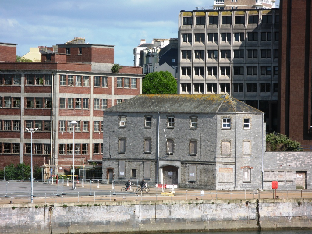
Millbay, also known as Millbay Docks, is an area of dockland in Plymouth, Devon, England. It lies south of Union Street, between West Hoe in the east and Stonehouse in the west. The area is currently subject to a public-private regeneration creating new homes, business premises, marina, a 1000-pupil school and opening up the waterfront to greater public access. Early history Mill Bay was a natural inlet to the west of the Hoe. It was originally far more extensive than the current docks because it included the "Sourepool" which was a tidal salt-marsh that lay roughly along the line of today's Union Street. The Sourepool was separated from the bay by a narrow neck across which tidal mills were built, probably in the 12th century. These mills were operated by the Priors of Plympton who collected the income from grinding corn. By the mid 15th century, the mills were owned and let by the Corporation of Plymouth; the lease was sold to Francis Drake in 1573. In 1591–92 Drake bu ... [...More Info...] [...Related Items...] OR: [Wikipedia] [Google] [Baidu] |
