|
Mexican Riviera
The Mexican Riviera refers collectively to twenty cities and lagoons lying on the western coast of Mexico. Although there are long distances between these cities, they are often collectively referred to as the ''Mexican Riviera'' because of their many oceanfront resorts and their popularity among tourists. Cruise ships often visit three or four of these destinations on their longer cruises. In a 2005 interview Stanley McDonald, the founder of Princess Cruises, mentioned: The call of the "Mexican Riviera" was coined by Princess Cruise Line. Now everyone refers to it as the Mexican Riviera. I believe that it really spoke to the quality and beauty of what people would see down there. We all know the French Riviera -- the Mexican Riviera was something we had in the western hemisphere. Some of the many areas that are considered part of the Mexican Riviera, listed in order from north to south: * Ensenada, Baja California *Cabo San Lucas, Baja California Sur *Mazatlán, Sinaloa * ... [...More Info...] [...Related Items...] OR: [Wikipedia] [Google] [Baidu] |
Cabo San Lucas 1
Cabo is Spanish, Portuguese and Galician for cape. It may refer to: * Cabo San Lucas, a resort city in Baja California Sur, Mexico * Cabó, a municipality in Alt Urgell, Lleida, Catalonia, Spain Other places * Cabo Blanco, Costa Rica * Cabo Corrientes (municipality), a municipality in Jalisco, Mexico * Cabo Delgado, a province of Mozambique * Cabo Frio, a Brazilian municipality * Cabo Orange National Park, Amapá, Brazil * Cabo Polonio, a hamlet in the Rocha Department, Uruguay * Cabo Rojo, Puerto Rico, a municipality situated on the southwest coast of Puerto Rico * Cabo Verde, the Portuguese name for Cape Verde * San José del Cabo, a city in Baja California Sur, Mexico, part of Los Cabos with Cabo San Lucas Capes: * Cabo Branco Lighthouse, a cape in the extreme est of the entire Americas. Joao Pessoa, Brazil * Cabo Catoche, the northernmost point on the Yucatán Peninsula * Cabo Corrientes, Chocó, a cape on the Pacific coast of Colombia * Cabo Corrientes, Cuba, a cape in th ... [...More Info...] [...Related Items...] OR: [Wikipedia] [Google] [Baidu] |
Nayarit
Nayarit (), officially the Free and Sovereign State of Nayarit ( es, Estado Libre y Soberano de Nayarit), is one of the 31 states that, along with Mexico City, comprise the Federal Entities of Mexico. It is divided in 20 municipalities and its capital city is Tepic. It is bordered by the states of Sinaloa to the northwest, Durango to the north, Zacatecas to the northeast and Jalisco to the south. To the west, Nayarit has a significant share of coastline on the Pacific Ocean, including the islands of Marías and Marietas. The beaches of San Blas and the so-called "Riviera Nayarit" are popular with tourists. Besides tourism, the economy of the state is based mainly on agriculture and fishing. It is also one of two states where the tarantula species ''Brachypelma klaasi'' is found, the other being Jalisco. Home to Uto-Aztecan indigenous peoples such as the Huichol and Cora, the region was exposed to the ''conquistadores'', Hernán Cortés and Nuño de Guzmán, in the 16t ... [...More Info...] [...Related Items...] OR: [Wikipedia] [Google] [Baidu] |
Oaxaca
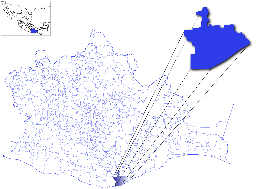
Oaxaca ( , also , , from nci, Huāxyacac ), officially the Free and Sovereign State of Oaxaca ( es, Estado Libre y Soberano de Oaxaca), is one of the 32 states that compose the political divisions of Mexico, Federative Entities of Mexico. It is divided into municipalities of Oaxaca, 570 municipalities, of which 418 (almost three quarters) are governed by the system of (customs and traditions) with recognized local forms of self-governance. Its capital city is Oaxaca de Juárez. Oaxaca is in southwestern Mexico. It is bordered by the states of Guerrero to the west, Puebla to the northwest, Veracruz to the north, and Chiapas to the east. To the south, Oaxaca has a significant coastline on the Pacific Ocean. The state is best known for #Indigenous peoples, its indigenous peoples and cultures. The most numerous and best known are the Zapotec peoples, Zapotecs and the Mixtecs, but there are sixteen that are officially recognized. These cultures have survived better than most others ... [...More Info...] [...Related Items...] OR: [Wikipedia] [Google] [Baidu] |
Salina Cruz
Salina Cruz is a major seaport on the Pacific coast of the Mexican state of Oaxaca. It is the state's third-largest city and is the municipal seat of the municipality of the same name. It is part of the Tehuantepec District in the west of the Istmo Region. The city had a 2005 census population of 71,314, while its municipality, with an area of had a population of 76,219, the state's fourth-largest municipality in population. The port was developed in the late 19th century due to its location at the southern terminus of the Ferrocarril Transístmico, which carried freight across the Isthmus of Tehuantepec. History Salina Cruz, was founded by the Spanish in 1522 under whose command Pedro de Alvarado came. It was given the name "Salina de la Santa Cruz" as its official foundation day was the Catholic day of the holy cross. Salina Cruz is situated near the mouth of the Río Tehuantepec, on the open coast of the Isthmus of Tehuantepec on the Gulf of Tehuantepec, and has no nat ... [...More Info...] [...Related Items...] OR: [Wikipedia] [Google] [Baidu] |
Huatulco
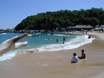
Huatulco (; ''wah-TOOL-coh''), formally Bahías de Huatulco, centered on the town of La Crucecita, is a tourist development in Mexico. It is located on the Pacific coast in the state of Oaxaca. Huatulco's tourism industry is centered on its nine bays, thus the name Bahias de Huatulco, but has since been unofficially shortened to simply Huatulco. Huatulco has a wide variety of accommodation from rooms for rent, small economy hotels, luxury villas, vacation condominia, bed and breakfasts, as well as several luxury resorts standing on or near the shores of Tangolunda Bay. The Camino Real Zaashila (formerly the Omni Zaashila), Quinta Real Huatulco, Las Brisas (formerly a Club Med), Dreams Resort & Spa (formerly the Royal Maeva then the Gala hotel), and the Barceló (formerly the Sheraton hotel) are examples of the most popular larger resorts in the area. Huatulco is located where the foothills of the Sierra Madre del Sur mountains meet the Pacific Ocean, approximately east of Acapu ... [...More Info...] [...Related Items...] OR: [Wikipedia] [Google] [Baidu] |
Puerto Escondido, Oaxaca
Puerto Escondido (English: "Hidden Port") is a small port and tourist center in the municipality of San Pedro Mixtepec Distrito 22 in the Mexican state of Oaxaca. Prior to the 1930s, there was no town. The bay had been used as a port intermittently to ship coffee, but there was no permanent settlement due to the lack of potable water. The name "Puerto Escondido" had roots in the legend of a woman who escaped her captors and hid here. The Nahuatl word for this area was Zicatela, meaning “place of large thorns". Today, it refers to the area's most famous beach. Puerto Escondido is one of the most important tourist attractions on the Oaxacan coast. It caters to a more downscale and eclectic clientele than neighboring Huatulco, mostly surfers, backpackers and Mexican families. The main attractions are the beaches: Zicatela Beach hosts major surfing competitions, while other beaches have gentle waves. A large lagoon area to the west of the town is popular for fishing and birdwatch ... [...More Info...] [...Related Items...] OR: [Wikipedia] [Google] [Baidu] |
Acapulco
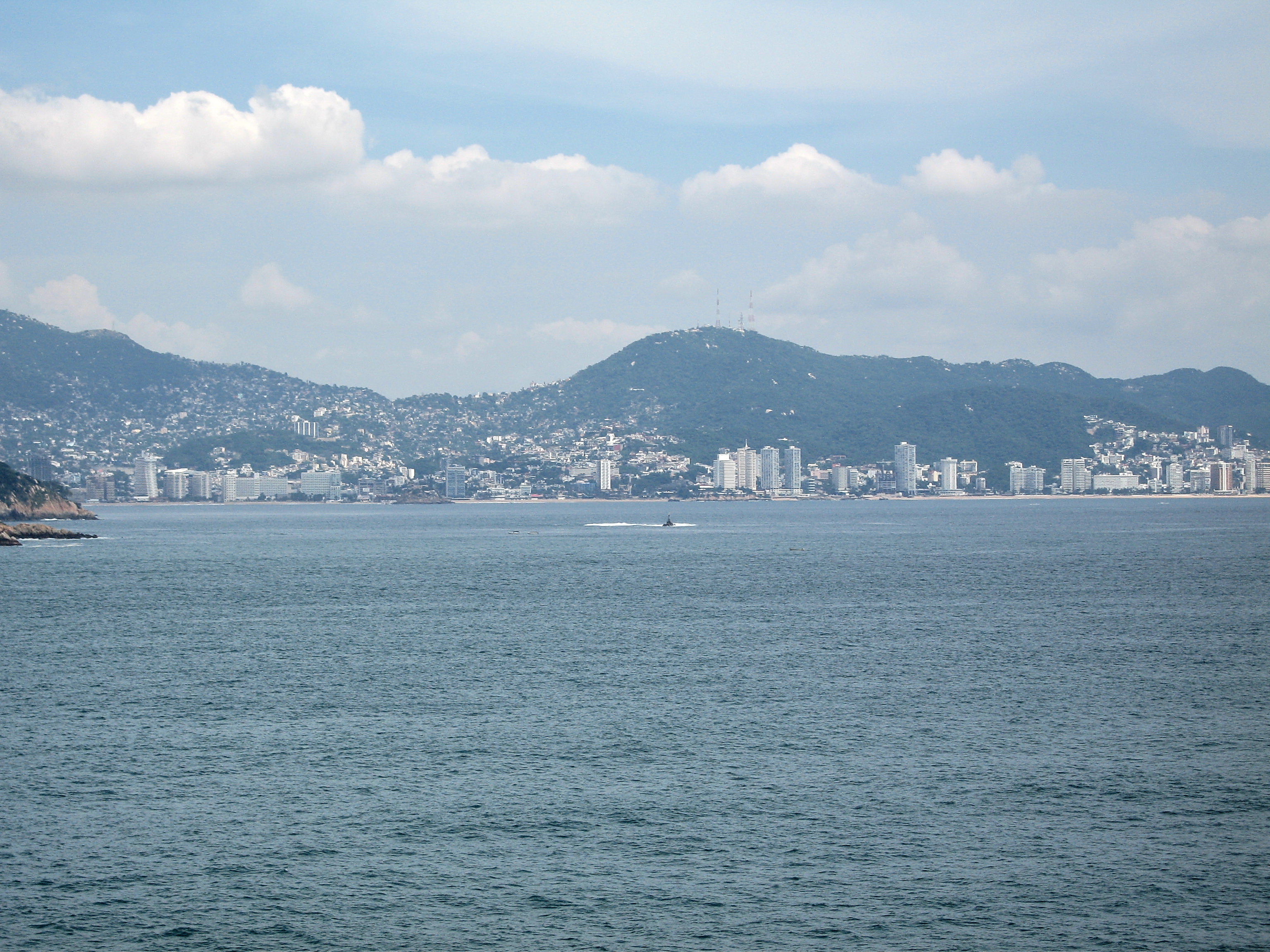
Acapulco de Juárez (), commonly called Acapulco ( , also , nah, Acapolco), is a city and major seaport in the state of Guerrero on the Pacific Coast of Mexico, south of Mexico City. Acapulco is located on a deep, semicircular bay and has been a port since the early colonial period of Mexico's history. It is a port of call for shipping and cruise lines running between Panama and San Francisco, California, United States. The city of Acapulco is the largest in the state, far larger than the state capital Chilpancingo. Acapulco is also Mexico's largest beach and balneario resort city. Acapulco de Juárez is the municipal seat of the municipality of Acapulco. The city is one of Mexico's oldest beach resorts, coming into prominence in the 1940s through the 1960s as a getaway for Hollywood stars and millionaires. Acapulco was once a popular tourist resort, but due to a massive upsurge in gang violence and homicide numbers since 2014, Acapulco no longer attracts many foreign touris ... [...More Info...] [...Related Items...] OR: [Wikipedia] [Google] [Baidu] |
Guerrero
Guerrero is one of the 32 states that comprise the 32 Federal Entities of Mexico. It is divided in 81 municipalities and its capital city is Chilpancingo and its largest city is Acapulcocopied from article, GuerreroAs of 2020, Guerrero the population was recorded that 3,540,685 people who live there. The international sales of their production has gone up, production like fresh mangoes, figs, coconuts, pineapple, avocado, and so much more produce. These sales have really helped Guerrero's economy. These productions have also helped In addition to the capital city, the state's largest cities include Acapulco, Petatlán, Ciudad Altamirano, Taxco, Iguala, Ixtapa, Zihuatanejo, anSanto Domingo Today, it is home to a number of indigenous communities, including the Nahuas, Mixtecs, Tlapanecs, Amuzgos, and formerly Cuitlatecscopied from article, GuerreroMost of the production is from the local farmers all over the cities of Guerrero, Chilpancingo, Iguala. A good portion of Guerrero' ... [...More Info...] [...Related Items...] OR: [Wikipedia] [Google] [Baidu] |
Zihuatanejo
Zihuatanejo (), or Ixtapa-Zihuatanejo, is the fourth-largest city in the Mexican state of Guerrero. It was known by 18th century English mariners as Chequetan or Seguataneo. Politically the city belongs to the municipalities of Mexico, municipality of Zihuatanejo de Azueta in the western part of Guerrero, but both are commonly referred to as Zihuatanejo. It is on the Pacific Coast, about northwest of Acapulco and further south in latitude than Honolulu, Honolulu, Hawaii. Zihuatanejo belongs to a section of the Mexican Pacific Coast known as the Costa Grande of Guerrero, Costa Grande. This town has been developed as a tourist attraction along with the modern tourist resort of Ixtapa, away. However, Zihuatanejo has kept its traditional town feel. The town is located on a well-protected bay which is popular with private boat owners during the winter months. There are two possible origins for the name Zihuatanejo. One origin might be from the Purépecha language meaning "water of t ... [...More Info...] [...Related Items...] OR: [Wikipedia] [Google] [Baidu] |
Ixtapa
Ixtapa (, ) is a resort city in Mexico, adjacent to the Pacific Ocean in the municipality of Zihuatanejo de Azueta in the state of Guerrero. It is located northwest of the municipal seat, Zihuatanejo, and northwest of Acapulco. In the 2005 INEGI Census, the population of Ixtapa was 6,406. Creation of Ixtapa Ixtapa is a government-planned tourist resort that was begun in the and constructed on what was once a coconut plantation and mangrove estuary. In 1968, the Bank of Mexico created a special fund for the creation of new tourist destinations on the country's coastlines. The first two such destinations were Cancún, in the state of Quintana Roo, and Ixtapa, next to the town of The development of Ixtapa was supported by a loan from the World Bank. The master plan for Ixtapa was developed by architects Enrique and Agustín Landa Verdugo, who also participated in the choice of the site. Their project defined the tourist destination's street layout and zoning. The project is ... [...More Info...] [...Related Items...] OR: [Wikipedia] [Google] [Baidu] |
Colima
Colima (), officially the Free and Sovereign State of Colima ( es, Estado Libre y Soberano de Colima), is one of the 31 states that make up the Political divisions of Mexico, 32 Federal Entities of Mexico. It shares its name with its capital and main city, Colima City, Colima. Colima is a small state located in Western Mexico on the central Pacific coast, and includes the four oceanic Revillagigedo Islands. Mainland Colima shares borders with the states of Jalisco and Michoacán. In addition to the capital city of Colima, the main cities are Manzanillo, Colima, Manzanillo and Tecomán. Colima is the fourth smallest state in Mexico and has the second smallest population, but has one of Mexico's highest standards of living and the lowest unemployment. However, Colima is also the state with the highest murder rate per capita and one of the highest crime rates, due to its ports being a contested area for cartels. Geography The state covers a territory of 5,455 km2 and is th ... [...More Info...] [...Related Items...] OR: [Wikipedia] [Google] [Baidu] |


