|
Mexican Federal Highway 44
Federal Highway 44 ( ''La Carretera Federal 44'' ) (Fed. 44) is a free (libre) part of the federal highways corridors (los corredores carreteros federales) of Mexico Mexico (Spanish: México), officially the United Mexican States, is a country in the southern portion of North America. It is bordered to the north by the United States; to the south and west by the Pacific Ocean; to the southeast by Guatema .... References 044 Transportation in Zacatecas {{Mexico-road-stub ... [...More Info...] [...Related Items...] OR: [Wikipedia] [Google] [Baidu] |
Secretaría De Comunicaciones Y Transportes
The Secretariat of Infrastructure, Communications and Transportation (''Secretaría de Infraestructura, Comunicaciones y Transportes'', SICT) of Mexico is the national federal entity that regulates commercial road traffic and broadcasting. Its headquarters are in the Torre Libertad on Reforma in Mexico City but some aspects of the department still function at the old headquarters located at the intersection of Eje Central and Eje 4 Sur (Xola). The building is decorated with murals created by arranging small colored stones on the building's outer walls. Historical nomenclature The forerunner of the modern-day SCT was created in 1891 under President Porfirio Díaz and was known as the Secretariat of Communications ''(Secretaría de Comunicaciones)''; its first incumbent as secretary was Manuel González Cosío. In 1920 it was renamed to the Secretariat of Communications and Public Works ''(Secretaría de Comunicaciones y Obras Públicas;'' "SCOP"). In 1959, it changed names to '' ... [...More Info...] [...Related Items...] OR: [Wikipedia] [Google] [Baidu] |
Fresnillo
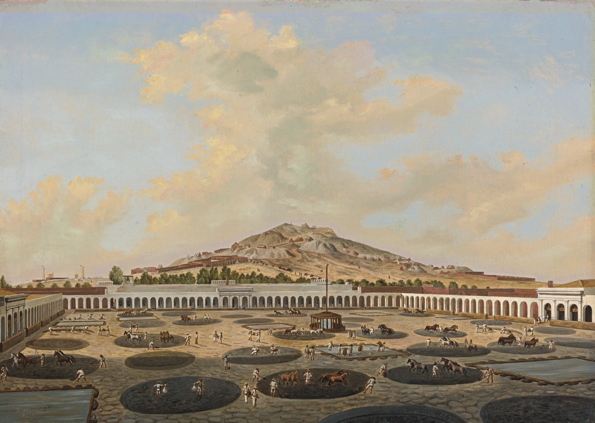
Fresnillo (/fres'nijo/), founded in 1554 by Francisco de Ibarra, is the second largest city in Zacatecas state, north central Mexico and the seat of Fresnillo municipality. As a rail and highway junction, Fresnillo is the center of a rich mining area known especially for silver, and the location of one of the world's richest silver mines, the Mina Proaño or Fresnillo Mine, which belongs to the Peñoles mining company. Other important economic activities include agriculture (cereals, beans), cattle raising, and a mining school. Fresnillo is also the municipal seat of the municipality of the same name which surrounds it. The municipality had a population of 196,538 and an areal extent of . It is the location of religious pilgrimages to see the famous ''Santo Niño de Atocha'' ("Holy Child of Atocha"), a Roman Catholic devotional statue brought to Mexico from Spain. History Between 1551 and 1552, Diego Fernández de Proaño embarked on several explorations in the Zacatecas reg ... [...More Info...] [...Related Items...] OR: [Wikipedia] [Google] [Baidu] |
Guadalajara
Guadalajara ( , ) is a metropolis in western Mexico and the capital of the list of states of Mexico, state of Jalisco. According to the 2020 census, the city has a population of 1,385,629 people, making it the 7th largest city by population in Mexico, while the Guadalajara metropolitan area has a population of 5,268,642 people, making it the Metropolitan areas of Mexico#List of metropolitan areas in Mexico by population, third-largest metropolitan area in the country and the List of metropolitan areas in the Americas, twentieth largest metropolitan area in the Americas Guadalajara has the second-highest population density in Mexico, with over 10,361 people per square kilometer. Within Mexico, Guadalajara is a center of business, arts and culture, technology and tourism; as well as the economic center of the Bajío region. It usually ranks among the 100 most productive and globally competitive cities in the world. It is home to numerous landmarks, including Guadalajara Cathedral, th ... [...More Info...] [...Related Items...] OR: [Wikipedia] [Google] [Baidu] |
Chapala, Jalisco
Chapala () is a town and municipality in the central Mexican state of Jalisco, located on the north shore of Lake Chapala, Mexico's largest freshwater lake. According to the 2015 census, its population is 50,738 for the municipality. The municipality includes about 11,000 in the town of Ajijic. Geography Chapala is 28 miles (45 km) south-southeast of Guadalajara, on Mexican Federal Highway 44. It is located at 20°20' North, 103°10' West. Climate History Although there are several theories as to the origin of the city's name, the most likely is that it comes from Chapalac, the name of the last chief of the Nahuatl-speaking indigenous people of the region. Chapala became an official municipality on September 10, 1864, by decree of the Jalisco State Congress. Culture During the First World War, in 1915, Norwegian speculators intended to make Chapala a luxury resort town. A railway was to be built, with race segregated carriages. In addition to the railway, the spe ... [...More Info...] [...Related Items...] OR: [Wikipedia] [Google] [Baidu] |
Mexico
Mexico (Spanish: México), officially the United Mexican States, is a country in the southern portion of North America. It is bordered to the north by the United States; to the south and west by the Pacific Ocean; to the southeast by Guatemala, Belize, and the Caribbean Sea; and to the east by the Gulf of Mexico. Mexico covers ,Mexico ''''. . making it the world's 13th-largest country by are ... [...More Info...] [...Related Items...] OR: [Wikipedia] [Google] [Baidu] |
Mexican Federal Highways
Federal Highways ( es, Carretera Federal), are a series of highways that connect with roads from foreign countries; link two or more states of the Federation; and are wholly or mostly built by the Federation with federal funds or through federal grants by individuals, states, or municipalities. Locally known as federal highway corridors ( es, los corredores carreteros federales), built and maintained by the federal government of Mexico via the Secretariat of Communications and Transportation ( es, Secretaría de Comunicaciones y Transportes, links=no, SCT). Federal Highways in Mexico can be classified into high-speed roads with restricted access (usually toll highways that may be segmented, and are marked by the letter "D") and low-speed roads with non-restricted access; not all corridors are completely improved. High speed with restricted-access roads Restricted-access roads, known as '' Autopistas'' or carreteras de cobro, are limited-access expressways with controlled points o ... [...More Info...] [...Related Items...] OR: [Wikipedia] [Google] [Baidu] |

.jpg)
