|
Mercator Cooper
Mercator Cooper (September 29, 1803 – spring 1872) was a ship's captain who is credited with the first formal American visit near Edo (now Tokyo), Japan and the first formal landing on the mainland East Antarctica. Both events occurred while sailing ships out of Sag Harbor, New York. Early life Cooper was born in Southampton, New York, to Nathan and Olive (née Howell) Cooper, one of five children, three of whom survived to adulthood. He went to sea on a whaling vessel in the early 1820s. Records show that he visited Guangdong (China) and Patagonia (South America) on whaling expeditions, and that he became captain of a ship in 1832. He married Maria Green at the age of 24, and they had three children: Nathan (died in infancy), Maria, and Sarah. Visit of the ''Manhattan'' to Japan On November 9, 1843, Cooper left Sag Harbor as captain of the 440-ton ship ''Manhattan'' on a whaling voyage. The saved twenty-two Japanese sailors triggered the trip of Captain Mercator Cooper to ... [...More Info...] [...Related Items...] OR: [Wikipedia] [Google] [Baidu] |
East Antarctica
East Antarctica, also called Greater Antarctica, constitutes the majority (two-thirds) of the Antarctic continent, lying on the Indian Ocean side of the continent, separated from West Antarctica by the Transantarctic Mountains. It lies almost entirely within the Eastern Hemisphere and its name has been accepted for more than a century. It is generally higher than West Antarctica and includes the Gamburtsev Mountain Range in the center. The geographic South Pole is located within East Antarctica. Apart from small areas of the coast, East Antarctica is permanently covered by ice and it has relatively low biodiversity, with only a small number of species of terrestrial plants, animals, algae, and lichens. The coasts are the breeding ground for various seabirds and penguins, and the leopard seal, Weddell seal, elephant seal, crabeater seal and Ross seal breed on the surrounding pack ice in summer. Location and description Almost completely covered in thick, permanent ice, East A ... [...More Info...] [...Related Items...] OR: [Wikipedia] [Google] [Baidu] |
Shinnecock Indian Nation
The Shinnecock Indian Nation is a federally recognized tribe of historically Algonquian-speaking Native Americans based at the eastern end of Long Island, New York. This tribe is headquartered in Suffolk County, on the southeastern shore. Since the mid-19th century, the tribe's landbase is the Shinnecock Reservation within the geographic boundaries of the Town of Southampton. Their name roughly translates into English as "people of the stony shore". History The Shinnecock were among the thirteen Indian bands loosely based on kinship on Long Island, which were named by their geographic locations, but the people were highly decentralized. The most common pattern of indigenous life on Long Island prior to their economic and cultural destruction - and, on occasion, actual enslavement - by the Europeans was the autonomous village linked by kinship to its neighbors. [...More Info...] [...Related Items...] OR: [Wikipedia] [Google] [Baidu] |
Barranquilla
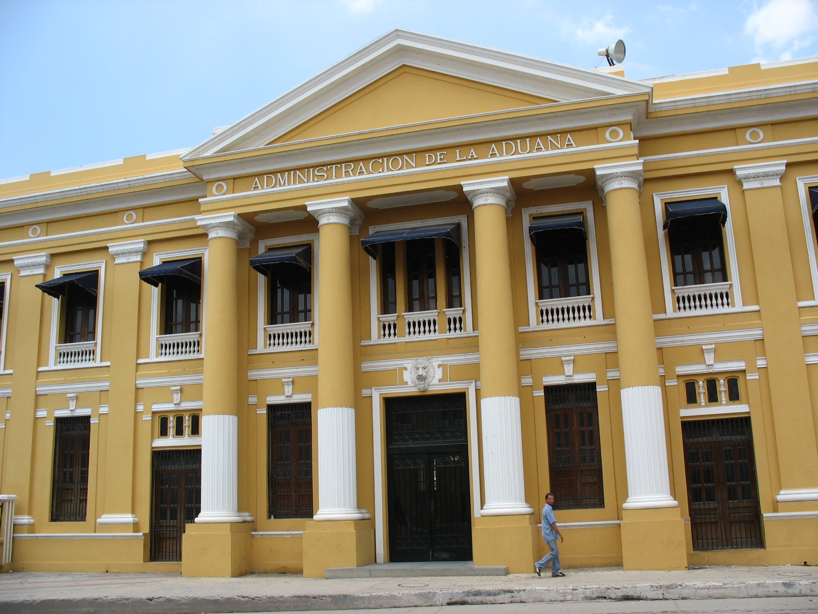
Barranquilla () is the capital district of Atlántico Department in Colombia. It is located near the Caribbean Sea and is the largest city and third port in the Caribbean Coast region; as of 2018 it had a population of 1,206,319, making it Colombia's fourth-most populous city after Bogotá, Medellín, and Cali. Barranquilla lies strategically next to the delta of the Magdalena River, (originally before rapid urban growth) from its mouth at the Caribbean Sea, serving as a port for river and maritime transportation within Colombia. It is also the main economic center of Atlántico department in Colombia. The city is the core of the Metropolitan Area of Barranquilla, with a population of over 2 million, which also includes the municipalities of Soledad, Galapa, Malambo, and Puerto Colombia. Barranquilla was legally established as a town on April 7, 1813, although it dates from at least 1629. It grew into an important port, serving as a haven for immigrants from Europe, espe ... [...More Info...] [...Related Items...] OR: [Wikipedia] [Google] [Baidu] |
East Hampton (village), New York
The Village of East Hampton is a village in Suffolk County, New York. It is located in the town of East Hampton on the South Fork of eastern Long Island. The population was 1,083 at the time of the 2010 census, 251 less than in the year 2000. It is a center of the summer resort and upscale locality at the East End of Long Island known as The Hamptons and is generally considered one of the area's two most prestigious communities. History 17th century The village of Easthampton was founded in 1648 by Puritan farmers who worshiped as Presbyterians. The community was based on farming, with some fishing and whaling. Whales that washed up on the beach were butchered, and whales were hunted offshore with rowboats sometimes manned by Montauk Indians. The lack of a good harbor in East Hampton, however, resulted in Sag Harbor becoming a whaling center which sent ships to the Pacific. The land had been purchased in 1648 by the governors of Connecticut Colony and New Haven Colony ... [...More Info...] [...Related Items...] OR: [Wikipedia] [Google] [Baidu] |
Balleny Islands
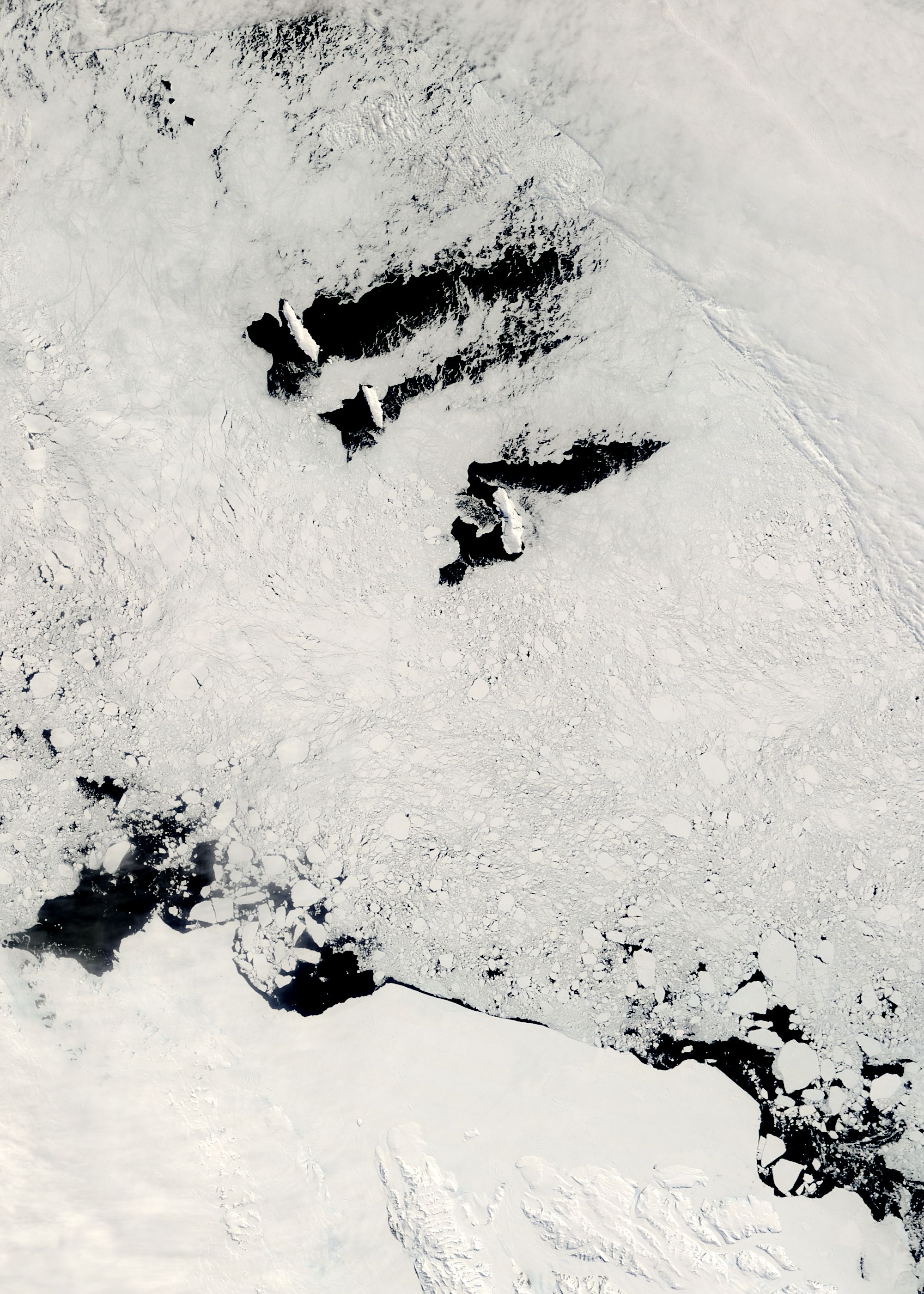
The Balleny Islands () are a series of uninhabited islands in the Southern Ocean extending from 66°15' to 67°35'S and 162°30' to 165°00'E. The group extends for about in a northwest-southeast direction. The islands are heavily glaciated and of volcanic origin. Glaciers project from their slopes into the sea. The islands were formed by the so-called Balleny hotspot. The group includes three main islands: Young, Buckle and Sturge, which lie in a line from northwest to southeast, and several smaller islets and rocks: *northeast of Young Island: Seal Rocks, Pillar *southeast of Young Island: Row Island, Borradaile Island (with Swan Base shelter hut) *south of Buckle Island: Scott Cone, Chinstrap Islet, Sabrina Islet (with Sabrina Refuge shelter hut), and the Monolith The islands are claimed by New Zealand as part of the Ross Dependency (see Territorial claims in Antarctica). Islands and rocks from north to south The islands' area totals and the highest point has been ... [...More Info...] [...Related Items...] OR: [Wikipedia] [Google] [Baidu] |
Victoria Land
Victoria Land is a region in eastern Antarctica which fronts the western side of the Ross Sea and the Ross Ice Shelf, extending southward from about 70°30'S to 78°00'S, and westward from the Ross Sea to the edge of the Antarctic Plateau. It was discovered by Captain James Clark Ross in January 1841 and named after Queen Victoria. The rocky promontory of Minna Bluff is often regarded as the southernmost point of Victoria Land, and separates the Scott Coast to the north from the Hillary Coast of the Ross Dependency to the south. The region includes ranges of the Transantarctic Mountains and the McMurdo Dry Valleys (the highest point being Mount Abbott in the Northern Foothills), and the flatlands known as the Labyrinth. The Mount Melbourne is an active volcano in Victoria Land. Early explorers of Victoria Land include James Clark Ross and Douglas Mawson. In 1979, scientists discovered a group of 309 meteorites in Antarctica, some of which were found near the Allan Hills in ... [...More Info...] [...Related Items...] OR: [Wikipedia] [Google] [Baidu] |
Oates Coast
Oates Coast () is that portion of the coast of Antarctica between Cape Hudson and Cape Williams. It forms the coast of Oates Land, part of the Australian claim to the Antarctic. The eastern portion of this coast was discovered in February 1911 by Lieutenant Harry Pennell, Royal Navy, commander of the expedition ship '' Terra Nova'' during the British Antarctic Expedition, 1910–13. He named the coast after Captain Lawrence E.G. Oates who, with Captain Robert F. Scott and three British Antarctic Expedition companions, perished on the return journey from the South Pole in 1912. Captain Oates' death was described by Robert Falcon Scott as "the act of a brave man and English gentleman". The western portion of the coast, the vicinity of the Mawson Peninsula Mawson Peninsula () is a high (), narrow, ice-covered peninsula on the George V Coast, on the west side of the Slava Ice Shelf, Antarctica, terminating in Cape Hudson. It extends for over in a northwesterly direction. The pe ... [...More Info...] [...Related Items...] OR: [Wikipedia] [Google] [Baidu] |
Ross Sea
The Ross Sea is a deep bay of the Southern Ocean in Antarctica, between Victoria Land and Marie Byrd Land and within the Ross Embayment, and is the southernmost sea on Earth. It derives its name from the British explorer James Clark Ross who visited this area in 1841. To the west of the sea lies Ross Island and Victoria Land, to the east Roosevelt Island and Edward VII Peninsula in Marie Byrd Land, while the southernmost part is covered by the Ross Ice Shelf, and is about from the South Pole. Its boundaries and area have been defined by the New Zealand National Institute of Water and Atmospheric Research as having an area of . The circulation of the Ross Sea is dominated by a wind-driven ocean gyre and the flow is strongly influenced by three submarine ridges that run from southwest to northeast. The circumpolar deep water current is a relatively warm, salty and nutrient-rich water mass that flows onto the continental shelf at certain locations. The Ross Sea is covered with ice ... [...More Info...] [...Related Items...] OR: [Wikipedia] [Google] [Baidu] |
Baleen
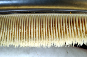
Baleen is a filter-feeding system inside the mouths of baleen whales. To use baleen, the whale first opens its mouth underwater to take in water. The whale then pushes the water out, and animals such as krill are filtered by the baleen and remain as a food source for the whale. Baleen is similar to bristles and consists of keratin, the same substance found in human fingernails, skin and hair. Baleen is a skin derivative. Some whales, such as the bowhead whale, have longer baleen than others. Other whales, such as the gray whale, only use one side of their baleen. These baleen bristles are arranged in plates across the upper jaw of whales. Depending on the species, a baleen plate can be long, and weigh up to . Its hairy fringes are called baleen hair or whalebone hair. They are also called baleen bristles, which in sei whales are highly calcified, with calcification functioning to increase their stiffness. Baleen plates are broader at the gumline (base). The plates have b ... [...More Info...] [...Related Items...] OR: [Wikipedia] [Google] [Baidu] |
USS Levant (1837)
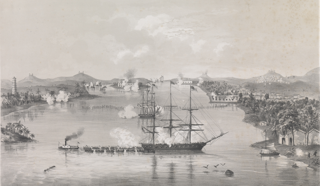
The first USS ''Levant'' was a second-class sloop-of-war in the United States Navy. ''Levant'' was launched on 28 December 1837 by New York Navy Yard; and commissioned on 17 March 1838, with Commander Hiram Paulding in command. Service history West Indies and Pacific, 1838–1845 ''Levant'' sailed from New York on 1 April 1838 for four years' service in the West Indies Squadron protecting American interests in the Caribbean and South Atlantic. Returning to Norfolk, Virginia, the sloop-of-war decommissioned 26 June 1842. She recommissioned 27 March 1843, Comdr. Hugh N. Page in command, and departed Norfolk to join the Pacific Squadron under Commodore John D. Sloat. From 1843 to 1845 ''Levant'' cruised between Panama and Latin American ports carrying diplomats and dispatches and generally furthering American national policy. Mexican–American War, 1846–47 With the Mexican–American War impending, ''Levant'' was ordered to the California coast to protect American citizens a ... [...More Info...] [...Related Items...] OR: [Wikipedia] [Google] [Baidu] |
Matthew C
{{disambiguation ...
Matthew may refer to: * Matthew (given name) * Matthew (surname) * ''Matthew'' (ship), the replica of the ship sailed by John Cabot in 1497 * ''Matthew'' (album), a 2000 album by rapper Kool Keith * Matthew (elm cultivar), a cultivar of the Chinese Elm ''Ulmus parvifolia'' Christianity * Matthew the Apostle, one of the apostles of Jesus * Gospel of Matthew, a book of the Bible See also * Matt (given name), the diminutive form of Matthew * Mathew, alternative spelling of Matthew * Matthews (other) * Matthew effect * Tropical Storm Matthew (other) The name Matthew was used for three tropical cyclones in the Atlantic Ocean, replacing Mitch after 1998. * Tropical Storm Matthew (2004) - Brought heavy rain to the Gulf Coast of Louisiana, causing light damage but no deaths. * Tropical Storm Matt ... [...More Info...] [...Related Items...] OR: [Wikipedia] [Google] [Baidu] |
New Bedford Whaling Museum
The New Bedford Whaling Museum is a museum in New Bedford, Massachusetts, United States that focuses on the history, science, art, and culture of the international whaling industry, and the "Old Dartmouth" region (now the city of New Bedford and towns of Acushnet, Dartmouth, Fairhaven, and Westport) in the South Coast of Massachusetts. The museum is governed by the Old Dartmouth Historical Society (ODHS), which was established in 1903 "to create and foster an interest in the history of Old Dartmouth." Since then, the museum has expanded its scope to include programming that addresses global issues "including the consequences of natural resource exhaustion, the diversification of industry, and tolerance in a multicultural society." Its collections include over 750,000 items, including 3,000 pieces of scrimshaw and 2,500 logbooks from whaling ships, both of which are the largest collections in the world, as well as five complete whale skeletons. The museum's complex consists of ... [...More Info...] [...Related Items...] OR: [Wikipedia] [Google] [Baidu] |


.jpg)


