|
Medawachchiya
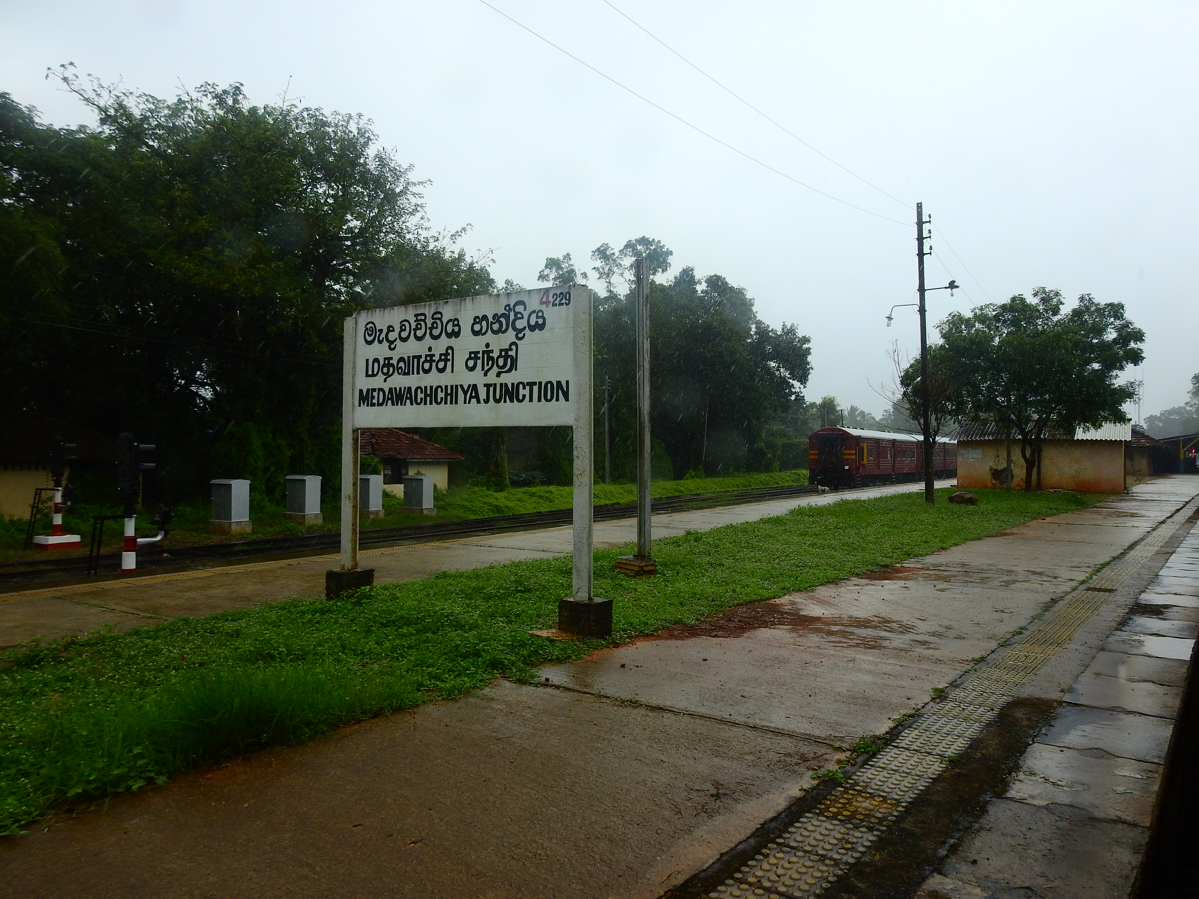
Medawachchiya is a town in the Anuradhapura District, North Central Province of Sri Lanka. Situated 27 km from Anuradhapura, on the '' A9'' Jaffna - Kandy main road, it is 229 km from Colombo. Medawachchiya is also the point from which the ''A14'' main road to Mannar and Talaimannar starts. Medawachchiya is a significant railway junction on Sri Lanka Railways' northern network. Medawachchiya is the junction between the Northern Line and the Mannar Line. History The railway track on the Mannar Line was abandoned during the civil war due to terrorist activities of the Tamil Tigers which was active in the area from 1983 till May 2009 when the area was completely liberated by the Sri Lanka Army. Northern Line rail track around Medawachchiya survived the war, but were also destroyed further north. Following the end of the conflict, reconstruction of the lost railway network had begun. Local administration Home to a Divisional Secretary of the government and many ot ... [...More Info...] [...Related Items...] OR: [Wikipedia] [Google] [Baidu] |
Medawachchiya Junction Railway Station - Sri Lanka
Medawachchiya is a town in the Anuradhapura District, North Central Province, Sri Lanka, North Central Province of Sri Lanka. Situated 27 km from Anuradhapura, on the ''A9 highway (Sri Lanka), A9'' Jaffna - Kandy main road, it is 229 km from Colombo. Medawachchiya is also the point from which the ''A14'' main road to Mannar, Sri Lanka, Mannar and Talaimannar starts. Medawachchiya is a significant railway junction on Sri Lanka Railways' northern network. Medawachchiya is the junction between the Northern Line and the Mannar Line. History The railway track on the Mannar Line was abandoned during the civil war due to terrorist activities of the Tamil Tigers which was active in the area from 1983 till May 2009 when the area was completely liberated by the Sri Lanka Army. Northern Line rail track around Medawachchiya survived the war, but were also destroyed further north. Following the end of the conflict, reconstruction of the lost railway network had begun. Local admi ... [...More Info...] [...Related Items...] OR: [Wikipedia] [Google] [Baidu] |
Mannar Line
The Mannar line is a railway line in Sri Lanka. Branching off the northern line at Medawachchiya Junction, the line heads north-west through North Central and Northern provinces before terminating at the town of Talaimannar. The line is long and has 11 stations. The line opened in 1914. History International goal The Mannar line was built as part of a plan to create a rail link between Sri Lanka and India. A 22-mile bridge to link the two countries had been proposed as early as 1894, by the Consultant Engineer for railways in Madras (Chennai). The proposal was given serious consideration and a technical blueprint and cost analysis was conducted. By 1914, the Mannar line was built to connect Talaimannar on Mannar Island to the Sri Lankan mainland. On the Indian side, the Indian railway network was extended to Dhanushkodi. The international bridge to link the two was not built.http://infolanka.asia/sri-lanka/transport/the-indo-lanka-land-bridge-reviving-the-proposal The ... [...More Info...] [...Related Items...] OR: [Wikipedia] [Google] [Baidu] |
Anuradhapura District
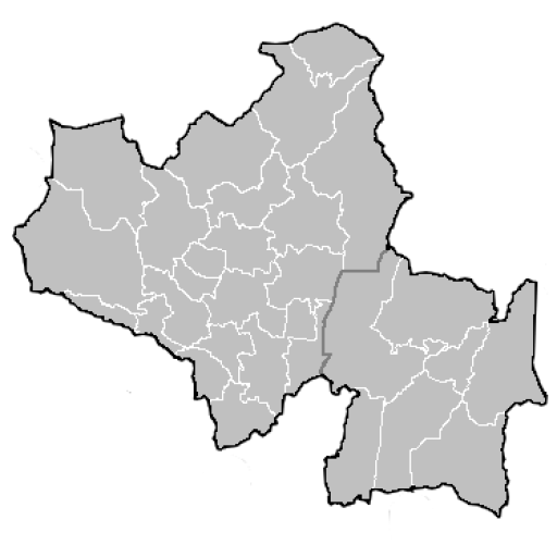
Anuradhapura ( si, අනුරාධපුර දිස්ත්රික්කය ''anūrādhapūra distrikkaya''; ta, அனுராதபுரம் மாவட்டம் ''Aṉurātapuram māvaṭṭam'') is a district in North Central Province, Sri Lanka. Its area is 7,179 km². Major cities * Anuradhapura (Municipal Council) Other towns * Bulnewa * Eppawala * Galenbindunuwewa * Galnewa * Ganewalpola * Habarana * Horowupotana * Kahatagasdigiliya * Kebitigollawa * Kekirawa * Konapathirawa * Konwewa * Madatugama * Mahailuppallama * Maradankadawala * Medawachchiya * Mihintale * Nochchiyagama * Padawiya * Palugaswewa * Rambewa * Seeppukulama * Talawa * Tambuttegama * Thirappane * Yakalla Anuradhapura district election divisions * Anuradhapura East Electoral District * Anuradhapura West Electoral District * Horowpothana Electoral District * Kalawewa Electoral District * Kekirawa Electoral District * Medawachchiya Electoral District * Mihintale Electoral Di ... [...More Info...] [...Related Items...] OR: [Wikipedia] [Google] [Baidu] |
North Central Province, Sri Lanka
North Central Province ( si, උතුරු මැද පළාත ''Uturumæda Paḷāta'', ta, வட மத்திய மாகாணம் ''Wada Maththiya Mākāṇam'') is one of the nine provinces of Sri Lanka, the first level administrative division of the country. The provinces have existed since the 19th century but did not have any legal status until 1987 when the 13th Amendment to the Constitution of Sri Lanka established provincial councils. The province is the largest by size, and second least populated in the country. The province consists of the districts of Anuradhapura and Polonnaruwa, both of which were important ancient Sri Lankan kingdoms. The climate is semi-arid, and the forests are dry evergreen forests. History The centralised system of Sri Lanka, which is a unitary state, failed to satisfy the aspirations of the people. There was growing insistence on decentralisation of administrative processes to achieve rapid economic and social development of t ... [...More Info...] [...Related Items...] OR: [Wikipedia] [Google] [Baidu] |
Divisional Secretary's Division
The districts of Sri Lanka are divided into administrative sub-units known as ''divisional secretariats''. These were originally based on the feudal counties, the ''korale''s and ''rata''s. They were formerly known as 'D.R.O. Divisions' after the 'Divisional Revenue Officer'. Later the D.R.O.s became 'Assistant Government Agents' and the Divisions were known as 'A.G.A. Divisions'. Currently, the Divisions are administered by a 'Divisional Secretary', and are known as 'D.S. Divisions'. The 331 divisions are listed below, by district: Divisional secretariats See also * Provinces of Sri Lanka * Districts of Sri Lanka In Sri Lanka, districts ( si, දිස්ත්රික්ක, ''Distrikka'', ta, மாவட்டம், ''Māvaṭṭam'') are the second-level administrative divisions, and are included in a province. There are 25 districts o ... References External links Divisional Secretariats Portal {{Sri Lanka topics Sri Lanka geography-rela ... [...More Info...] [...Related Items...] OR: [Wikipedia] [Google] [Baidu] |
Sri Lanka Railways
The Sri Lanka Railway Department (more commonly known as Sri Lanka Railways (SLR)) ( Sinhala: ශ්රී ලංකා දුම්රිය සේවය ''Śrī Laṃkā Dumriya Sēvaya''; Tamil: இலங்கை புகையிரத சேவை ''Ilankai Pugaiyiradha Sēvai'') is Sri Lanka's railway owner and primary operator. As part of the Sri Lankan government, it is overseen by the Ministry of Transport. Founded in 1858 as the Ceylon Government Railway, it operates the nation's railways and links Colombo (the capital) with other population centres and tourist destinations. The Sri Lankan rail network is of broad gauge. Some of its routes are scenic, with the main line passing (or crossing) waterfalls, mountains, tea estates, pine forests, bridges and peak stations. History Beginnings The construction of a railway in Ceylon was first raised in 1842 by European coffee planters seeking a line be constructed between Kandy and Colombo as a quicker more effic ... [...More Info...] [...Related Items...] OR: [Wikipedia] [Google] [Baidu] |
Railway Stations In Sri Lanka
List of railway stations in Sri Lanka, in alphabetical order, are as follows: A * Abanpola, North Western Province * Agbopura, Eastern Province * Ahangama, Southern Province * Ahungalle, Southern Province * Akurala, Southern Province * Alawwa, North Western Province * Alawathupitiya, * Aluthgama, Western Province * Ambalangoda, Southern Province * Ambepussa, Western Province * Ambewela, Central Province * Angulana, Western Province * Anuradhapura, New Town * Anuradhapura, North Central Province * Arachchikattuwa * Avissawella File:Hitachi Loco Class M5 -782 (5051181994).jpg, Aluthgama railway station in Aluthgama File:SL Anuradhapura asv2020-01 img27 Anuradhapura Railway Station.jpg, Anuradhapura railway station in Anuradhapura B * Badulla, Uva Province * Balapitiya, Southern Province * Babarenda, Southern Province * Bambalapitiya, Western Province * Bandarawela, Uva Province * Bangadeniya, North Western Province * Batticaloa, Eastern Province - termi ... [...More Info...] [...Related Items...] OR: [Wikipedia] [Google] [Baidu] |
A9 Highway (Sri Lanka)
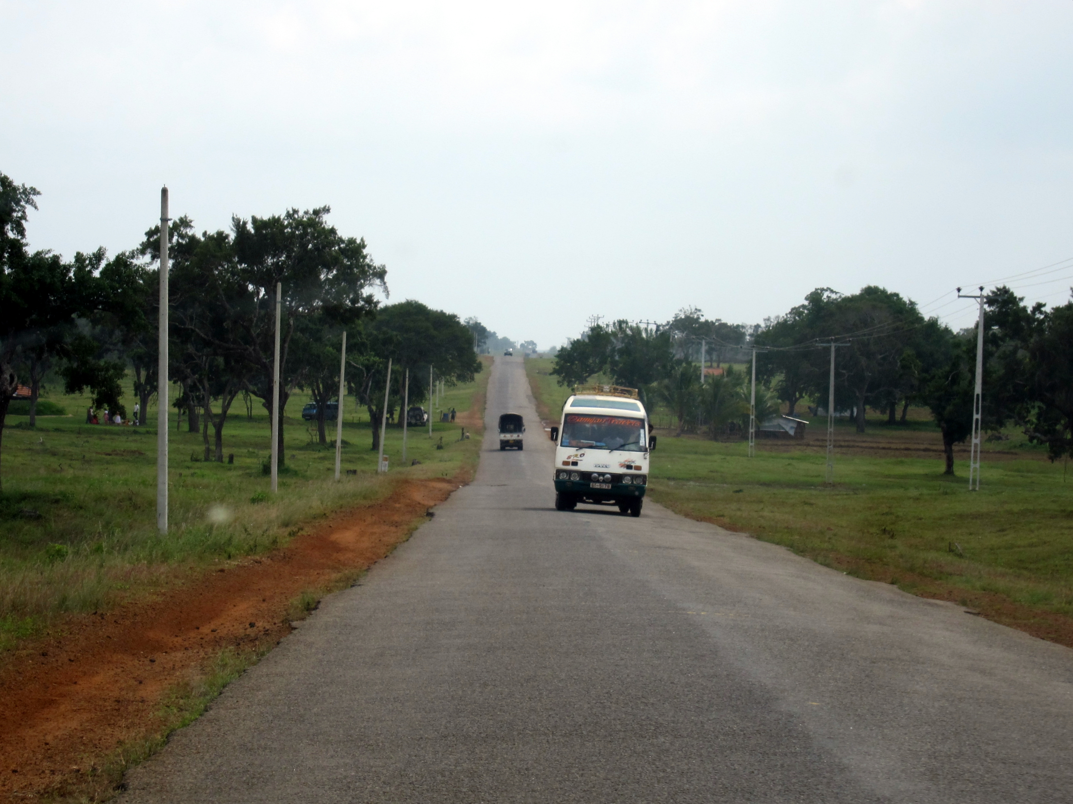
The A9 Highway is a highway in Sri Lanka, which connects the central city of Kandy with Jaffna, a city on the northern tip of the island. Route The A9 highway north-bound begins at Kandy, in the central hills. The highway begins at the heart of the city, next to the Kandy Lake. Within Kandy, it meets the A1, A10, and A26 highways. It moves north through the hills to Matale. It passes Dombawela and Naula, before reaching Dambulla. At Dambulla, the A9 crosses the A6 highway. The A6 provides connection to Sigiriya, Habarana, and Trincomalee. Traffic between Jaffna and Colombo transfer between the A6 and A9 highways at this point. The A9 passes Kekirawa and Maradankadawala, before reaching the Anuradhapura-area. The A13 highway at Galkulama and the A20 highway provide access to Anuradhapura. The A9 meets the A12 highway at Mihintale. The town of Medawachchiya provides connection to Mannar and the historic ferry to India, via the A14 highway. Passing Iratperiyakulam, ... [...More Info...] [...Related Items...] OR: [Wikipedia] [Google] [Baidu] |
Talaimannar
Talaimannar ( ta, தலைமன்னார்; si, තලෙයිමන්නාරම) is a settlement in Sri Lanka located on the northwestern coast of Mannar Island. Transport Sri Lanka's northern railway line was destroyed, disrupted or neglected during the 30-year Sri Lankan civil war, which ended in May 2009. The Mannar railway line, rebuilt by an Indian company, was reopened by Indian Prime Minister Narendra Modi in 2015. The pier is served by a station of the Sri Lanka Railways with railway terminus at Talaimannar which connects Talaimannar to rail network in Sri Lanka via Medawachchiya. The town can be reached by a road from Mannar which links the island to the rest of highway network in Sri Lanka through a causeway. Development Being a windy location, Talaimannar is a kitesurf and kiteboard destination. The government proposed a wind farm but was opposed by the local community as the area is a bird sanctuary. See also *Kachchatheevu *Palk Strait bridge *Ra ... [...More Info...] [...Related Items...] OR: [Wikipedia] [Google] [Baidu] |
Madhu, Sri Lanka
Madhu ( ta, மடு, si, ගිලෙන්න) is a town in Mannar District, Sri Lanka. The Shrine of Our Lady of Madhu, a major site of Roman Catholic pilgrimage, is located in this town. Infrastructure Madhu has a railway station ( Madhu Road station) on the Mannar Line, with services to Medawachchiya Medawachchiya is a town in the Anuradhapura District, North Central Province of Sri Lanka. Situated 27 km from Anuradhapura, on the '' A9'' Jaffna - Kandy main road, it is 229 km from Colombo. Medawachchiya is also the point from which .... {{NorthernLK-geo-stub Towns in Mannar District Madhu DS Division ... [...More Info...] [...Related Items...] OR: [Wikipedia] [Google] [Baidu] |
Kandy
Kandy ( si, මහනුවර ''Mahanuwara'', ; ta, கண்டி Kandy, ) is a major city in Sri Lanka located in the Central Province. It was the last capital of the ancient kings' era of Sri Lanka. The city lies in the midst of hills in the Kandy plateau, which crosses an area of tropical plantations, mainly tea. Kandy is both an administrative and religious city and is also the capital of the Central Province. Kandy is the home of the Temple of the Tooth Relic ('' Sri Dalada Maligawa''), one of the most sacred places of worship in the Buddhist world. It was declared a world heritage site by UNESCO in 1988. Historically the local Buddhist rulers resisted Portuguese, Dutch, and British colonial expansion and occupation. Etymology The city and the region have been known by many different names and versions of those names. Some scholars suggest that the original name of Kandy was Katubulu Nuwara located near the present Watapuluwa. However, the more popular historical ... [...More Info...] [...Related Items...] OR: [Wikipedia] [Google] [Baidu] |
Colombo
Colombo ( ; si, කොළඹ, translit=Koḷam̆ba, ; ta, கொழும்பு, translit=Koḻumpu, ) is the executive and judicial capital and largest city of Sri Lanka by population. According to the Brookings Institution, Colombo metropolitan area has a population of 5.6 million, and 752,993 in the Municipality. It is the financial centre of the island and a tourist destination. It is located on the west coast of the island and adjacent to the Greater Colombo area which includes Sri Jayawardenepura Kotte, the legislative capital of Sri Lanka, and Dehiwala-Mount Lavinia. Colombo is often referred to as the capital since Sri Jayawardenepura Kotte is itself within the urban/suburban area of Colombo. It is also the administrative capital of the Western Province and the district capital of Colombo District. Colombo is a busy and vibrant city with a mixture of modern life, colonial buildings and monuments. Due to its large harbour and its strategic position along th ... [...More Info...] [...Related Items...] OR: [Wikipedia] [Google] [Baidu] |


.jpg)

