|
Massachusetts Route 78
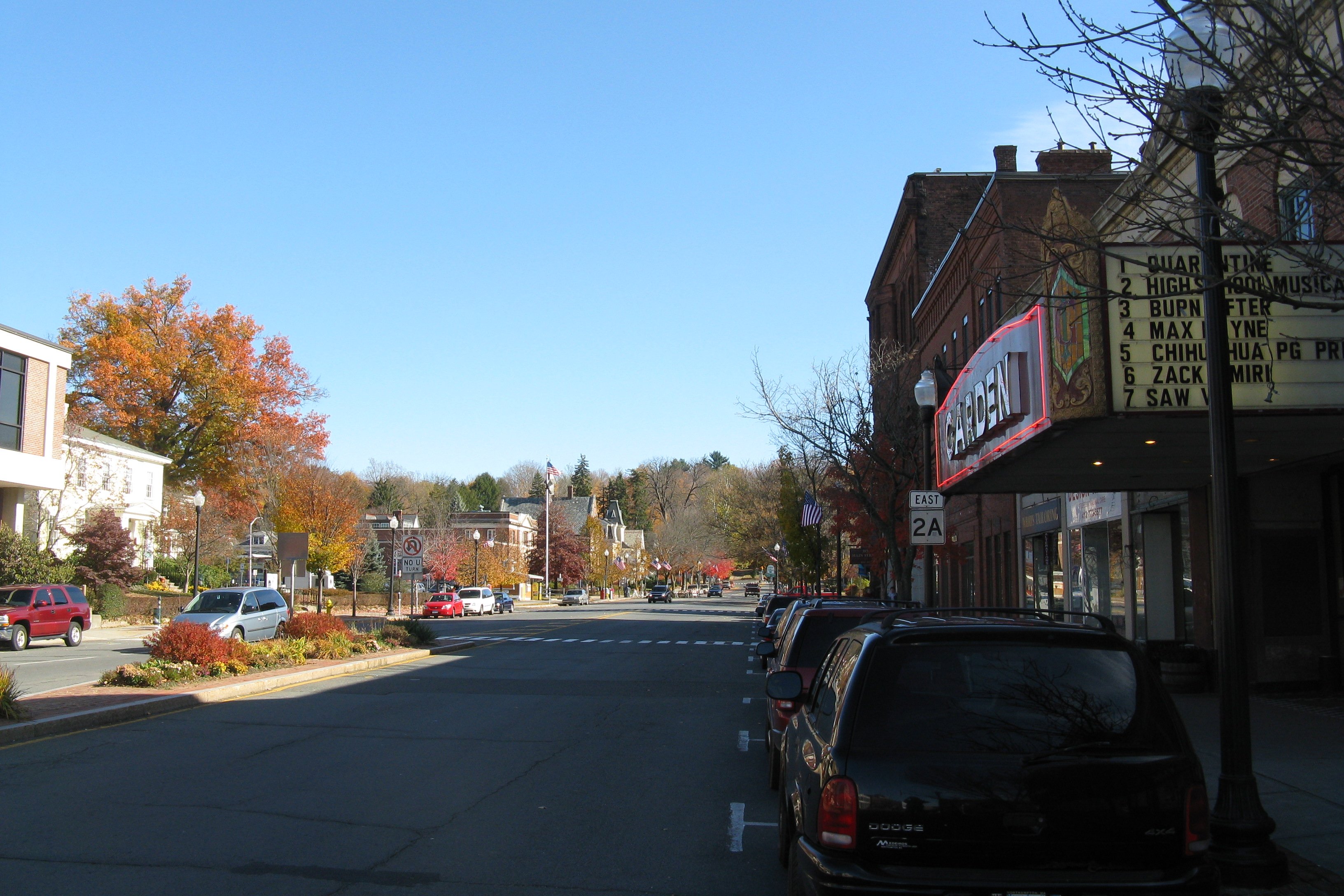
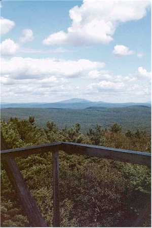
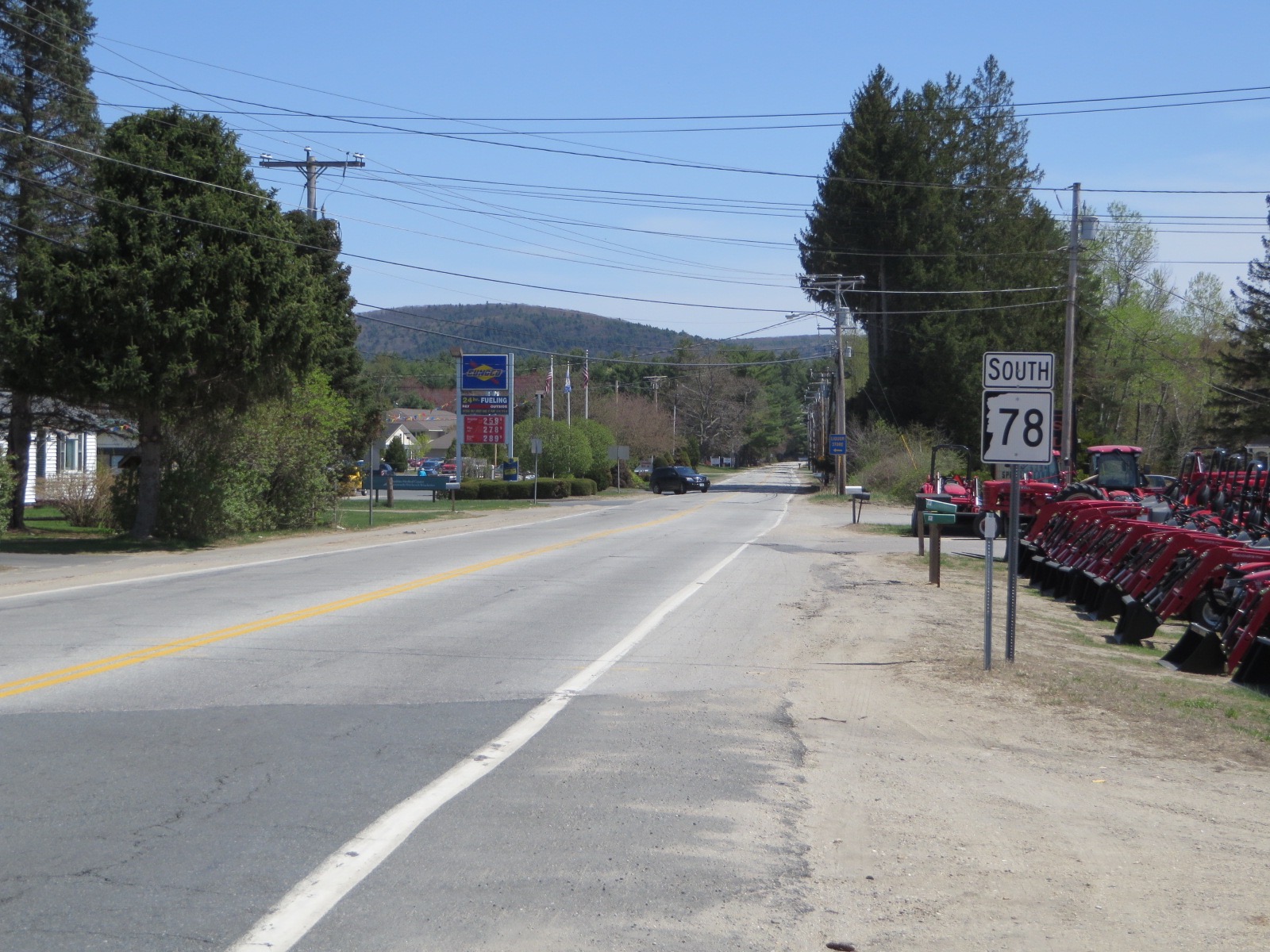
Route 78 is a state highway in the U.S. state of Massachusetts. The highway runs from Route 2A in Orange north to the New Hampshire state line in Warwick in northeastern Franklin County where it continues as New Hampshire Route 78. Route description Route 78 begins at Route 2A (Orange Road) in the town of Orange just north of the Springfield Terminal railroad tracks and the Millers River. The two-lane highway heads north as Warwick Road into the town of the same name, where its name changes to Orange Road. Route 78 passes Wheelers Pond on its way to the town center of Warwick, where its name changes to Winchester Road. The highway passes through Mount Grace State Forest and by Mount Grace before reaching its northern terminus at the New Hampshire state line, where the highway continues as New Hampshire Route 78 into the town of Winchester Winchester is a City status in the United Kingdom, cathedral city in Hampshire, England. The city lies at the heart of the wider City ... [...More Info...] [...Related Items...] OR: [Wikipedia] [Google] [Baidu] |
Massachusetts Department Of Transportation
The Massachusetts Department of Transportation (MassDOT) oversees roads, public transit, aeronautics, and transportation licensing and registration in the US state of Massachusetts. It was created on November 1, 2009, by the 186th Session of the Massachusetts General Court upon enactment of the ''2009 Transportation Reform Act.'' History In 2009, Governor Deval Patrick proposed merging all Massachusetts transportation agencies into a single Department of Transportation. Legislation consolidating all of Massachusetts' transportation agencies into one organization was signed into law on June 26, 2009. The newly established Massachusetts Department of Transportation (MASSDOT) assumed operations from the existing conglomeration of state transportation agencies on November 1, 2009. This change included: * Creating the Highway Division from the former Massachusetts Turnpike Authority and Massachusetts Highway Department, MassHighways. * Assuming responsibility for the planning and ... [...More Info...] [...Related Items...] OR: [Wikipedia] [Google] [Baidu] |
Orange, Massachusetts
Orange is a town in Franklin County, Massachusetts, United States. The population was 7,569 at the 2020 census. It is part of the Springfield, Massachusetts Metropolitan Statistical Area. Part of the town is included in the census-designated place of Orange. History Orange was first settled by Europeans in 1746, created from lands in the towns of Royalston, Warwick and Athol. The lands were not fully settled until the latter parts of the century, becoming the District of Orange in 1783, and finally being incorporated as a town in 1810. It was named for William, Prince of Orange. In 1790, the Millers River was dammed within town, and industry began in the former farming community. Small industry grew within the town, with the town being considered more of a mill town by 1840. By the late nineteenth century the New Home Sewing Machine Company was the largest industry in town, putting out 1.2 million machines at its peak in 1892. In 1900, it was home to the pioneer automobil ... [...More Info...] [...Related Items...] OR: [Wikipedia] [Google] [Baidu] |
Winchester, New Hampshire
Winchester is a town in Cheshire County, New Hampshire, United States. The population was 4,150 at the 2020 census. The primary community in the town, where 1,606 people resided at the 2020 census, is defined by the U.S. Census Bureau as the Winchester census-designated place (CDP). The town also includes the village of Ashuelot and part of Pisgah State Park. History Originally named "Arlington" in honor of Charles Fitzroy, Earl of Arlington, this town was one of those established in 1733 by colonial Governor Jonathan Belcher as protection for the Massachusetts Bay Colony border at the Connecticut River. This was in the area encompassed in the relatively newly acquired Equivalent Lands. After being designated a part of the Province of New Hampshire in 1741, the town was granted to Colonel Josiah Willard, commander of the Fort Dummer outpost. In 1753, it was incorporated by Governor Benning Wentworth as "Winchester", for Charles Paulet, 3rd Duke of Bolton, 8th Marquess of Winc ... [...More Info...] [...Related Items...] OR: [Wikipedia] [Google] [Baidu] |
Franklin County, Massachusetts
Franklin County is a nongovernmental county located in the northwestern part of the U.S. state of Massachusetts. As of the 2020 census, the population was 71,029, which makes it the least-populous county on the Massachusetts mainland, and the third-least populous county in the state. Its traditional county seat and most populous city is Greenfield. Its largest town by area is New Salem. Franklin County comprises the Greenfield Town, MA Micropolitan Statistical Area, which is included in the Springfield-Greenfield Town, MA Combined Statistical Area. History Franklin County was created on June 24, 1811, from the northern third of Hampshire County. It was named for Benjamin Franklin. Franklin County's government was abolished by the state government in 1997, at the county's request. Law and government Like several other Massachusetts counties, Franklin County exists today only as a geographic region and has no county government. The Franklin County Commission voted itself out ... [...More Info...] [...Related Items...] OR: [Wikipedia] [Google] [Baidu] |
State Highway
A state highway, state road, or state route (and the equivalent provincial highway, provincial road, or provincial route) is usually a road that is either ''numbered'' or ''maintained'' by a sub-national state or province. A road numbered by a state or province falls below numbered national highways (Canada being a notable exception to this rule) in the hierarchy (route numbers are used to aid navigation, and may or may not indicate ownership or maintenance). Roads maintained by a state or province include both nationally numbered highways and un-numbered state highways. Depending on the state, "state highway" may be used for one meaning and "state road" or "state route" for the other. In some countries such as New Zealand, the word "state" is used in its sense of a sovereign state or country. By this meaning a state highway is a road maintained and numbered by the national government rather than local authorities. Countries Australia Australia's State Route system covers u ... [...More Info...] [...Related Items...] OR: [Wikipedia] [Google] [Baidu] |
Massachusetts
Massachusetts (Massachusett language, Massachusett: ''Muhsachuweesut [Massachusett writing systems, məhswatʃəwiːsət],'' English: , ), officially the Commonwealth of Massachusetts, is the most populous U.S. state, state in the New England region of the Northeastern United States. It borders on the Atlantic Ocean and Gulf of Maine to the east, Connecticut and Rhode Island to the south, New Hampshire and Vermont to the north, and New York (state), New York to the west. The state's capital and List of municipalities in Massachusetts, most populous city, as well as its cultural and financial center, is Boston. Massachusetts is also home to the urban area, urban core of Greater Boston, the largest metropolitan area in New England and a region profoundly influential upon American History of the United States, history, academia, and the Economy of the United States, research economy. Originally dependent on agriculture, fishing, and trade. Massachusetts was transformed into a manuf ... [...More Info...] [...Related Items...] OR: [Wikipedia] [Google] [Baidu] |
Massachusetts Route 2A
Route 2A is a east–west state highway in Massachusetts. It exists in several sections of Massachusetts, mainly as parts of former Route 2 that have been moved or upgraded. Route 2A runs from Greenfield in the west to Boston in the east. It formerly extended to Shelburne Falls in Buckland in the west, but as of 2007, the route terminates at Interstate 91 (I-91) in Greenfield. Route description Route 2A begins at the rotary intersection with Route 2 at I-91 in Greenfield. It passes through downtown Greenfield before reconnecting to its parent route just west of the Greenfield-Gill town line. After a silent concurrency, Route 2A leaves Route 2 once more, passing through Orange and Athol. In Athol it passes the former northern terminus of Route 21, which was truncated to Belchertown after the creation of the Quabbin Reservoir. From Phillipston through Westminster, Route 2A weaves around its parent route, crossing it a total o ... [...More Info...] [...Related Items...] OR: [Wikipedia] [Google] [Baidu] |
New Hampshire
New Hampshire is a U.S. state, state in the New England region of the northeastern United States. It is bordered by Massachusetts to the south, Vermont to the west, Maine and the Gulf of Maine to the east, and the Canadian province of Quebec to the north. Of the 50 U.S. states, New Hampshire is the List of U.S. states and territories by area, fifth smallest by area and the List of U.S. states and territories by population, tenth least populous, with slightly more than 1.3 million residents. Concord, New Hampshire, Concord is the state capital, while Manchester, New Hampshire, Manchester is the largest city. New Hampshire's List of U.S. state mottos, motto, "Live Free or Die", reflects its role in the American Revolutionary War; its state nickname, nickname, "The Granite State", refers to its extensive granite formations and quarries. It is well known nationwide for holding New Hampshire primary, the first primary (after the Iowa caucus) in the United States presidential election ... [...More Info...] [...Related Items...] OR: [Wikipedia] [Google] [Baidu] |
Warwick, Massachusetts
Warwick is a town in Franklin County, Massachusetts, United States. The population was 780 at the 2020 census. It is part of the Springfield, Massachusetts Metropolitan Statistical Area. History Warwick was first settled in 1739 and was officially incorporated in 1763. The land that became Warwick was one of four tracts of land established by Massachusetts in 1735 to compensate the descendants of the officers and soldiers who served during the "expedition to Canada" and the Battle of Quebec in 1690. The area was initially called Gardner's Canada and original proprietors were named in 1736. A 1737 owners list names the initial land owners, few of whom appear to have remained to settle the town once it was incorporated in 1763. It took another 25 years to attract sufficient numbers of settlers to support a town and its minister. In 1760, such numbers were reached and the town hired a young Reverend Lemuel Hedge. The town was formed officially, as Warwick, on February 17, 1763 ... [...More Info...] [...Related Items...] OR: [Wikipedia] [Google] [Baidu] |
New Hampshire Route 78
New Hampshire Route 78 (abbreviated NH 78) is a secondary state highway in Cheshire County, New Hampshire, United States. A northward extension of Massachusetts Route 78, NH 78 runs entirely within the town of Winchester from the state border to downtown, where it ends at New Hampshire Route 10 and New Hampshire Route 119. Route description NH 78 begins at the Massachusetts–New Hampshire state border where it meets the northern end of Massachusetts Route 78. The short highway runs for just under 3.5 miles northwest to downtown Winchester, where it ends at its intersection with NH 10 and NH 119. There are no major intersections between its endpoints. Junction list References External links New Hampshire State Route 78on Flickr Flickr ( ; ) is an American image hosting and video hosting service, as well as an online community, founded in Canada and headquartered in the United States. It was created by Ludicorp in 2004 and was a popular way for amateur and pr ... [...More Info...] [...Related Items...] OR: [Wikipedia] [Google] [Baidu] |
Millers River
The Millers River is a U.S. Geological Survey. National Hydrography Dataset high-resolution flowline dataThe National Map, accessed April 1, 2011 river in northern Massachusetts, originating in Ashburnham and joining the Connecticut River just downstream from Millers Falls, Massachusetts. Sections of the river are used for whitewater kayaking, and a section upriver is popular with flatwater racers (canoe racing), and the river is known locally as a good place for pike fishing. Native names The river was formerly known as ''Papacontuckquash'', a Nipmuc word meaning "split banks river", from ''papahe'' ("split"), ''akun'' ("bank"), ''tekw'' ("river"), and ''esh'', a plural marker. ''Papacontuckquash'' is cited as the name for the Miller's River, signed and witnessed by the Native leaders on the "Indian Land Deeds for Hampshire County, Later Including Franklin . . . ", where it is also noted that this name is given on "an ancient map" in the collections of Williams College. Addit ... [...More Info...] [...Related Items...] OR: [Wikipedia] [Google] [Baidu] |

.jpg)


