|
Mason Henry Gang
The Mason Henry Gang were bandits operating in Central and Southern California in 1864–1865. As the Civil War was in progress, they were able to pose as Confederate Partisan Rangers, and their original mission was to rid the area of (anti-slavery) Republicans. But when it became clear that the Confederate cause was lost, they turned to outlawry, plundering and killing without mercy. The two leaders were John Mason, an alleged murderer, and Tom McCauley, a California Gold Rush criminal using the alias Jim Henry. The gang may have numbered up to sixteen at its peak. McCauley was shot dead in September 1865 by the San Bernardino County Sheriff Benjamin Franklin Mathews's posse, and Mason killed in April 1866 by a miner, Ben Mayfield, whom he had tried to kidnap. Mason and Henry as Partisan Rangers In early 1864, a dedicated southern sympathizer from Maryland, secessionist Judge George Gordon Belt, a rancher and former alcalde in Stockton, used his ranch on the Merced River ... [...More Info...] [...Related Items...] OR: [Wikipedia] [Google] [Baidu] |
Stockton, California
Stockton is a city in and the county seat of San Joaquin County, California, San Joaquin County in the Central Valley (California), Central Valley of the U.S. state of California. Stockton was founded by Carlos Maria Weber in 1849 after he acquired Rancho Campo de los Franceses. The city is named after Robert F. Stockton, and it was the first community in California to have a name not of Spanish or Native American origin. The city is located on the San Joaquin River in the northern San Joaquin Valley. Stockton is the List of largest California cities by population, 11th largest city in California and the List of United States cities by population, 58th largest city in the United States. It was named an All-America City Award, All-America City in 1999, 2004, and 2015 and again in 2017. Built during the California Gold Rush, Stockton's seaport serves as a gateway to the Central Valley and beyond. It provided easy access for trade and transportation to the southern gold mines. The Un ... [...More Info...] [...Related Items...] OR: [Wikipedia] [Google] [Baidu] |
Fresno River
The Fresno River (Spanish for "ash tree") is a river in Central California and a major tributary of the San Joaquin River. It runs approximately from the Sierra Nevada Range to the San Joaquin River if measured from the source of Rainier Creek, near Raymond Mountain in Yosemite National Park. Although called the 'Fresno' River, it is one of the largest and longest river systems in Madera County. Course Headwaters: The Fresno River forms in the Oakhurst valley, near the western border of city limits. The primary source of the Fresno River is Lewis Fork Creek, which gathers water far northeastward into the hills adjacent to Fish Camp. Lewis Fork Creek itself has a major tributary from Nelder Creek, coming from the lower-montane Nelder Grove area and Speckerman Mountain (7,600 ft). The other major tributary is China Creek, which acts as a drainage for the ridges around the Teaford Saddle. After Oakhurst, the Fresno River runs northwest until it reaches the end of the sloped v ... [...More Info...] [...Related Items...] OR: [Wikipedia] [Google] [Baidu] |
Visalia, California
Visalia ( ) is a city in the agricultural San Joaquin Valley of California. The population was 141,384 as per the 2020 census. Visalia is the fifth-largest city in the San Joaquin Valley, the 42nd most populous in California, and 192nd in the United States. As the county seat of Tulare County, Visalia serves as the economic and governmental center to one of the most productive agricultural counties in the country. Yosemite, Sequoia, and Kings Canyon National Parks are located in the nearby Sierra Nevada mountains, the highest mountain range within the contiguous United States. Visalia is west of Sequoia National Park, and south of Fresno. History The area around Visalia was first settled by the Yokuts and Mono Native American tribes hundreds of years ago. When the first Europeans arrived is unknown, but the first to make a written record of the area was Pedro Fages in 1722. When California achieved statehood in 1850, Tulare County did not exist. The land t ... [...More Info...] [...Related Items...] OR: [Wikipedia] [Google] [Baidu] |
Watsonville, California
Watsonville is a city in Santa Cruz County, California, located in the Monterey Bay Area of the Central Coast (California), Central Coast of California. The population was 52,590 according to the 2020 United States Census, 2020 census. Predominantly Latino and Democratic Party (United States), Democratic, Watsonville is a self-designated sanctuary city."Watsonville-Santa Cruz JACL Holds Candlelight Vigil in Observance of Feb. 19," ''Pacific Citizen'', March 10–23, 2017, p. 9. History Watsonville's land was first inhabited by an Ohlone nation of Indigenous Californians. This tribe settled along the Pajaro Dunes since the land was fertile and useful for the cultivation of their plants and animals. Spanish era In 1769, the Portolá expedition - first European explorers of the area - came to the area from the south, where soldiers described a big bird they saw near a large river. The story survived in the river's name, ''Rio del Pajaro'' (River of the Bird). The Portolá exped ... [...More Info...] [...Related Items...] OR: [Wikipedia] [Google] [Baidu] |
Corralitos, California
Corralitos (Spanish for "Small pens") is a census-designated place (CDP) in Santa Cruz County, California, United States. It is a rural area known for its agriculture of apples and strawberries, and its notable Corralitos Market and Sausage Co. Moreover, its location near the Pacific Ocean optimizes viticulture. The population was 2,326 at the 2010 census. Geography Corralitos is located at (36.991303, -121.802013). It is located on Corralitos Creek, a tributary of Salsipuedes Creek which is in turn the lowest tributary of the Pajaro River. According to the United States Census Bureau, the CDP has a total area of , of which, of it is land and 0.16% is water. Demographics 2010 The 2010 United States Census reported that Corralitos had a population of 2,326. The population density was . The racial makeup of Corralitos was 1,980 (85.1%) White, 16 (0.7%) African American, 12 (0.5%) Native American, 48 (2.1%) Asian, 190 (8.2%) from other races, and 79 (3.4%) from two or more r ... [...More Info...] [...Related Items...] OR: [Wikipedia] [Google] [Baidu] |
Santa Cruz County, California
Santa Cruz County (), officially the County of Santa Cruz, is a county on the Pacific coast of the U.S. state of California. As of the 2020 census, the population was 270,861. The county seat is Santa Cruz. Santa Cruz County comprises the Santa Cruz–Watsonville, CA Metropolitan Statistical Area, which is also included in the San Jose–San Francisco–Oakland, CA Combined Statistical Area. The county is on the California Central Coast, south of the San Francisco Bay Area region. The county forms the northern coast of the Monterey Bay, with Monterey County forming the southern coast. History Santa Cruz County was one of the original counties of California, created in 1850 at the time of statehood. In the original act, the county was given the name of "Branciforte" after the Spanish pueblo founded there in 1797. A major watercourse in the county, Branciforte Creek, still bears this name. Less than two months later, on April 5, 1850, the name was changed to "Santa Cruz" ("Holy ... [...More Info...] [...Related Items...] OR: [Wikipedia] [Google] [Baidu] |
Pacheco Pass
Pacheco Pass, elevation , is a low mountain pass located in the Diablo Range in southeastern Santa Clara County, California. It is the main route through the hills separating the Santa Clara Valley and the Central Valley (California), Central Valley. As with most passes in the California Coast Ranges, it is not very high when compared to those in other mountain areas within the state. The road that traverses Pacheco Pass is California State Route 152, State Route 152, which runs for between Highway 1 (California), SR 1 in Watsonville, California, Watsonville and California State Route 99, SR 99. Pacheco Pass Road, the western section between Gilroy and the pass itself (a distance of approximately 14 miles), is a two-lane highway from Gilroy to the junction with California State Route 156, SR 156 and a four-lane highway over the pass; it has been the site of many accidents. Names The pass was named for Don Francisco Pérez Pacheco, noted Californio ranchero and owner of the Ranc ... [...More Info...] [...Related Items...] OR: [Wikipedia] [Google] [Baidu] |
San Juan Bautista, California
San Juan Bautista (Spanish for "Saint John the Baptist") is a city in San Benito County, in the U.S. state of California. The population was 2,089 as of the 2020 census. San Juan Bautista was founded in 1797 by the Spanish under Fermín de Lasuén, with the establishment of Mission San Juan Bautista. Following the Mexican secularization of 1833, the town was briefly known as San Juan de Castro and eventually incorporated in 1896. Today, San Juan is a popular tourist destination, as the home of the San Juan Bautista State Historic Park and other important historic sites, as well as cultural institutions like El Teatro Campesino. History Prior to the arrival of Europeans, the area around San Juan Bautista was populated by the Mutsun, a tribe of the Ohlone Nation of Indigenous Californians. The Mutsunes lived in villages in the area around San Juan Bautista, in settlements composed of thatched huts made of willow and native grasses. Spanish period In 1797, the Spanish Franciscan ... [...More Info...] [...Related Items...] OR: [Wikipedia] [Google] [Baidu] |
Gilroy, California
Gilroy is a city in Northern California's Santa Clara County, south of Morgan Hill and north of San Benito County. Gilroy is the southernmost city in the San Francisco Bay Area, with a population of 56,766 as of the 2019 U.S. Census Projections. Gilroy's origins lie in the village of San Ysidro that grew in the early 19th century out of Rancho San Ysidro, granted to Californio ranchero Ygnacio Ortega in 1809. Following Ygnacio's death in 1833, his daughter Clara Ortega de Gilroy and son-in-law John Gilroy inherited the largest portion of the rancho and began developing the settlement. When the town was incorporated in 1868, it was renamed in honor of John Gilroy, a Scotsman who had emigrated to California in 1814, naturalized as a Mexican citizen, adopted the Spanish language, and converted to Catholicism, taking the name of Juan Bautista Gilroy. Gilroy is known for its garlic crop and the annual Gilroy Garlic Festival, featuring various garlicky foods such as garlic ice cream ... [...More Info...] [...Related Items...] OR: [Wikipedia] [Google] [Baidu] |
Abraham Lincoln
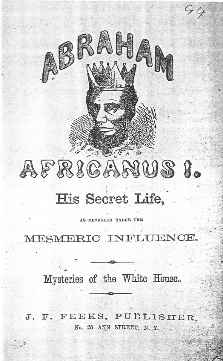
Abraham Lincoln ( ; February 12, 1809 – April 15, 1865) was an American lawyer, politician, and statesman who served as the 16th president of the United States from 1861 until his assassination in 1865. Lincoln led the nation through the American Civil War and succeeded in preserving the Union, abolishing slavery, bolstering the federal government, and modernizing the U.S. economy. Lincoln was born into poverty in a log cabin in Kentucky and was raised on the frontier, primarily in Indiana. He was self-educated and became a lawyer, Whig Party leader, Illinois state legislator, and U.S. Congressman from Illinois. In 1849, he returned to his successful law practice in central Illinois. In 1854, he was angered by the Kansas–Nebraska Act, which opened the territories to slavery, and he re-entered politics. He soon became a leader of the new Republican Party. He reached a national audience in the 1858 Senate campaign debates against Stephen A. Douglas. ... [...More Info...] [...Related Items...] OR: [Wikipedia] [Google] [Baidu] |
List Of African-American Republicans
The following is a list of African-American Republicans, past and present. This list is limited to black Americans who have worked in a direct, professional capacity in politics. A * David Abner (1826–1902), Republican State Representative from Texas, 1874–1875, vice-president of Republican State Convention 1876 * Dinah Abrahamson (1954–2013), author, Republican member of the Nebraska State Central Committee * Ali Alexander (born 1984 or 1986), Social media personality and activist, of African-American and Arab ancestry. * Archie Alexander (1888–1958), governor of the U.S. Virgin Islands * Walter G. Alexander (1880–1953), first African-American to serve in the New Jersey Legislature * Aris T. Allen (1910–1991), chair of the Maryland Republican Party * Claude Allen (born 1960), White House Domestic Policy Advisor * Ethel D. Allen (1929–1981), Secretary of the Commonwealth of Pennsylvania, first African-American elected to Philadelphia City Council * Richard ... [...More Info...] [...Related Items...] OR: [Wikipedia] [Google] [Baidu] |
Copperhead (politics)
In the 1860s, the Copperheads, also known as Peace Democrats, were a faction of Democrats in the Union who opposed the American Civil War and wanted an immediate peace settlement with the Confederates. Republicans started calling anti-war Democrats "Copperheads", after the eastern copperhead (''Agkistrodon contortrix''), a species of venomous snake. Those Democrats accepted the label, reinterpreting the copper "head" as the likeness of Liberty, which they cut from Liberty Head large cent coins and proudly wore as badges. By contrast, Democratic supporters of the war were called War Democrats. Notable Copperheads included two Democratic Congressmen from Ohio: Clement L. Vallandigham and Alexander Long. Republican prosecutors accused some prominent Copperheads of treason in a series of trials in 1864. Copperheadism was a highly contentious grassroots movement. It had its strongest base in the area just north of the Ohio River as well as in some urban ethnic wards. Historians ... [...More Info...] [...Related Items...] OR: [Wikipedia] [Google] [Baidu] |


.jpg)

.jpg)
.jpg)


