|
Mardella, Western Australia
Mardella is an outer suburb of Perth, Western Australia, lying approximately south-southeast of the central business district. It is located within the Shire of Serpentine-Jarrahdale, and at the 2011 census had a population of 303 people. Although falling within the Perth metropolitan area, Mardella is mostly rural in nature, with a significant proportion of the population engaged in farming. History Mardella is named after the Mardella Farm, which was established in the first few decades of European settlement. The names of both Mardella and the nearby Medulla Brook are derived from the same Aboriginal root word. Mardella has been used as a locality name since at least 1898, when a railway siding on the South Western Railway was opened under that name. However, it was only formally gazetted as a suburb in 1997. A community organisation erected a district hall in the 1950s, and at one stage Mardella supported a general store. Geography The Serpentine River flows through Marde ... [...More Info...] [...Related Items...] OR: [Wikipedia] [Google] [Baidu] |
Electoral District Of Darling Range
Darling Range is an electoral district of the Legislative Assembly in the Australian state of Western Australia. The district is based to the east and south-east of Perth. Geography Darling Range is situated in the outer east and south-east of Perth. It is a mixture of suburbia and hinterland, falling inside the Metropolitan Region Scheme and running along most of its southern and eastern boundary. The district covers all of the Shire of Serpentine-Jarrahdale as well as the less urbanised parts of the city of Armadale. History Darling Range was first created for the 1950 state election. The seat's first member was Country MP Ray Owen, who was previously the member for Swan. The district was abolished ahead of the 1974 state election. By this time its member was Liberal MP Ian Thompson, who went on to represent the new district of Kalamunda. Darling Range was recreated just one term later for the 1977 state election. The seat was radically redistributed ahead of the 2008 ... [...More Info...] [...Related Items...] OR: [Wikipedia] [Google] [Baidu] |
Shire Of Serpentine-Jarrahdale
The Shire of Serpentine-Jarrahdale is a local government area in the outer southeastern metropolitan area of Perth, the capital of Western Australia, and has an area of and a population of almost 27,000 as at the 2016 Census. The Shire's seat of government is the town of Mundijong. History The Serpentine-Jarrahdale Road District was established on 8 August 1913 with the amalgamation of the Serpentine Road District (1894) and Jarrahdale Road District (1902). On 1 July 1961, it became a Shire following the passage of the ''Local Government Act 1960'', which reformed all remaining road districts into shires. On 17 June 1977, it acquired Byford from Shire of Armadale–Kelmscott. Wards The Shire was previously split into four wards named: Byford, Central, North West and South. Recently, the boundaries were realigned and on 29 July 2011, the gazetted boundaries became: * North (4 councillors) * North West (2 councillors) * Southern (3 councillors) Elections to fill all posi ... [...More Info...] [...Related Items...] OR: [Wikipedia] [Google] [Baidu] |
Tonkin Highway
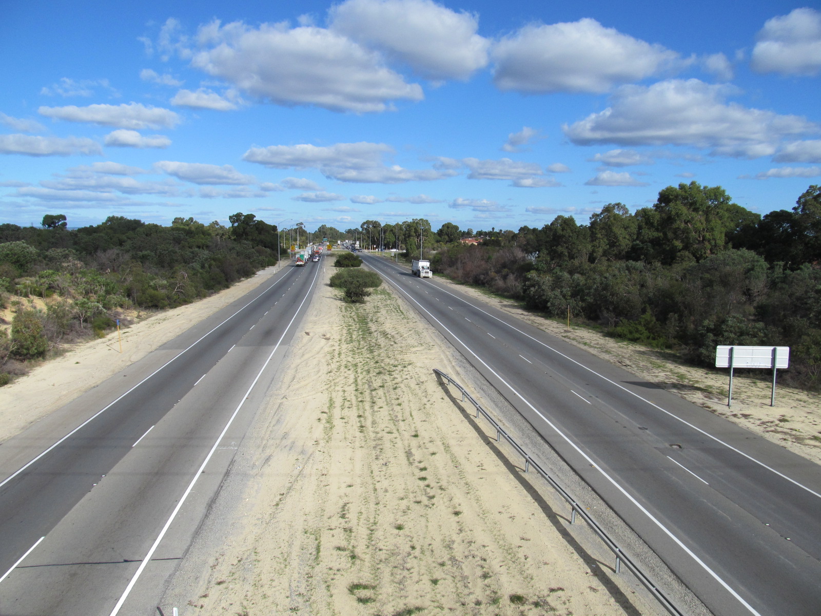
Tonkin Highway is an north–south highway and partial freeway in Perth, Western Australia, linking Perth Airport and Kewdale with the city's north-eastern and south-eastern suburbs. As of April 2020, the northern terminus is at the interchange with Brand Highway and Great Northern Highway in Muchea, and the southern terminus is at Thomas Road in Oakford. It forms the entire length of State Route 4, and connects to several major roads. Besides Brand Highway and Great Northern Highway, it also connects to Reid Highway, Great Eastern Highway, Leach Highway, Roe Highway, and Albany Highway. Planning for the route began in the 1950s, but the first segment between Wattle Grove and Cloverdale was not opened until 1980. Over the next five years, the highway was extended north to Great Eastern Highway and south to Albany Highway, and a discontinuous section was constructed north of the Swan River. In 1988 the Redcliffe Bridge linked these sections, and three years later, Reid H ... [...More Info...] [...Related Items...] OR: [Wikipedia] [Google] [Baidu] |
South West (Western Australia)
The South West region is one of the nine regions of Western Australia. It has an area of 23,970 km2, and a population of about 170,000 people. Bunbury is the main city in the region. Climate The South West has a Mediterranean climate, with dry summers and wet winters. There is about 900 mm of precipitation per year, with most between May and September. Bunburyonline. Mean maximum daily temperatures range from 16 °C in July to 34 °C in February. Economy The economy of the South West is very diverse. It is a major world producer of aluminium oxide and |
South Western Highway
South Western Highway is a highway in the South West region of Western Australia connecting Perth's southeast with Walpole. It is a part of the Highway 1 network for most of its length. It is about long. Route description Perth to Bunbury From Perth, the highway, signed as State Route 20, starts from the Albany Highway junction in Armadale, 28 km from Perth, and follows a north–south route 20–30 km inland from the coast, passing through several agricultural and timber towns that sprang up in the 1890s when the nearby railway came through, such as Pinjarra, Waroona, Yarloop and Harvey. In January 2016, the Samson Brook bridge, one of the highway bridges near Waroona, was damaged by a bushfire. Just past Brunswick Junction, the highway heads southwest towards Western Australia's third-largest city, Bunbury. The typical scenery on this part of the highway includes small dairy farms and orchards, jarrah and marri remnant forests and pine plantations. Unti ... [...More Info...] [...Related Items...] OR: [Wikipedia] [Google] [Baidu] |
Bushland
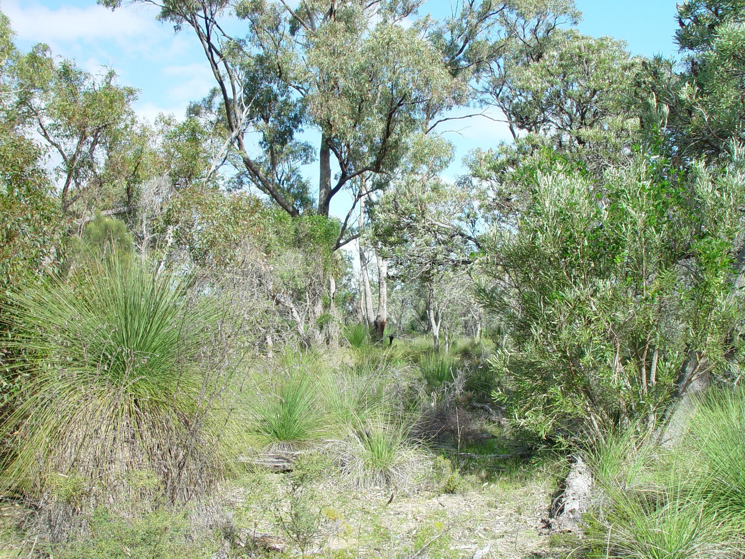
In Australia, bushland is a blanket term for land which supports remnant vegetation or land which is disturbed but still retains a predominance of the original floristics and structure. Human survival in bushland has a whole mythology evolving around it, with the stories of Aboriginal trackers and bushrangers deeply entrenched in Australian folklore. Bushland has been a traditional source of wood for fuel and bushfood. Bushland provides a number of ecosystem services including the protection of water quality, stopping erosion, acting as a windbreak, and trapping nutrients. Bushland is prone to bushfires. This presents a challenge to authorities as infrastructure and habitations encroach into bushland areas. Preservation Until recently Australia had a very high rate of land clearing, which resulted in the destruction of bushland. Since 2006 the rate of land clearing has declined significantly. This is partially attributed to legislation that placed a ban on broad scale cleari ... [...More Info...] [...Related Items...] OR: [Wikipedia] [Google] [Baidu] |
Ephemeral
Ephemerality (from the Greek word , meaning 'lasting only one day') is the concept of things being transitory, existing only briefly. Academically, the term ephemeral constitutionally describes a diverse assortment of things and experiences, from digital media to types of streams. "There is no single definition of ephemerality". With respect to unique performances, for example, it has been noted that " hemerality is a quality caused by the ebb and flow of the crowd's concentration on the performance and a reflection of the nostalgic character of specific performances". Because different people may value the passage of time differently, ephemerality may be a relative, perceptual concept: "In brief, what is short-lived may not be the object itself, but the attention we afford it".Ronald Beiner, ''Political Philosophy: What It Is and Why It Matters'' (2014), p. 10. Ephemerality and nature Geographical features An ephemeral stream is that which only exists following precipitation. ... [...More Info...] [...Related Items...] OR: [Wikipedia] [Google] [Baidu] |
Serpentine River (Western Australia)
The Serpentine River is a river in the South West region of Western Australia. It is known as Waangaamaap Bilya to the Indigenous Bindjareb people, who met, lived and fished there before British settlement. The river rises in the Darling Scarp below Bowerling Hill and flows westward crossing Albany Highway north of North Bannister. The river continues north west through the Youarling State Forest then the Serpentine National Park. The river flows through Serpentine Dam then flows over Serpentine Falls just south of Jarrahdale as it comes off the Scarp and onto the Swan Coastal Plain. The river continues west and crosses the South Western Highway then flows past the town of Serpentine. The river then veers south and continues until it discharges into the Peel Inlet near Mandurah. The upper reaches of the river flow into Serpentine Dam, which provides drinking water to the Perth metropolitan area. The only tributary to Serpentine River is Big Brook. Additionally, the Pee ... [...More Info...] [...Related Items...] OR: [Wikipedia] [Google] [Baidu] |
South Western Railway, Western Australia
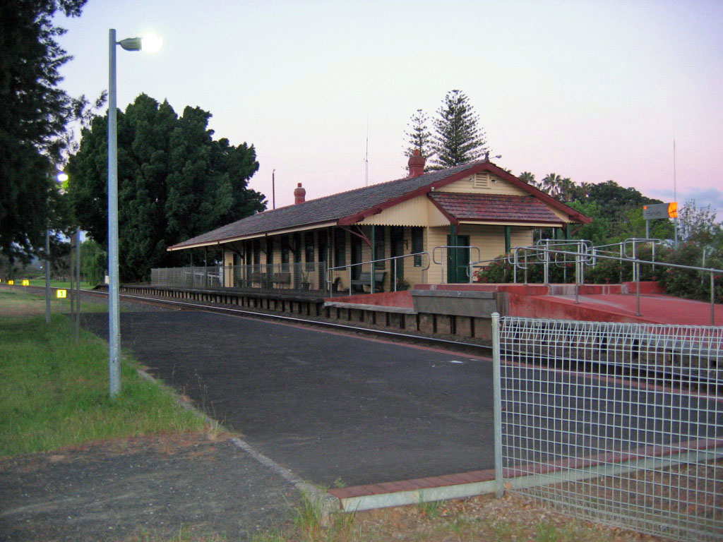
The South Western Railway, also known as the South West Main Line, is the main railway route between Perth and Bunbury in Western Australia. History Construction The South Western Railway was constructed for the Western Australian Government Railways (WAGR) by various private contractors from 1891. Among these was the engineer and magistrate William W. L. Owen. Construction was completed in two parts. The first, East Perth to Pinjarra, was undertaken by William Atkins (former mill manager of the Neil McNeil Co. at the Jarrahdale Timber Station) and Robert Oswald Law (who built the Fremantle Long Jetty) from the end of 1891. Work began in 1892 but was slowed by difficulties with building the bridge over the Swan River. This section opened on 22 May 1893. The second phase of construction was also completed by Atkins and McNeil, starting at Bunbury and working north to Pinjarra opening on 22 August 1893. Bunbury station was opened by Sir John Forrest on 14 November 1894. ... [...More Info...] [...Related Items...] OR: [Wikipedia] [Google] [Baidu] |
The Perth Gazette
''The West Australian'' is the only locally edited daily newspaper published in Perth, Western Australia. It is owned by Seven West Media (SWM), as is the state's other major newspaper, ''The Sunday Times''. It is the second-oldest continuously produced newspaper in Australia, having been published since 1833. It tends to have conservative leanings, and has mostly supported the Liberal–National Party Coalition. It has Australia's largest share of market penetration (84% of WA) of any newspaper in the country. Content ''The West Australian'' publishes international, national and local news. , newsgathering was integrated with the TV news and current-affairs operations of ''Seven News'', Perth, which moved its news staff to the paper's Osborne Park premises. SWM also publish two websites from Osborne Park including thewest.com.au and PerthNow. The daily newspaper includes lift-outs including Play Magazine, The Guide, West Weekend, and Body and Soul. Thewest.com.au is the onl ... [...More Info...] [...Related Items...] OR: [Wikipedia] [Google] [Baidu] |
Perth Metropolitan Area
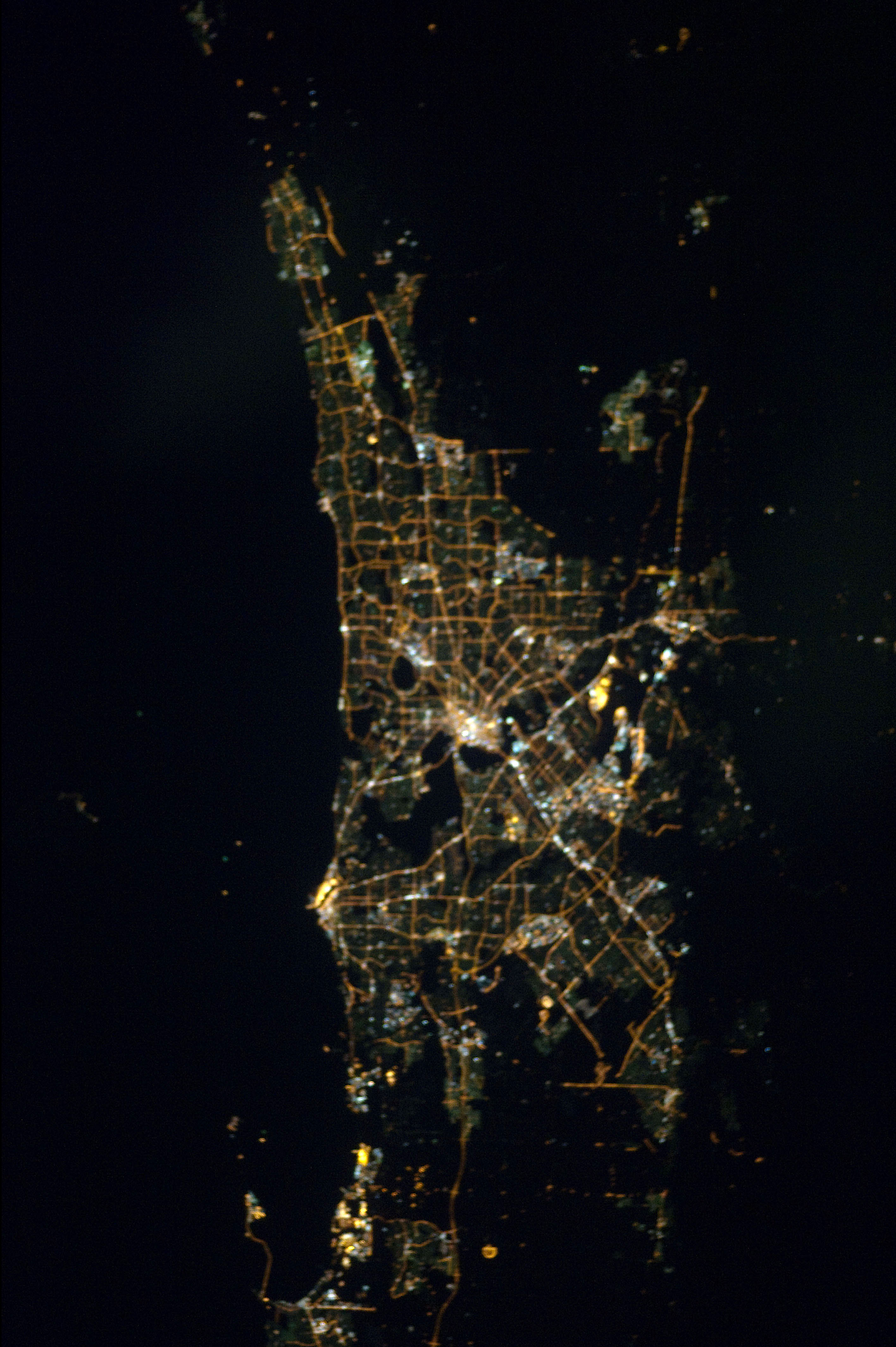
The Perth metropolitan region or the Perth metropolitan area is the administrative area and geographical extent of the Western Australian capital city of Perth and its conurbation. It generally includes the coastal strip from Two Rocks in the north to Singleton in the south, and inland to The Lakes in the east, but its extent can be defined in a number of ways: *The metropolitan region is defined by the ''Planning and Development Act 2005'' to include 30 local government areas with the outer extent being the City of Wanneroo and the City of Swan to the north, the Shire of Mundaring, City of Kalamunda, and the City of Armadale to the east, the Shire of Serpentine-Jarrahdale to the southeast and the City of Rockingham to the southwest, and including the islands of Rottnest Island and Garden Island off the west coast. This extent correlates with the Metropolitan Region Scheme. *The Australian Bureau of Statistics' Perth (Major Statistical Division) accords with the Metrop ... [...More Info...] [...Related Items...] OR: [Wikipedia] [Google] [Baidu] |


