|
Madan Ashrit Highway
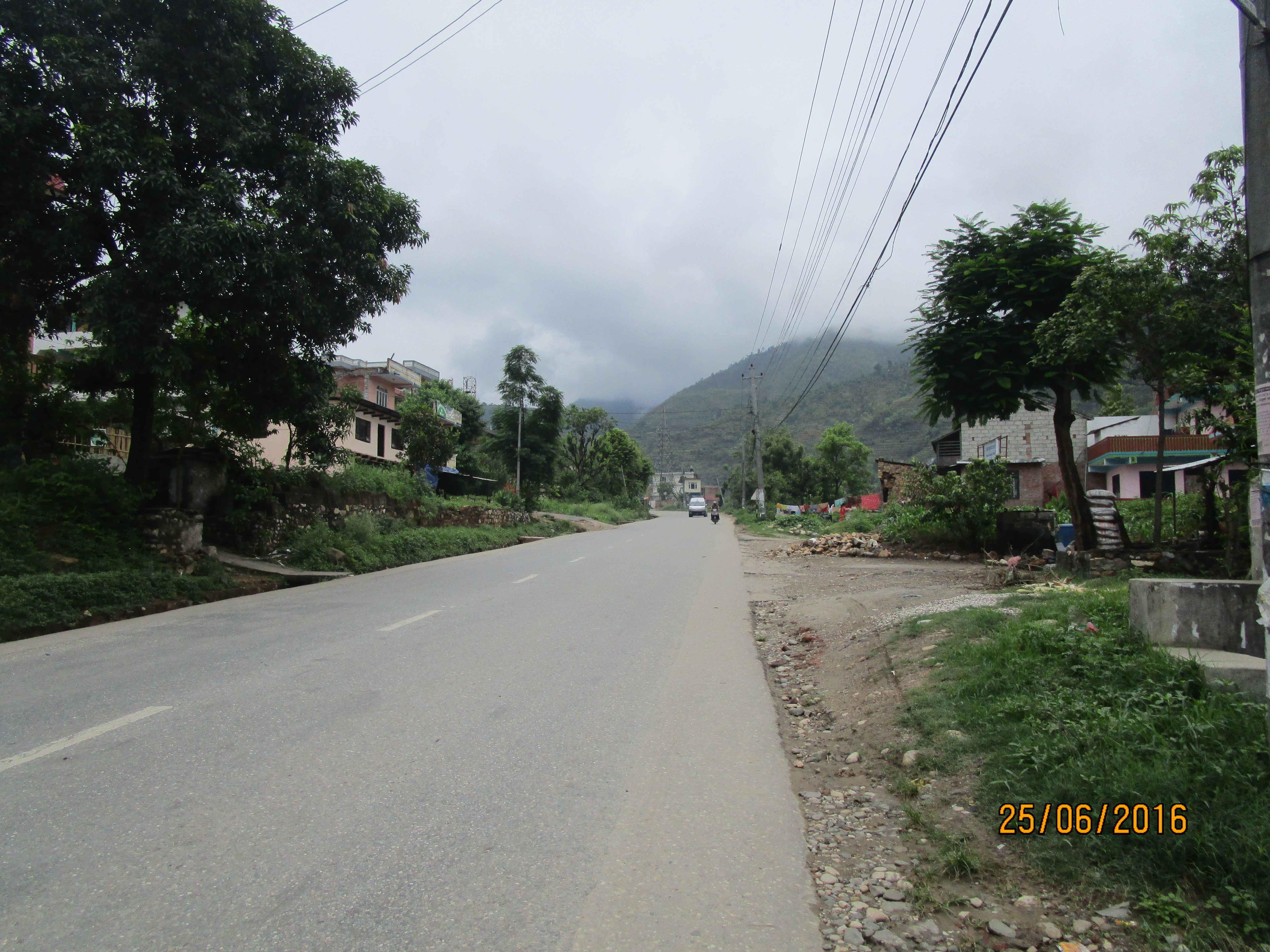
Madan Ashrit Highway also known as Muglin - Narayangadh Highway is Nepal's one of the busiest international roadway link, carrying 90% of all international traffic, or about 20,000 vehicles daily. The 36 km road connects Naryangadh and Mugling. A 33.2 km section was being widened from 5 meters to 9–11 meters, and was finished in June 2018. It connects to Prithvi Highway at Mugling and Mahendra Highway Mahendra Highway (), also called East-West Highway () runs across the Terai geographical region of Nepal, from Mechinagar in the east to Bhim Datta in the west, cutting across the entire width of the country. It is the longest highway in Nepal a ... at Naryanghat. References Highways in Nepal {{Asia-road-stub ... [...More Info...] [...Related Items...] OR: [Wikipedia] [Google] [Baidu] |
Mugling
Mugling (; sometimes known as Muglin) is a town in Chitwan, Bagmati Province, Nepal. Mugling is located at an interchange of two majors highways: Prithvi and Madan Ashrit Highway (also known as Mugling-Narayanghat Highway). Before the 1970s, Mugling was a fishing village at the confluence of Marshyangdi River and Trishuli River. Soon after the two highways were connected, the town saw a major transformation and became synonymised as a "town that never slept". In 2005, it was reported that Mugling became like a ghost town due to the Nepalese Civil War The Nepalese Civil War was a protracted armed conflict that took place in the former Kingdom of Nepal from 1996 to 2006. It saw fighting between the Nepalese royal government and the Communist Party of Nepal (Maoist) throughout the country. ..., rising violence, and crime. During the war, the Nepal government had installed an army checkpoint at the market. References Populated places in Chitwan District Towns in Nepa ... [...More Info...] [...Related Items...] OR: [Wikipedia] [Google] [Baidu] |
Mahendra Highway
Mahendra Highway (), also called East-West Highway () runs across the Terai geographical region of Nepal, from Mechinagar in the east to Bhim Datta in the west, cutting across the entire width of the country. It is the longest highway in Nepal and was constructed by cooperation of various countries. Overview The highway is mostly a single lane in each direction. It is a major infrastructure element because east–west travel was previously limited to the Hulaki Highway built during the Rana regime, expensive and limited air travel, or Nepalese trains and buses. The highway crosses the Terai from east to west for over . Connecting Nepal from Kakarbhitta (Mechinagar Municipality) to West Mahendra Nagar in the east, this is the longest highway in Nepal till now. Bharatpur city and Chitwan valley are located towards the central part of this highway. The major destinations along and around the highway are Mechinagar, Bhadrapur, Itahari, Janakpur, Bharatpur, Butwal, Siddharthanag ... [...More Info...] [...Related Items...] OR: [Wikipedia] [Google] [Baidu] |
Prithvi Highway
The Prithvi Highway () is a highway connecting Naubise of Tribhuvan Highway, 26 km from Kathmandu, the capital of Nepal, and Prithivi Chowk, Pokhara, a tourist city in the western part of Nepal. History The construction of the highway started in 1967 with the help of the Chinese government. The construction was completed in 1974. The highway is named after King Prithvi Narayan Shah. Route This landslide-prone and heavily congested highway passes through five districts: Kathmandu, Dhading, Chitwan, Tanahu and Kaski. This highway has a junction with Tribhuvan Highway at Naubise. The Bharatpur-Mugling section connects this highway to Mahendra Highway, the longest highway in Nepal. The highway also connects Nuwakot District via a newly constructed road in Galchhi and connects to the district headquarter of Dhading District at Phurke Khola, Malekhu. Until 2011 opening of the B.P. Koirala Highway, this highway was the only improved land route from Kathmandu Valley to all ... [...More Info...] [...Related Items...] OR: [Wikipedia] [Google] [Baidu] |
Narayangadh
Bharatpur (, ne, भरतपुर, ) is a city in southern central Nepal. It is the third most populous city of Nepal after Kathmandu and Pokhara with 369,377 inhabitants in 2021. It is also the second largest metropolitan city in Nepal by area. It is the district headquarter of the Chitwan District. Bharatpur is one of the fastest-growing cities in Nepal. It lies on the western bank of the Narayani River and serves as a commercial center of the Chitwan district and the central region of Nepal. Most of the shopping area lies in the area of Narayangadh, while government offices, hospitals and colleges are situated in other parts of the city, including Nepal's premier cancer hospital, B.P Koirala Memorial Cancer Hospital. In March 2017, Bharatpur was declared a metropolitan city after Narayani Municipality, Chitrawan Municipality and Kabilas Village were merged into it. Economy The economy of Bharatpur is traditionally based on agriculture. The city also holds a small-s ... [...More Info...] [...Related Items...] OR: [Wikipedia] [Google] [Baidu] |

