|
MV Bute (1954)
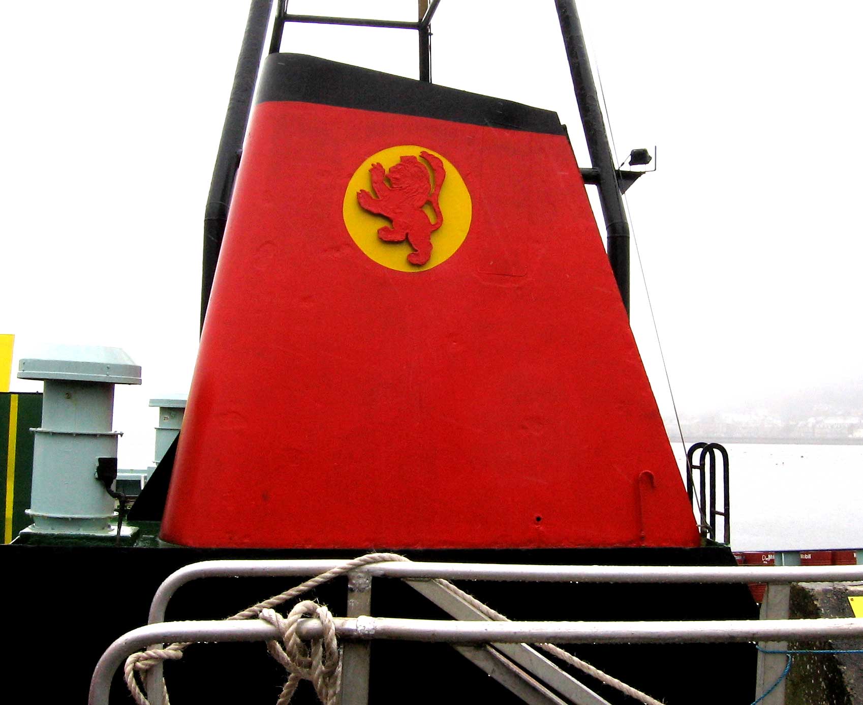
MV ''Bute'' was a Clyde vehicle ferry introduced by Caledonian Steam Packet Company in 1954. She spent 24 years on the Upper Clyde crossings. During her final years with Calmac, she relieved in the west highlands. History MV ''Bute'' was the last of a trio of vehicle vessels ordered in 1951 to modernise the Clyde fleet. Three "general purpose" vessels were planned for the Clyde routes of their names, , MV ''Bute'' and . Built by Ailsa Shipbuilding Company, she was launched from their Troon yard on 28 September 1954. After 24 years' service, she was laid up in Greenock's James Watt Dock in late 1978 and was still there the following spring. In November 1979, she was sold to Gerasinos Phetouris of Greece. As ''Med Sun'', registered in Piraeus, she left the Clyde, on 17 June 1980, under tow, for the Adriatic. Phetouris died in 1983 and his vision for her and was never progressed. The former Clyde ferry was broken up in 1984–85. Layout MV ''Butes passenger accommodation consiste ... [...More Info...] [...Related Items...] OR: [Wikipedia] [Google] [Baidu] |
United Kingdom
The United Kingdom of Great Britain and Northern Ireland, commonly known as the United Kingdom (UK) or Britain, is a country in Europe, off the north-western coast of the continental mainland. It comprises England, Scotland, Wales and Northern Ireland. The United Kingdom includes the island of Great Britain, the north-eastern part of the island of Ireland, and many smaller islands within the British Isles. Northern Ireland shares a land border with the Republic of Ireland; otherwise, the United Kingdom is surrounded by the Atlantic Ocean, the North Sea, the English Channel, the Celtic Sea and the Irish Sea. The total area of the United Kingdom is , with an estimated 2020 population of more than 67 million people. The United Kingdom has evolved from a series of annexations, unions and separations of constituent countries over several hundred years. The Treaty of Union between the Kingdom of England (which included Wales, annexed in 1542) and the Kingdom of Scotland in 170 ... [...More Info...] [...Related Items...] OR: [Wikipedia] [Google] [Baidu] |
Caledonian MacBrayne
Caledonian MacBrayne ( gd, Caledonian Mac a' Bhriuthainn), usually shortened to CalMac, is the major operator of passenger and vehicle ferries, and ferry services, between the mainland of Scotland and 22 of the major islands on Scotland's west coast. Since 2006, the company's official name has been CalMac Ferries Ltd, although it still operates as Caledonian MacBrayne. In 2006, it also became a subsidiary of holding company David MacBrayne, which is owned by the Scottish Government. History David MacBrayne MacBrayne's, initially known as David Hutcheson & Co., began in 1851 as a private steamship operator when G. and J. Burns, operators of the largest of the Clyde fleets, decided to concentrate on coastal and transatlantic services and handed control of their river and Highland steamers to a new company in which Hutcheson, their manager of these services, became senior partner. One of the other partners was David MacBrayne (1817-1907), nephew of Messrs. Burns. In 1878, the ... [...More Info...] [...Related Items...] OR: [Wikipedia] [Google] [Baidu] |
Armadale, Skye
Armadale ( gd, Armadal) is a village near the southern end of the Sleat peninsula on the Isle of Skye, in the Highland council area of Scotland. Like most of Sleat, but unlike most of Skye, the area is fairly fertile, and though there are hills, most do not reach a great height. It looks out over the Sound of Sleat, to Morar and Mallaig. The name ’Armadale’, meaning ‘elongated valley’, derives from the Old Norse ''armr'' and ''dalr''. Clan Donald has a visitor centre situated next to the ruins of Armadale Castle and surrounded by large gardens, while the nearby Sabhal Mòr Ostaig is a centre of Gaelic learning. The village is also a small port, and has a regular Caledonian MacBrayne ferry service to Mallaig. It is at the southern end of the A851 road The A851 road is one of the principal roads of the Isle of Skye in the Inner Hebrides off the west coast of mainland Scotland. It connects the ferry port of Armadale on the south of the island with the A87 road for P ... [...More Info...] [...Related Items...] OR: [Wikipedia] [Google] [Baidu] |
Lochaline
Lochaline ( gd, Loch Àlainn) is the main village in the Morvern area of Highland, Scotland. The coastal village is situated at the mouth of Loch Aline, on the northern shore of the Sound of Mull. A ferry operates regularly over to Fishnish on the Isle of Mull. Population The current population of Lochaline is around 200 people. In 1930, some Gaelic-speaking residents of the archipelago of St Kilda were evacuated by Williamina Barclay and relocated to Lochaline. Many of them lived and settled in Lochaline, although with some difficulty. Transport A regular ferry operated by Caledonian MacBrayne runs over to Fishnish on the Isle of Mull. The ferry takes only about 20 minutes, runs multiple times a day, and day trips from Lochaline are possible. A snack bar by the pier is opened daily, offering hot and cold take-away snacks and beverages for the journey. There is also an infrequent bus service, 507, operated by Shiel Buses - this runs Tuesdays and Thursdays to Fort ... [...More Info...] [...Related Items...] OR: [Wikipedia] [Google] [Baidu] |
Craignure
Craignure (; gd, Creag an Iubhair) is a village and the main ferry port on the Isle of Mull, Argyll and Bute, Scotland. The village is within the parish of Torosay. Geography The village is located around Craignure Bay, on Mull's east coast. It has a population of roughly 200 people. Close to the village are two castles: Torosay and Duart. Transport Ferry A regular ferry service connects Craignure with mainland Scotland via the Sound of Mull. The original pier, on the south side of the bay, was built in 1894. The present pier, on the west side of the bay, was built in 1964. Ferries run every two hours (3 to 5 times per day during the winter, & up to 10 times per day during the summer) between Craignure and Oban (on the mainland) by CalMac. Road Craignure is situated on the A849, an indirect route between Salen and Fionnphort. The village is served by buses to Fionnphort and Tobermory. Railway Craignure railway station was on the now closed narrow gauge A nar ... [...More Info...] [...Related Items...] OR: [Wikipedia] [Google] [Baidu] |
Oban
Oban ( ; ' in Scottish Gaelic meaning ''The Little Bay'') is a resort town within the Argyll and Bute council area of Scotland. Despite its small size, it is the largest town between Helensburgh and Fort William. During the tourist season, the town can have a temporary population of up to over 24,000 people. Oban occupies a setting in the Firth of Lorn. The bay forms a near perfect horseshoe, protected by the island of Kerrera; and beyond Kerrera, the Isle of Mull. To the north, is the long low island of Lismore and the mountains of Morvern and Ardgour. Pre-history and archaeology Humans have used the site where Oban now stands since at least Mesolithic times, as evidenced by archaeological remains of cave dwellers found in the town. Just outside the town, stands Dunollie Castle, on a site that overlooks the main entrance to the bay and has been fortified since the Bronze Age. Just to the north of Oban, at Dunstaffnage, excavations in 2010, by Argyll Archaeology, in advanc ... [...More Info...] [...Related Items...] OR: [Wikipedia] [Google] [Baidu] |
Wemyss Bay
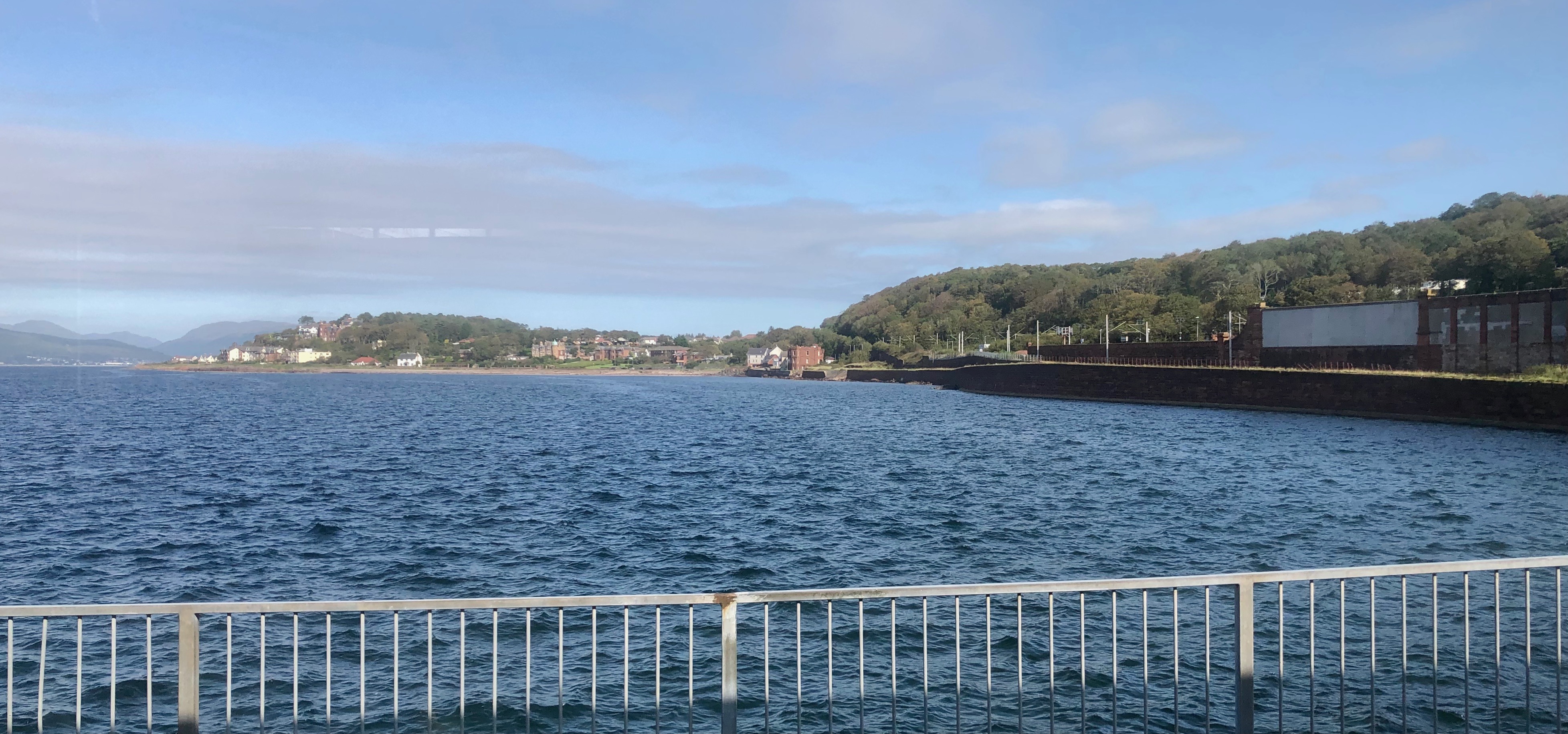
Wemyss Bay (; ) is a town on the coast of the Firth of Clyde in Inverclyde in the west central Lowlands of Scotland. It is in the traditional county of Renfrewshire. It is adjacent to Skelmorlie, North Ayrshire. The town and villages have always been in separate counties, divided by the Kelly Burn. Wemyss Bay is the port for ferries on the Sea Road to Rothesay on the Isle of Bute. Passengers from the island can connect to Glasgow by trains, which terminate in the town at the remarkable Wemyss Bay railway station, noted for its architectural qualities and regarded as one of Scotland's finest railway buildings. The port is very exposed, so in high winds the ferries must travel up river to Gourock to dock. Topography Etymology The name Kelly comes from Celtic languages, with the meaning of a wood or woodland. Similarly, Kelburn refers to a wooded river. The name Wemyss is derived from the Scottish Gaelic ''uaimh'' which means ''cave''.Way, George and Squire, Romily. ''Collins ... [...More Info...] [...Related Items...] OR: [Wikipedia] [Google] [Baidu] |
Cumbrae
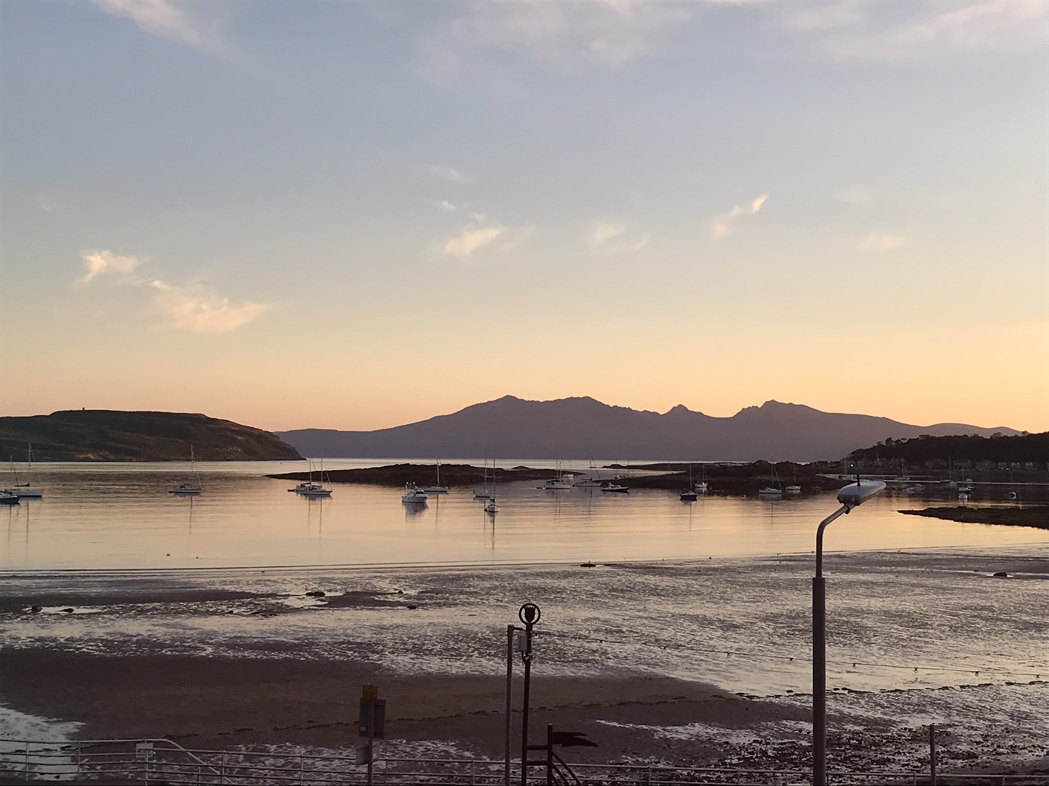
Great Cumbrae ( sco, Muckle Cumbrae; gd, Cumaradh Mòr; also known as Great Cumbrae Island, Cumbrae or the Isle of Cumbrae) is the larger of the two islands known as The Cumbraes in the lower Firth of Clyde in western Scotland. The island is sometimes called Millport, after its main town. Home to the Cathedral of The Isles and the FSC Millport field study centre, the island has a thriving community of 1,300 residents. Geography The island is roughly long by wide, rising to a height of above sea level at The Glaid Stone, which is a large, naturally occurring rock perched on the highest summit on the island. There is a triangulation pillar nearby, as well as an orientation point which indicates the locations of surrounding landmarks. In clear conditions, views extend north over the upper Clyde estuary to Ben Lomond and the Arrochar Alps. To the west, the larger islands of Bute and Arran can be seen, while on the other side of Knapdale the Paps of Jura may be visible. Loo ... [...More Info...] [...Related Items...] OR: [Wikipedia] [Google] [Baidu] |
Dunoon
Dunoon (; gd, Dùn Omhain) is the main town on the Cowal peninsula in the south of Argyll and Bute, Scotland. It is located on the western shore of the upper Firth of Clyde, to the south of the Holy Loch and to the north of Innellan. As well as forming part of the council area of Argyll and Bute, Dunoon also has its own community council. Dunoon was a burgh until 1976. The early history of Dunoon often revolves around two feuding clans: the Lamonts and the Campbells. Dunoon was a popular destination when travel by steamships was common around the Firth of Clyde; Glaswegians described this as going ''doon the watter''. This diminished, and many holidaymakers started to go elsewhere as roads and railways improved and the popularity of overseas travel increased. In 1961, during the height of the Cold War, Dunoon became a garrison town to the United States Navy. In 1992, shortly after the dissolution of the Soviet Union, they closed their Holy Loch base in Sandbank, and neigh ... [...More Info...] [...Related Items...] OR: [Wikipedia] [Google] [Baidu] |
Gourock
Gourock ( ; gd, Guireag ) is a town in the Inverclyde council area and formerly a burgh of the County of Renfrew in the west of Scotland. It was a seaside resort on the East shore of the upper Firth of Clyde. Its main function today is as a residential area, extending contiguously from Greenock, with a railway terminus and ferry services across the Clyde. History The name Gourock comes from a Gaelic word for "pimple", in reference to the hill above the town. As far back as 1494 it is recorded that James IV sailed from the shore at Gourock to quell the rebellious Highland clans. Two hundred years later William and Mary granted a Charter in favour of Stewart of Castlemilk which raised Gourock to a Burgh of Barony. In 1784 the lands of Gourock were purchased by Duncan Darroch, a former merchant in Jamaica. He built Gourock House near the site of the castle in what the family eventually gifted to the town as Darroch Park, later renamed by the council as Gourock Park. From a sma ... [...More Info...] [...Related Items...] OR: [Wikipedia] [Google] [Baidu] |
Linkspan
A linkspan or link-span is a type of drawbridge used mainly in the operation of moving vehicles on and off a roll-on/roll-off (RO-RO) vessel or ferry, particularly to allow for tidal changes in water level. Linkspans are usually found at ferry terminals where a vessel uses a combination of ramps either at the stern, bow or side to load or unload cars, vans, trucks and buses onto the shore, or alternately at the stern and/or the bow to load or unload railroad cars. History The first linkspans appeared at the end of the 19th century when train ferries came into operation. Each rail ferry berth has to be specifically designed to make sure that it fitted one class of ship. In most of these vessels it was also possible to carry some road vehicles. By the mid 20th century with the rise of road transport, general purpose Ro Ro ferries started to come into service. Most could use the rail ferry berths but generally they were fitted with stern ramps that had the dual function of gi ... [...More Info...] [...Related Items...] OR: [Wikipedia] [Google] [Baidu] |


