|
M12 (Istanbul Metro)
Line M12, officially referred to as the M12 Göztepe-Ataşehir-Ümraniye line, is a proposed rapid transit line of the Istanbul Metro system, currently under construction in the Asian part of Istanbul, Turkey. Built by the Metropolitan Municipality of Istanbul, the line will be long with 11 stations, and is expected to go into service in 2024. The travel time between the end stations will be 26 minutes. It is expected that it will carry hourly around 35,000 riders in one direction. The line will run through three districts of Istanbul, namely Kadıköy, Ataşehir and Ümraniye. It will connect to other rapid transit lines at Tütüncü Mehmet Efendi station to Marmaray, at Yenisahra to M4 Kadıköy–Sabiha Gökçen Airport, and at Çarşı to M5 Üsküdar–Çekmeköy. The investment budget of the construction is 2.376 billion (approx. US$670 million). The construction of the metro began with work at the end station 60. Yıl Parkı in August 2017. The tender of this project w ... [...More Info...] [...Related Items...] OR: [Wikipedia] [Google] [Baidu] |
Rapid Transit
Rapid transit or mass rapid transit (MRT), also known as heavy rail or metro, is a type of high-capacity public transport generally found in urban areas. A rapid transit system that primarily or traditionally runs below the surface may be called a subway, tube, or underground. Unlike buses or trams, rapid transit systems are railways (usually electric railway, electric) that operate on an exclusive right-of-way (transportation), right-of-way, which cannot be accessed by pedestrians or other vehicles, and which is often grade-separated in tunnels or on elevated railways. Modern services on rapid transit systems are provided on designated lines between rapid transit station, stations typically using electric multiple units on rail tracks, although some systems use guided rubber tires, magnetic levitation (''maglev''), or monorail. The stations typically have high platforms, without steps inside the trains, requiring custom-made trains in order to minimize gaps between train a ... [...More Info...] [...Related Items...] OR: [Wikipedia] [Google] [Baidu] |
Göztepe (İstanbul Metrosu)
Göztepe (''watch hill'' in Turkish) may refer to: *Göztepe, Kadıköy, a neighbourhood of Kadıköy district in Istanbul, Turkey **Göztepe railway station, a train station **Göztepe (Istanbul Metro, M4), a metro station *Göztepe, Konak, a neighborhood of Konak district in İzmir, Turkey **Göztepe (İzmir Metro), a metro station **Göztepe (Tram İzmir), a tram station **Göztepe S.K. Göztepe Spor Kulübü (, Göztepe Sports Club), also known as Göztepe, is a Turkish sports club based in the Göztepe and Güzelyalı neighborhoods of İzmir. The "AŞ" refers to ''incorporated company'', as besides football, the club also ..., a football (soccer) club * Göztepe, Pazaryolu, a neighbourhood of Pazaryolu District of Erzurum Province, Turkey {{DEFAULTSORT:Goztepe ... [...More Info...] [...Related Items...] OR: [Wikipedia] [Google] [Baidu] |
Kâzım Karabekir (Istanbul Metro)
Musa Kâzım Karabekir (also spelled Kiazim Karabekir in English; 1882 – 26 January 1948) was a Turkish general and politician. He was the commander of the Eastern Army of the Ottoman Empire at the end of World War I and served as Speaker of the Grand National Assembly of Turkey before his death. Early life Karabekir was born in 1882 as the son of an Ottoman general, Mehmet Emin Pasha, in the Kocamustafapaşa quarter of the Kuleli neighborhood of Constantinople, in the Ottoman Empire. The Karabekir family traced its heritage back to the medieval Karamanid principality, in central Anatolia, where his family belonged to the Afshar tribe. Karabekir toured several places in the Ottoman Empire while his father served in the army. He returned to Istanbul in 1893 with his mother after his father died in Mecca. They settled in the Zeyrek Quarter. Karabekir was put into Fatih Military Secondary School the next year. After finishing his education there, he attended the Kuleli Militar ... [...More Info...] [...Related Items...] OR: [Wikipedia] [Google] [Baidu] |
Istanbul M5 Line Symbol
) , postal_code_type = Postal code , postal_code = 34000 to 34990 , area_code = +90 212 (European side) +90 216 (Asian side) , registration_plate = 34 , blank_name_sec2 = GeoTLD , blank_info_sec2 = .ist, .istanbul , website = , blank_name = GDP (Nominal) , blank_info = 2021 , blank1_name = - Total , blank1_info = US$ 248 billion , blank2_name = - Per capita , blank2_info = US$ 15,666 , blank3_name = HDI (2019) , blank3_info = 0.846 () · 1st , timezone = TRT , utc_offset = +3 , module = , name = , government_type = Mayor–council government , governing_body = Municipal Council of Istanbul , image_shield = , established_date = 11 May 330 AD , image_ ... [...More Info...] [...Related Items...] OR: [Wikipedia] [Google] [Baidu] |
Çarşı (Istanbul Metro)
Çarşı is a Turkish underground station on the M5 line of the Istanbul Metro in Ümraniye. It is located beneath Alemdağ Avenue and Tunaboyu Street in the Yaman Evler neighborhood of Ümraniye. Connection to IETT ] Public transport in Istanbul comprises a bus network, various rail systems, funiculars, and maritime services to serve the more than 18 million inhabitants of the city spread over an area of 5712 km2. History Public road transpor ... city buses is available from at street level. The station consists of an island platform with two tracks. Since the M5 is an Automatic train operation, ATO line, protective gates on each side of the platform open only when a train is in the station. Çarşı station was opened on 15 December 2017, together with eight other stations between Üsküdar and Yamanevler. A second platform for the under construction M12 line is expected to open in the 2020s. Station Layout References Railway stations opened in 2017 ... [...More Info...] [...Related Items...] OR: [Wikipedia] [Google] [Baidu] |
Atakent (Istanbul Metro)
Atakent is a neighbourhood in the municipality and district of Silifke, Mersin Province, Turkey. Its population is 8,195 (2022). Before the 2013 reorganisation, it was a town (''belde''). Geography Atakent is a Mediterranean coastal town. Alluvial plains of Silifke lie in the west of the town and hilly coastline is in the east of the town. The town is on the D 400 highway. The distance to Mersin is and to Silifke is . History The ruins of the historical town of Korasion which had been founded by Flavius Uranius, the governor of Roman Province Isauria between 367−375, is on the north east of the town. The ruins of Hellenistic and Roman settlement Karakabaklı are to the north. The new town is actually formed by a merger Mergers and acquisitions (M&A) are business transactions in which the ownership of companies, other business organizations, or their operating units are transferred to or consolidated with another company or business organization. As an aspect ... [...More Info...] [...Related Items...] OR: [Wikipedia] [Google] [Baidu] |
Istanbul M13 Line Symbol
Istanbul ( , ; tr, İstanbul ), formerly known as Constantinople ( grc-gre, Κωνσταντινούπολις; la, Constantinopolis), is the List of largest cities and towns in Turkey, largest city in Turkey, serving as the country's economic, cultural and historic hub. The city straddles the Bosporus strait, lying in both Europe and Asia, and has a population of over 15 million residents, comprising 19% of the population of Turkey. Istanbul is the list of European cities by population within city limits, most populous European city, and the world's List of largest cities, 15th-largest city. The city was founded as Byzantium ( grc-gre, Βυζάντιον, ) in the 7th century BCE by Ancient Greece, Greek settlers from Megara. In 330 CE, the Roman emperor Constantine the Great made it his imperial capital, renaming it first as New Rome ( grc-gre, Νέα Ῥώμη, ; la, Nova Roma) and then as Constantinople () after himself. The city grew in size and influence, eventually becom ... [...More Info...] [...Related Items...] OR: [Wikipedia] [Google] [Baidu] |
Site (Istanbul Metro)
Site most often refers to: * Archaeological site * Campsite, a place used for overnight stay in an outdoor area * Construction site * Location, a point or an area on the Earth's surface or elsewhere * Website, a set of related web pages, typically with a common domain name It may also refer to: * Site, a National Register of Historic Places property type * SITE (originally known as ''Sculpture in the Environment''), an American architecture and design firm * Site (mathematics), a category C together with a Grothendieck topology on C * ''The Site'', a 1990s TV series that aired on MSNBC * SITE Intelligence Group, a for-profit organization tracking jihadist and white supremacist organizations * SITE Institute, a terrorism-tracking organization, precursor to the SITE Intelligence Group * Sindh Industrial and Trading Estate, a company in Sindh, Pakistan * SITE Centers, American commercial real estate company * SITE Town, a densely populated town in Karachi, Pakistan * S.I.T.E Indust ... [...More Info...] [...Related Items...] OR: [Wikipedia] [Google] [Baidu] |
Istanbul M34 Line Symbol
) , postal_code_type = Postal code , postal_code = 34000 to 34990 , area_code = +90 212 (European side) +90 216 (Asian side) , registration_plate = 34 , blank_name_sec2 = GeoTLD , blank_info_sec2 = .ist, .istanbul , website = , blank_name = GDP (Nominal) , blank_info = 2021 , blank1_name = - Total , blank1_info = US$ 248 billion , blank2_name = - Per capita , blank2_info = US$ 15,666 , blank3_name = HDI (2019) , blank3_info = 0.846 () · 1st , timezone = TRT , utc_offset = +3 , module = , name = , government_type = Mayor–council government , governing_body = Municipal Council of Istanbul , image_shield = , established_date = 11 May 330 AD , image_ma ... [...More Info...] [...Related Items...] OR: [Wikipedia] [Google] [Baidu] |
Ataşehir (Istanbul Metro)
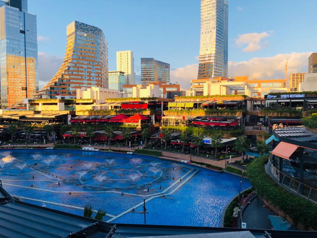
Ataşehir is a municipality and district of Istanbul Province, Turkey. Its area is 25 km2, and its population is 423,127 (2022). It is located at the junction of the O-2 and O-4 motorways on the Anatolian (Asian) side of Istanbul. Its neighbours are the districts of Ümraniye to the north, Sancaktepe to the northeast, Maltepe to the east, Kadıköy to the south and Üsküdar to the west. As of 2021, the tallest skyscraper in Ataşehir, Istanbul and Turkey is Metropol Istanbul Tower (70 floors, 301 metres tall including its twin spires), which is a mixed-use complex with three towers and a shopping mall. Unlike in Başakşehir, another satellite city (on the western part of the European side of Istanbul), no single-family house types were designed for Ataşehir's residential projects. Most buildings in Ataşehir are high-rise towers, while some of them (especially around the main public squares in the district) are among Istanbul's and Turkey's tallest skyscrapers. ... [...More Info...] [...Related Items...] OR: [Wikipedia] [Google] [Baidu] |


