|
Mud Lake (Illinois)
There are several lakes named Mud Lake within the U.S. state of Illinois. * Mud Lake, Barrington Hills, Cook County, Illinois. * Mud Lake (historic), Chicago, Cook County, Illinois. Was part of the Chicago Portage. No longer exists. * Mud Lake, Gallatin County, Illinois. * Mud Lake, Lake County, Illinois. * Mud Lake, Mason County, Illinois. * Mud Lake, Sangamon County, Illinois Sangamon County is located in the center of the U.S. state of Illinois. According to the 2010 United States Census, 2010 census, it had a population of 197,465. Its county seat and largest city is Springfield, Illinois, Springfield, the List .... References USGS-U.S. Board on Geographic Names Lakes of Illinois {{Illinois-geo-stub ... [...More Info...] [...Related Items...] OR: [Wikipedia] [Google] [Baidu] |
Lake
A lake is an area filled with water, localized in a basin, surrounded by land, and distinct from any river or other outlet that serves to feed or drain the lake. Lakes lie on land and are not part of the ocean, although, like the much larger oceans, they do form part of the Earth's water cycle. Lakes are distinct from lagoons, which are generally coastal parts of the ocean. Lakes are typically larger and deeper than ponds, which also lie on land, though there are no official or scientific definitions. Lakes can be contrasted with rivers or streams, which usually flow in a channel on land. Most lakes are fed and drained by rivers and streams. Natural lakes are generally found in mountainous areas, rift zones, and areas with ongoing glaciation. Other lakes are found in endorheic basins or along the courses of mature rivers, where a river channel has widened into a basin. Some parts of the world have many lakes formed by the chaotic drainage patterns left over from the la ... [...More Info...] [...Related Items...] OR: [Wikipedia] [Google] [Baidu] |
Illinois
Illinois ( ) is a U.S. state, state in the Midwestern United States, Midwestern United States. Its largest metropolitan areas include the Chicago metropolitan area, and the Metro East section, of Greater St. Louis. Other smaller metropolitan areas include, Peoria metropolitan area, Illinois, Peoria and Rockford metropolitan area, Illinois, Rockford, as well Springfield, Illinois, Springfield, its capital. Of the fifty U.S. states, Illinois has the List of U.S. states and territories by GDP, fifth-largest gross domestic product (GDP), the List of U.S. states and territories by population, sixth-largest population, and the List of U.S. states and territories by area, 25th-largest land area. Illinois has a highly diverse Economy of Illinois, economy, with the global city of Chicago in the northeast, major industrial and agricultural productivity, agricultural hubs in the north and center, and natural resources such as coal, timber, and petroleum in the south. Owing to its centr ... [...More Info...] [...Related Items...] OR: [Wikipedia] [Google] [Baidu] |
Barrington Hills, Illinois
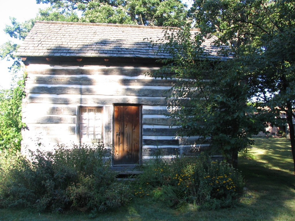
Barrington Hills is a village located about northwest of Chicago in the U.S. state of Illinois. Per the 2020 census, the population was 4,114. It straddles approximately over four counties, Cook, Kane, Lake, and McHenry. The Village of Barrington Hills was incorporated in 1957. The suburban village is included in the greater Barrington area. Many very affluent residents live on large estates and commute to downtown Chicago. A minimum zoning restriction has been in effect on new construction since 1963, but the existence of equestrian farms antedates the village by decades. Farming and horse raising are allowed. Barrington Hills includes farms and estates such as ''Hill 'N Dale Farms'', owned by Richard L. Duchossois, former owner of the Arlington Park racetrack, and the ''Bank Note Farm''. The identification of the area with horses carries over to the names Broncos and Colts for school teams. History Barrington Center Church Barrington Center Church was built in 1853 by ... [...More Info...] [...Related Items...] OR: [Wikipedia] [Google] [Baidu] |
Cook County, Illinois
Cook County is the most populous county in the U.S. state of Illinois and the second-most-populous county in the United States, after Los Angeles County, California. More than 40% of all residents of Illinois live within Cook County. As of 2020, the population was 5,275,541. Its county seat is Chicago, the most populous city in Illinois and the third-most-populous city in the United States. Cook County was incorporated in 1831 and named for Daniel Pope Cook, an early Illinois statesman. It achieved its present boundaries in 1839. Within one hundred years, the county recorded explosive population growth going from a trading post village with a little over 600 residents to four million citizens, rivalling Paris by the Great Depression. During the first half of the 20th century it had the absolute majority of Illinois's population. There are more than 800 local governmental units and nearly 130 municipalities located wholly or partially within Cook County, the largest of whic ... [...More Info...] [...Related Items...] OR: [Wikipedia] [Google] [Baidu] |
Chicago
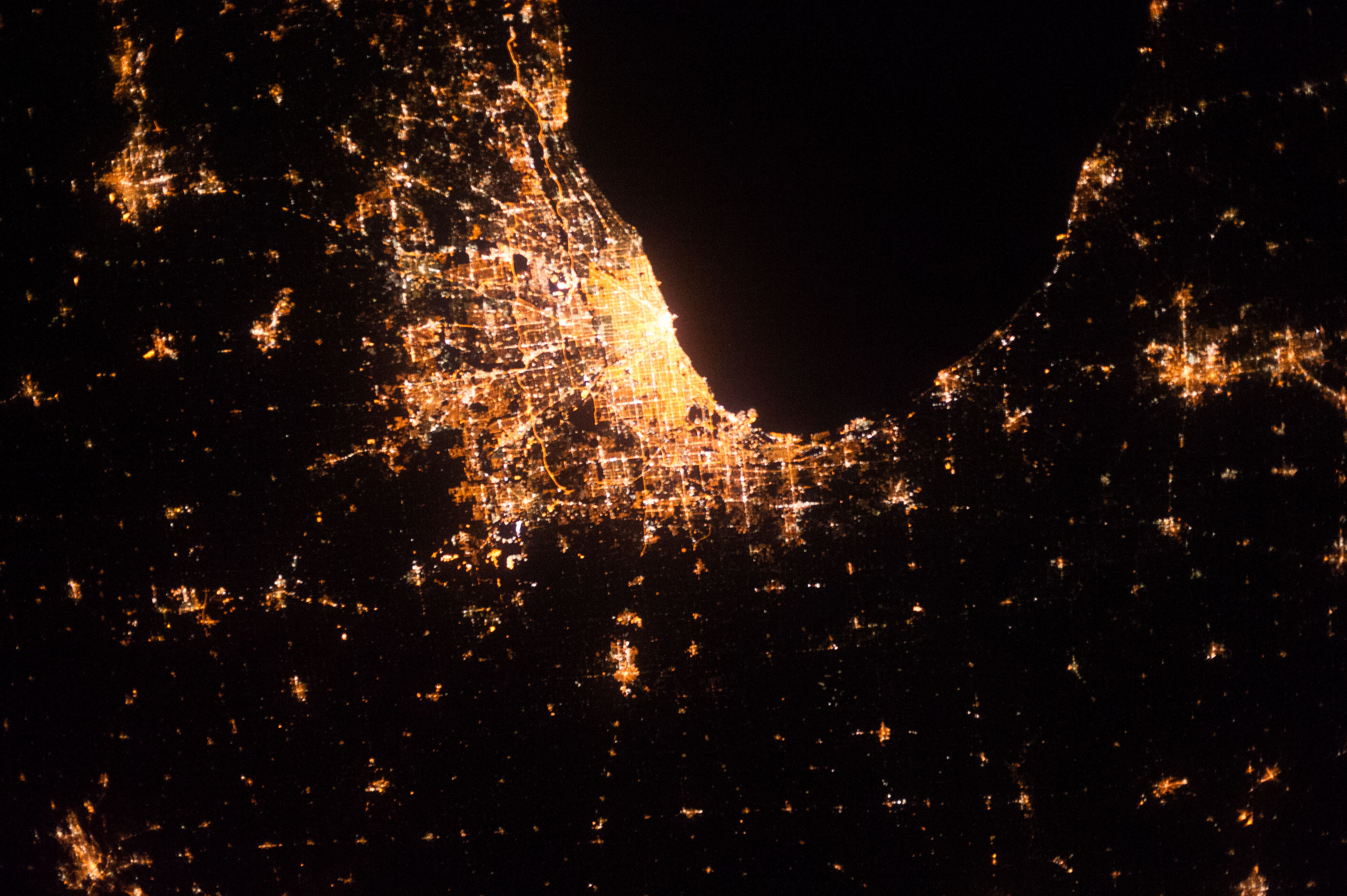
(''City in a Garden''); I Will , image_map = , map_caption = Interactive Map of Chicago , coordinates = , coordinates_footnotes = , subdivision_type = Country , subdivision_name = United States , subdivision_type1 = State , subdivision_type2 = Counties , subdivision_name1 = Illinois , subdivision_name2 = Cook and DuPage , established_title = Settled , established_date = , established_title2 = Incorporated (city) , established_date2 = , founder = Jean Baptiste Point du Sable , government_type = Mayor–council , governing_body = Chicago City Council , leader_title = Mayor , leader_name = Lori Lightfoot ( D) , leader_title1 = City Clerk , leader_name1 = Anna Valencia ( D) , unit_pref = Imperial , area_footnotes = , area_tot ... [...More Info...] [...Related Items...] OR: [Wikipedia] [Google] [Baidu] |
Chicago Portage
The Chicago Portage was an ancient portage that connected the Great Lakes waterway system with the Mississippi River system. Connecting these two great water trails meant comparatively easy access from the mouth of the Saint Lawrence River, St Lawrence River on the Atlantic Ocean to the Rocky Mountains, and the Gulf of Mexico. The approximately six-mile link had been used by Native Americans in the United States, Native Americans for thousands of years during the Pre-Columbian era, Pre-Columbian era for travel and trade. In the summer of 1673 members of the Kaskaskia, a tribe of the Illinois Confederation, led French explorers Louis Jolliet and Jacques Marquette, Father Jacques Marquette, the first known Europeans to explore this part of North America, to the portage. A strategic location, it became a key to European activity in the Midwest, ultimately leading to the foundation of Chicago. In 1848, the water divide was breached by the Illinois and Michigan Canal, Illinois an ... [...More Info...] [...Related Items...] OR: [Wikipedia] [Google] [Baidu] |
Gallatin County, Illinois
Gallatin County is a county located in the U.S. state of Illinois. According to the 2020 census, it has a population of 4,828, making it the third-least populous county in Illinois. Its county seat is Shawneetown. It is located in the southern portion of Illinois known locally as " Little Egypt". Located at the mouth of the Wabash River, Gallatin County, along with neighboring Posey County, Indiana, and Union County, Kentucky form the tri-point of the Illinois-Indiana-Kentucky Tri-State Area. History Salt production served as the state's first major industry in the early 19th century. Saltworks developed first by Native Americans, and the French had settled at the Great Salt Spring on the south side of the Saline River, about five miles downstream from Equality. Beginning in 1803, salt works were also developed at Half Moon Lick, southwest of Equality on the north side of the Saline River. Half Moon Lick is now on private land, but the Great Salt Springs are on public lands ... [...More Info...] [...Related Items...] OR: [Wikipedia] [Google] [Baidu] |
Lake County, Illinois
Lake County is situated in the northeastern corner of the U.S. state of Illinois, along the shores of Lake Michigan. As of the 2020 census, it has a population of 714,342, making it the third-most populous county in Illinois. Its county seat is Waukegan, the tenth-largest city in Illinois. The county is primarily suburban, with some urban areas and some rural areas. Due to its location, immediately north of Cook County, Lake County is one of the collar counties of the Chicago metropolitan area. Its northern boundary is the Wisconsin state line. According to the 2010 census, Lake County is the second wealthiest county in the state by per capita income, after DuPage County. Additionally, Lake County ranks as the 27th wealthiest county in the nation. The county includes the affluent North Shore communities of Lake Forest, Lake Bluff, and Highland Park, and much of the county's wealth is concentrated in this area, as well as in communities bordering Cook County to the south ... [...More Info...] [...Related Items...] OR: [Wikipedia] [Google] [Baidu] |
Mason County, Illinois
Mason County is a county in the U.S. state of Illinois. According to the 2010 census, it had a population of 14,666. Its county seat is Havana. The county is named in honor of George Mason, a member of the Virginia legislature who campaigned for the adoption of the United States Bill of Rights. History Mason County was created in 1841 out of portions of Tazewell and Menard counties. File:Mason County 1841.png, Mason County at the time of its creation in 1841 Geography According to the U.S. Census Bureau, the county has an area of , of which is land and (4.3%) is water. Mason County is bound on the south by the Sangamon River, and on the west by the Illinois River. These rivers join at the county's southwest tip. The soil covering much of Mason County is very sandy. This was formed during the melting of the Wisconsin Glacier about 10,000 years ago. Meltwater from the glacier deposited large amounts of sand in a delta region near at the junction of the Sangamon and Illin ... [...More Info...] [...Related Items...] OR: [Wikipedia] [Google] [Baidu] |
Sangamon County, Illinois
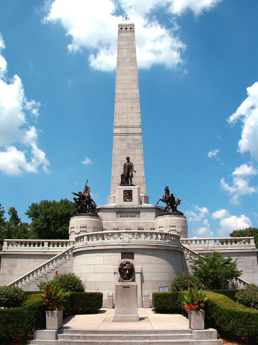
Sangamon County is located in the center of the U.S. state of Illinois. According to the 2010 United States Census, 2010 census, it had a population of 197,465. Its county seat and largest city is Springfield, Illinois, Springfield, the List of capitals in the United States, state capital. Sangamon County is included in the Springfield, IL Springfield metropolitan area, Illinois, Metropolitan Statistical Area. History Sangamon County was formed in 1821 out of Madison County, Illinois, Madison and Bond County, Illinois, Bond counties. The county was named for the Sangamon River, which runs through it. The origin of the name of the river is unknown; among several explanations is the theory that it comes from the Pottawatomie word ''Sain-guee-mon'' (pronounced "sang gä mun"), meaning "where there is plenty to eat." Published histories of neighboring Menard County (formed from Sangamon County) suggest that the name was first given to the river by the French explorers of the l ... [...More Info...] [...Related Items...] OR: [Wikipedia] [Google] [Baidu] |


