|
Minety
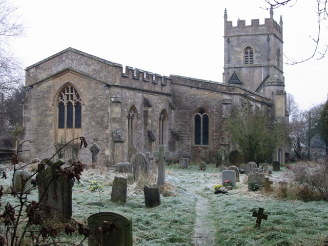
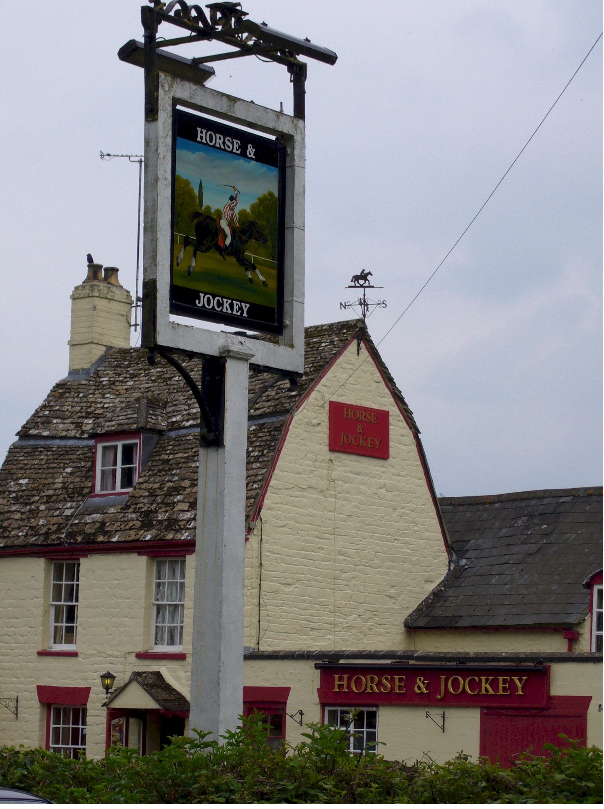
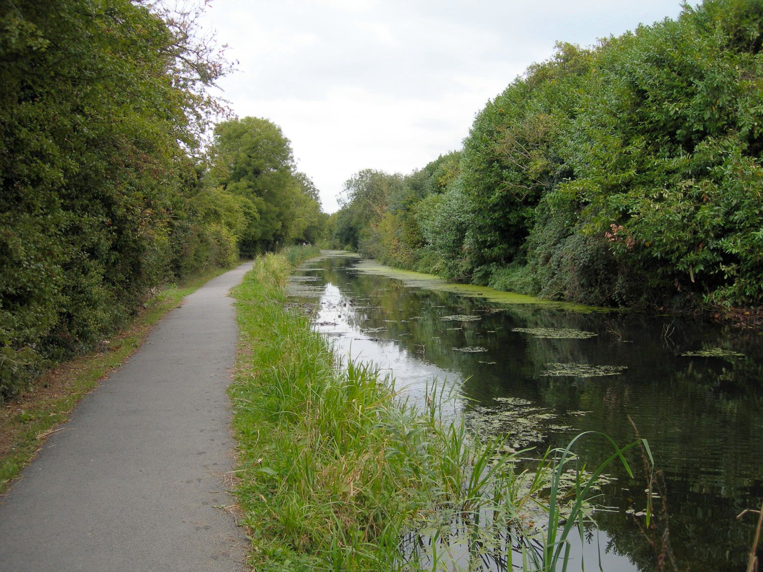
Minety is a village in north Wiltshire, England, between Malmesbury – to the west – and Swindon. It takes its name from the water mint plant found growing in ditches around the village, and has previously been known as Myntey. It has a primary school and a successful rugby club. Geography The village is divided into Upper Minety, with St Leonard's church, and Lower Minety (or simply Minety) which grew after the railway arrived. The civil parish includes the hamlets of Brandier, Lower Moor and the former hamlet of Sawyers Hill, now part of Minety village. Swill Brook forms part of the northern boundary of the parish and joins the infant River Thames a short distance outside the parish, near Ashton Keynes. Acres Farm Meadow is a biological Site of Special Scientific Interest. The Battery storage power station#Minety Battery Energy Storage Project, Minety Battery Energy Storage Project, about west of the village, was the largest grid-connected battery in Europe when it began ... [...More Info...] [...Related Items...] OR: [Wikipedia] [Google] [Baidu] |
Battery Storage Power Station
A battery storage power station is a type of energy storage power station that uses a group of batteries to store electrical energy. Battery storage is the fastest responding dispatchable source of power on electric grids, and it is used to stabilise those grids, as battery storage can transition from standby to full power within milliseconds to deal with grid failures. At full rated power, battery storage power stations are generally designed to output for up to a few hours. Battery storage can be used for short-term peak power and ancillary services, such as providing operating reserve and frequency control to minimize the chance of power outages. They are often installed at, or close to, other active or disused power stations and may share the same grid connection to reduce costs. Since battery storage plants require no deliveries of fuel, are compact compared to generating stations and have no chimneys or large cooling systems, they can be rapidly installed and placed if n ... [...More Info...] [...Related Items...] OR: [Wikipedia] [Google] [Baidu] |
Ashton Keynes
Ashton Keynes is a village and civil parish in north Wiltshire, England which borders with Gloucestershire. The village is about south of Cirencester and west of Cricklade. At the 2011 census the population of the parish, which includes the hamlet of North End, was 1,400. The village lies within the Cotswold Water Park and is the only settlement substantially on both sides of the River Thames, which has many channels here, centred from its source at Thames Head. History A Romano-British settlement and field system was west of the present-day village, spanning the county boundary; it was investigated in 1971 before it was destroyed by gravel extraction. 'Ashton' comes from the Old English ''Æsctūn'', meaning 'place or settlement where ash trees grew'. In 1086, land at ''Essitone'' held by Cranborne Priory (Dorset) was recorded in the Domesday Book within Cricklade hundred. The land was transferred to the recently founded Tewkesbury Abbey (Gloucestershire) in 1102. Ashton ... [...More Info...] [...Related Items...] OR: [Wikipedia] [Google] [Baidu] |
Brandier
Brandier is a hamlet in north Wiltshire, England, near Minety. Sometimes included as a part of 'Upper Minety'. Until the Counties Act of 1844, it was in Gloucestershire. Historically Brandier was the site of extensive Roman kilns and potteries which supplied the nearby regional capital of Corinium (Cirencester) with ceramic building materials. 'Minety Ware' was in production until at least the medieval period and has been found as far afield as Germany. The hamlet once stood at a crossroads, one road of which, Crow Lane, is now a public right of way. The other, where Crossing Lane is today, roughly corresponds to the Roman road leading to Cirencester, where it connects with the Fosse Way The Fosse Way was a Roman road built in Britain during the first and second centuries AD that linked Isca Dumnoniorum (Exeter) in the southwest and Lindum Colonia (Lincoln) to the northeast, via Lindinis (Ilchester), Aquae Sulis ( Bath), Corini .... The largest dwelling in the hamlet is Br ... [...More Info...] [...Related Items...] OR: [Wikipedia] [Google] [Baidu] |
Counties (Detached Parts) Act 1844
The Counties (Detached Parts) Act 1844 (7 & 8 Vict. c. 61), which came into effect on 20 October 1844, was an Act of Parliament of the United Kingdom which eliminated many outliers or exclaves of counties in England and Wales for civil purposes. The changes were based on recommendations by a boundary commission, headed by the surveyor Thomas Drummond and summarized in a schedule attached to the Parliamentary Boundaries Act 1832. This also listed a few examples of civil parishes divided by county boundaries, most of which were dealt with by later legislation. Antecedents Inclosure Acts The areas involved had already been reorganised for some purposes. This was a process which began with the Inclosure Acts of the later 18th century. A parish on a county boundary which used the open-field system could have its field strips distributed among the two counties in a very complicated way. Enclosure could rationalise the boundary in the process of re-distributing land to the various lan ... [...More Info...] [...Related Items...] OR: [Wikipedia] [Google] [Baidu] |
North Wiltshire (UK Parliament Constituency)
North Wiltshire is a constituency represented in the House of Commons of the UK Parliament since 1997 by James Gray, a Conservative. In the period 1832–1983, this was an alternative name for Chippenham or the Northern Division of Wiltshire and as Chippenham dates to the original countrywide Parliament, the Model Parliament, this period is covered in more detail in that article. In 2016 it was announced that the North Wiltshire constituency would be scrapped as part of the planned 2018 Constituency Reforms. Boundaries 1832–1885: The Hundreds of Chippenham, North Damerham, Bradford, Melksham, Potterne and Cannings, Calne, Selkley, Ramsbury, Whorwelsdown, Swanborough, Highworth, Cricklade and Staple, Kingsbridge, and Malmesbury. 1983–1997: The District of North Wiltshire. 1997–2010: The District of North Wiltshire wards of Allington, Ashton Keynes, Audley, Avon, Box, Bremhill, Brinkworth, Colerne, Corsham, Crudwell, Hill Rise, Hilmarton, Kington Langley, Kington St Micha ... [...More Info...] [...Related Items...] OR: [Wikipedia] [Google] [Baidu] |
List Of Hundreds Of England And Wales
Most of the counties of England were divided into hundreds or wapentakes from the late Anglo-Saxon period and these were, with a few exceptions, effectively abandoned as administrative divisions in the 19th century. In Wales a similar Celtic system of division called cantrefi (a hundred farmsteads) had existed for centuries and was of particular importance in the administration of the Welsh law. Following the Laws in Wales Acts 1535 and 1542, Wales was divided into hundreds to be consistent with England. Bedfordshire *Barford *Biggleswade *Clifton *Flitt *Manshead *Redbornestoke *Stodden * Willey *Wixamtree Berkshire The County of Berkshire comprised 20 Hundreds and 193 parishes and parts of four others. From The National Gazetteer of Britain and Ireland' (1868), ''Victoria County History Berkshire'' Vol 3 (1923) & Vol 4 (1924) Buckinghamshire Until at least the time of the Domesday Survey in 1086 there were 18 hundreds in Buckinghamshire. It has been suggested however ... [...More Info...] [...Related Items...] OR: [Wikipedia] [Google] [Baidu] |
Acres Farm Meadow
Acres Farm Meadow () is a 4.2 hectare biological Site of Special Scientific Interest (SSSI) in Wiltshire, notified in 1989. It lies between the villages of Somerford Keynes and Minety. The SSSI is the former site of a mediaeval ridge and furrow system which lies on the Upper Jurassic Oxford Clay. The site is home to grasses, sedges and herbs. Trees such as oak, maple, English elm (when notified, prior to Dutch elm disease) and hawthorn can be found in the hedgerows on the site, which provide nesting sites for lesser whitethroat, willow warbler, yellowhammer and bullfinch Bullfinch is a name given to two groups of passerine birds. True bullfinches The true bullfinches are thick-billed finches in the passerine family Fringillidae. They comprise the genus ''Pyrrhula''. These birds are restricted to the Old World, an .... References External links *https://designatedsites.naturalengland.org.uk/ Natural England (SSSI information) Sites of Special Scientific Interest in Wiltsh ... [...More Info...] [...Related Items...] OR: [Wikipedia] [Google] [Baidu] |
Swindon
Swindon () is a town and unitary authority with Borough status in the United Kingdom, borough status in Wiltshire, England. As of the 2021 Census, the population of Swindon was 201,669, making it the largest town in the county. The Swindon unitary authority area had a population of 233,410 as of 2021. Located in South West England, the town lies between Bristol, 35 miles (56 kilometres) to its west, and Reading, Berkshire, Reading, equidistant to its east. Recorded in the 1086 Domesday Book as ''Suindune'', it was a small market town until the mid-19th century, when it was selected as the principal site for the Great Western Railway's repair and maintenance Swindon Works, works, leading to a marked increase in its population. The new town constructed for the railway workers produced forward-looking amenities such as the UK’s first lending library and a ‘cradle-to-grave' health care centre that was later used as a blueprint for the National Health Service, NHS. After the W ... [...More Info...] [...Related Items...] OR: [Wikipedia] [Google] [Baidu] |
Parish Councils In England
Parish councils are civil local authorities found in England which are the lowest tier of local government. They are elected corporate bodies, with variable tax raising powers, and they carry out beneficial public activities in geographical areas known as civil parishes. There are about 9,000 parish and town councils in England, and over 16 million people live in communities served by them. Parish councils may be known by different styles, they may resolve to call themselves a town council, village council, community council, neighbourhood council, or if the parish has city status, it may call itself a city council. However their powers and duties are the same whatever name they carry.Local Government and Public Involvement in Health Act 2007 Parish councils receive the majority of their funding by levying a precept upon the council tax paid by the residents of the parish (or parishes) covered by the council. In 2021-22 the amount raised by precept was £616 million. Other fund ... [...More Info...] [...Related Items...] OR: [Wikipedia] [Google] [Baidu] |
Unitary Authority
A unitary authority is a local authority responsible for all local government functions within its area or performing additional functions that elsewhere are usually performed by a higher level of sub-national government or the national government. Typically unitary authorities cover towns or cities which are large enough to function independently of a council or other authority. An authority can be a unit of a county or combined authority. Canada In Canada, each province creates its own system of local government, so terminology varies substantially. In certain provinces (e.g. Alberta, Nova Scotia) there is ''only'' one level of local government in that province, so no special term is used to describe the situation. British Columbia has only one such municipality, Northern Rockies Regional Municipality, which was established in 2009. In Ontario the term single-tier municipalities is used, for a similar concept. Their character varies, and while most function as cities with ... [...More Info...] [...Related Items...] OR: [Wikipedia] [Google] [Baidu] |
Wiltshire Council
Wiltshire Council is a council for the unitary authority of Wiltshire (excluding the separate unitary authority of Swindon) in South West England, created in 2009. It is the successor authority to Wiltshire County Council (1889–2009) and the four district councils of Kennet, North Wiltshire, Salisbury, and West Wiltshire, all of which were created in 1974 and abolished in 2009. Establishment of the unitary authority The ceremonial county of Wiltshire consists of two unitary authority areas, Wiltshire and Swindon, administered respectively by Wiltshire Council and Swindon Borough Council. Before 2009, Wiltshire was administered as a non-metropolitan county by Wiltshire County Council, with four districts, Kennet, North Wiltshire, Salisbury, and West Wiltshire. Swindon, in the north of the county, had been a separate unitary authority since 1997, and on 5 December 2007 the Government announced that the rest of Wiltshire would move to unitary status. This was later put in ... [...More Info...] [...Related Items...] OR: [Wikipedia] [Google] [Baidu] |


