|
Mickletown
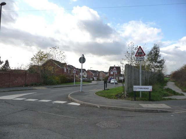
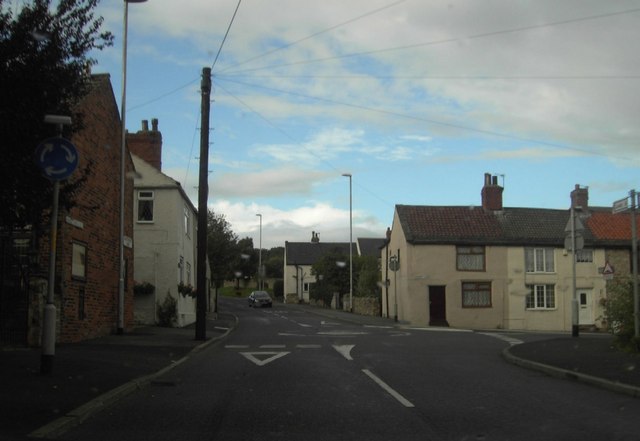
Mickletown is a district within the village of Methley, south of Leeds, West Yorkshire, England. The Leeds Country Way and the Trans Pennine Trail The Trans Pennine Trail is a long-distance path running from coast to coast across Northern England entirely on surfaced paths and using only gentle gradients (it runs largely along disused railway lines and canal towpaths). It forms part of ... both pass Mickletown. Location grid External links * Mickletown was in this parish Places in Leeds Rothwell, West Yorkshire {{WestYorkshire-geo-stub ... [...More Info...] [...Related Items...] OR: [Wikipedia] [Google] [Baidu] |
Methley
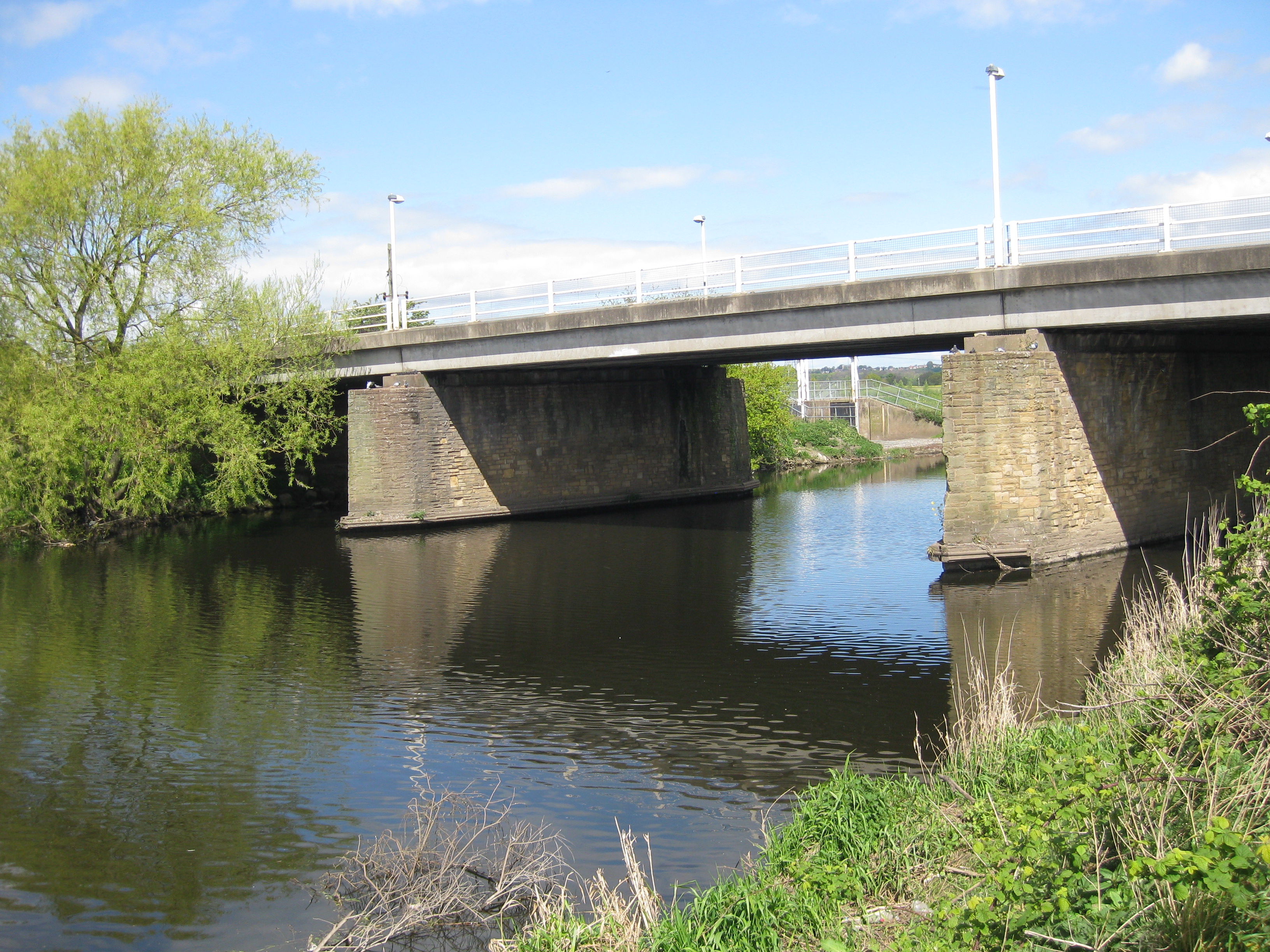
Methley is a dispersed village in the City of Leeds metropolitan borough, south east of Leeds, West Yorkshire, England. It is located near Rothwell, Oulton, Woodlesford, Mickletown and Allerton Bywater. The Leeds City Ward is called Kippax and Methley. It is within the triangle formed by Leeds, Castleford and Wakefield, and between the confluence of the River Aire and River Calder. The latter is crossed by Methley Bridge, the A639 road, () about a mile south-east of the village. Location and history Today, the village is often described in terms of the area around Church Lane, Main Street and Pinfold Lane. However, the buildings on these streets largely date from the 20th century – and this area does not represent the original geographical centre of the village. The original village was established near to Saint Oswald's Church, and in particular along Church Side. This is reflected in the 17th- and 18th-century buildings along Churchside and parts of Watergate.Leeds Ci ... [...More Info...] [...Related Items...] OR: [Wikipedia] [Google] [Baidu] |
Leeds Country Way
The Leeds Country Way is a circular long-distance footpath of 62 miles (99 km) around Leeds, West Yorkshire, England. It is never more than 7 miles (11 km) from City Square, Leeds, but is mainly rural with extensive views in the outlying areas of the Leeds metropolitan district. It follows public Rights of Way including footpaths, bridleways and minor lanes, with a few short sections along roads. History A route was first devised by Fred Andrews of the Ramblers Association, and then developed by ''West Yorkshire County Council'' in the early 1980s. This council was abolished in 1986, and the path is now under the care of the Countryside section of Leeds City Council. The Leeds Country Way was realigned in 2006, using a route devised by Bob Brewster, to bring it entirely within the boundary of the Leeds metropolitan district (previously it crossed the boundary into Wakefield), and the path was officially relaunched on 26 September 2006 with a revised set ... [...More Info...] [...Related Items...] OR: [Wikipedia] [Google] [Baidu] |
Great Preston
Great Preston is a small rural village in the City of Leeds metropolitan borough, West Yorkshire, England. It has incorporated the once neighbouring hamlet of Little Preston. Location Great Preston is situated 9 miles south east of Leeds city centre and is 2 miles south of the town Garforth. The villages of Kippax and Swillington are also in close proximity, and, due to development of land into housing to the south of the village, Great Preston now borders Allerton Bywater. The village is in the LS26 Leeds postcode area, and forms part of the civil parish of Great and Little Preston, which had a population of 1,463 at the 2011 Census. Etymology The name of Great Preston is first attested in the Domesday Book of 1086, in the form ''Prestun'' and similar variants. The name comes from the Old English words ''prēost'' ('priest') and ''tūn'' ('farmstead, estate'). Thus it once meant 'estate belonging to a priest'. The name ''Little Preston'', coined to differentiate this settl ... [...More Info...] [...Related Items...] OR: [Wikipedia] [Google] [Baidu] |
Allerton Bywater
Allerton Bywater is a semi-rural village and civil parish in the south-east of the City of Leeds metropolitan borough in West Yorkshire, England. The population of the civil parish at the 2011 census was 4,717. The village itself is north of Castleford, with neighbouring villages Kippax and Great Preston all providing local amenities. St Aidan's Nature reserve borders the village attracting many visitors with its beauty and charm. Additionally "The Lines Way" bridle path which runs from Garforth through to Allerton following the old train track provides a pleasant route for walkers, joggers and cyclists alike. The River Aire flows through the village to the south-west. Allerton Bywater is built up of several smaller communities, mainly old mining villages such as Brigshaw, Hollinhurst and Bowers Row. Etymology The name ''Allerton'' is first attested in the Domesday Book, in the forms ''Alretun'', ''Alretune'' and ''Alretona''. It comes from the Old English word ''alor'' ... [...More Info...] [...Related Items...] OR: [Wikipedia] [Google] [Baidu] |
Places In Leeds
City of Leeds, West Yorkshire is a large city in England that includes several separate towns and villages and many other identifiable areas. Divisions of Leeds The metropolitan borough is divided into 33 wards, each of which elects three members of Leeds City Council. The ward boundaries were last reorganised in 2004. A map of the wards is available on the council website, as is a postcode-to-ward tool. Leeds is represented by eight Members of Parliament. Since boundary changes made before the 2010 general election, the constituencies are Elmet and Rothwell, Leeds Central, Leeds East, Leeds North East, Leeds North West, Leeds West, Morley and Outwood (three out of five wards) and Pudsey. The constituency boundaries coincide with ward boundaries, so that each constituency comprises four or five complete wards; the Morley and Outwood constituency includes three Leeds wards and two Wakefield wards. Leeds City Council divides the city into ten "Management areas" (Inner and Outer ... [...More Info...] [...Related Items...] OR: [Wikipedia] [Google] [Baidu] |
New Housing Estate, Mickletown - Geograph
New is an adjective referring to something recently made, discovered, or created. New or NEW may refer to: Music * New, singer of K-pop group The Boyz Albums and EPs * ''New'' (album), by Paul McCartney, 2013 * ''New'' (EP), by Regurgitator, 1995 Songs * "New" (Daya song), 2017 * "New" (Paul McCartney song), 2013 * "New" (No Doubt song), 1999 *"new", by Loona from '' Yves'', 2017 *"The New", by Interpol from ''Turn On the Bright Lights'', 2002 Acronyms * Net economic welfare, a proposed macroeconomic indicator * Net explosive weight, also known as net explosive quantity * Network of enlightened Women, a conservative university women's organization * Next Entertainment World, a South Korean film distribution company Identification codes * Nepal Bhasa language ISO 639 language code * New Century Financial Corporation (NYSE stock abbreviation) * Northeast Wrestling, a professional wrestling promotion in the northeastern United States Transport * New Orleans Lakefront Ai ... [...More Info...] [...Related Items...] OR: [Wikipedia] [Google] [Baidu] |
Leeds
Leeds () is a city and the administrative centre of the City of Leeds district in West Yorkshire, England. It is built around the River Aire and is in the eastern foothills of the Pennines. It is also the third-largest settlement (by population) in England, after London and Birmingham. The city was a small manorial borough in the 13th century and a market town in the 16th century. It expanded by becoming a major production centre, including of carbonated water where it was invented in the 1760s, and trading centre (mainly with wool) for the 17th and 18th centuries. It was a major mill town during the Industrial Revolution. It was also known for its flax industry, iron foundries, engineering and printing, as well as shopping, with several surviving Victorian era arcades, such as Kirkgate Market. City status was awarded in 1893, a populous urban centre formed in the following century which absorbed surrounding villages and overtook the nearby York population. It is locate ... [...More Info...] [...Related Items...] OR: [Wikipedia] [Google] [Baidu] |
West Yorkshire
West Yorkshire is a metropolitan and ceremonial county in the Yorkshire and Humber Region of England. It is an inland and upland county having eastward-draining valleys while taking in the moors of the Pennines. West Yorkshire came into existence as a metropolitan county in 1974 after the reorganisation of the Local Government Act 1972 which saw it formed from a large part of the West Riding of Yorkshire. The county had a recorded population of 2.3 million in the 2011 Census making it the fourth-largest by population in England. The largest towns are Huddersfield, Castleford, Batley, Bingley, Pontefract, Halifax, Brighouse, Keighley, Pudsey, Morley and Dewsbury. The three cities of West Yorkshire are Bradford, Leeds and Wakefield. West Yorkshire consists of five metropolitan boroughs (City of Bradford, Calderdale, Kirklees, City of Leeds and City of Wakefield); it is bordered by the counties of Derbyshire to the south, Greater Manchester to the south-west, Lancash ... [...More Info...] [...Related Items...] OR: [Wikipedia] [Google] [Baidu] |
Trans Pennine Trail
The Trans Pennine Trail is a long-distance path running from coast to coast across Northern England entirely on surfaced paths and using only gentle gradients (it runs largely along disused railway lines and canal towpaths). It forms part of European walking route E8 and is part of the National Cycle Network as Route 62 (referencing the M62 motorway which also crosses the Pennines). Most of the surfaces and gradients make it a relatively easy trail, suitable for cyclists, pushchairs and wheelchair users. The section between Stockport and Barnsley is hilly, especially near Woodhead, and not all sections or barriers are accessible for users of wheelchairs or non-standard cycles. Some parts are also open to horse riding. The trail is administered from a central office in Barnsley, which is responsible for promotion and allocation of funding. However, the twenty-seven local authorities whose areas the trail runs through are responsible for management of the trail within their bo ... [...More Info...] [...Related Items...] OR: [Wikipedia] [Google] [Baidu] |
Ackton
Ackton is a hamlet near Pontefract in the English county of West Yorkshire. Historically part of the West Riding of Yorkshire, the name "Ackton" means "oak-tree farmstead". It is formed from the Old Scandinavian word ''eik'' ("oak-tree") and the Old English word ''tūn'' ("farmstead, village, enclosure"). The first element of the name indicates the presence of settlers from Scandinavia in Ackton whose dialect influenced the name of the settlement. Ackton appeared as ''Aitone'' in the Domesday Book Domesday Book () – the Middle English spelling of "Doomsday Book" – is a manuscript record of the "Great Survey" of much of England and parts of Wales completed in 1086 by order of King William I, known as William the Conqueror. The manusc ... of 1086. The village is mentioned again, this time more correctly, as ''Aicton''. References External links * * Hamlets in West Yorkshire Featherstone {{WestYorkshire-geo-stub ... [...More Info...] [...Related Items...] OR: [Wikipedia] [Google] [Baidu] |
GENUKI
GENUKI is a genealogy web portal, run as a charitable trust. It "provides a virtual reference library of genealogical information of particular relevance to the UK and Ireland". It gives access to a large collection of information, with the emphasis on primary sources, or means to access them, rather than on existing genealogical research. Name The name derives from "GENealogy of the UK and Ireland", although its coverage is wider than this. From the GENUKI website: Structure The website has a well defined structure at four levels. * The first level is information that is common to all "the United Kingdom and Ireland". * The next level has information for each of England (see example) Ireland, Scotland, Wales, the Channel Islands and the Isle of Man. * The third level has information on each pre-1974 county of England and Wales, each of the pre-1975 counties of Scotland, each of the 32 counties of Ireland and each island of the Channel Islands (e.g. Cheshire, County Kerry and G ... [...More Info...] [...Related Items...] OR: [Wikipedia] [Google] [Baidu] |


.jpg)
