|
Merrylands Railway Station
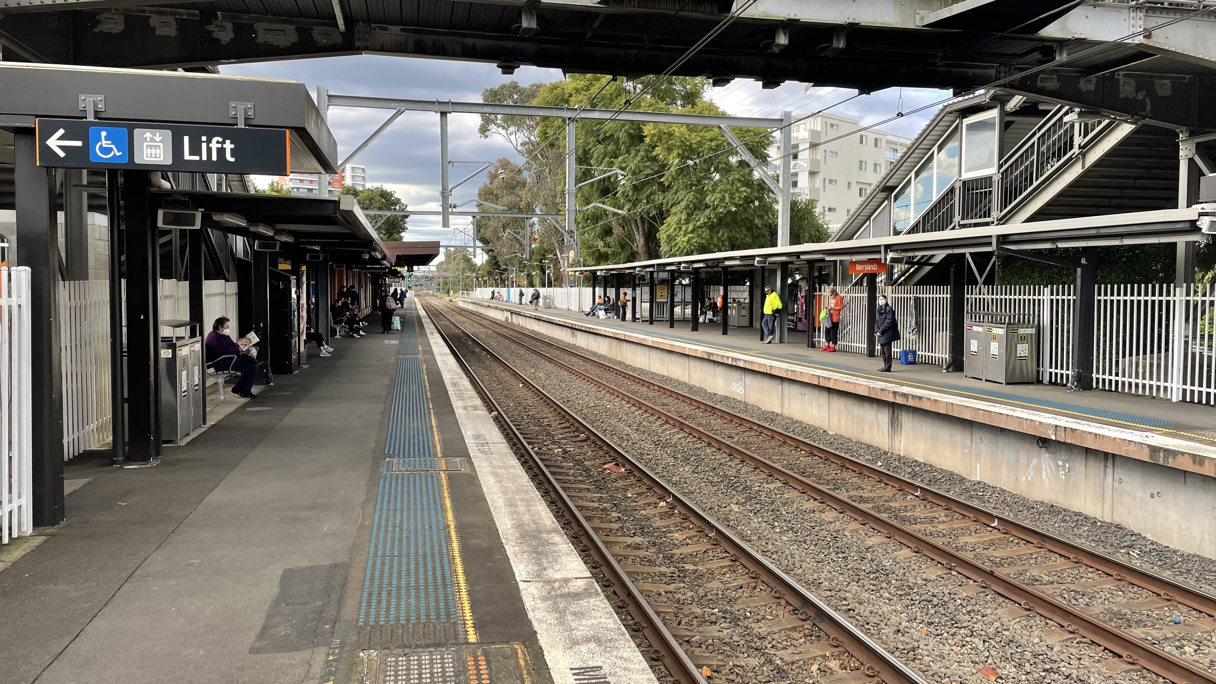
Merrylands railway station is located on the Main South line, serving the Sydney suburb of Merrylands. It is served by Sydney Trains T2 Inner West & Leppington and T5 Cumberland line services. History Merrylands station opened on 6 July 1878. In 1969, the Merrylands Road level crossing to the south of the station was replaced by the Mombri Street overpass to the north. In 1972, the signal box at Merrylands closed with operations transferred to Granville signal box. On 2 November 1996, the Merrylands to Harris Park Y-Link opened allowing direct train operation between these two stations by what is now known as the Cumberland Line. The station was upgraded in 2006, with lifts added for easy access. Until at least the mid-1990s, sidings existed to the north-west of the station to serve a flour mill. Platforms & services Transport links Merrylands Bus Interchange Stand 1: Transit Systems Sydney *809: to Pemulwuy via Hilltop and South Wentworthville, then continues to Pa ... [...More Info...] [...Related Items...] OR: [Wikipedia] [Google] [Baidu] |
Merrylands
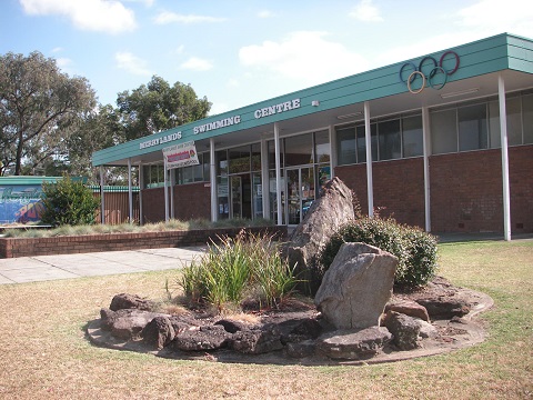
Merrylands is a suburb in Western Sydney, Australia. Merrylands is located 25 kilometres west of the Sydney central business district and is in the local government area of the Cumberland City Council. History Merrylands was named after the former English home of Arthur Todd Holroyd (1806–1887), who acquired land in this area in 1855 and who gave his name to the adjoining suburb of Holroyd. Commercial area Merrylands has a commercial area around Merrylands railway station in Merrylands Road, which mainly feature art deco style of buildings constructed in the 1930s and 1940s and is ornamented by a couple of London planetrees. Stockland Merrylands is a shopping centre with supermarkets, discount department stores and specialty shops. Transport The Merrylands railway station is serviced by the Inner West & Leppington and Cumberland lines of the Sydney Trains network. There is unlimited parking for commuters. It is on the bus route from Liverpool to Parramatta. Main transport co ... [...More Info...] [...Related Items...] OR: [Wikipedia] [Google] [Baidu] |
Leppington Railway Station
Leppington railway station is the terminus of the South West Rail Link which serves the south-western Sydney suburb of Leppington. It opened on 8 February 2015. A ten road stabling facility is located to the west of the station at Rossmore. There are 850 car park spaces available. Platforms and services Leppington has two island platforms with four faces. Initial services consisted of a half-hourly shuttle to Liverpool. From 13 December 2015, trains operate directly to the city via Granville. From 26 November 2017, Cumberland Line services stop at the station, providing a link to Parramatta, Blacktown, Schofields and Richmond. Transport links Interline Bus Services operate three routes via Leppington station: *855: Liverpool station to Bringelly *856: Liverpool station to Austral *858: to Oran Park Busabout operate one route via Leppington station: *841: to Narellan Narellan is a suburb of Sydney, New South Wales. Narellan is located 60 kilometres south-west of the ... [...More Info...] [...Related Items...] OR: [Wikipedia] [Google] [Baidu] |
Guildford West, New South Wales
Guildford West is a suburb of Sydney, in the state of New South Wales, Australia that is located 26 kilometres west of the Sydney central business district, in the local government area of the Cumberland City Council and is part of the Greater Western Sydney region. Guildford West shares the postcode of 2161 with the separate suburbs of Guildford and Old Guildford. Commercial area Although small in size, Fairfield Road and Fowler Road act as the suburb's ' main streets' with a few restaurants, convenient stores, a post office, a 7-Eleven, a large bar called Crown On McCredie, and a Cheesecake Shop outlet. Fairfield town centre, which features a shopping mall, and the Guildford main street in Guildford Road are equidistant to the residential area of Guildford West, with some areas being more adjacent to the Fairfield town centre, which can be accessed from Fairfield Road, a street which features a few industrial facilities. Recreational areas The suburb features large sports gro ... [...More Info...] [...Related Items...] OR: [Wikipedia] [Google] [Baidu] |
Auburn, New South Wales
Auburn is a Western Sydney suburb in the state of New South Wales, Australia. Auburn is located west of the Sydney central business district and is in the local government area of Cumberland City Council, having previously been the administrative centre of Auburn Council. The suburb was named after Oliver Goldsmith's poem ''The Deserted Village'', which describes 'Auburn' in England as the "loveliest village of the plain". Auburn prides itself as one of the most multicultural communities in Australia, being home to a high percentage of immigrants from Afghan, Turkish, Lebanese, and Chinese backgrounds. History Origins The Auburn area was once used by Aboriginal people as a market place for the exchange of goods, a site for ritual battles and a 'Law Place' for ceremonies. The area was located on the border between the Darug inland group and the Eora/Dharawal coastal group. The Wangal and Wategoro, sub-groups or clans, are the groups most often recognised as the original inha ... [...More Info...] [...Related Items...] OR: [Wikipedia] [Google] [Baidu] |
Bankstown
Bankstown is a suburb south west of Sydney, in the state of New South Wales, Australia. It is 16 kilometres south-west of the Sydney central business district and is located in the local government area of the City of Canterbury-Bankstown, having previously been the administrative centre of the City of Bankstown prior to 2016. It is the most populous suburb within the City of Canterbury-Bankstown. History Before European settlement, Cumberland Plains Woodland occupied much of the area. Turpentine ironbark forest covered much of what is now Bankstown. The land was occupied by the Bediagal people. Their land bordered the Dharawal and the Darung people. In 1795, Matthew Flinders and George Bass explored up the Georges River for about beyond what had been previously surveyed, and reported favourably to Governor Hunter of the land on its banks. Hunter examined the country himself, and established one of the pioneer colonies there, called Bank's Town, today written as one word: ... [...More Info...] [...Related Items...] OR: [Wikipedia] [Google] [Baidu] |
Transdev NSW
Transdev NSW is a bus operator in the northern, southern and western suburbs of Sydney, Australia, operating on behalf of Transport for NSW. It is a subsidiary of Transdev Australasia. It is a different subsidiary to Transdev John Holland, which is 75% owned by Transdev and operates in the eastern suburbs of Sydney. With origins tracing back to February 1935, Transdev NSW was renamed from Veolia Transport NSW in July 2013 after the global rebranding of its parent company Veolia Transdev to simply Transdev. During this time, Transdev Shorelink, another Transdev bus operation in Sydney, was absorbed into Transdev NSW. Between November and December 2022, after a competitive tendering process, Transdev NSW was unsuccessful in retaining all of its existing bus operations. Its operations will be taken by bus companies and Transdev NSW will cease to be a public bus operator in August 2023. However, it will still continue to operate charter bus operations. History The origins of t ... [...More Info...] [...Related Items...] OR: [Wikipedia] [Google] [Baidu] |
Abbotsbury, New South Wales
Abbotsbury is a suburb of Sydney, New South Wales, Australia 39 kilometres west of the Sydney central business district in the local government area of the City of Fairfield. Abbotsbury is part of the Greater Western Sydney region. Most of the suburb's estates were built in the late 1980s and early 1990s, although a few acres of undeveloped land in the north-west area was subdivided and developed in the early 2010s. The western border of the suburb is delineated by a line of pine trees, which gives privacy to the homes backing onto the farmlands. History Abbotsbury was named from Major Edward Abbott, a Canadian born soldier who arrived in New South Wales in 1790. Abbott was granted land in what is now Abbotsbury in 1806 although sold it to William Browne in 1810. The estate remained intact until the late 19th century when it was subdivided into small farms and it remained a rural area until the late 20th century when residential subdivision began. The name for the suburb was ap ... [...More Info...] [...Related Items...] OR: [Wikipedia] [Google] [Baidu] |
Prairiewood, New South Wales
Prairiewood is a suburb of Sydney, in the state of New South Wales, Australia 34 kilometres west of the Sydney central business district, in the local government area of the City of Fairfield. It is part of the Greater Western Sydney region. Prairiewood is primarily a residential suburb that is also home to a golf course, Fairfield Showground, schools, a leisure centre and a major shopping centre. History Prairiewood was once a part of Wetherill Park. The area was subdivided and developed in the 1970s as Prairiewood Estate. It later became a suburb and took on the name of the estate.''The Book of Sydney Suburbs'', Compiled by Frances Pollon, Angus & Robertson Publishers, 1990, Published in Australia , page 209 Commercial areas Stockland Wetherill Park is a major shopping centre that is actually located in the north-western corner of Prairiewood. Fairfield Hospital moved to Prairiewood in 1988 from its original location in Fairfield. Culture and recreation Fairfield Golf Cour ... [...More Info...] [...Related Items...] OR: [Wikipedia] [Google] [Baidu] |
Greystanes, New South Wales
Greystanes is a suburb in Greater Western Sydney, New South Wales, Australia. Greystanes is located 25 kilometres west of the Sydney central business district in the local government area of Cumberland Council. Founded in the late 1790s, Greystanes is one of the oldest suburbs in Sydney. History In the early years of British settlement the area was known as Prospect Hill and was the site of the first land grants to emancipated convicts in 1791. In this period it was one of several areas of conflict between the Darug people and the settlers, the Darug people being led for many years of guerrilla warfare by Pemulwuy. The area later became differentiated into Prospect, to the west of Greystanes Creek, and Greystanes to the east of the Creek, the latter taking its name from a historical home on Prospect Hill, built by Nelson Simmons Lawson, third child of Lieutenant William Lawson. The name 'Grey Stanes', given by Nelson Lawson, came from the outcrops of basalt on Prospect Hil ... [...More Info...] [...Related Items...] OR: [Wikipedia] [Google] [Baidu] |
Liverpool, New South Wales
Liverpool is a suburb of Greater Western Sydney, in the state of New South Wales, Australia. It is located approximately south-west of the Sydney CBD. Liverpool is the administrative seat of the local government area of the City of Liverpool and is situated in the Cumberland Plain. History Liverpool is one of the oldest urban settlements in Australia, founded on 7 November 1810 as an agricultural centre by Governor Lachlan Macquarie. He named it after Robert Banks Jenkinson, Earl of Liverpool, who was then the Secretary of State for the Colonies and the English city of Liverpool, upon which some of the area's architecture is based. Liverpool is at the head of navigation of the Georges River and combined with the Great Southern Railway from Sydney to Melbourne reaching Liverpool in the late 1850s, Liverpool became a major agricultural and transportation centre as the land in the district was very productive. Until the 1950s, Liverpool was still a satellite town with an a ... [...More Info...] [...Related Items...] OR: [Wikipedia] [Google] [Baidu] |
Westmead, New South Wales
Westmead is a suburb in Sydney, in the state of New South Wales, Australia. Westmead is located 26 kilometres west of the Sydney central business district in the local government area of Cumberland Council and is part of the Greater Western Sydney region. Geography Westmead is bounded by the Parramatta River, Toongabbie Creek and Finlayson Creek in the north. On the east it is bounded by Parramatta Park, the Parramatta Golf Club, Amos Street and Good Street. The southern boundary is the Great Western Highway. The western boundary is Bridge Road, the railway line and Finlayson Creek. History With the British settlement of Parramatta, Westmead was originally part of the domain of Government House. What is left of this domain, including Government House, form Parramatta Park. The name Westmead came into use when the governor's domain was first subdivided in 1859. The subdivision of the domain was completed in 1889. The Northern Meadow and Western Meadow of the domain were split ... [...More Info...] [...Related Items...] OR: [Wikipedia] [Google] [Baidu] |
Parramatta
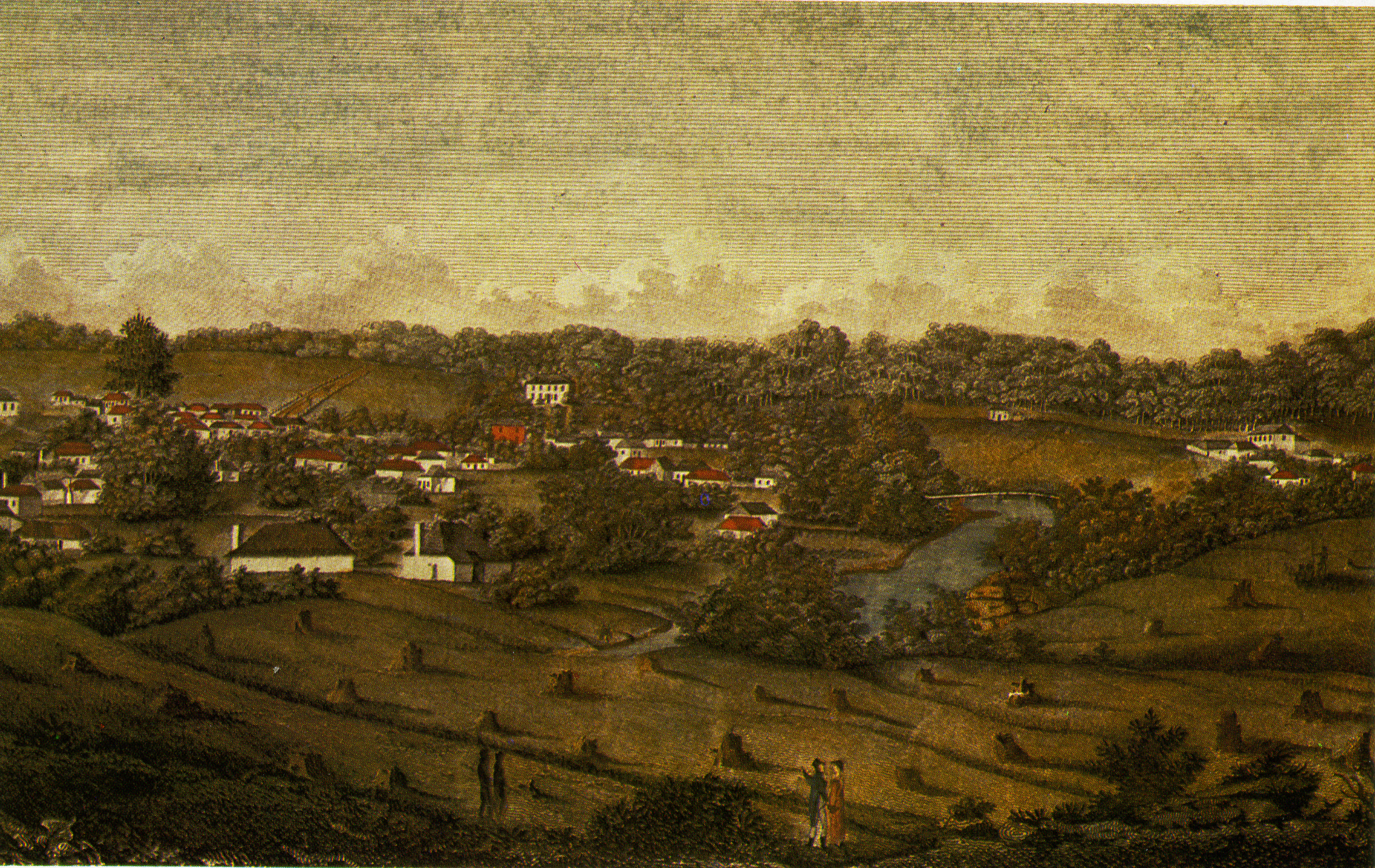
Parramatta () is a suburb and major Central business district, commercial centre in Greater Western Sydney, located in the state of New South Wales, Australia. It is located approximately west of the Sydney central business district on the banks of the Parramatta River. Parramatta is the administrative seat of the Local government areas of New South Wales, local government area of the City of Parramatta and is often regarded as the main business district of Greater Western Sydney. Parramatta also has a long history as a second administrative centre in the Sydney metropolitan region, playing host to a number of state government departments as well as state and federal courts. It is often colloquially referred to as "Parra". Parramatta, founded as a British settlement in 1788, the same year as Sydney, is the oldest inland European settlement in Australia and is the economic centre of Greater Western Sydney. Since 2000, government agencies such as the New South Wales Police Force ... [...More Info...] [...Related Items...] OR: [Wikipedia] [Google] [Baidu] |


