|
Långholmsbron
Långholmsbron (Swedish: "The Long Islet Bridge") is a bridge in central Stockholm, Sweden. Connecting the major island Södermalm to the minor island Långholmen, it forms an extension to the street Bergsundsgatan. The bridge was formerly called ''Spinnhusbron'' ("The spinning house Bridge") in reference to the precursor to the Långholmen prison, and, popularly, ''Suckarnas bro'' ("The Bridge of Sighs"), also in reference to the prison. Its present name stems from 1885. The section of Västerbron, the bridge overpassing Långholmsbron, used to be called Långholmsbron. Most likely, an old wooden bridge was found here by the mid 17th century, as this was the location for a custom house dealing with the ships delivering goods to the city from Lake Mälaren. Nevertheless, it is present on a map dated 1733 and was replaced by a new wooden, four-span truss bridge in 1845, 33 metres long, and 6 metres wide. In 1931, the present three-span steel girder bridge was inaugurated ... [...More Info...] [...Related Items...] OR: [Wikipedia] [Google] [Baidu] |
Långholmsbron Februari 2007
Långholmsbron (Swedish: "The Long Islet Bridge") is a bridge in central Stockholm, Sweden. Connecting the major island Södermalm to the minor island Långholmen, it forms an extension to the street Bergsundsgatan. The bridge was formerly called ''Spinnhusbron'' ("The spinning house Bridge") in reference to the precursor to the Långholmen prison, and, popularly, ''Suckarnas bro'' ("The Bridge of Sighs"), also in reference to the prison. Its present name stems from 1885. The section of Västerbron, the bridge overpassing Långholmsbron, used to be called Långholmsbron. Most likely, an old wooden bridge was found here by the mid 17th century, as this was the location for a custom house dealing with the ships delivering goods to the city from Lake Mälaren. Nevertheless, it is present on a map dated 1733 and was replaced by a new wooden, four-span truss bridge in 1845, 33 metres long, and 6 metres wide. In 1931, the present three-span steel girder bridge was inaugurated ... [...More Info...] [...Related Items...] OR: [Wikipedia] [Google] [Baidu] |
Pålsundsbron
Pålsundsbron (Swedish: "The Pole Sound/Strait Bridge") is a bridge in central Stockholm, Sweden. Stretching over the small water course Pålsundet, the bridge connects the major island Södermalm to the minor island Långholmen. The name ''Pålsundet'', on old maps called ''Påhl Sundet'', or ''Pålsund'', refers to the poles blocking the canal from ships trying to reach central Stockholm without paying the required duty. Also, an iron chain served the same purpose of forcing the ships pay a visit to the custom house (''Winter Tullen'') demolished during the 1930s. The bridge was known as Mälarvarvsbron ("The Mälaren Shipyard Bridge") or more locally ''Varvsbron'' until 1948 when it received its present name. The original bridge on this location, after Långholmsbron the second bridge stretching over Pålsundet, was built in 1907 as a wooden truss bridge. It was 3.8 metres in width, with a total length of 56 metres stretching over eight 7 metres long spans, of which the ... [...More Info...] [...Related Items...] OR: [Wikipedia] [Google] [Baidu] |
Reimersholmsbron
Reimersholmsbron or Reimersbron (Swedish: "The Reimer Islet Bridge") is a bridge in central Stockholm, Sweden, connecting the major island Södermalm to the minor island Reimersholme. The first bridge passing over to Reimersholme is present on a map dated 1819. It is said to have been built by lieutenant general Johan August Sandel in preparation for a visit by Charles XIV. The present bridge was built 1942–43. In contrast to Långholmsbron, the bridge leading over to Långholmen where the Långholmen prison was once located and popularly referred to as ''Suckarnas bro'' ("The Bridge of Sighs"), Reimersholmsbron, which once led to an island which was home to a major distillery, was called ''Kluckarnas bro'' ("The Bridge of Clucks"). References See also * List of bridges in Stockholm * Långholmsbron * Pålsundsbron * Västerbron () is an arch bridge in central Stockholm, Sweden. With a total length exceeding 600 m, 340 m of which stretches over water, it is one of th ... [...More Info...] [...Related Items...] OR: [Wikipedia] [Google] [Baidu] |
Långholmen
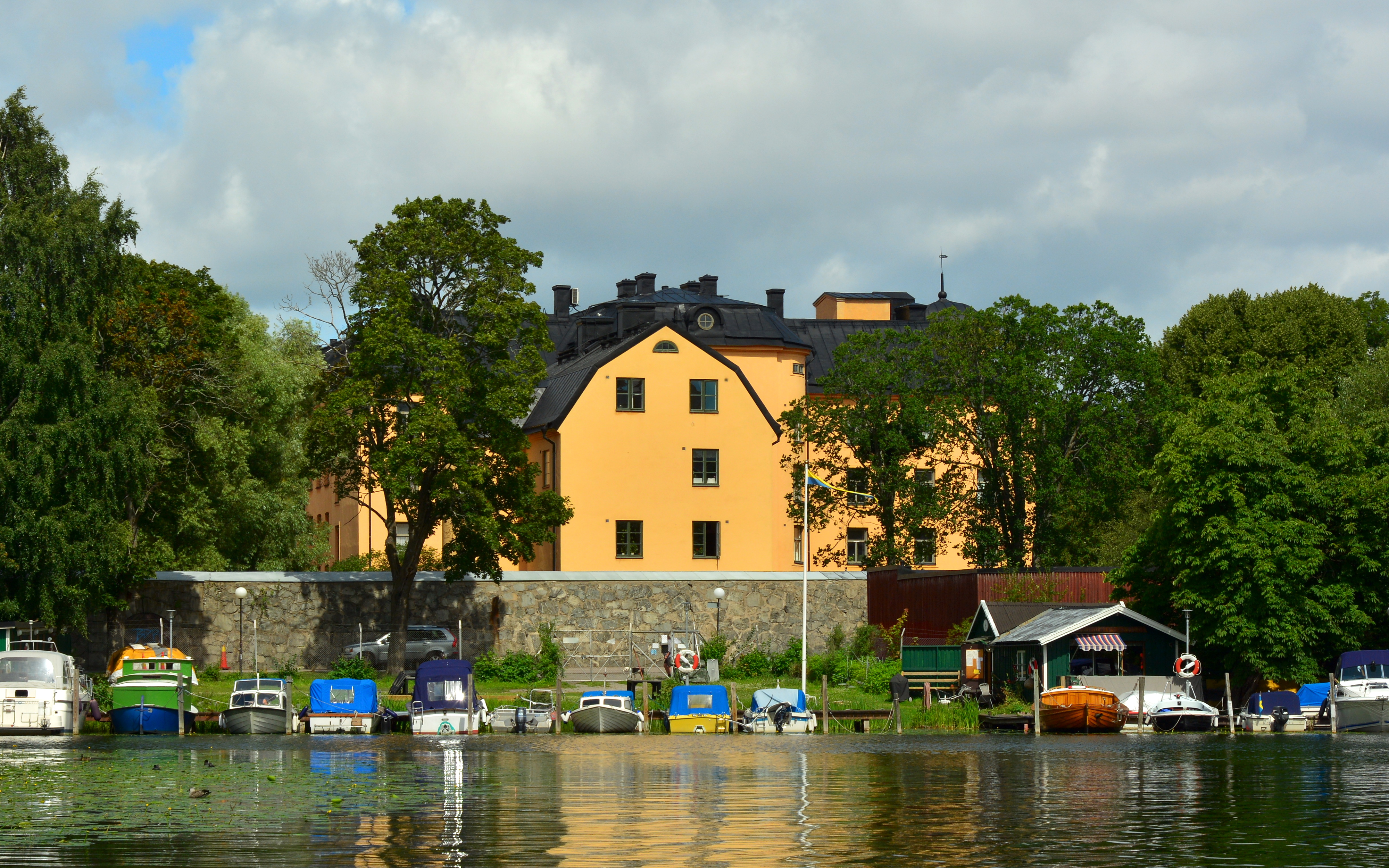
Långholmen is an island between two other islands, Södermalm and Kungsholmen, in central Stockholm, Sweden. This island can be reached via two bridges; Pålsundsbron in the east and Långholmsbron in the west. Långholmen is a popular spot for walks, picnics and swimming. The small beaches, located right outside the former prison, are usually crowded in summer. History Långholmens spinnhus was a women's prison on Långholmen. The prison was established in 1649 when the Malmgården in Alstavik at Långholmen was erected and was closed in 1825. The building became state property in 1724 and was used as a spinning house (''spinnhus''). In 1825 the spinnhus was relocated to Norrmalm. After the move, Långholmen Prison started to operate on the grounds. Långholmen Prison was built 1874—1880 as the central prison of Sweden, and was temporary closed down between 1972—1975. Since 1989, Långholmen Prison has been a 112-room hotel and hostel, renovated between 2007 ... [...More Info...] [...Related Items...] OR: [Wikipedia] [Google] [Baidu] |
Västerbron
() is an arch bridge in central Stockholm, Sweden. With a total length exceeding 600 m, 340 m of which stretches over water, it is one of the major bridges in Stockholm, offering one of the most panoramic views of the central part of the city centering on Gamla stan, the old town. Its inauguration on 20 November 1935 made it the second stationary connection between the southern and northern parts of the city, saving the citizens the effort of a ferry ride, which had previously been required, or the congested detour through Gamla stan. Sections Västerbron can be said to consist of three sections: * ''Västerbron over Riddarfjärden'' - with two spans stretching over Riddarfjärden. * ''Västerbron over Pålsundet'' - a simple arch bridge stretching over Pålsundet. * ''Västerbron over Rålambshovsparken'' - a girderless floor construction stretching from Västerbroplan over Rålambshovsparken to Drottningsholmsvägen near Fridhemsplan. Västerbron over Riddarfjärden Th ... [...More Info...] [...Related Items...] OR: [Wikipedia] [Google] [Baidu] |
List Of Bridges In Stockholm
This is a list of some of the most notable bridges and viaducts in Stockholm, starting with those located closest to the city centre. Many more bridges and viaducts could, of course, be added, including those on the rail and motorway networks, and the many grade-separated junctions in the suburbs which are a product of postwar city planning. Historical * Sveabron (where present-day Odengatan passes over Sveavägen) * Nybro or Stora Ladugårdslandsbron (across today's Berzelii Park) * Näckströms bro (connecting Norrmalm and Blasieholmen) Additionally, during the cold winters in the 19th century, ice in the city harbour made it necessary to replace ferries by temporary pontoon bridges sometimes more than 300 m in length. See also * Geography of Stockholm References {{reflist Bridges Bridges Bridges in Stockholm Stockholm Stockholm () is the Capital city, capital and List of urban areas in Sweden by population, largest city of Sweden as well as the List of ... [...More Info...] [...Related Items...] OR: [Wikipedia] [Google] [Baidu] |
Södermalm
Södermalm, often shortened to just Söder, is a district and island in central Stockholm. Overview The district covers the large island of the same name (formerly called ''Åsön''). Although Södermalm usually is considered an island, water to both its north and south does not flow freely but passes through locks. Södermalm is connected to its surrounding areas by a number of bridges. It connects to Gamla stan to the north by Slussen, a grid of road and rail and a lock that separates the lake Mälaren from the Baltic Sea, to Långholmen to the northwest by one of the city's larger bridges, Västerbron, to the islet Reimersholme to the west, to Liljeholmen to the southwest by the bridge Liljeholmsbron, to Årsta by Årstabron and Skansbron, to Johanneshov by Johanneshovsbron and Skanstullsbron to the south, and, finally, to Södra Hammarbyhamnen to the east by Danvikstull Bridge. Administratively, Södermalm is part of Stockholm Municipality. It constitutes, together w ... [...More Info...] [...Related Items...] OR: [Wikipedia] [Google] [Baidu] |
Steel Girder Bridge
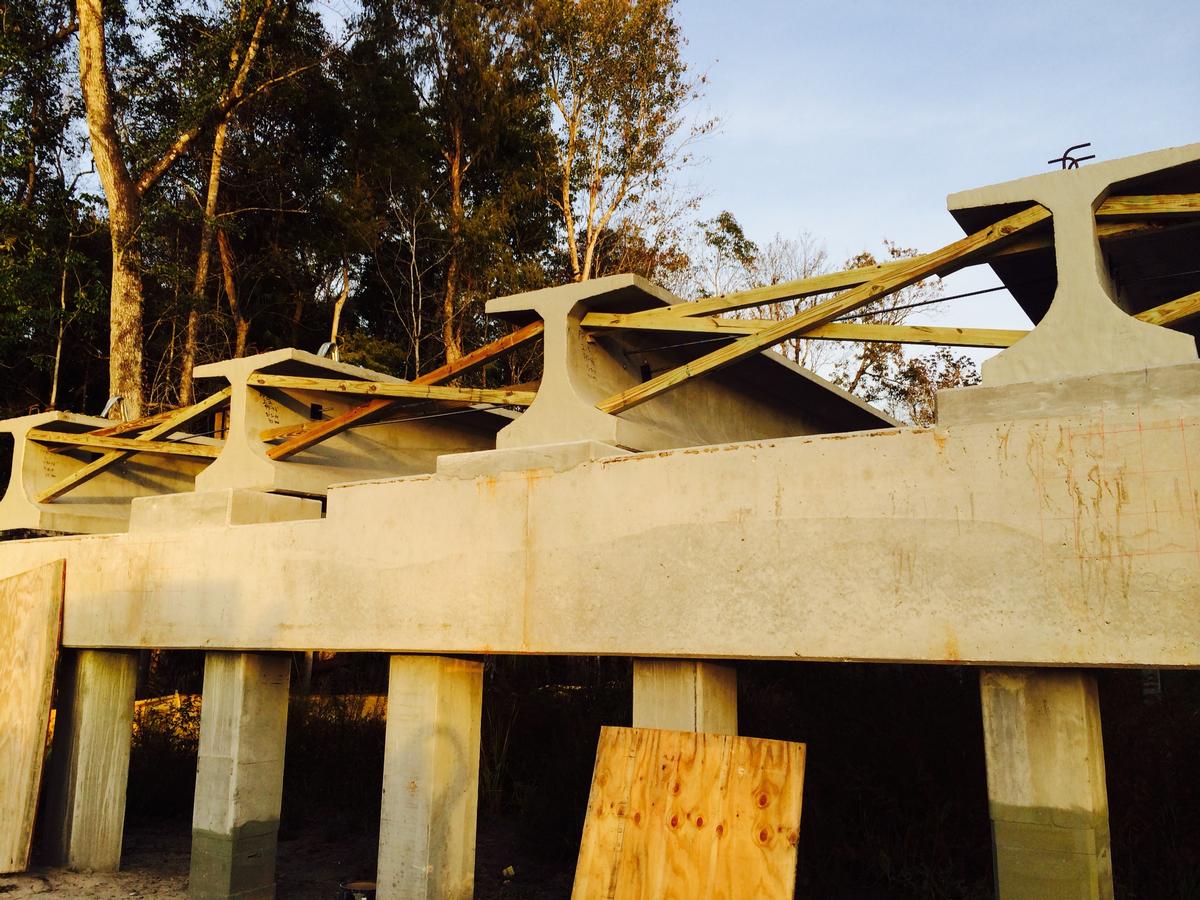
A girder bridge is a bridge that uses girders as the means of supporting its deck. The two most common types of modern steel girder bridges are plate and box. The term "girder" is often used interchangeably with "beam" in reference to bridge design. However, some authors define beam bridges slightly differently from girder bridges. A girder may be made of concrete or steel. Many shorter bridges, especially in rural areas where they may be exposed to water overtopping and corrosion, utilize concrete box girder. The term "girder" is typically used to refer to a steel beam. In a beam or girder bridge, the beams themselves are the primary support for the deck, and are responsible for transferring the load down to the foundation. Material type, shape, and weight all affect how much weight a beam can hold. Due to the properties of the second moment of area, the height of a girder is the most significant factor to affect its load capacity. Longer spans, more traffic, or wider spacing ... [...More Info...] [...Related Items...] OR: [Wikipedia] [Google] [Baidu] |
Truss Bridge
A truss bridge is a bridge whose load-bearing superstructure is composed of a truss, a structure of connected elements, usually forming triangular units. The connected elements (typically straight) may be stressed from tension, compression, or sometimes both in response to dynamic loads. The basic types of truss bridges shown in this article have simple designs which could be easily analyzed by 19th and early 20th-century engineers. A truss bridge is economical to construct because it uses materials efficiently. Design The nature of a truss allows the analysis of its structure using a few assumptions and the application of Newton's laws of motion according to the branch of physics known as statics. For purposes of analysis, trusses are assumed to be pin jointed where the straight components meet, meaning that taken alone, every joint on the structure is functionally considered to be a flexible joint as opposed to a rigid joint with strength to maintain its own shape, and th ... [...More Info...] [...Related Items...] OR: [Wikipedia] [Google] [Baidu] |
Mälaren
Mälaren ( , , or ), historically referred to as Lake Malar in English, is the third-largest freshwater lake in Sweden (after Vänern and Vättern). Its area is 1,140 km2 and its greatest depth is 64 m. Mälaren spans 120 kilometers from east to west. The lake drains, from south-west to north-east, into the Baltic Sea through its natural outlets Norrström and Söderström (as it flows around Stadsholmen island) and through the artificial Södertälje Canal and Hammarbyleden waterway. The easternmost bay of Mälaren, in central Stockholm, is called Riddarfjärden. The lake is located in Svealand and bounded by the provinces of Uppland, Södermanland and Västmanland. The two largest islands in Mälaren are Selaön (91 km2) and Svartsjölandet (79 km2). Mälaren is low-lying and mostly relatively shallow. Being a quite narrow and shallow lake, Mälaren has bridge crossings between Eskilstuna and Västerås with two crossings on the western end at Kvicksund and t ... [...More Info...] [...Related Items...] OR: [Wikipedia] [Google] [Baidu] |
Custom House
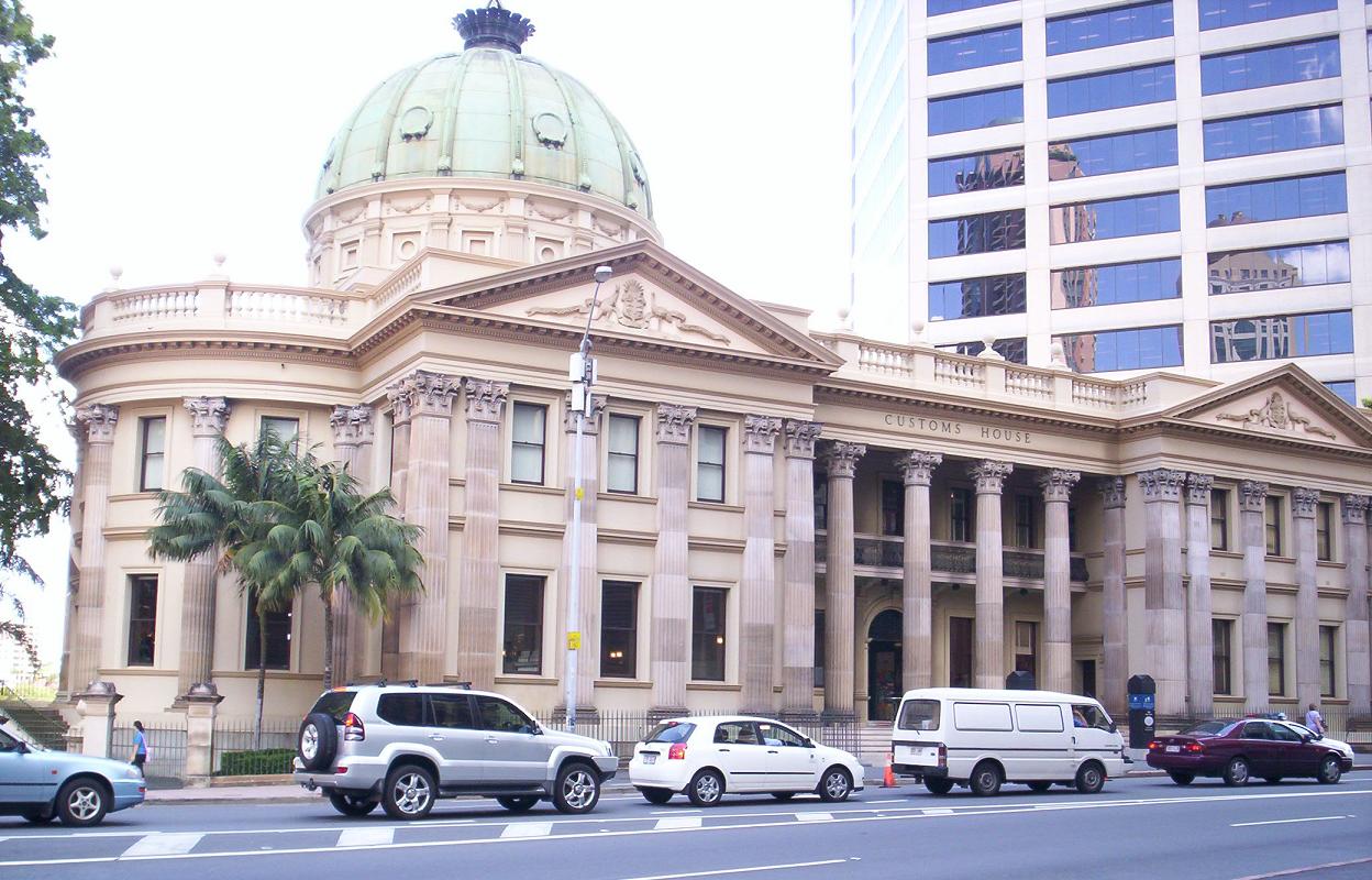
A custom house or customs house was traditionally a building housing the offices for a jurisdictional government whose officials oversaw the functions associated with importing and exporting goods into and out of a country, such as collecting customs duty on imported goods. A custom house was typically located in a seaport or in a city on a major river, with access to an ocean. These cities acted as ports of entry into a country. Due to advances in electronic information systems, the increased volume of international trade, and the introduction of air travel, the term "custom house" became a historical anachronism. There are many examples of buildings around the world that were formerly used as custom houses but have since been converted for other uses, such as museums or civic buildings. As examples, the former Alexander Hamilton U.S. Custom House in Manhattan, New York, (now the George Gustav Heye Center) presently houses a branch of the National Museum of the American Indi ... [...More Info...] [...Related Items...] OR: [Wikipedia] [Google] [Baidu] |


.jpg)
