|
Lyttelton Playing Fields
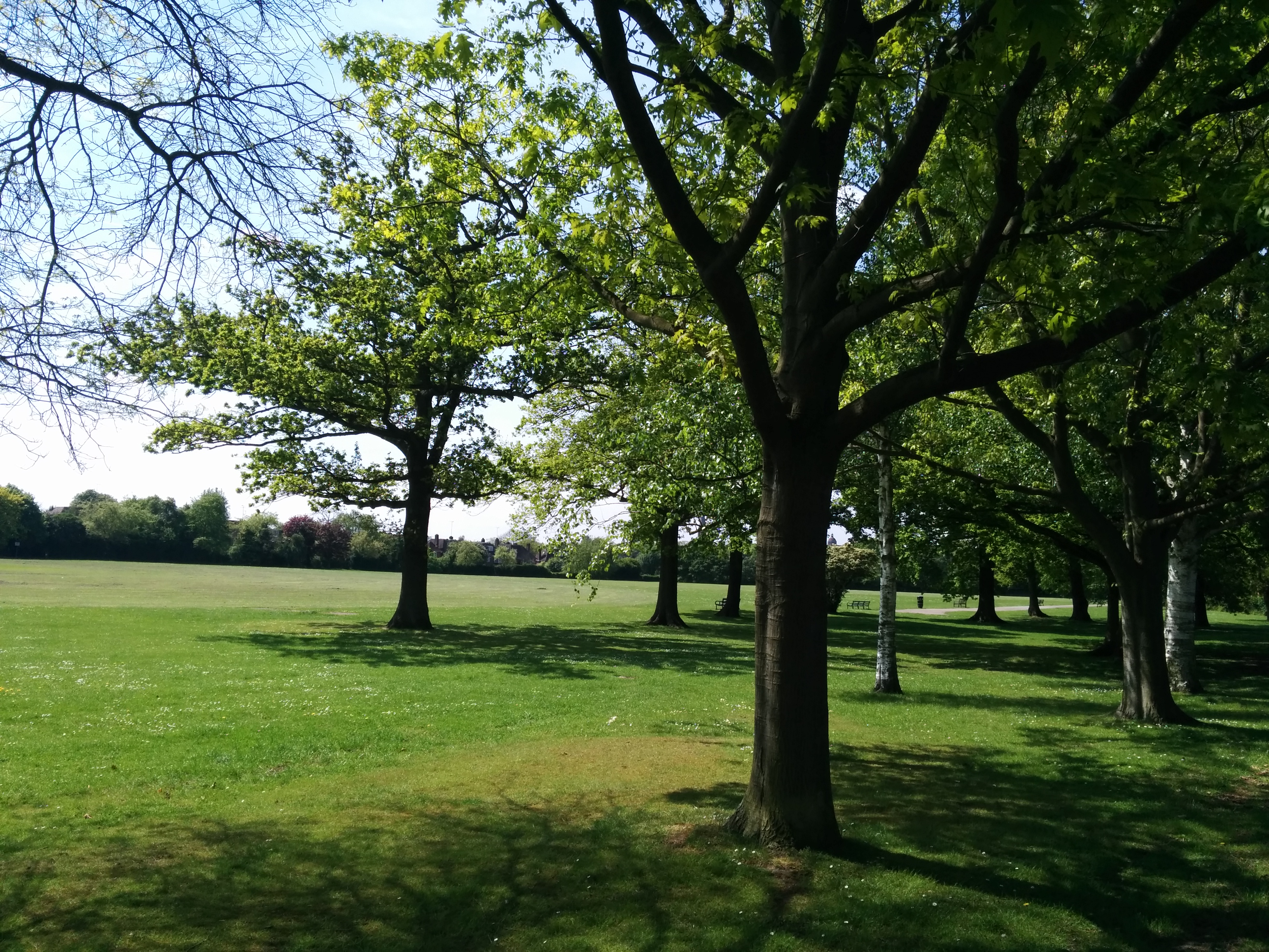
Lyttelton Playing Fields is a 9 hectare public park in Hampstead Garden Suburb in the London Borough of Barnet. It is one of Barnet's 'Premier Parks'. Most of the site is a large grassed area which can be used for cricket and football, and there are also a children's playground, tennis courts, multisport basketball and football courts, a private bowls club, 2 cricket squares and toilets. Mutton Brook goes along the north of the site through a small area of old woodland which is shown on Rocque's map of 1754, and was called Watery Wood in an 1864 Ordnance Survey map. The hedgerow along the southern edge once marked the boundary of the Bishop of London's Hornsey Park Estate. There is a small 'Children's Millennium wood' in the north west corner. Lyttelton Playing Fields has an active friends group which secured Lottery funding in 2011 for renovation. Access is from Kingsley Way, Lyttelton Road, Norrice Lea and Linden Lea. Gallery File:Lyttelton Playing Fields 1.jpg File:Lytt ... [...More Info...] [...Related Items...] OR: [Wikipedia] [Google] [Baidu] |
Playing Fields 2014-05-04 13-02
Play is a range of intrinsically motivated activities done for recreational pleasure and enjoyment. Play is commonly associated with children and juvenile-level activities, but may be engaged in at any life stage, and among other higher-functioning animals as well, most notably mammals and birds. Many prominent researchers in the field of psychology, including Melanie Klein, Jean Piaget, William James, Sigmund Freud, Carl Jung and Lev Vygotsky have erroneously viewed play as confined to the human species, believing play was important for human development and using different research methods to prove their theories. Play is often interpreted as frivolous; yet the player can be intently focused on their objective, particularly when play is structured and goal-oriented, as in a game. Accordingly, play can range from relaxed, free-spirited and spontaneous through frivolous to planned or even compulsive. Play is not just a pastime activity; it has the potential to serve as an impor ... [...More Info...] [...Related Items...] OR: [Wikipedia] [Google] [Baidu] |
Hampstead Garden Suburb
Hampstead Garden Suburb is an elevated suburb of London, north of Hampstead, west of Highgate and east of Golders Green. It is known for its intellectual, liberal, artistic, musical and literary associations. It is an example of early twentieth-century domestic architecture and town planning in the London Borough of Barnet, northwest London. The master plan was prepared by Richard Barry Parker, Barry Parker and Sir Raymond Unwin. Comprising just over 5,000 properties, and home to around 16,000 people, undivided houses with individual gardens are a key feature. The area enjoys landscaped Squares in London, garden squares, several communal parks and Hampstead Heath Extension. History Hampstead Garden Suburb was founded by Henrietta Barnett, who, with her husband Samuel Augustus Barnett, Samuel, had started the Whitechapel Art Gallery and Toynbee Hall. In 1906, Barnett set up the Hampstead Garden Suburb Trust Ltd, which purchased 243 acres of land from Eton College for the schem ... [...More Info...] [...Related Items...] OR: [Wikipedia] [Google] [Baidu] |
London Borough Of Barnet
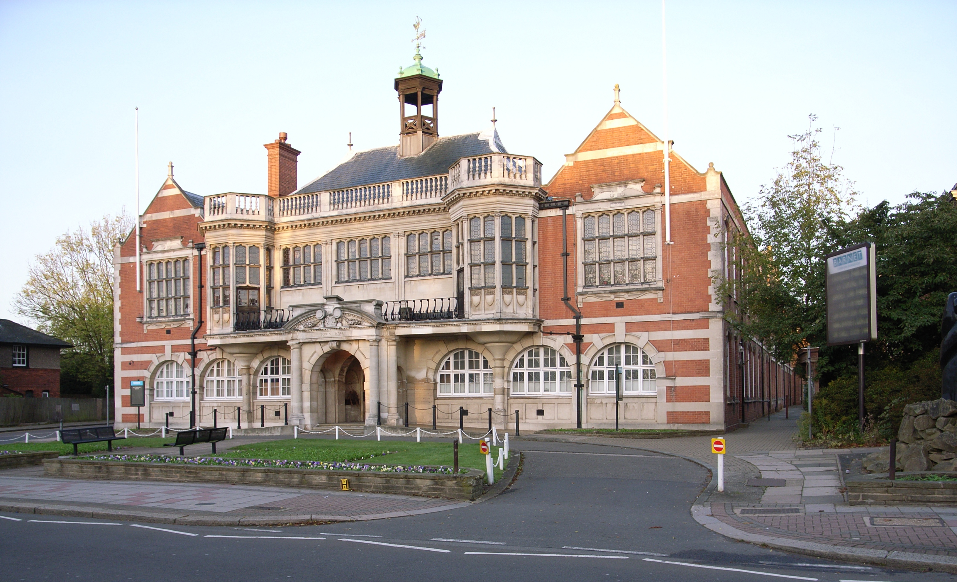
The London Borough of Barnet () is a suburban London boroughs, London borough in North London. The borough was formed in 1965 from parts of the ceremonial counties of Middlesex and Hertfordshire. It forms part of Outer London and is the largest London borough by population with 384,774 inhabitants, also making it the 13th largest List of English districts by population, district in England. The borough covers an area of , the fourth highest of the 32 London boroughs, and has a population density of 45.8 people per hectare, which ranks it 25th. Barnet borders the Hertfordshire district of Hertsmere to the north and five other London boroughs: London Borough of Camden, Camden and London Borough of Haringey, Haringey to the southeast, London Borough of Enfield, Enfield to the east, as well as London Borough of Harrow, Harrow and London Borough of Brent, Brent to the west of the ancient Watling Street (now the A5 road). The borough's major urban settlements are Hendon, Finchley, Gol ... [...More Info...] [...Related Items...] OR: [Wikipedia] [Google] [Baidu] |
Mutton Brook
__NOTOC__ Mutton Brook is a stream which runs between East Finchley and Hendon in the London Borough of Barnet. It is a tributary of the River Brent, which is itself a tributary of the River Thames. The brook rises in Cherry Tree Wood and flows underground to emerge at the back of Belvedere Court, Lyttleton Road. It then passes under Lyttleton Road and flows along the south side of the road and Falloden Way through Lyttleton Playing Fields, Fletchers Gardens and Northway Gardens. Near Brookland Rise, it crosses briefly to the north side of Falloden Way before crossing back to Brookside Walk. It passes under Finchley Road at Henlys Corner and then under the North Circular Road to meet Dollis Brook close to Bridge Lane. The two brooks then become the River Brent. The brook is confined in a concrete or wood channel along the whole of its length, and the water quality is often poor. However, from Lyttleton Playing Fields to the junction with Dollis Brook its route is almost all th ... [...More Info...] [...Related Items...] OR: [Wikipedia] [Google] [Baidu] |
John Rocque
John Rocque (originally Jean; c. 1704–1762) was a French-born British surveyor and cartographer, best known for his detailed map of London published in 1746. Life and career Rocque was born in France in about 1704, one of four children of a Huguenot family who subsequently fled first to Geneva, and then, probably in 1709, to England. He became a godfather in 1728, which suggests he was at least twenty-one years old by that time. In addition to his work as surveyor and mapmaker, Rocque was an engraver and map-seller. He was also involved in some way in gardening as a young man, living with his brother Bartholomew, who was a landscape gardener, and producing plans for parterres, perhaps recording pre-existing designs, but few details of this work are known. Rocque produced engraved plans of the gardens at Wrest Park (1735), Claremont (1738), Charles Hamilton's naturalistic landscape garden at Painshill Park, Surrey (1744), Wanstead House (1745) and Wilton House (1746). Rocqu ... [...More Info...] [...Related Items...] OR: [Wikipedia] [Google] [Baidu] |
Ordnance Survey
, nativename_a = , nativename_r = , logo = Ordnance Survey 2015 Logo.svg , logo_width = 240px , logo_caption = , seal = , seal_width = , seal_caption = , picture = , picture_width = , picture_caption = , formed = , preceding1 = , dissolved = , superseding = , jurisdiction = Great BritainThe Ordnance Survey deals only with maps of Great Britain, and, to an extent, the Isle of Man, but not Northern Ireland, which has its own, separate government agency, the Ordnance Survey of Northern Ireland. , headquarters = Southampton, England, UK , region_code = GB , coordinates = , employees = 1,244 , budget = , minister1_name = , minister1_pfo = , chief1_name = Steve Blair , chief1_position = CEO , agency_type = , parent_agency = , child1_agency = , keydocument1 = , website = , footnotes = , map = , map_width = , map_caption = Ordnance Survey (OS) is the national mapping agency for Great Britain. The agency's name indicates its original military purpose (se ... [...More Info...] [...Related Items...] OR: [Wikipedia] [Google] [Baidu] |
Bishop Of London
A bishop is an ordained clergy member who is entrusted with a position of authority and oversight in a religious institution. In Christianity, bishops are normally responsible for the governance of dioceses. The role or office of bishop is called episcopacy. Organizationally, several Christian denominations utilize ecclesiastical structures that call for the position of bishops, while other denominations have dispensed with this office, seeing it as a symbol of power. Bishops have also exercised political authority. Traditionally, bishops claim apostolic succession, a direct historical lineage dating back to the original Twelve Apostles or Saint Paul. The bishops are by doctrine understood as those who possess the full priesthood given by Jesus Christ, and therefore may ordain other clergy, including other bishops. A person ordained as a deacon, priest (i.e. presbyter), and then bishop is understood to hold the fullness of the ministerial priesthood, given responsibility b ... [...More Info...] [...Related Items...] OR: [Wikipedia] [Google] [Baidu] |
Millennium Wood
A millennium (plural millennia or millenniums) is a period of one thousand years, sometimes called a kiloannum (ka), or kiloyear (ky). Normally, the word is used specifically for periods of a thousand years that begin at the starting point (initial reference point) of the calendar in consideration (typically the year "1") and at later years that are whole number multiples of a thousand years after the start point. The term can also refer to an interval of time beginning on any date. Millennia sometimes have religious or theological implications (see millenarianism). The word ''millennium'' derives from the Latin ', thousand, and ', year. Debate over millennium celebrations There was a public debate leading up to the celebrations of the year 2000 as to whether the beginning of that year should be understood as the beginning of the “new” millennium. Historically, there has been debate around the turn of previous decades, centuries, and millennia. The issue arises from the ... [...More Info...] [...Related Items...] OR: [Wikipedia] [Google] [Baidu] |
Barnet Parks And Open Spaces
The London Borough of Barnet, located on the northern periphery of London and having much of the area within its boundaries in the Metropolitan Green Belt, has many parks and open spaces. In addition there are large areas taken over by cemeteries and golf courses, and part of Hampstead Heath. Parks Premier Parks Barnet describes its 16 main open spaces as 'premier parks', seven of which achieved a Green Flag Award for 2009/10: * Childs Hill Park and Basing Hill Park, Childs Hill * Cherry Tree Wood, East Finchley * Edgwarebury Park, Edgware * Friary Park, Friern Barnet * Hendon Park, Hendon * Lyttelton Playing Fields, Hampstead Garden Suburb * Mill Hill Park, Mill Hill * Oak Hill Park, East Barnet * Old Court House Recreation Ground, High Barnet * Sunny Hill Park, Hendon * Swan Lane Open Space, Whetstone * Tudor Sports Ground, New Barnet * Victoria Park, Finchley Central * Victoria Recreation Ground, New Barnet * Watling Park, Burnt Oak * West Hendon Playing Fields, West H ... [...More Info...] [...Related Items...] OR: [Wikipedia] [Google] [Baidu] |


