|
Loutro, Chania
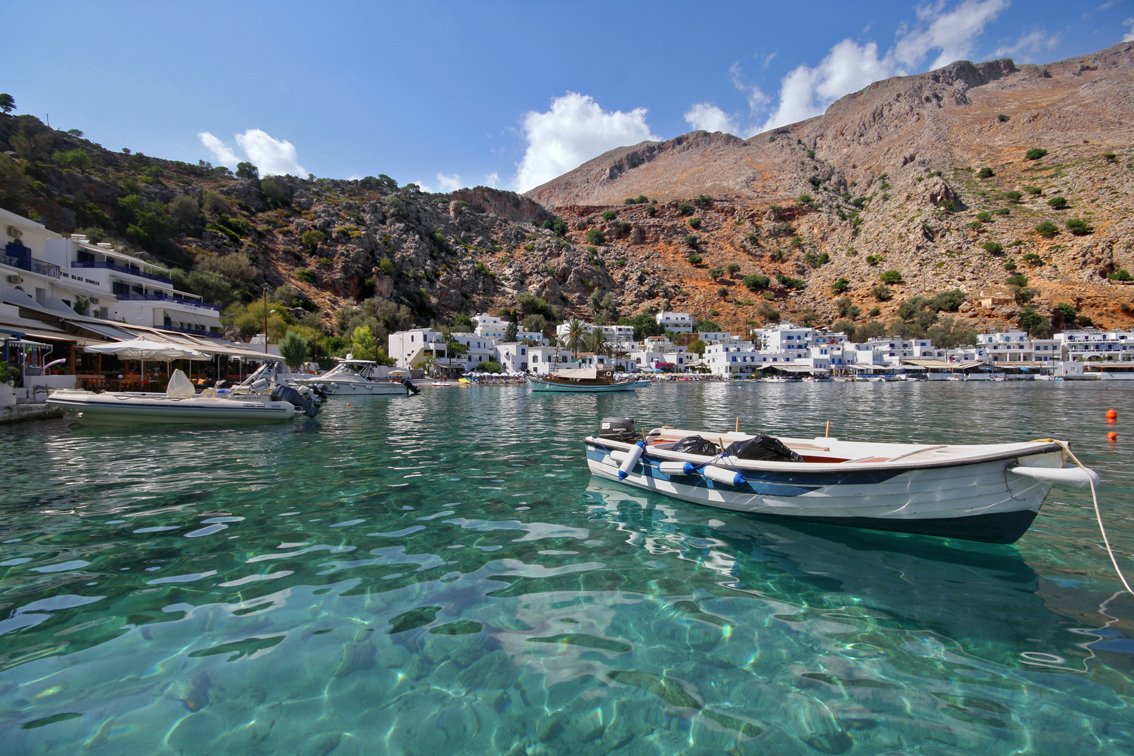
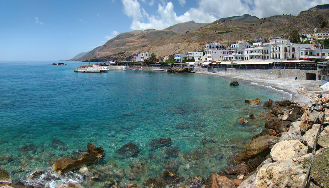
Loutro ( el, Λουτρό) (Greek: "Bath") lies on the south coast of Chania regional unit in west Crete, between Chora Sfakion and Agia Roumeli, the exit to the Samaria Gorge. The whole area is known as Sfakia. The village got its name from the Greek word for "bath," for the many ancient baths found in the area. History Loutro is the site of the ancient city of Phoenix (Finikas), which was the port town of ancient Anopolis, and an important harbour in Hellenistic and Roman times. It later became the wintertime port of the town of Sfakia because of its natural protection during harsh weather. Today nothing remains of ancient Phoenix except the name preserved by the small village in the bay west of Loutro. Later the Saracen pirates used Loutro as a lair from which to attack the ships sailing south of Crete. The Venetians managed to drive out the Saracens and fortified Loutro with a small fortress whose ruins are still visible today. Another fortress preserved in better condition ... [...More Info...] [...Related Items...] OR: [Wikipedia] [Google] [Baidu] |
Chania
Chania ( el, Χανιά ; vec, La Canea), also spelled Hania, is a city in Greece and the capital of the Chania regional unit. It lies along the north west coast of the island Crete, about west of Rethymno and west of Heraklion. The municipality has 108,642 inhabitants (2011). This consists of the city of Chania and several nearby areas, including Kounoupidiana (pop. 8,620), Mournies (pop. 7,614), Souda (pop. 6,418), Nerokouros (pop. 5,531), Daratsos (pop. 4,732), Perivolia (pop. 3,986), Galatas (pop. 3,166) and Aroni (pop. 3,003). History Early history Chania is the site of the Minoan settlement the Greeks called Kydonia, the source of the word quince. It appears on Linear B as ''ku-do-ni-ja''. Some notable archaeological evidence for the existence of this Minoan city below some parts of today's Chania was found by excavations in the district of Kasteli in the Old Town. This area appears to have been inhabited since the Neolithic era. The city reemerged after the end ... [...More Info...] [...Related Items...] OR: [Wikipedia] [Google] [Baidu] |
Crete
Crete ( el, Κρήτη, translit=, Modern: , Ancient: ) is the largest and most populous of the Greek islands, the 88th largest island in the world and the fifth largest island in the Mediterranean Sea, after Sicily, Sardinia, Cyprus, and Corsica. Crete rests about south of the Greek mainland, and about southwest of Anatolia. Crete has an area of and a coastline of 1,046 km (650 mi). It bounds the southern border of the Aegean Sea, with the Sea of Crete (or North Cretan Sea) to the north and the Libyan Sea (or South Cretan Sea) to the south. Crete and a number of islands and islets that surround it constitute the Region of Crete ( el, Περιφέρεια Κρήτης, links=no), which is the southernmost of the 13 top-level administrative units of Greece, and the fifth most populous of Greece's regions. Its capital and largest city is Heraklion, on the north shore of the island. , the region had a population of 636,504. The Dodecanese are located to the no ... [...More Info...] [...Related Items...] OR: [Wikipedia] [Google] [Baidu] |
Chora Sfakion
Image:Chora Sfakion 1941 evacuation monument.jpg, 200px, Monument commemorating the evacuation during WW2 of British and ANZAC forces from Hora Sfakion in May 1941. ''Click on the left plaque for a closer view'' rect 198 536 320 1082 rect 0 0 900 1200 desc bottom-left Hóra Sfakíon ( el, Χώρα Σφακίων) or Sfakia (Σφακιά ) is a town on the south coast of Crete, Greece. It is the capital of the remote and mountainous region of Sfakiá, and is a small town of just 265 inhabitants (2011 census). It lies on the south coast near the end of the Imbros Gorge, 74 km south of Chania. It has two small harbours, where the ferry boats from Agia Roumeli dock, which in the summer bring the hikers from the Samaria Gorge to take buses back to the northern coast. From Hóra Sfakíon ferries also go to the nearby coastal town of Loutro and the island Gavdos. Hóra Sfakíon is a small village with a main harbourfront of tavernas, two minimarkets, a butcher, and a bakery. Th ... [...More Info...] [...Related Items...] OR: [Wikipedia] [Google] [Baidu] |
Agia Roumeli
Agia Roumeli ( el, Αγιά Ρούμελη) is a small village in southwest Crete, Greece and is popular with tourists. Background Located a few kilometers above the town is the southern entrance to the Samaria Gorge. For most walkers, this is the exit, as the usual route through the gorge is to descend from the north. The gorge is a popular tourist destination in Crete, the longest gorge in Greece, and one of the longest in Europe, measuring 18 km. The village has several hotels and a few rooms for rent and also some tavernas. Agia Roumeli has a large beach and a ferry slipway where the ferry to and from Hora Sfakion via Loutro, arrives, mainly used by walkers who have completed the Samaria walk. The village is not accessible by road. According to one local source, the name comes from a corruption of the Arabic words ''Maya'' (وأتر) meaning water, and ''Roumi'' (رومى) meaning Byzantine Greeks, indicating a place of "Greek/Roman water", possibly a reference to the ... [...More Info...] [...Related Items...] OR: [Wikipedia] [Google] [Baidu] |
Samaria Gorge
Samaria (; he, שֹׁמְרוֹן, translit=Šōmrōn, ar, السامرة, translit=as-Sāmirah) is the historic and biblical name used for the central region of Palestine, bordered by Judea to the south and Galilee to the north. The first-century historian Josephus set the Mediterranean Sea as its limit to the west, and the Jordan River as its limit to the east. Its territory largely corresponds to the biblical allotments of the tribe of Ephraim and the western half of Manasseh. It includes most of the region of the ancient Kingdom of Israel, which was north of the Kingdom of Judah. The border between Samaria and Judea is set at the latitude of Ramallah. The name "Samaria" is derived from the ancient city of Samaria, capital of the northern Kingdom of Israel. The name Samaria likely began being used for the entire kingdom not long after the town of Samaria had become Israel's capital, but it is first documented after its conquest by Sargon II of Assyria, who turned the king ... [...More Info...] [...Related Items...] OR: [Wikipedia] [Google] [Baidu] |
Sfakia
Sfakiá ( el, Σφακιά) is a mountainous area in the southwestern part of the island of Crete, in the Chania regional unit. It is considered to be one of the few places in Greece that have never been fully occupied by foreign powers. With a 2011 census population of 1,889 inhabitants living on a land area of , Sfakia is one of the largest and least densely populated municipalities on the island of Crete. The etymology of its name is disputed. According to the prevailing theory, it relates to its rugged terrain, deriving from the ancient Greek word ''σφαξ'', meaning land chasm or gorge. Description The road from Chania to Sfakiá crosses the island from north to south, through the village of Vryses. From this village the route crosses the White Mountains ( Lefká Óri) to Hóra Sfakíon () by the Libyan Sea. Halfway from Vrisses to Hóra Sfakíon is the fertile plateau of Askifou, surrounded by high mountain peaks. From here to Hóra Sfakíon the road is particularly s ... [...More Info...] [...Related Items...] OR: [Wikipedia] [Google] [Baidu] |
Anopolis
Anopolis ( grc, Ἀνώπολις) was a town and ''polis'' (city-state) of ancient Crete The history of Crete goes back to the 7th millennium BC, preceding the ancient Minoan civilization by more than four millennia. The palace-based Minoan civilization was the first civilization in Europe. After the Minoan civilization was devasta .... Stephanus of Byzantium claims Anopolis an earlier name of, rather than a predecessor settlement to, Araden (Ἀραδήν) Its site is located near modern Anopoli. References Populated places in ancient Crete Former populated places in Greece Cretan city-states {{AncientCrete-geo-stub ... [...More Info...] [...Related Items...] OR: [Wikipedia] [Google] [Baidu] |
Hellenistic
In Classical antiquity, the Hellenistic period covers the time in Mediterranean history after Classical Greece, between the death of Alexander the Great in 323 BC and the emergence of the Roman Empire, as signified by the Battle of Actium in 31 BC and the conquest of Ptolemaic Egypt the following year. The Ancient Greek word ''Hellas'' (, ''Hellás'') was gradually recognized as the name for Greece, from which the word ''Hellenistic'' was derived. "Hellenistic" is distinguished from "Hellenic" in that the latter refers to Greece itself, while the former encompasses all ancient territories under Greek influence, in particular the East after the conquests of Alexander the Great. After the Macedonian invasion of the Achaemenid Empire in 330 BC and its disintegration shortly after, the Hellenistic kingdoms were established throughout south-west Asia ( Seleucid Empire, Kingdom of Pergamon), north-east Africa ( Ptolemaic Kingdom) and South Asia ( Greco-Bactrian Kingdom, Indo-Gree ... [...More Info...] [...Related Items...] OR: [Wikipedia] [Google] [Baidu] |
Saracens
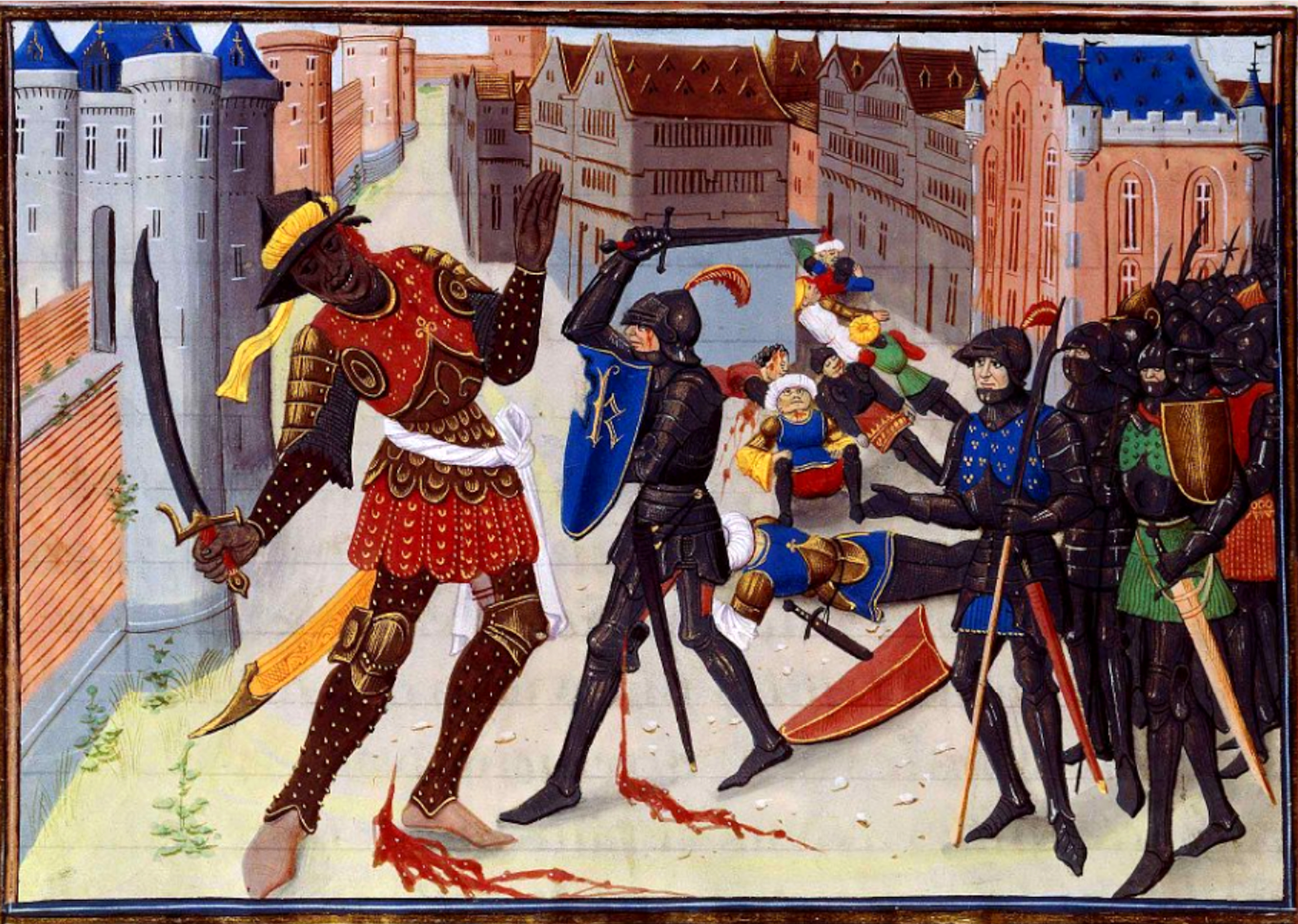
file:Erhard Reuwich Sarazenen 1486.png, upright 1.5, Late 15th-century Germany in the Middle Ages, German woodcut depicting Saracens Saracen ( ) was a term used in the early centuries, both in Greek language, Greek and Latin writings, to refer to the people who lived in and near what was designated by the Roman Empire, Romans as Arabia Petraea and Arabia Deserta. The term's meaning evolved during its history of usage. During the Early Middle Ages, the term came to be associated with the tribes of Arabia. The oldest known source mentioning "Saracens" in relation to Islam dates back to the 7th century, in the Greek-language Christian tract Teaching of Jacob, ''Doctrina Jacobi''. Among other major events, the tract discusses the Muslim conquest of the Levant, which occurred after the rise of the Rashidun Caliphate following the death of the Islamic prophet Muhammad. The Roman-Catholic church and Christianity in Europe, European Christian leaders used the term during the Middle Ages ... [...More Info...] [...Related Items...] OR: [Wikipedia] [Google] [Baidu] |


