|
Lotha Naga
The Lotha Nagas, also known as Kyong, are a major Naga ethnic group native to Wokha District in the Indian state of Nagaland. Origins Scholars have presented several theories about the migration of the Lothas and the other Naga tribes, based on vocal explanations passed on from one generation to another. Migration from eastern China According to this theory mentioned by Hokishe Sema, the Lothas started moving out from the Eastern part of China, passing through Malaysia, Indonesia and Burma en route. After many long years of movement, they reached a place called '' Khezakhenoma'' located between Manipur and Chakhesang (the present-day Phek), where they settled for a short period of time. From ''Khezakhenoma'' they moved towards the present day settlement of the Lothas i.e. ''Wokha'' where they finally settled. Migration from Manchuria This theory, mentioned by T. Phillips, says that the Lothas migrated from Manchuria, passing through the foothills of the Himalayas and rea ... [...More Info...] [...Related Items...] OR: [Wikipedia] [Google] [Baidu] |
Lotha Language
The Lotha language is a Sino-Tibetan language spoken by approximately 180,000 people in Wokha district of west-central Nagaland, India. It is centered in the small district of Wokha (capital Wokha). This district has more than 114 villages such as Pangti, Maraju (Merapani), Englan, Baghty (Pakti) and others, where the language is widely spoken and studied. Names Alternate names include Chizima, Choimi, Hlota, Kyong, Lhota, Lotha, Lutha, Miklai, Tsindir, and Tsontsii (''Ethnologue''). Dialects ''Ethnologue'' lists the following dialects of Lotha. *Live *Tsontsü *Ndreng *Kyong *Kyo *Kyon *Kyou In the ''Linguistic Survey of India'', linguist George Abraham Grierson analyzed various branches of languages in India and categorized various Naga languages into three groups: Western Naga, Eastern Naga, and Central Naga. Lotha falls into the Central Naga group, which also includes the languages Ao, Sangtam, and Yimkhiungrü. Phonology Consonants * /v/ when followed by /o ... [...More Info...] [...Related Items...] OR: [Wikipedia] [Google] [Baidu] |
Himalayas
The Himalayas, or Himalaya (; ; ), is a mountain range in Asia, separating the plains of the Indian subcontinent from the Tibetan Plateau. The range has some of the planet's highest peaks, including the very highest, Mount Everest. Over 100 peaks exceeding in elevation lie in the Himalayas. By contrast, the highest peak outside Asia (Aconcagua, in the Andes) is tall. The Himalayas abut or cross five countries: Bhutan, India, Nepal, China, and Pakistan. The sovereignty of the range in the Kashmir region is disputed among India, Pakistan, and China. The Himalayan range is bordered on the northwest by the Karakoram and Hindu Kush ranges, on the north by the Tibetan Plateau, and on the south by the Indo-Gangetic Plain. Some of the world's major rivers, the Indus, the Ganges, and the Tsangpo–Brahmaputra, rise in the vicinity of the Himalayas, and their combined drainage basin is home to some 600 million people; 53 million people live in the Himalayas. The Himalayas have ... [...More Info...] [...Related Items...] OR: [Wikipedia] [Google] [Baidu] |
Tsüngiki
Tsüngiki, which means ''Abode of Cloud'', is a Lotha Naga village located in Chukitong Circle of Wokha District, Nagaland with a total of 556 families residing. People The Tsüngiki village has population of 3320 of which 1667 are males while 1653 are females as per Population Census 2011. They speak the Lotha language. The people from Tsüngiki village are Christian. Tsüngiki Village celebrated its 100 Years of Christianity in January 2018. Distance from Nearby Towns Wokha is nearest town to Tsüngiki which is approximately 18km away. The surrounding nearby villages and its distance from Tsüngiki are Mungya 2.5km, Koio 3.4km, Seluku 3.8km, Chukitong 4.2km, Yimkha 4.6km, Longla 6.2km, Nungying 6.3km, Yanthamo 6.4km. Crops and its Benefits Tsüngiki Village has fertile soil suiting many crops. The Way side Market On NH-61 helps in sustaining and maintaining the economic growth of the villagers. Place of Interest ''Dongti'' is a place a hill where a Viewing Tower has been co ... [...More Info...] [...Related Items...] OR: [Wikipedia] [Google] [Baidu] |
Pangti
The Pangti Village is one of the biggest village among the Lothas. Pangti Village is located in Sungro Circle of Wokha District. A 156 km north from the State Capital i.e. Kohima. According to 2011 Census, the rate of Pangti was 77.13%, whose male literacy rate stands at 84.40% and female literacy rate was 71.02%. The Pangti Village is believed to have been established sometimes in the most last part of 1100 A.D or early part of 1200 A.D, during which time, the migration had taken place all over India. The legendary establishment of the village relate back to "LUNGKHUM JUNG" Village, between Wokha Village and Koio Village when it was compeld to be dissolved/abandoned due to wild tiger. The village was established with a maximum of 12 clans where no such various clans exists in the other Lotha areas during that period mainly i) Shitiri ii) Ngullie iii) Humtsoe iv) Kithan v) Odyui vi) Kikon vii) Patton viii) Jami ix) Murry x) Merry xi) Tsopoe xii) Yanthan. To this day, ... [...More Info...] [...Related Items...] OR: [Wikipedia] [Google] [Baidu] |
Lakhüti
Lakhüti is a Lotha Naga village located 127 km north of Kohima, the capital of Nagaland. Lakhüti is located in Aitepyong Circle of Wokha District Wokha District (Pron:/ˈwəʊkə/) is a districts of Nagaland, district of Nagaland state in India. It is the home of the Lotha Nagas. Gastronomically, it known for its variety of fermented bamboo shoots (bastenga). It holds an important place ..., Nagaland which is bounded by Akuk village to the North, Pangti and Okotso villages to the East, Sunglup village and Baghty valley to the South and Yimpang village to the West. The nearest highway from the village is Sanis town which is 18 km. drive from the village. The village has one Govt.High School and one Private High School-Don Bosco School, Lakhuti. Aitepyong hill top is the highest point in the village which is located at 1,210 m elevation from the mean sea level. Climate ranges from tropical at Baghty valley to sub-tropical at the village area. Demographics Lakhuti has ... [...More Info...] [...Related Items...] OR: [Wikipedia] [Google] [Baidu] |
Englan
Englan is a small village in the district of Wokha, in the Nagaland state of India. Its name literally means ''The Path of the Sun''. It is one of the main centers of the district and is an active center of the Lotha language The Lotha language is a Sino-Tibetan language spoken by approximately 180,000 people in Wokha district of west-central Nagaland, India. It is centered in the small district of Wokha (capital Wokha). This district has more than 114 villages such ... and culture. External linksA district map of Nagaland Villages in Wokha district {{Nagaland-geo-stub ... [...More Info...] [...Related Items...] OR: [Wikipedia] [Google] [Baidu] |
Yikhüm
Yikhüm is a Lotha Naga village located north of Kohima, the capital of Nagaland, India. Etymology Yikhüm was originally known as ''Khümyanpan'' meaning ''‘place of worship’'' or ''‘village of worship’'' referring to the forefathers who performs various rituals before establishing a village. The name was later changed to Yikhüm (''Yi-khüm'') which translates to ''‘believe in word’''. ''‘Oyi’'' meaning''‘word’'' and ''‘khüma’'' meaning ''‘believe or worship’''. History The history of Yikhüm, according to oral history traces back to the 12th century A.D. Many scholars and writers opined that these people were originally from Manchuria. They migrated crossing Burma, Manipur and finally settled in Yikhüm. Clans The people of Yikhüm were originally divided by four sectors and eight clans. Three clans were later excluded from the village—Eni, Ezüng and Kikon. The present five clans are Jüngi, Khanjüng, Kithan, Mürry and Odyüo. Geography ... [...More Info...] [...Related Items...] OR: [Wikipedia] [Google] [Baidu] |
Doyang
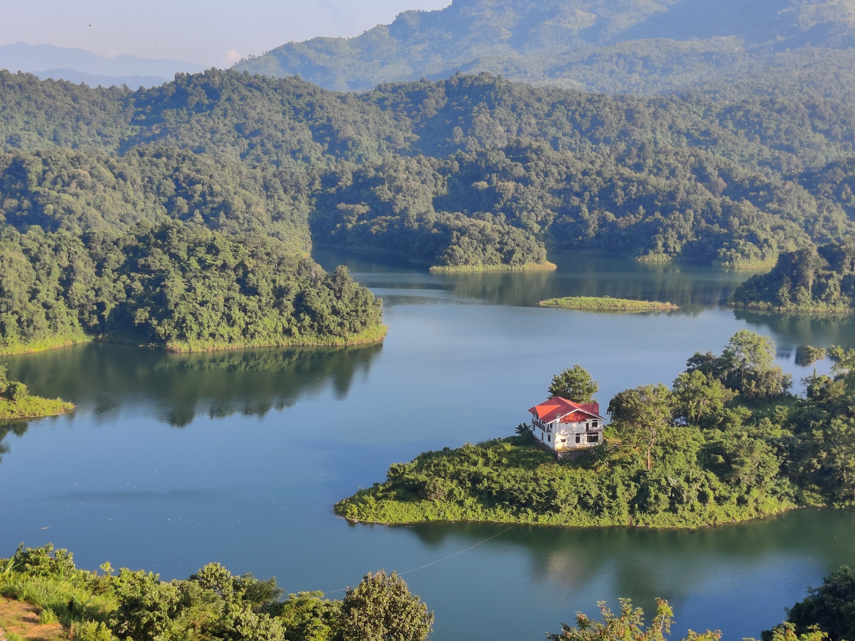
The Doyang is the longest and largest river in the Indian state of Nagaland. With its origin from small streams near the Nagaland–Manipur border, it first flows to the form the River Dzüü and Sidzü which flows in a parallel direction in Kohima District and Phek District to meet at the Zünheboto District. It then flows to Wokha District where it is known by its name, the ''Doyang'' and moves south west direction and then north in Assam to join the Dhansiri River which together in turn is a left tributary of the Brahmaputra River. Dams The Doyang Hydro Electric Project is the only major river dam in Nagaland. It was commissioned in the year 2000 and the total installed capacity of the project is 75 (3 X 25) MW. See also * List of rivers in Nagaland The following is a list of selected rivers in Nagaland. List * Chathe * Dhansiri * Doyang See also * List of rivers * Geography of Nagaland Nagaland () is a landlocked state in the northeastern region of ... [...More Info...] [...Related Items...] OR: [Wikipedia] [Google] [Baidu] |
Lezama
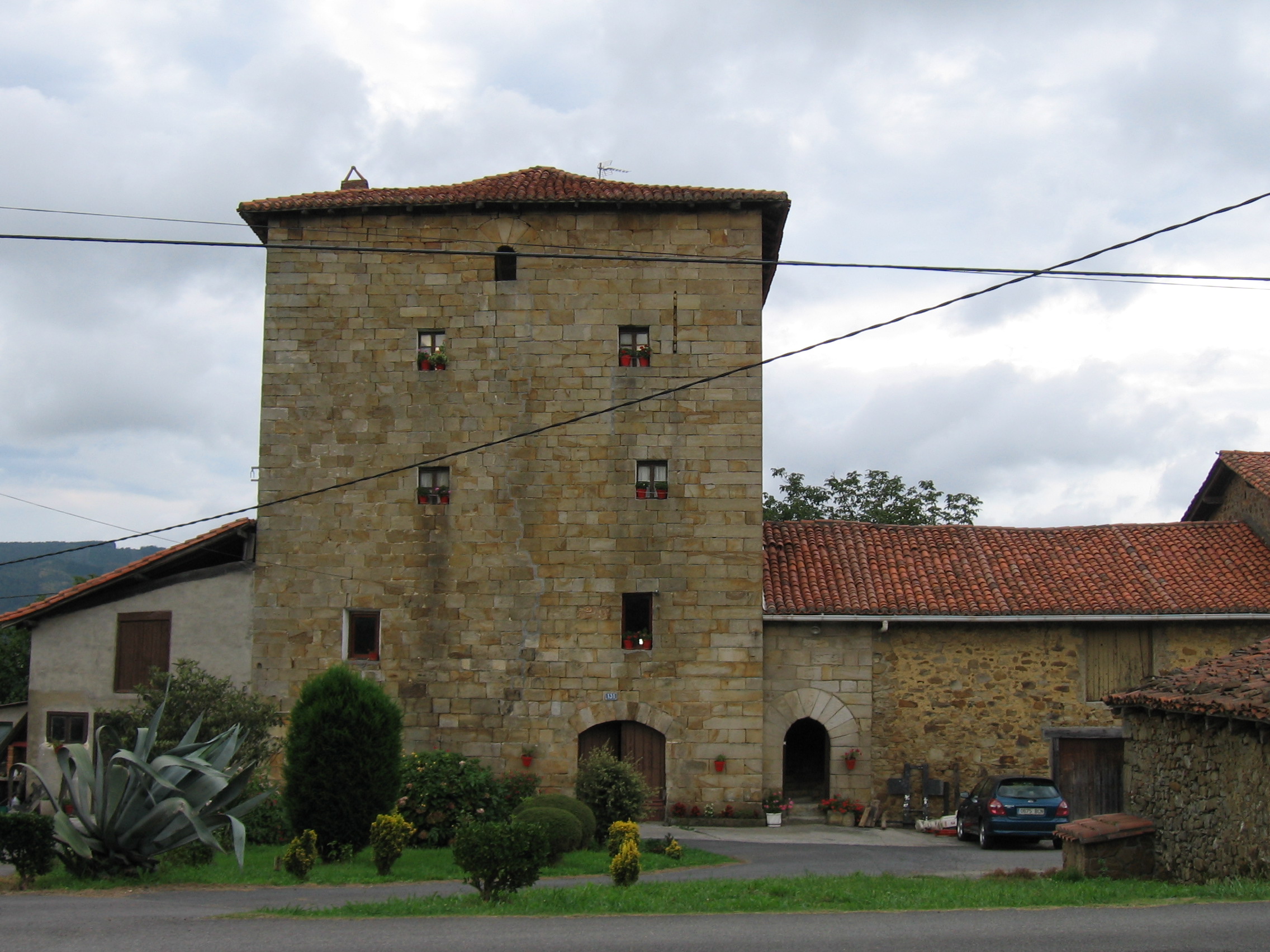
Lezama is a town and municipality located in the province of Biscay, in the autonomous community of Basque Country, northern Spain. It is home to the training headquarters of the football team Athletic Bilbao, and is accessible by bus - BizkaiBus (A3223) - from Bilbao ) , motto = , image_map = , mapsize = 275 px , map_caption = Interactive map outlining Bilbao , pushpin_map = Spain Basque Country#Spain#Europe , pushpin_map_caption .... References External linksLEZAMA in the Bernardo Estornés Lasa - Auñamendi Encyclopedia (Euskomedia Fundazioa) Municipalities in Biscay {{Basque-geo-stub ... [...More Info...] [...Related Items...] OR: [Wikipedia] [Google] [Baidu] |
Kohima
Kohima (; Angami Naga: ''Kewhira'' ()), is the capital of the Northeastern Indian state of Nagaland. With a resident population of almost 100,000, it is the second largest city in the state. Originally known as ''Kewhira'', Kohima was founded in 1878 when the British Empire established its headquarters of the then Naga Hills District of Assam Province. It officially became the capital after the state of Nagaland was inaugurated in 1963. Kohima was the site of one of the bloodiest battles of World War II. The battle is often referred to as the '' Stalingrad of the East''. In 2013, the British National Army Museum voted the Battle of Kohima to be ''Britain's Greatest Battle''. Kohima constitutes both a district and a municipality. The municipality covers . Kohima lies on the foothills of Japfü section of the Barail Range located south of the District () and has an average elevation of 1,261 metres (4137 feet). Etymology Kohima was originally known as ''Kewhi–ra''. The name, ... [...More Info...] [...Related Items...] OR: [Wikipedia] [Google] [Baidu] |
Mao Naga
Mao Naga may refer to: * Mao Naga people (Mao Nagas, Sopvoma Naga people, Sopvoma Nagas, Sopvoma people) - Mao people * Mao Naga language (Mao language, Sopvoma Naga language Sopvoma or Mao is a Sino-Tibetan language of Angami–Pochuri linguistic sub branch. It is spoken primarily in Senapati district, northwestern Manipur and in Nagaland, India. It is similar to Angami. According to '' Ethnologue'' (2009), t ...) - Sopvoma language {{Disambig ... [...More Info...] [...Related Items...] OR: [Wikipedia] [Google] [Baidu] |
Sumi Naga
Sumi may refer to: People * Sumi Jo (born 1962), South Korean lyric coloratura soprano * Sumi, an honorific for Buddhist monks Cultures * Sümi Naga, one of the major Naga ethnic groups in Nagaland, India * Sümi language spoken by the Sümi Nagas Cinema * Sumi (film) Marathi language feature film Sport * Sumi, of Miga, Quatchi, Sumi and Mukmuk, the mascots of the 2010 Winter Olympics and Paralympics * Sumi gaeshi, one of the 40 original throws in Judo Other uses * Inkstick or Sumi ink, Japanese solid ink * Ink wash painting Ink wash painting ( zh, t=水墨畫, s=水墨画, p=shuǐmòhuà; ja, 水墨画, translit=suiboku-ga or ja, 墨絵, translit=sumi-e; ko, 수묵화, translit=sumukhwa) is a type of Chinese ink brush painting which uses black ink, such as tha ... or Sumi-e, Japanese ink wash painting * Software Usability Measurement Inventory (SUMI), a questionnaire for assessing quality of use of software by end users See also * * Sumii * Sumitani * Sume (di ... [...More Info...] [...Related Items...] OR: [Wikipedia] [Google] [Baidu] |


.jpeg/1200px-Kohima_War_Cemetery%2C_Kohima%2C_Nagaland_(89).jpeg)